Cascade

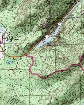
Topographic map courtesy of National Geographic
TRAILHEAD

August, 2017
CASCADE SUMMIT
After attempting this mountain so long ago, and being so disappointed with the weather, and consequent lack of views, it was really excellent to share this hike with my family, and have a view this time! I had always imagined what the view might look like on the top of this bald peak, and my imagination was somewhat close. I was pleasantly surprised and soaked up the views, as I pointed out all the other high peaks to my boys.
What made this hike even sweeter was that this was Alex and Nate’s first 46er peak ever, and because they had a great view, I may have planted the seed for them to one day become 46ers themselves. I’m sure I’ll be helping them along the way, that’s for sure!
Cascade is 36th at 4098 ft., and it takes 2.4 miles to reach the summit. The hike is 4.8 miles round trip.
Porter’s long ridge starts from left to right, leading over to Cascade’s summit on the right.

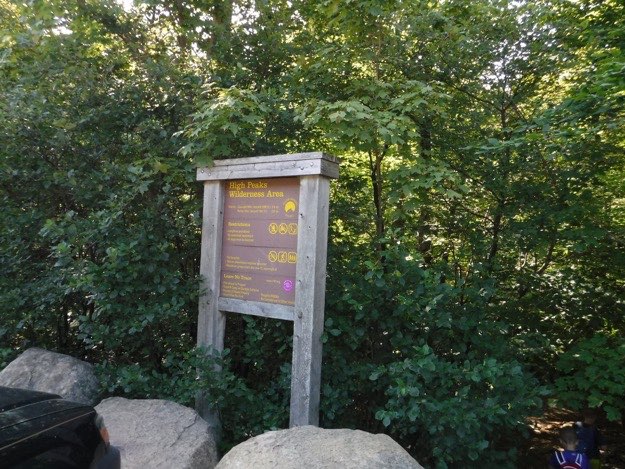
The trailhead on Rt. 73. Because this trail is so popular, parking can be an issue. Arrive early in the day for the best parking spots!
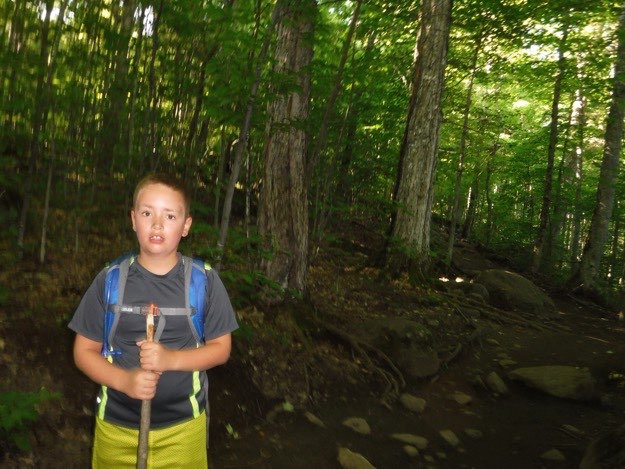
Alex found a hiking stick waiting in a pile by the sign-in register, and is now ready to hike!
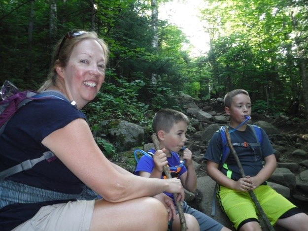
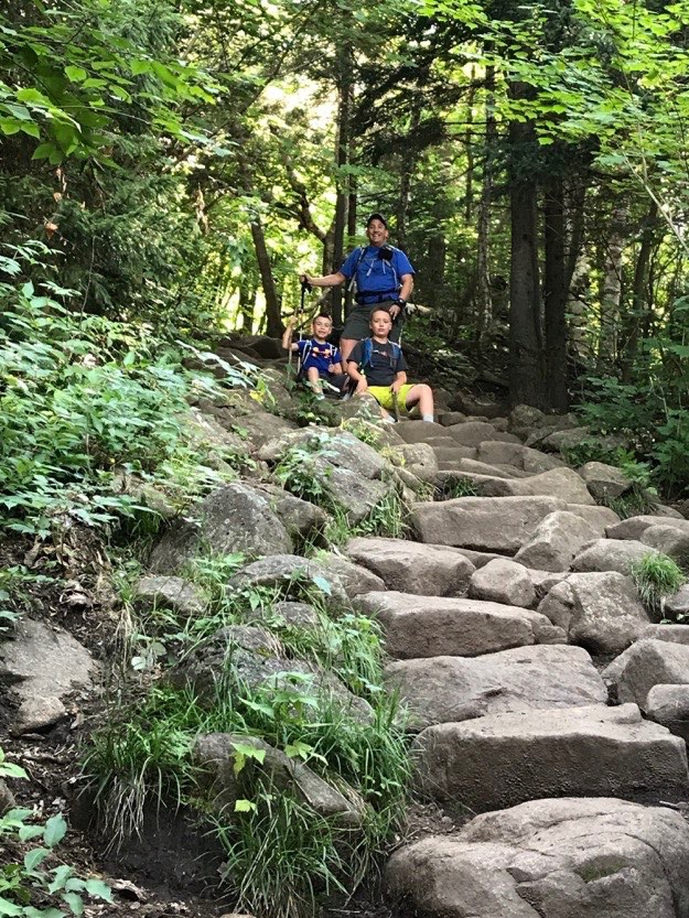
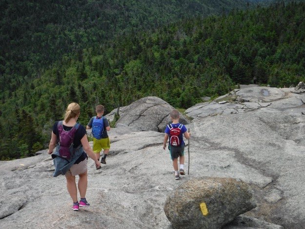
Jen, Nate and Alex take one of our many water breaks along the trail.
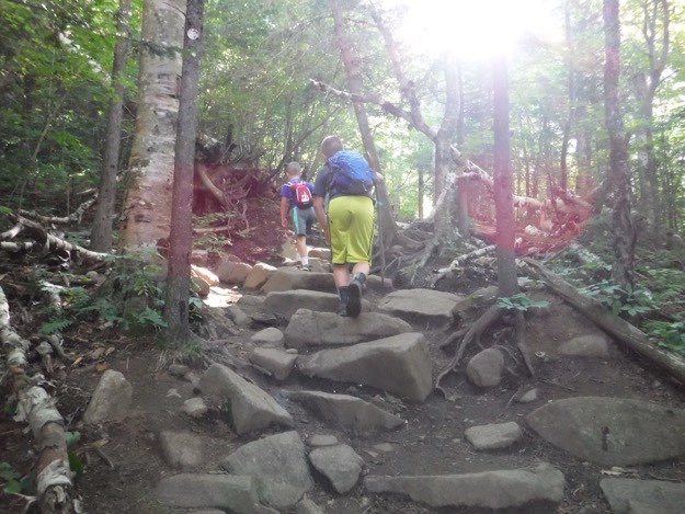
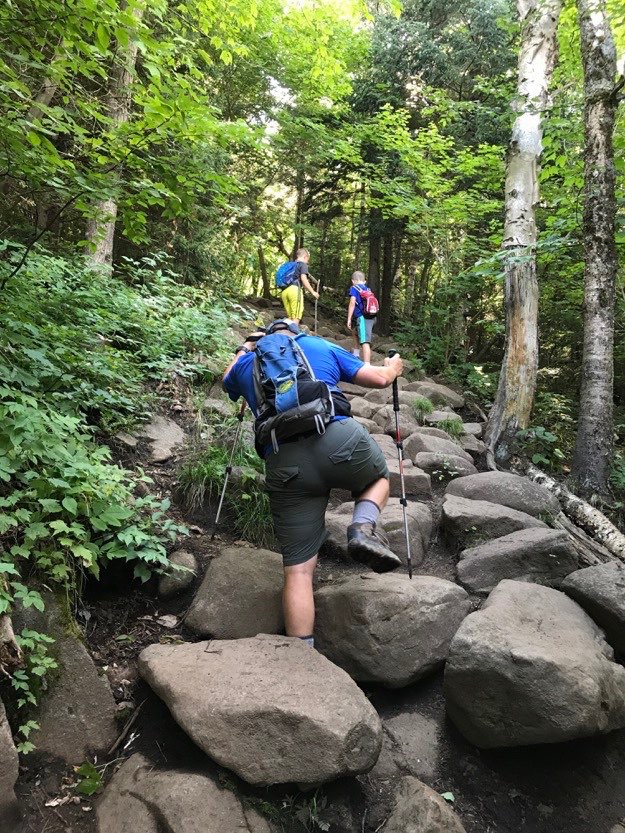
Climbing up the trail can seem like going up stairs at some points, thanks to the hard work of the trail builders and volunteers who maintain these great trails.
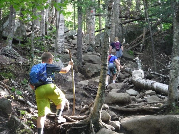
Up the bouldery red trail we go.
The boys and I take a much-needed breather at the top, and wait for Jen.
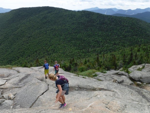
There are a few open slab sections of trail that require a bit more caution and trust in your hiking boots’ soles to get up, but it wasn’t a problem for the family...
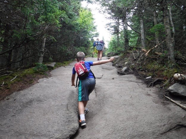
Another staircase-like section.
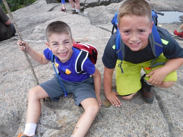
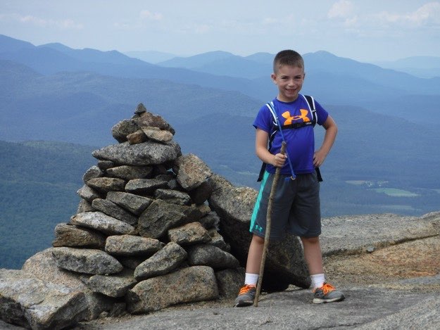
Nate and Alex happy to be touching the summit marker atop Cascade. Congratulations, boys; your first 46er high peak is half done!
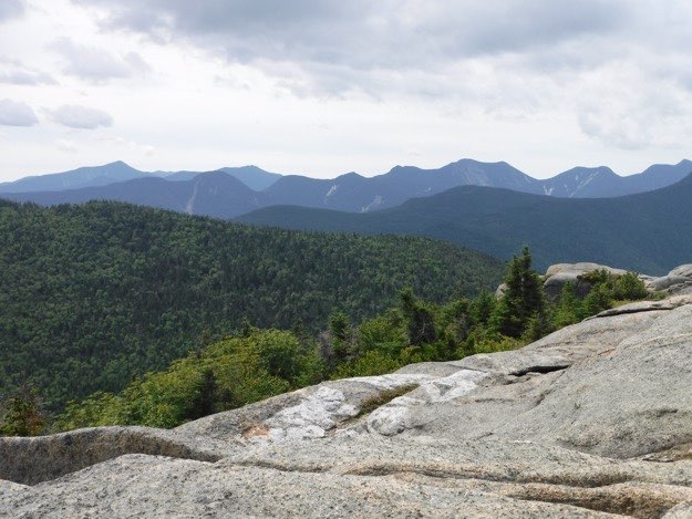
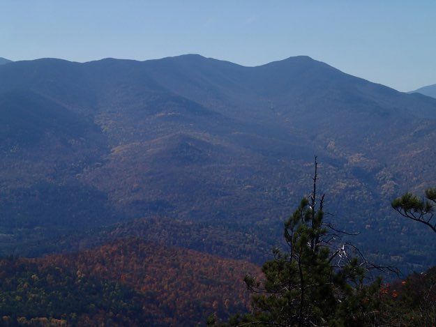
The dark mass of pines to the left is Porter, with the brothers and some of Big Slide in the middle-distance. The next ridge from left to right is Lower Wolfjaw, Upper Wolfjaw, Armstrong, Gothics, Saddleback and Basin. Beyond that is Dial and Nippletop, and Dix.
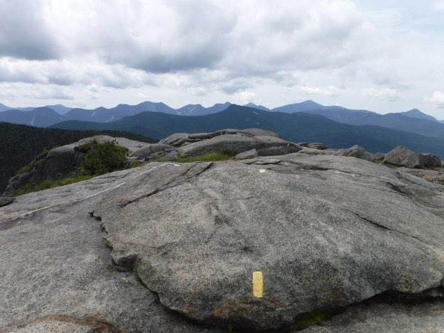
Looking back over the yellow painted blazes of the trail on the summit. Directly ahead is the dark shape of Big Slide. Beyond Big Slide, and continuing right is Basin, Haystack, Marcy, Gray & Colden. Between Marcy and Big Slide is Tabletop and Phelps.
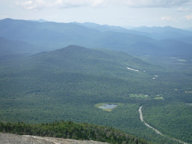
Looking down the mountain is Rt. 73 and Mt. Van Hoevenberg, with the white Olympic combined boblsed/luge track winding its’ way down the mountain on the right side.
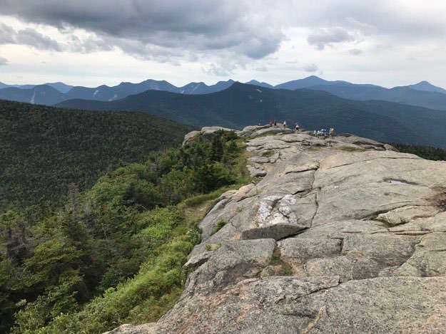
Another view down the open bald summit of Cascade, towards the other high peaks.
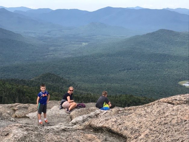
Nate, Jen and Alex soak up the hard-earned views from the edge of the cliff.
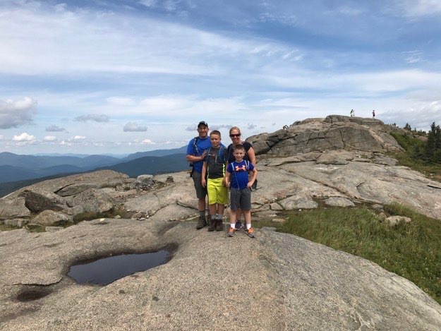
Family portrait time! The family that hikes together, stays together.
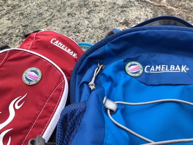
As a surprise, I awarded Alex and Nate with a Cascade pin for their day packs, to commemorate this momentous occasion!
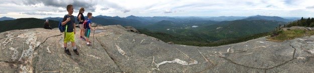
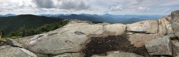
A couple of panoramas from the top, both with and without the family.
Alas, it’s time to start our descent.
This view shows the next-door neighbor, Porter. It’s about 1 mile away from the summit of Cascade, (0.3 miles to the trail split, then another 0.7 miles to the summit of Porter). When I asked the boys if they felt up to hitting Porter, so conveniently close, they opted to skip it, despite how logical it was to nab it. I was fine with their decision, so we continued down, happy with our accomplishment.
Nate stands proud at a cairn. Luckily, we didn’t need the services of any of the cairns on this clear day!
The rest of the hike went well. We took our time at a comfortable pace, and passed many, many people coming up the mountain along the way. We arrived back at our car very happy with our accomplishment, and loving the views we had at the top. Great job, family!
The end.