Colden, Tabletop

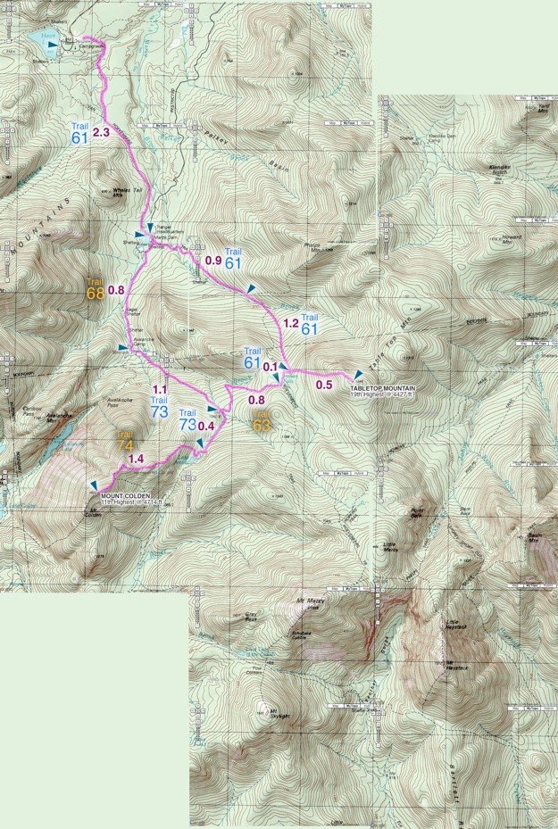
Topographic map courtesy of Topozone.com
October 2009
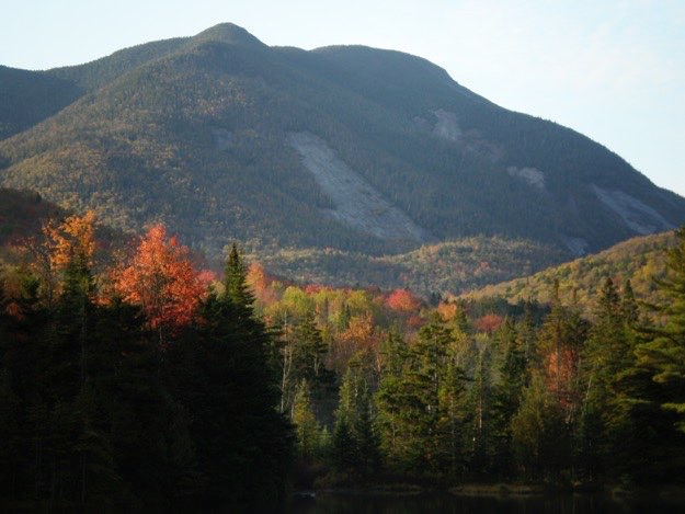
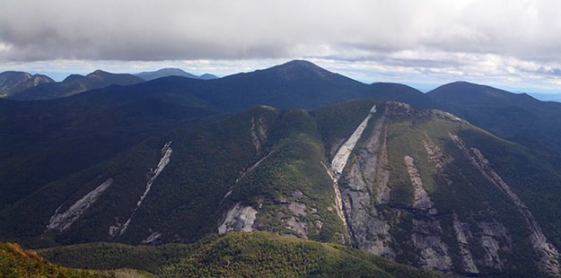
Mt. Colden as seen from Algonquin. Note: this photo was taken more recently than the trip described below. There is a newer slide shown starting at the summit, and pointing down and to the left, towards the trap dike. This slide is a result of the heavy rains from tropical storm Irene.


MT. COLDEN
TRAILHEAD


For our early fall hike, we decided to tackle Mount Colden (11th highest at 4714 ft.), and Tabletop (19th highest at 4427 ft.), as a 2-day hike. The first day, we departed the Adirondak Loj and hiked in the 2.3 miles to Marcy Dam area, where we ditched our full packs for lighter day packs at a lean-to. We then continued on and did the 11.3-mile mountain hike, before returning to the lean-to just as it was getting dark. After cooking dinner, we hit the hay, and hiked back to the Loj in the morning.
TABLETOP
MARCY DAM
(Part of my Original 46er quest)
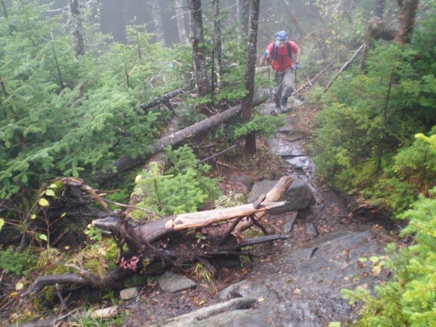
We’re starting the ascent up Colden now — getting steep!
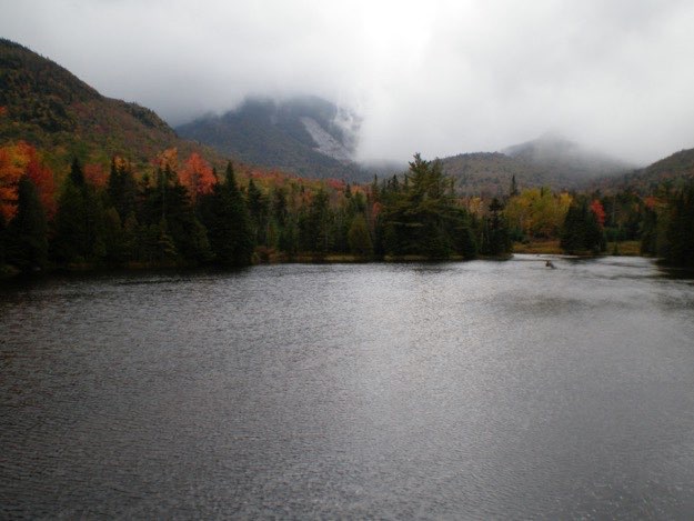
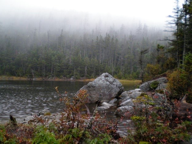
The guys stop to check out the (lack of) views on the dam.
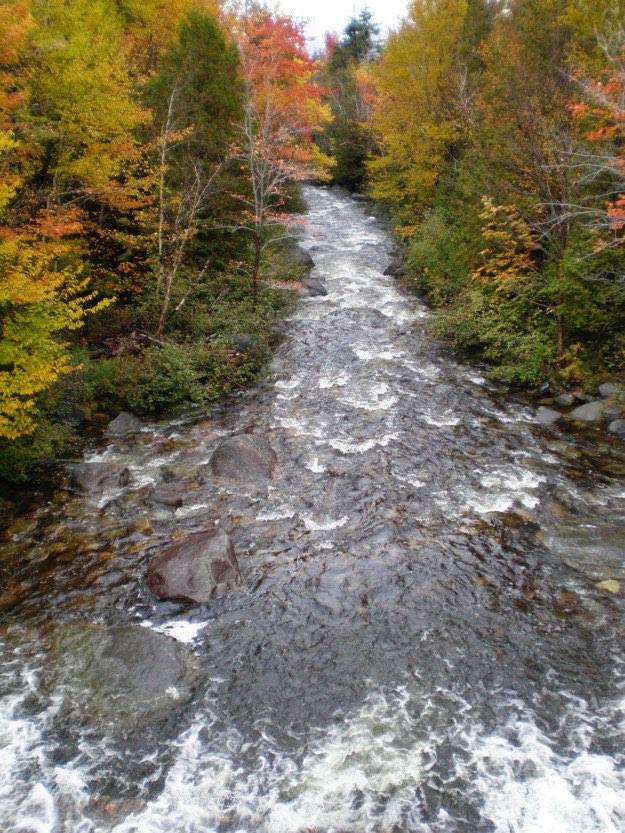
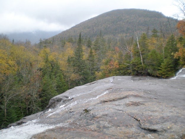
The view of Marcy Brook, after it goes over the dam and heads north. It is nice to see this unobstructed by cables and hanging bear bags from hikers!
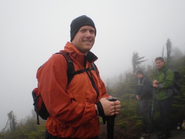
Andy looks at the “view”, and asks, “Are you freakin’ kidding me?” Darn clouds!
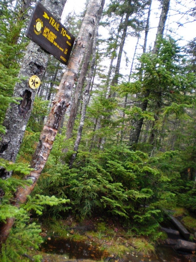
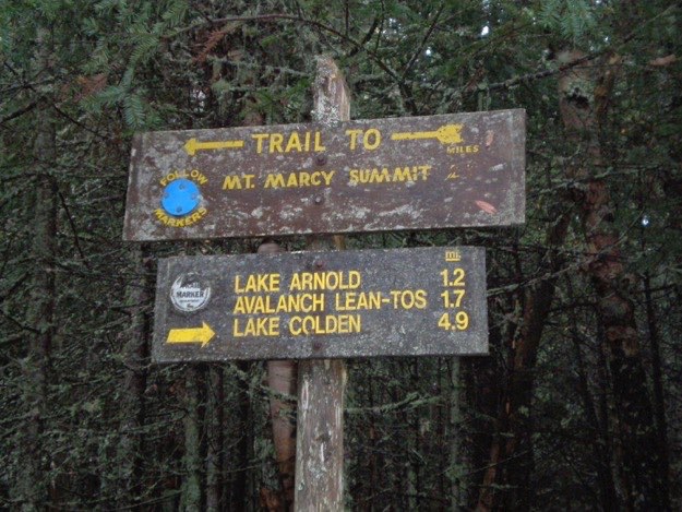
Another intersection. We’re staying on the blue trail, first passing Lake Arnold, then summiting Colden.
Chris coming up the trail.
A zoomed-in view of Colden.
After soaking in the views we missed yesterday, we hiked back the 2.3 miles to the Adirondak Loj, and headed home. We missed the views, but at least tackled another 2 peaks. Despite the lack of views, we had fun.
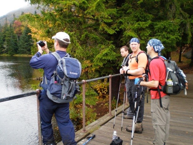
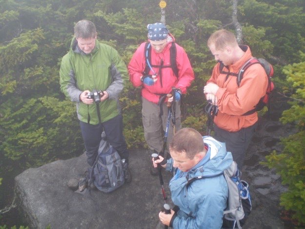
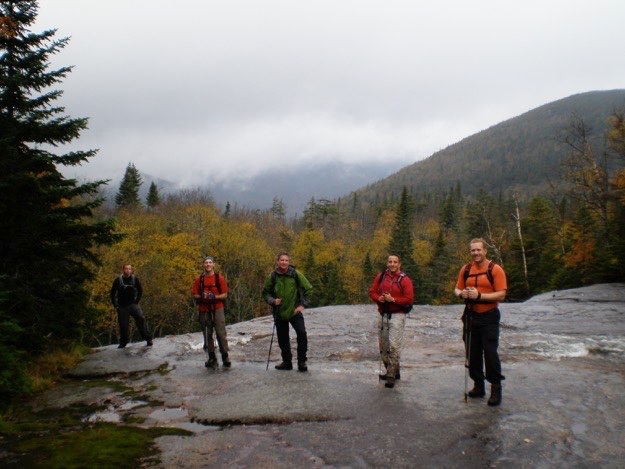
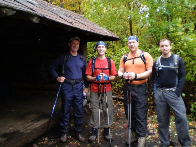
Mike, Chris, Andy and Jonathan, ready to leave for the day hike at a lean-to in the Marcy Dam area.
The “view” The mountain with the rock slide it the base of Mt. Colden, where we’re headed... Yup; we weren’t going to have a view today... <<sigh>>
Another trail intersection. This time, we’re turning left, onto the blue trail, which heads southeast.
Andy calibrates his altimeter, thanks to a helpful marker on this boulder.
We entered the clouds, and the cold, wet wind, on the false summit. Time to put on the rain shell.
Fast-fowarding a bit, we’ve gone back down past Lake Arnold, then turned right onto the yellow connector trail that takes us towards Indian Falls. Here we are standing atop Indian Falls, with a view west. The peak to the far right is known only as TR mountain.
TR mountain in the distance, with the edge of Indian Falls in the foreground.
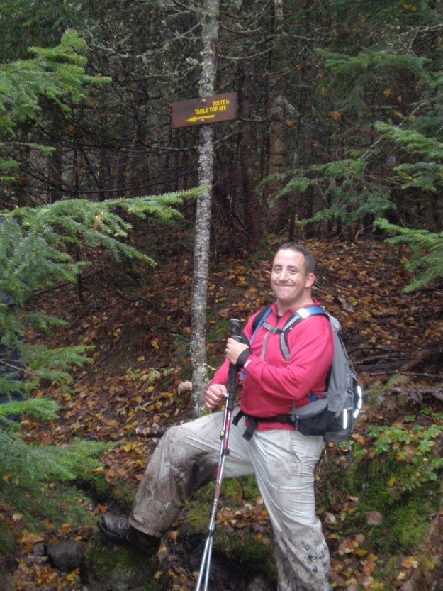
At the herd path turn-off for Tabletop, which is an otherwise unmarked trail.
After summiting Tabletop, we continued back down to the Phelps Trail. We turned right, heading northwest, back to our lean-to at Marcy Dam.
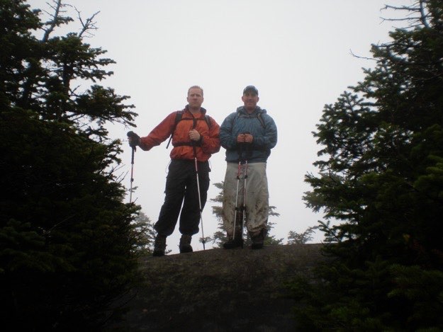
Andy and I on the summit.
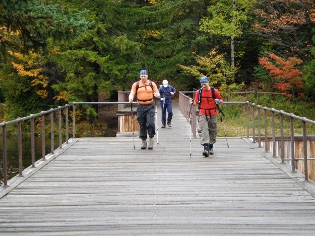
Time to get hiking!
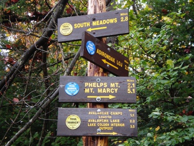
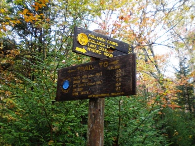
Our first signs of the day. We were taking the yellow trail to the right (which is south), towards Avalanche Lake.
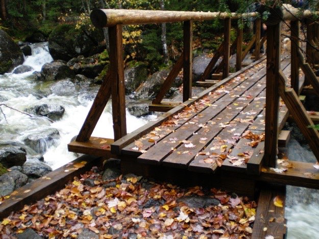
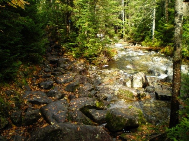
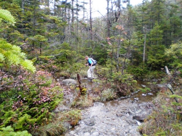
A wet bridge with wet leaves. Thankfully, it is perfectly flat. The rain the night before made the creeks and brooks swell, as you can see. This is Marcy Brook, about a mile before it reaches Marcy Dam farther to the north.
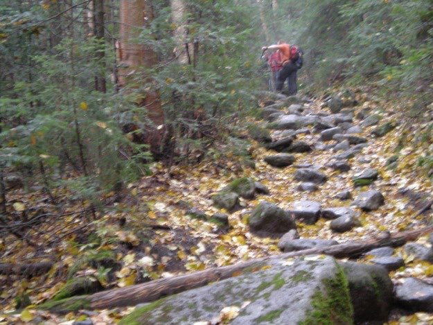
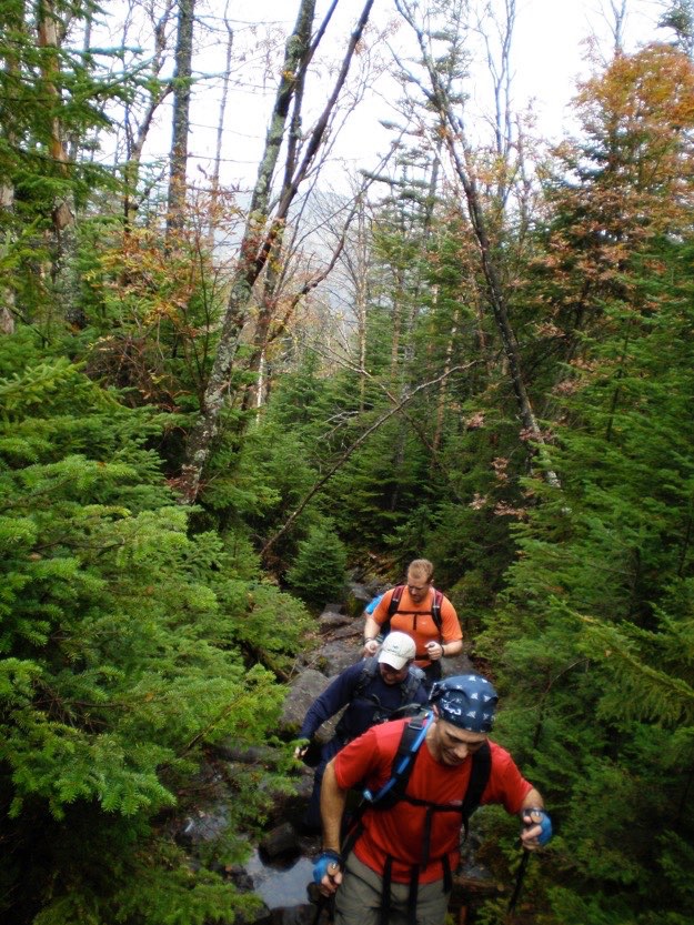
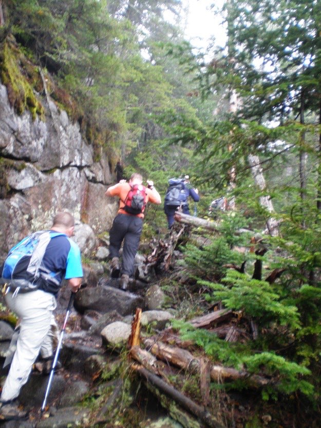
The trail is boulder-strewn, and on a slight incline, but not awful. Still, we take some breaks every once in a while.
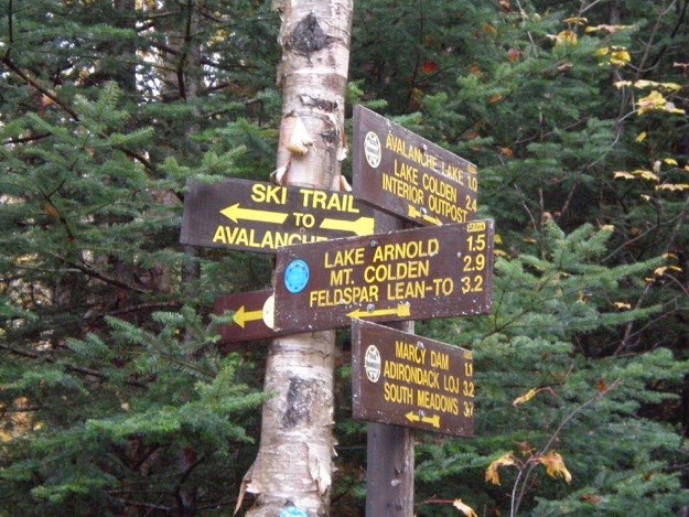
Turning right on the blue trail. Only 0.5 miles to Lake Arnold. Getting closer now.
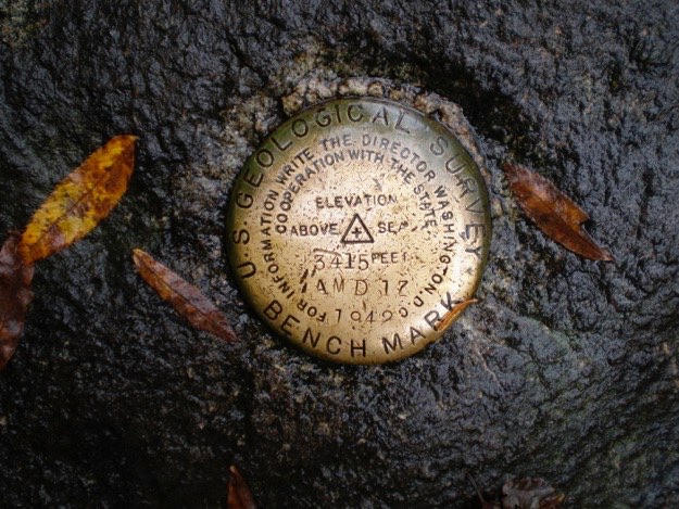
3415 feet above sea level.
Is that sunshine shining on Marcy Brook, as it comes down the mountain from Lake Arnold? Might we have a view after all? Perhaps? Maybe?
On the trail up to Lake Arnold.
The right turn onto the yellow trail, which will lead us west past Lake Arnold, and up the northeast slopes of Colden.
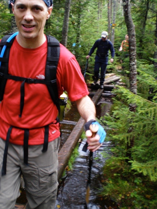
The guys cross the log bridges over the standing water near the lake, (which is really more of a pond, if I’m being honest about it...)
Behold, Lake Arnold!
There’s a tricky little mud bog crossing here. I’m trying my best not to fall into the mud.
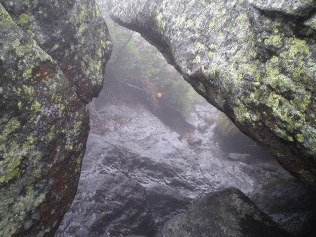
A view back down the trail that goes through a hole between a few boulders.
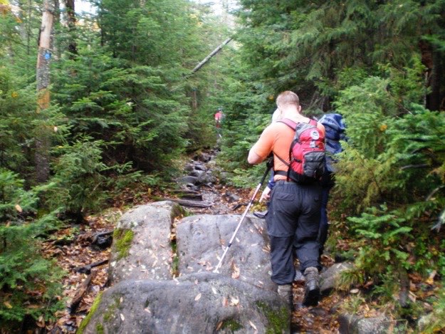
Now we take a left onto the superhighway of the Adirondacks, the Phelps trail.
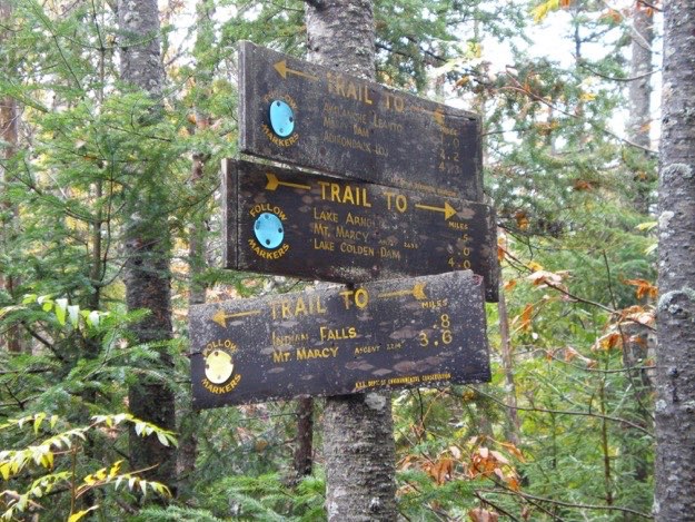
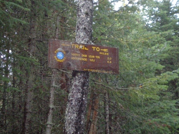
This sign shows the distances from where we came from.
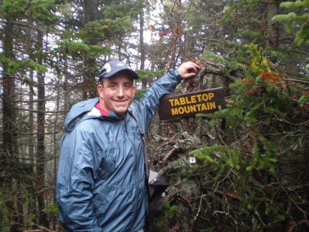
The treed-in summit of Tabletop. No view here, either. <<sigh>>
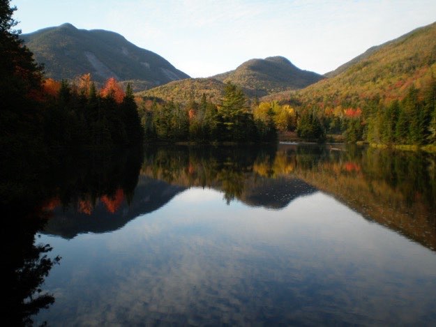
The views from Marcy Dam the next day was much nicer, (of course). Mt. Colden is the one with the rock slides, on the left.