Colvin & Blake 2

Topographic map courtesy of the ADK
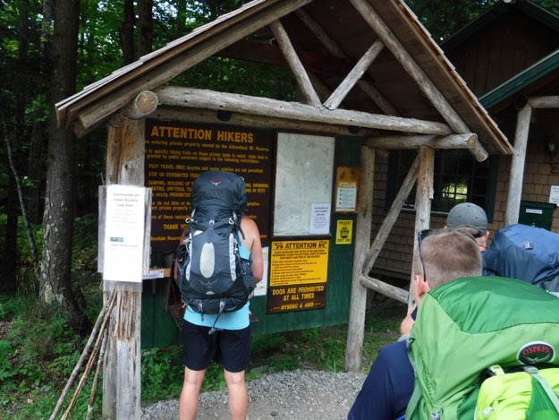
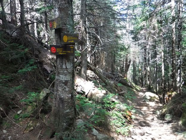
TRAILHEAD

July 2020
INDIAN HEAD

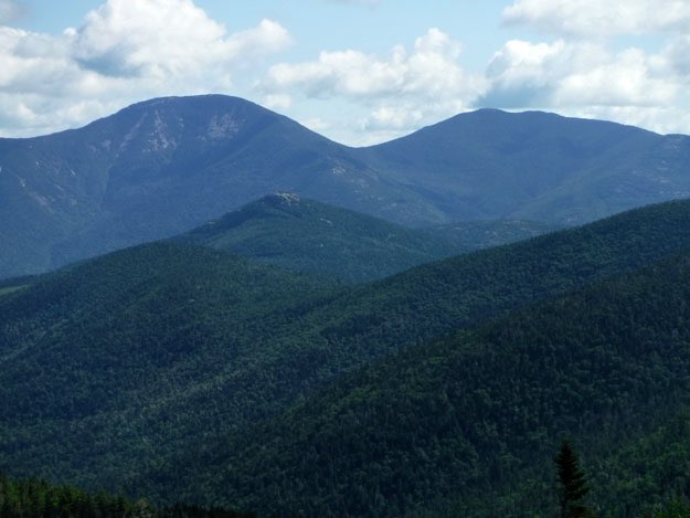
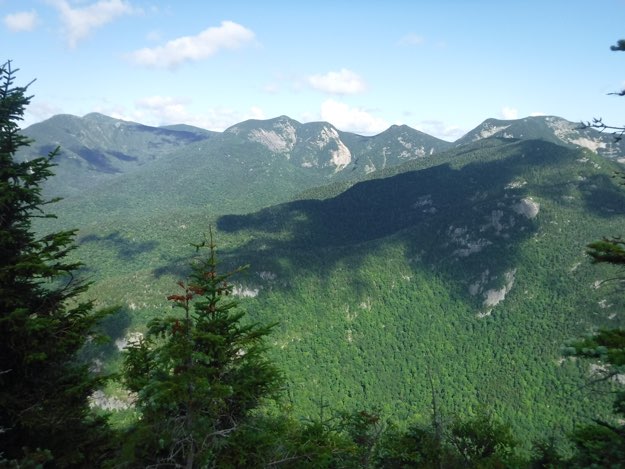
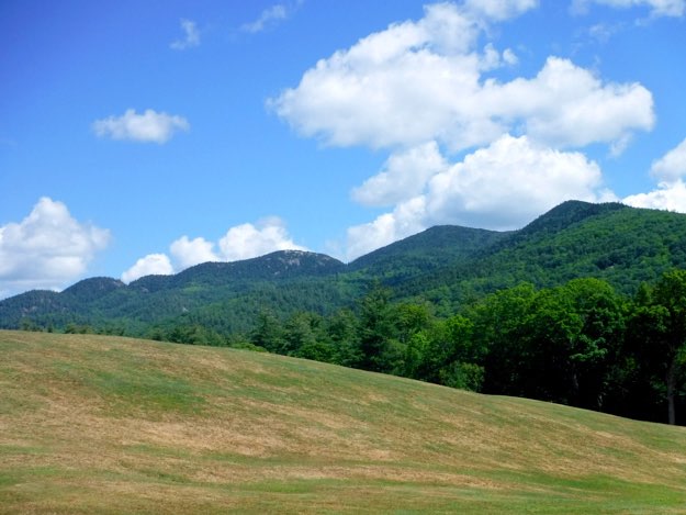
Colvin, as seen from Indian Head.
I had hiked this area once before, when I was an aspiring 46er, back in 2007. It was a trip I had very little recollection of, I think because it wasn’t good weather. It was raining and cloudy for much of it, and our camp was muddy and wet. The trails were also very muddy, especially the section between Colvin and Blake, which I’ve since learned almost NEVER dries out. So I guess my mind had blocked out much of the trip, due to the unpleasantness.
My friend Pete needed Colvin, Blake and Sawteeth for his 46er quest, so we decided to return to the area. This time, Andy and I were taking our oldest sons, Collin, (his) and Alex (mine) with us. To round out the group, my friend Chris joined for a total of six hikers.
MOUNT COLVIN

BLAKE PEAK

BASE CAMP


Day 1 — The hike to camp — 4.3 miles
2 hours, 30 minutes — 2,041 ft. ascent, 797 ft. descent
The next morning, we turned south, heading up Mt. Colvin (39th highest, at 4057 feet). I had forgotten most of this hike from my first visit, but found the uphill a steady, good workout. There weren’t too many major obstacles or scary steeps.
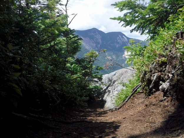
The summit is a small clearing with a brass summit marker, but I would encourage you to go just of the northern edge of that rock, to a better, less obstructed view of the northern half of lower Ausable Lake and the cliffs of Indian Head and Fish Hawk Cliffs. The views towards the eastern side of the Great Range is unparalleled, and should be savored! We ate some food and took pictures for about a half hour before continuing on. Just south of the summit on the way to Blake, perhaps 100 feet or so, there is also another cliff outlook to the right, looking south and west. It’s worth hoisting yourself up the boulder entrance to see it, especially if the summit is crowded, it would make for a quieter place to rest and eat some food.
Blake peak (43rd highest, at 3960 feet), was next, and was 1.3 miles away. We headed south along a pleasant woodland trail that meanders easily along the ridge for some time. But soon, we were heading down on several steep sections which had ladders. The ladders were quite well-used, and one missed a few rungs, but they held our weight. I do remember this section being particularly muddy the first time I did it. Perhaps it was because there has been better trail maintenance, or maybe it’s due to how dry a summer we’ve had, but it was not muddy, thankfully. The distance to the col between the two was 0.8 miles, where there’s another trail down to Upper Ausable Lake, called the “Carry Trail”. From this low point between the mountains, it was 0.5 miles up to the summit of Blake.
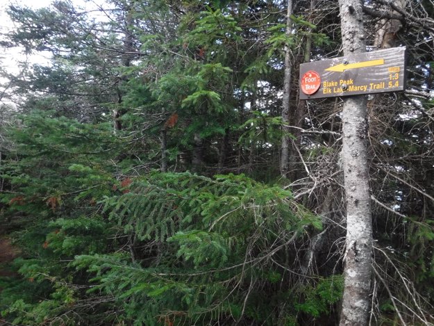
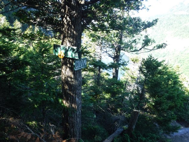
The ascent up Blake was very steep, and several sections required careful consideration for how to ascend the slabs of steep, exposed rock. We were sweating. A lot... Finally we reached what we thought was the summit, seeing two opposing signs in the customary brown signs at a high point. It turns out the actual summit is another 75 feet further south, and is marked with the green signs with white type of the AMR land. (Pictures below will make this a lot clearer—scroll down). Just letting you know; the true summit is the one with the green sign! After another 20 minute food break, we headed back the 1.3 miles to Colvin, then back down to camp.
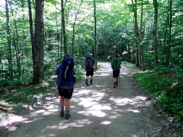
We met up at the almost-full St. Huberts trailhead parking lot in Keene Valley on a Thursday at 1:00 PM, and luckily got the last two parking spots. The lot fits exactly 30 vehicles, no more. I would imagine trying to get a spot on a weekend would be next to impossible.
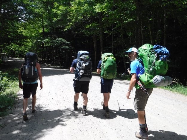
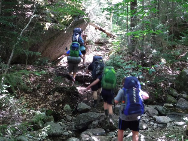
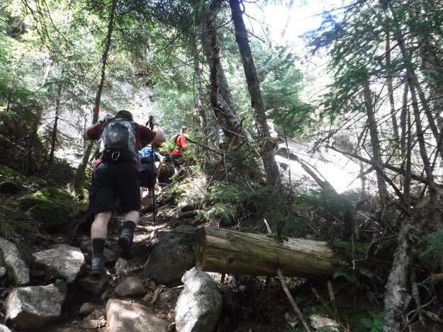
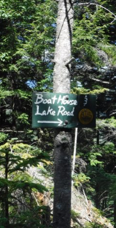
We hiked through the Ausable Club property, then headed south on Lake road. We then veered off onto the Gill brook trail. We tried to get the northernmost campsite, nearest to the only real access to water at Gill Brook, but it was already occupied. The campsite up just a bit farther, across the trail was closed, we found. We then hiked another 0.3 miles further south (and very uphill, mind you), to the last of the three Gill Brook campsites. Phew. If there wasn’t room there, we would’ve had to try for the campsites in Elk Pass, which was a lot further and more uphill than we wanted to be.
So looking at the topo map, our campsite was technically quite close to Gill Brook, which runs parallel to the trail, but it is down some seriously steep, thick, bushwhacking terrain, into deep trenches in spots—not ideal. We therefore had to make daily hikes downhill to the first campsite to get our water, which was inconvenient, to say the least. 0.3 miles down, 0.3 miles back up to camp, each time. It took roughly 12 minutes of walking to get back to camp. Keep this in mind, should you wish to camp in this area.
While we were there, two other groups of hikers had to share our campsite. It became quite crowded there, but luckily, there were enough flat spots for tents, just barely.
Day 2 — Colvin, Blake, Colvin — 6.5 miles
7 hours, 46 minutes — 3,152 ft. ascent, 3,152 ft. descent
Day 3 — Fish Hawk Cliffs, Indian Head, hike out
— 5.2 miles — 3 hours, 9 minutes — 1,212 ft. ascent, 2,361 ft. descent
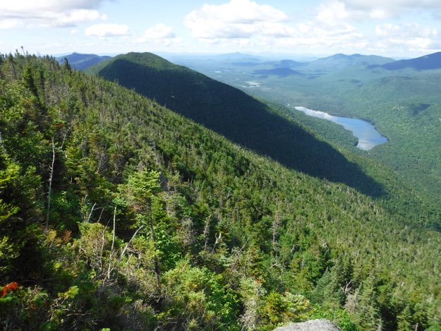
On our last day, we climbed south to pick up the trail to Fish Hawk Cliffs, which offered a beautiful view, then down into a small valley. Then, we hit the doozy of a short, but very, very steep climb up the side of Indian Head. In all the climbing we did that trip, we sweated by far the most on this stretch. Granted, we had full packs on, but it was really taxing. Once we saw the absolutely spectacular views from Indian Head’s multiple-levels of lookouts though, it was clear that it was worth that effort. This is arguably the most scenic spot in all the Adirondacks!
After letting the sweat evaporate, we came down Indian Head, and ended up at the northernmost tip of Lower Ausable Lake. Andy, Collin, Alex and I took the Lake Road back to the car, while Chris and Pete took a side journey to go tackle Sawteeth first.
Leaving the parking lot, and hiking up the dirt road towards the Ausable Club.
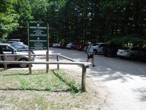
Pete leaving the St. Huberts trailhead parking lot, with the newer signage declaring the 30-vehicle maximum limit.
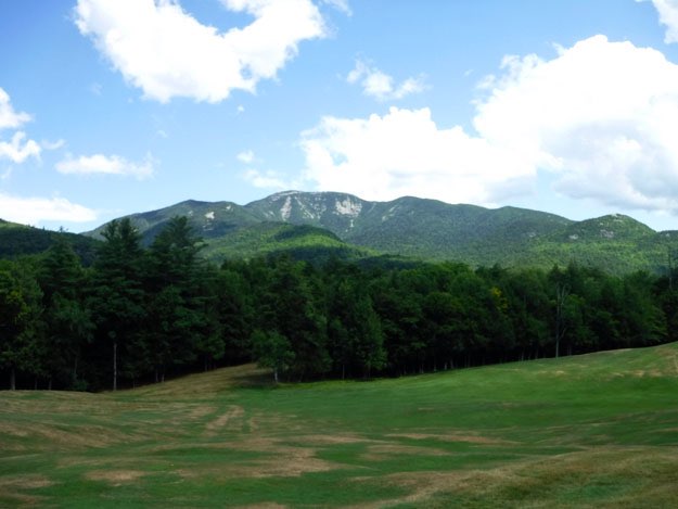
The view of Giant from the golf course.
We give Pete the honor of signing our group in at the gate.
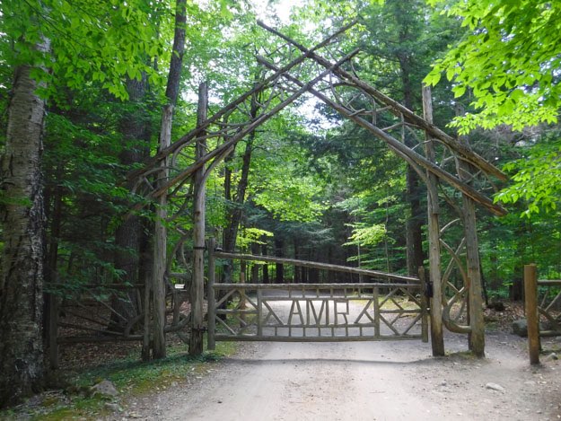
The now-familiar “Elven” gate, as we call it, which feels like it’s right out of a J.R.R. Tolkien adventure. This is the Lake Road, and we’ll be on it for a couple miles, heading south.
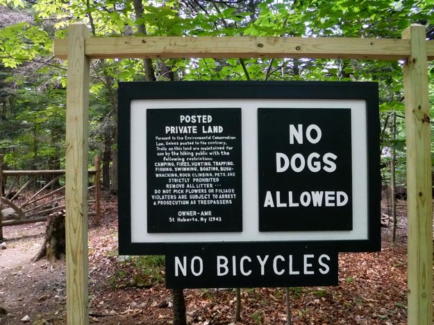
Newer signage makes the rules to hike in the AMR (Adirondack Mountain Reserve) very clear.
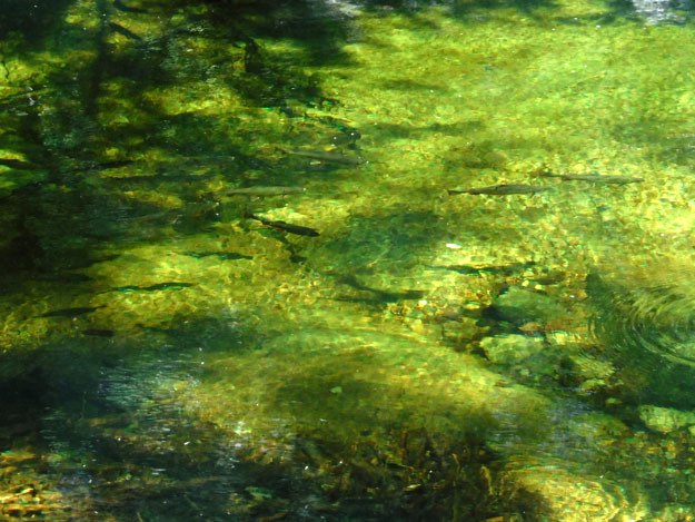
A couple miles up the Lake Road, there’s a dam and small reservoir with brook trout.
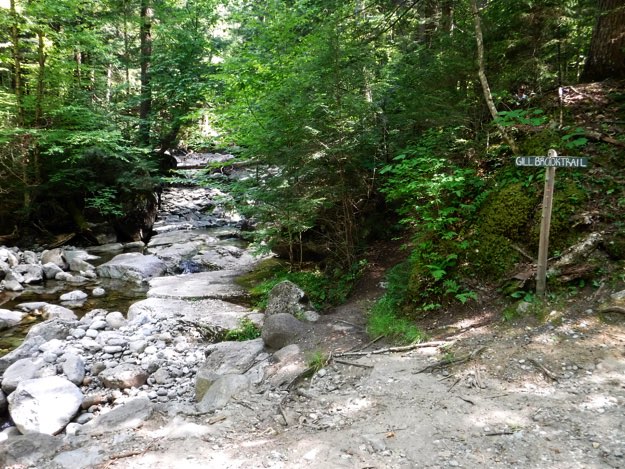
After a couple miles, we turn left onto the Gill Brook Trail, which leaves the Lake Road, and meanders along idyllic Gill Brook, as its name suggests.

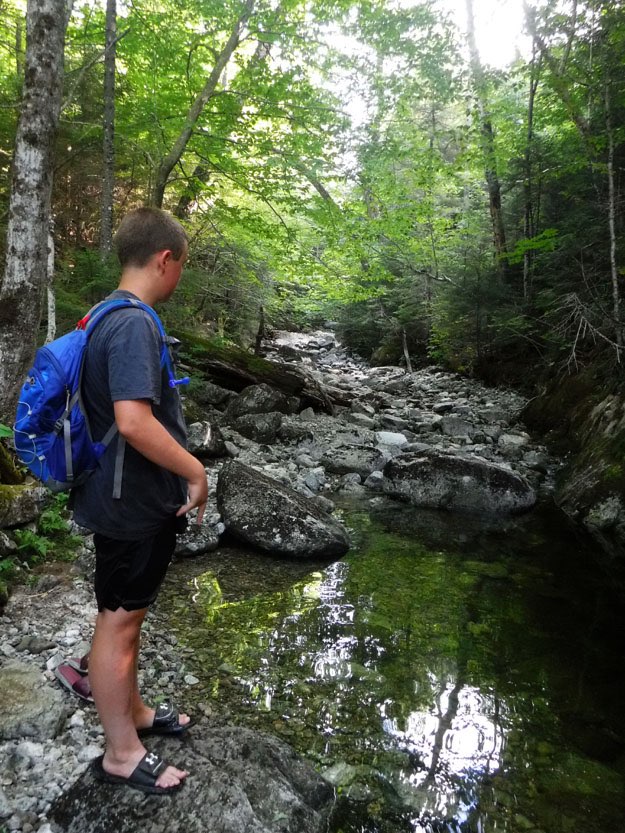
Alex takes a rest at one of the scenic mini waterfall sections.
Our first intersection allows us to keep going on the Gill Brook Trail, or cut back to the Lake Road. We opt to keep going on the trail, towards Colvin.
One of the sections along the way.
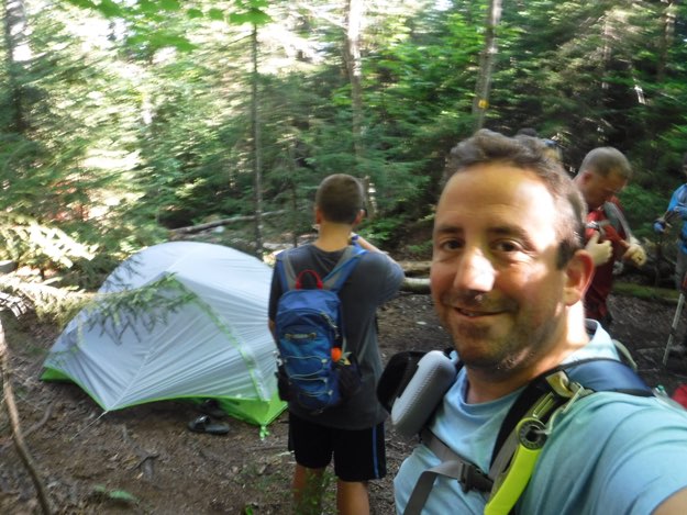
Our campsite, as we prepare to depart for the day.
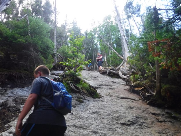
On the trail heading south towards Colvin.
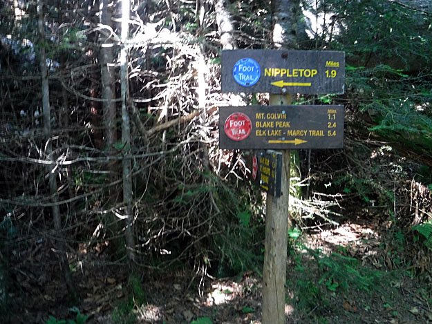
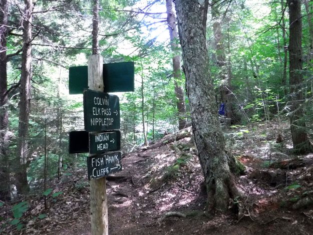
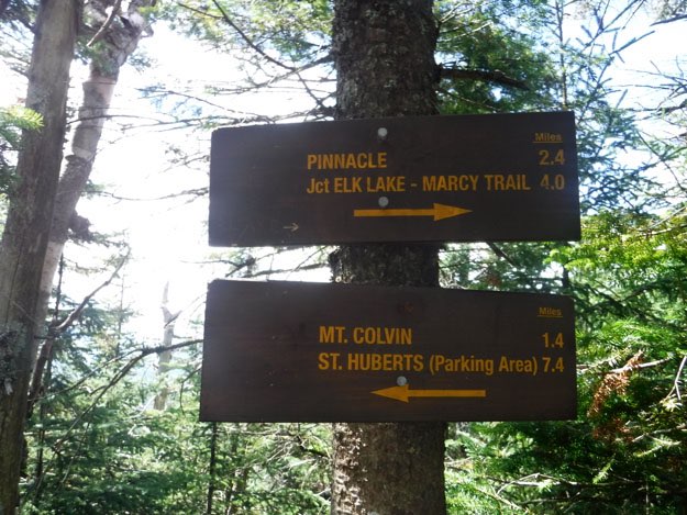
The intersection with the trail towards Elk Pass, then up to Nippletop. We stayed on the red trail, and had 1.1 miles to climb to the summit of Colvin.
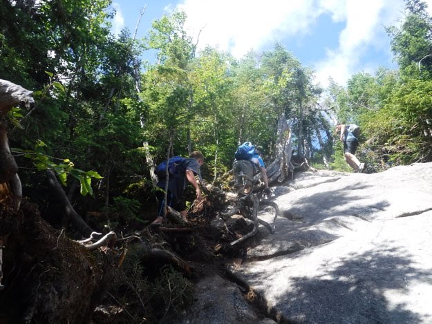
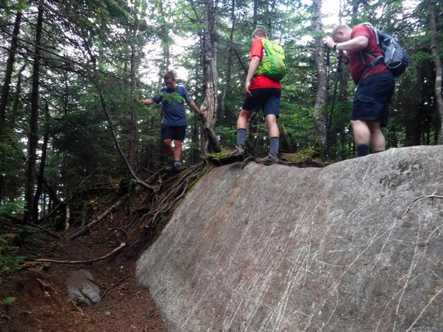
Trying to navigate one of the steeper slab pitches going up Colvin.
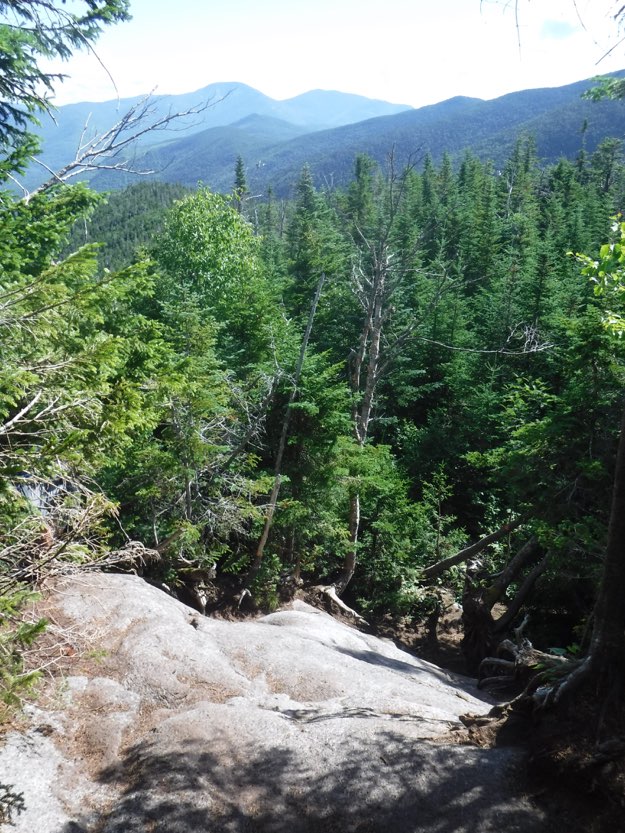
At the top, the views back northward are opening up. Giant and Rocky Peak Ridge can be seen in the distance.
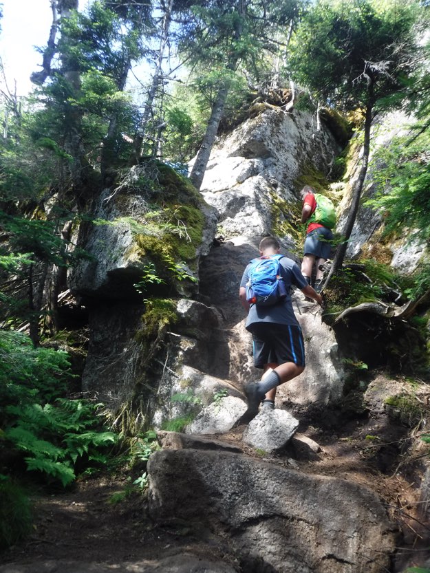
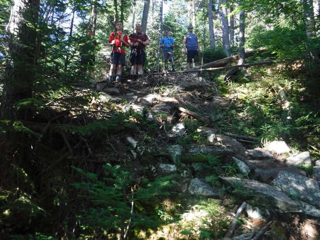
Collin and Alex finding their way up another steeper section.
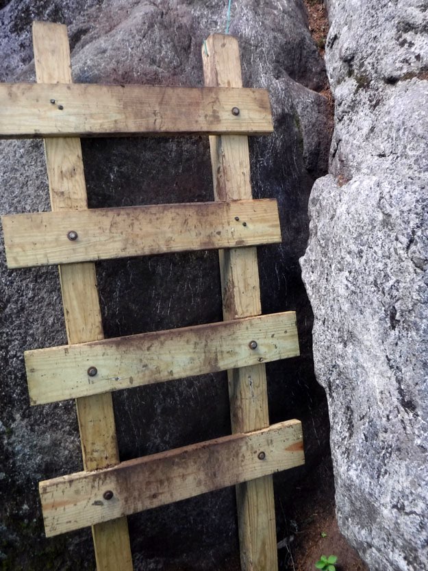
A short, unanchored, but appreciated ladder near the summit of Colvin.
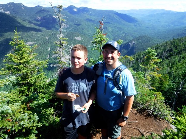
Alex and I pose for a picture at the northernmost ledge, just 15 feet from the summit.
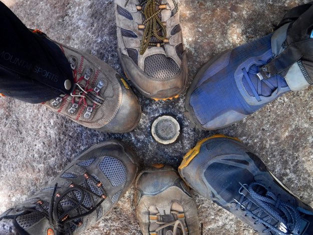
The obligatory boot shot.
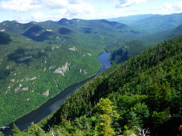
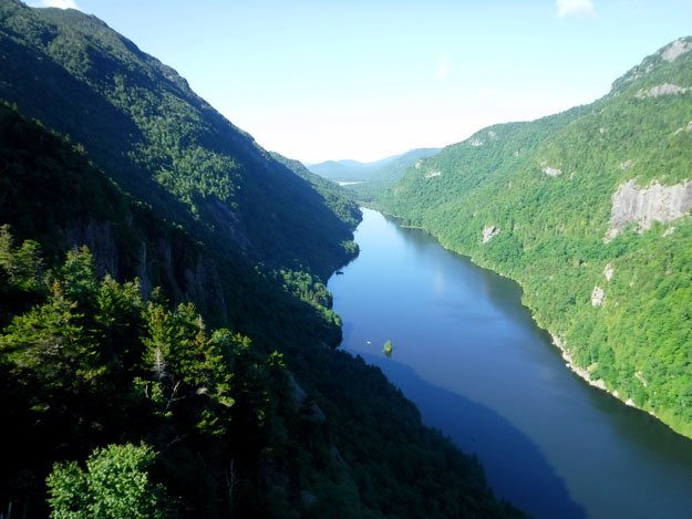
The spectacular view northward. Lower Ausable Lake separates us from Sawteeth and the Great Range off to the far left side.
Zooming in a lot, the beach and dam are visible at the northern end of the lake, where the East branch of the Ausable River continues on. On the right are Indian Head and Fish Hawk Cliffs, which we visit the next day.

FISH HAWK CLIFFS
“ELVEN” GATE

The view of Haystack, with Mt. Marcy just behind and to the right a bit.
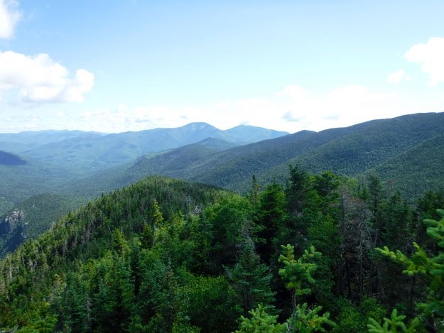
This is the view northward, showing basically the ridge we just hiked up to get here, (the greener hump in the foreground). Beyond in the distance is Giant and Rocky Peak Ridge.
A zoomed-in view of Giant on the left, and Rocky Peak Ridge on the right. The considerably large v-shaped col between the two is very noticeable from this angle.
After we refueled and rested, it was time to head further south to Blake. 1.3 miles to go...
But wait! Just after leaving the summit, there’s a neat viewing ledge to the right that is work checking out.
The view directly west, showing the Great Range. From left to right is Haystack, Marcy, Basin, Saddleback, Gothics, and most of the picture shows a shadow of a cloud on Sawteeth across the valley.
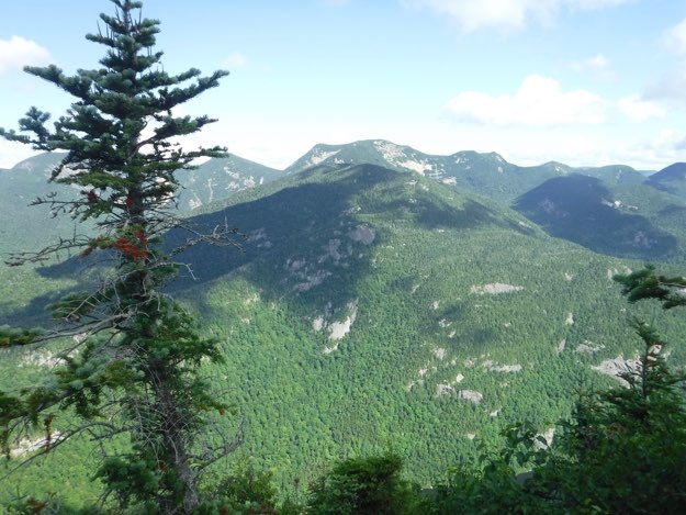
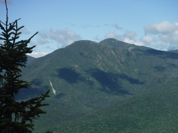
The view of Sawteeth across the other side of the valley.
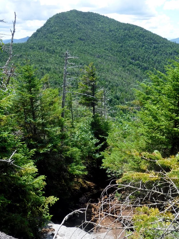
A bit of foreshadowing: Blake Peak to the south, is covered in the dark shadow of a cloud. We have a lot of down, then up to cover to reach our next goal... Off to the right is Upper Ausable Lake.
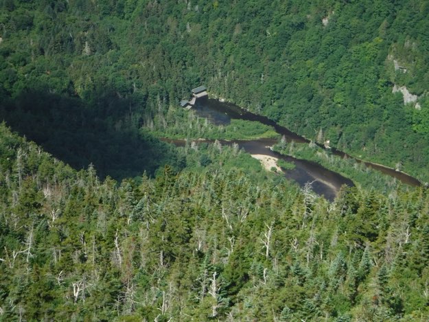
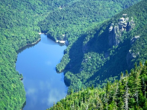
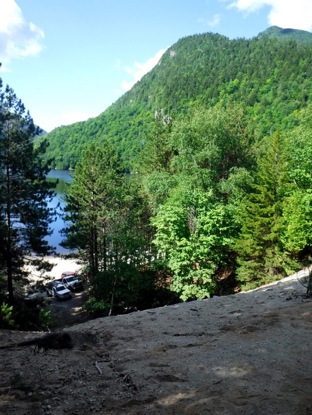
The boat houses at the southern end of Lower Ausable Lake, from the lookout near Colvin’s summit.
Starting the descent down into the col between the two mountains. Blake lies ahead of us.
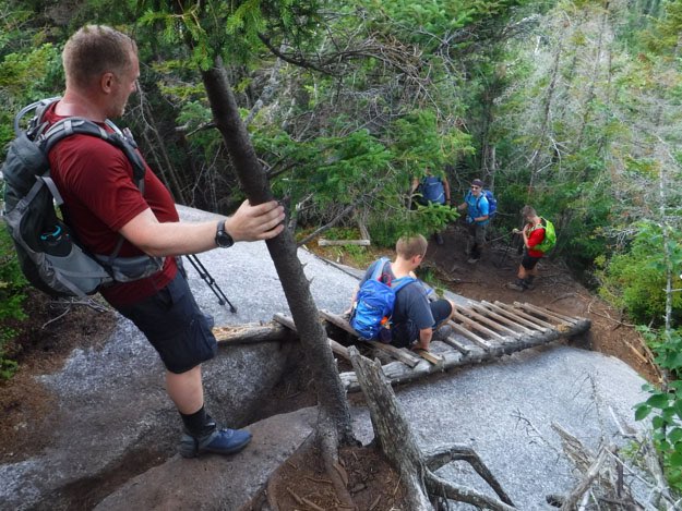
One of several ladders on this route. There are rungs missing, and it felt a bit sketchy, so we each took our time negotiating this one.
In the col between Colvin and Blake, there’s an intersection with the yellow Carry Trail, which leads down to the valley, to cross between Upper and Lower Ausable Lakes. This is referred to “the Elevator Shaft” trail, due to the very steep incline. We stayed on the red trail, heading south to Blake, now only 0.5 miles away.
Up we go, huffing and puffing, and sweating a lot...
One of the slab sections that required a bit more effort, and caution to climb.
As you near what seems to be the summit, you’re greeted with these two signs. One could very easily surmise that this is the summit, since there are arrows going both ways, but no! Continue further, perhaps another 40 yards south, to the official summit.
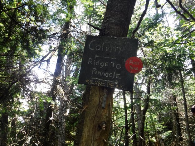
The true summit, (I’m pretty sure).
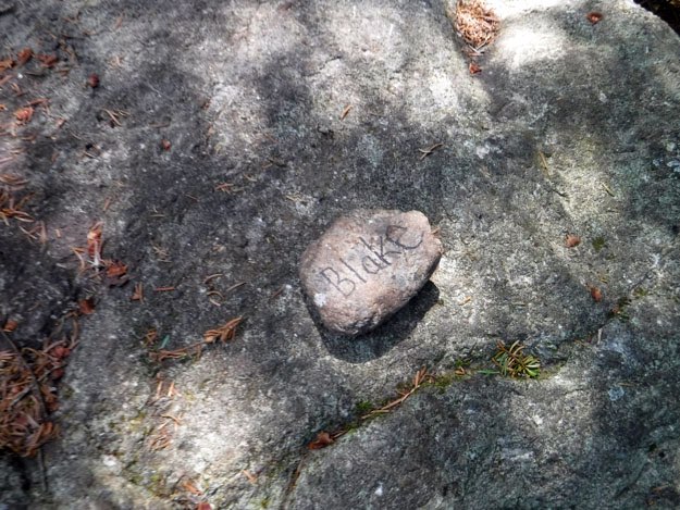
There’s a big boulder at this spot, and a tiny little rock on top that declares this the highest point on the mountain.
After resting and refueling, we departed Blake’s summit, and headed back towards Colvin. Seeing the scratched rock at this spot, with graffiti was very discouraging and saddened us...
Fast-forwarding a lot, we’re now back at Gill Brook, near the northernmost campsite, where we filtered water, and cleaned up a bit. Remember, this was 0.3 miles north of OUR base camp, at a lower elevation.
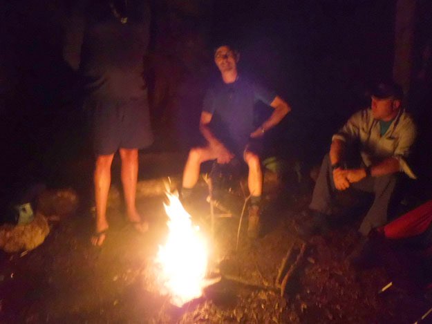
Later that same day, we had finished cooking, eating, and hiding our bear-resistant food canisters, so it was time for a nice campfire, which is perfectly legal in this area, (we had been assured by a ranger earlier that day).
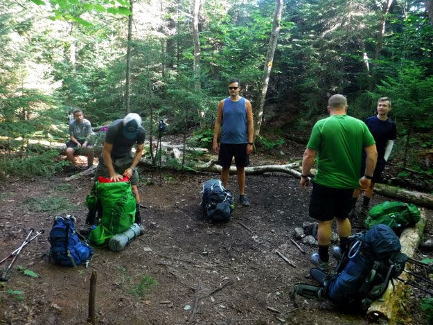
Finishing packing up camp, before we depart our home away from home.
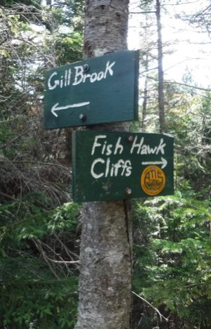
Heading south on the red trail, again towards Colvin, we shortly met up with the yellow trail we would take towards Fish Hawk Cliffs, 0.5 miles away, and then Indian Head, 0.2 miles further beyond that.
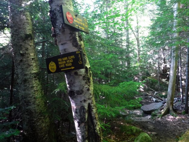
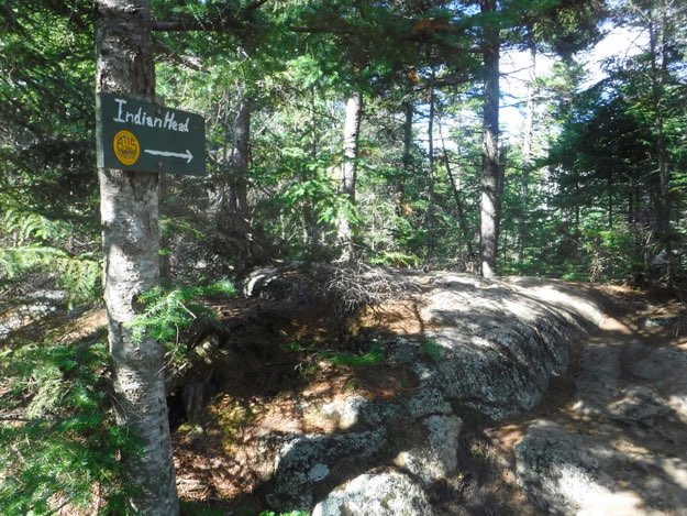
Just before emerging from the woods out onto Fish Hawk Cliffs, there are two signs on a tree, proclaiming that to the right is Indian Head, and back the direction we just came, is Colvin.
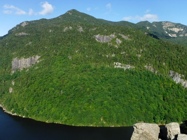
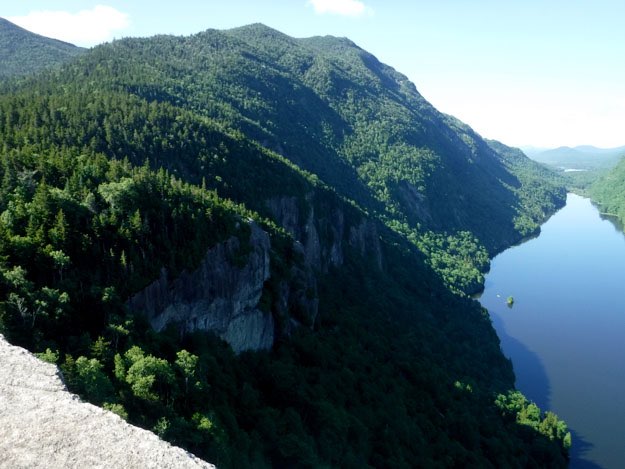
The amazing views from Fish Hawk Cliffs, looking south. Colvin is on the left, Sawteeth is on the right, and Lower Ausable Lake lies between them.
Sawteeth from Fish Hawk Cliffs.
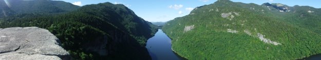
This is a panorama from Indian Head.
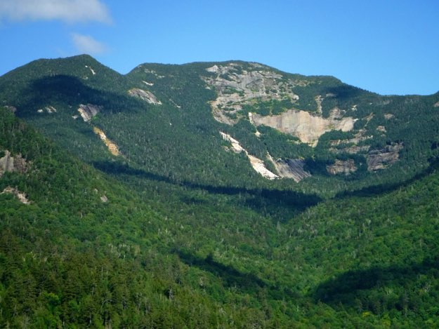
This view from Indian Head’s lower cliff looks back at Fish Hawk Cliffs, (that exposed wall of granite), and Colvin.
A zoomed-in view of the back of Gothics from Indian Head.
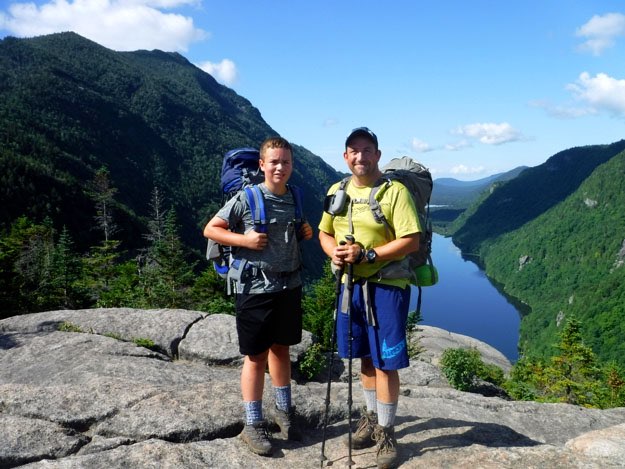
Alex and I atop the upper lookout of Indian Head. Just behind us, there is access to a lower cliff that offers even more stupendous views. Explore this amazing area if you visit!
After a very, very steep ascent to the top of Indian Head, we see the trail sign pointing to the payoff—the amazing views are close by now...
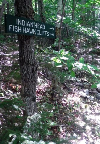
Many signs at the intersection near Indian Head. We took the turn north, to the Lake Road.
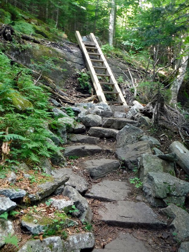
Looking back on a nice set of rock stairs and wooden staircase heading towards Indian Head. Nice trail!
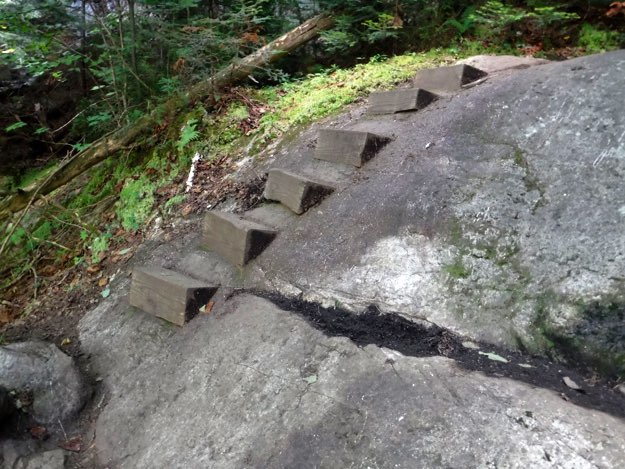
We spent a good amount of time discussing how they made this set of very solid wooden stairs. There were absolutely no fasteners of any kind showing. Impeccable craftsmanship...
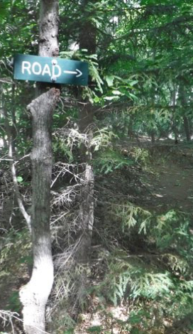
Nearing the lake now, we’re seeing signs at some intersections. We naturally continued on to the road.
There’s a neat all-sand hill leading down to a sandy beach at the lake.
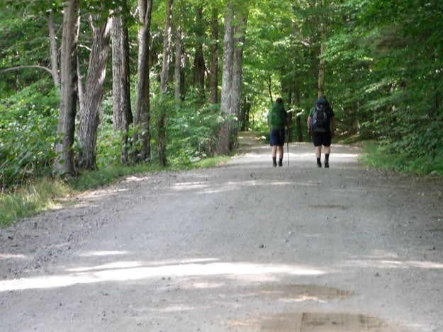
Soon after, we found the Lake Road, and began our long, but easy trek downhill, and northward, to the car.
Hiking on a road is perhaps not as nice as a trail, but this one isn’t bad! It’s in the woods the entire way, and is plenty scenic.
As we pass the golf course again, we soak up the last open views of the trip—and what a great trip it was!
The end.