Dial & Nippletop

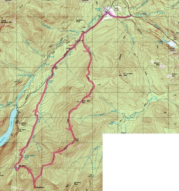
Topographic map courtesy of Topozone.com
September 2010
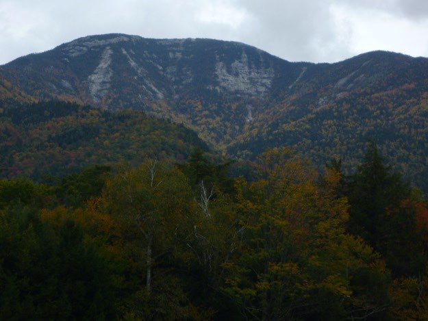
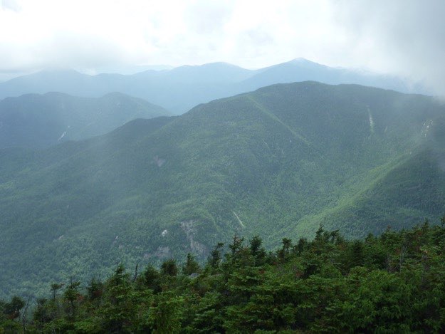
Nippletop seen from Dix Mountain.


DIAL
MOUNTAIN
TRAILHEAD

St. Hubert’s

Bear Den
Mountain
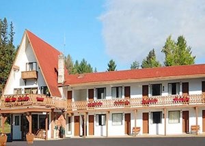
This hike was somewhat unique, in that it allowed us to do it in one long day hike, versus our typical camping trip. It also allowed us a bit of luxury, because we could stay in a hotel the night before the hike. So, we loaded up 2 cars, and headed for Lake Placid, where we stayed in a cheap hotel: the Econo Lodge.
After a few frosty beverages at the Lake Placid
Brewery, we hit a small Italian restaurant overlooking
Mirror Lake for some carbo-loading with spaghetti
dinners. Then it was back to the hotel for an early
bedtime.
Nippletop is 13th highest at 4620 ft.
Dial is 41st highest at 4020 ft.
Image courtesy of Econo Lodge Hotels.

NIPPLETOP PEAK
Elk Pass

(Part of my Original 46er quest)
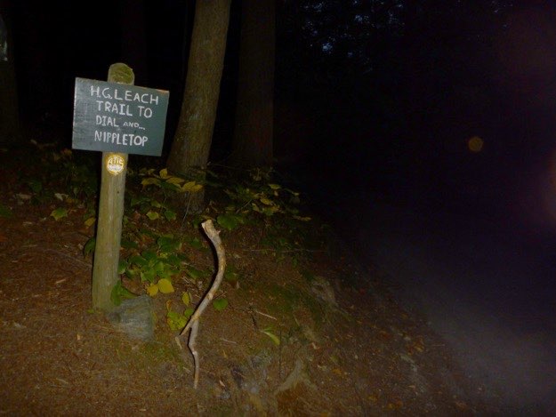
The dark green sign indicating we must turn left off the road, and take the H.G. Leach trail. From here, we begin the serious climbing.
The trail turns left at this point, but you should not miss the great lookout to the right on some open rock!
The peak hike — a clockwise loop of 13.6 miles
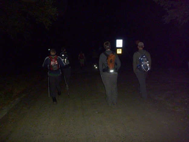
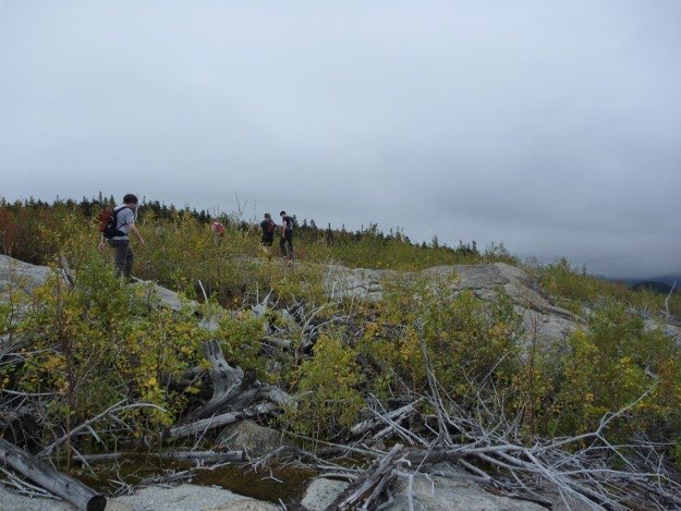
Just barely bright enough now to not need headlamps on. The sun is soon to rise. The path is mercifully soft and free of boulders; a rare thing in the Adirondack High Peaks!
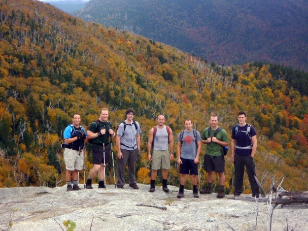
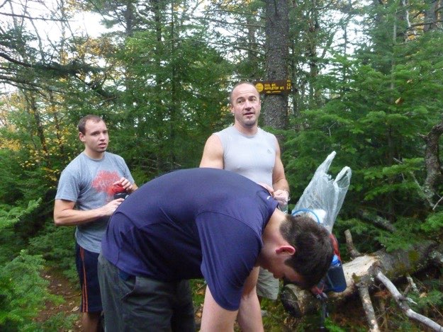
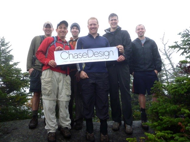
The boys from ChaseDesign get their photo op on the summit.
The trail goes through a section of trail called, “The Burn”, which as you might surmise, was victim to a devastating forest fire many years ago. All of the trees are quite small and immature here.
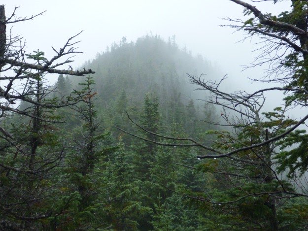
The slippery trail heads down just a bit, then up to the summit, (obscured by clouds).
On the trail down to Lake Road.
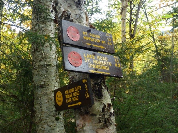
Another intersection. We’re staying on the orange trail, leading 1.1 miles to Lake Road. 4.2 miles to go!
We’re all cleaned up, back at the cars. From here, we headed down to Saratoga Springs, and pretty much emptied out an all-you-can-eat Chinese Buffet, before heading back home. A successful trip!
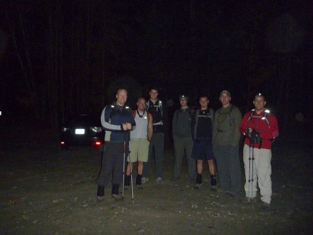
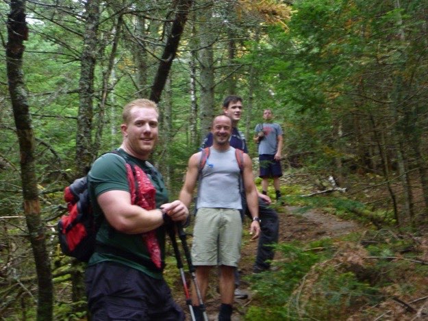
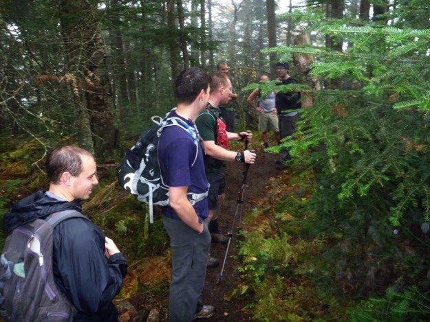
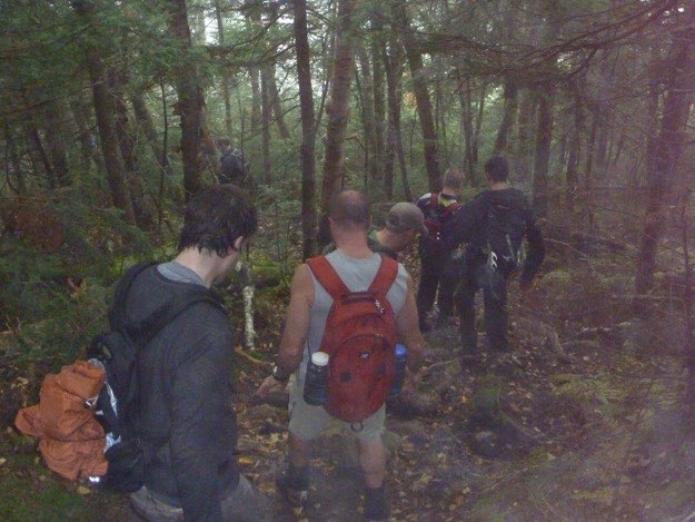
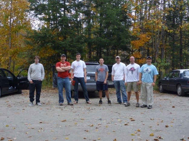
5:30 AM, armed with headlamps and a positive attitude. From left to right: Andy, Jim, Pete, Zach the intern, Jonathan, Dave and myself.
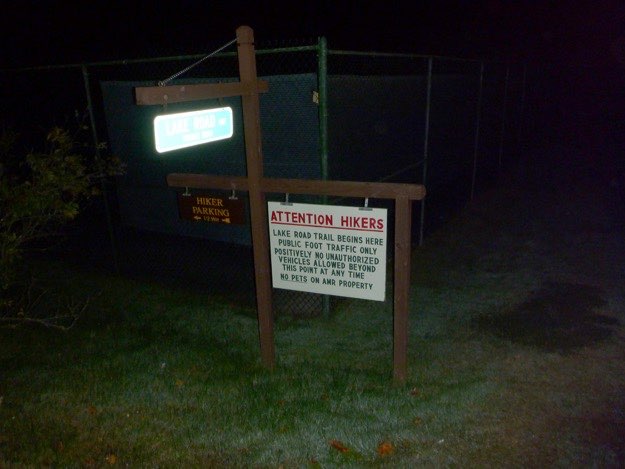
The left-hand turn onto Lake Road, just past the tennis courts. This road is only accessible for hikers on foot; not by car, so it adds some mileage to your hike.
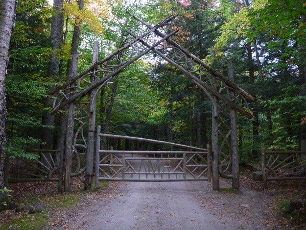
After we sign into the register, the road leads to the very elvish-looking gate. It is like you’re instantly transported to Mirkwood Forest, or some other Tolkein-esque setting.
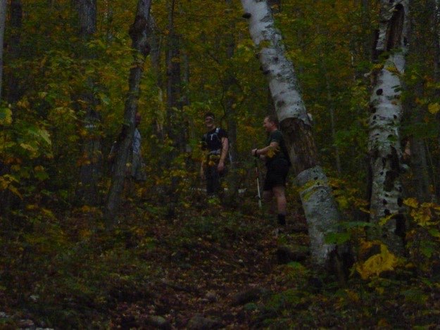
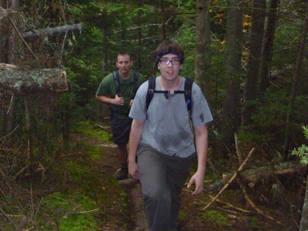
A flash-enhanced picture of me, Dave and Zach on the trail.
After climbing for some time, we come to a treed-in lookout to the left. This looks north at Noonmark Mountain.
The bright yellow trees are the lower shoulder of Bear Den mountain.
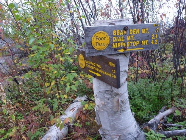
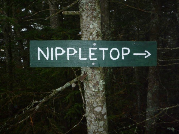
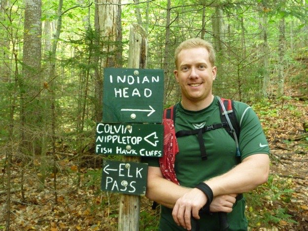
The best navigational signage anywhere in the 46 high peaks. Notice what they did to the “P”s? That bit of immature humor really helped out, while it was raining and we were in the cold clouds...
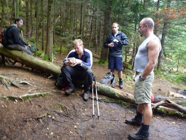
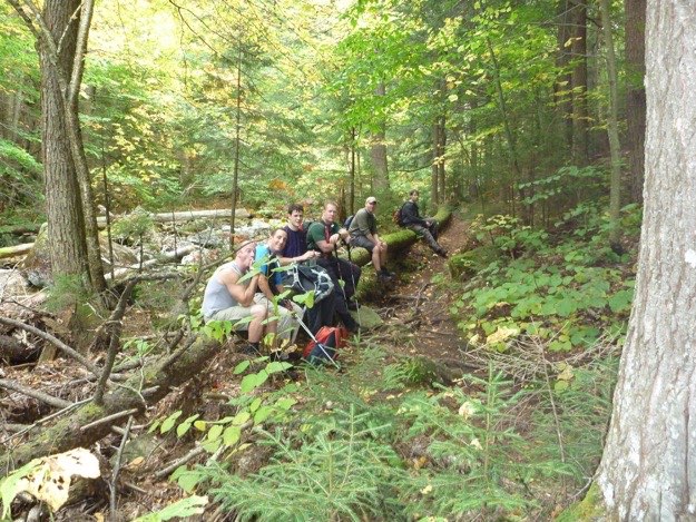
Taking a quick break in the rain, before pressing on to Nippletop. We don’t take too long a break, lest we get cold.
The summit is the top of this mysterious-looking hump. This might in fact be the top of the Nipple!
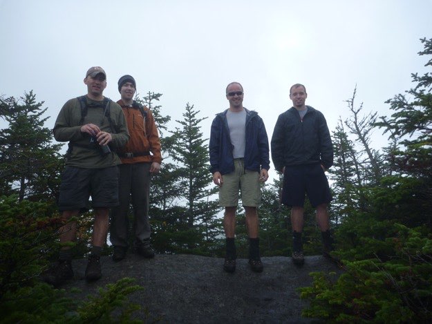
Dave, Zach, Jim and Jonathan on the summit.
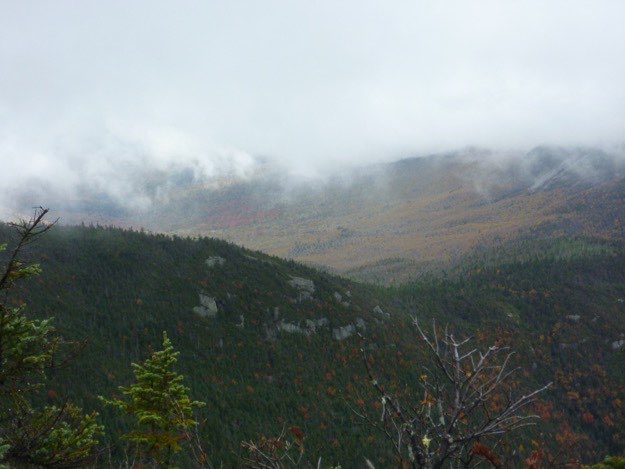
Heading back, we get a slight peak underneath the blanket of clouds.
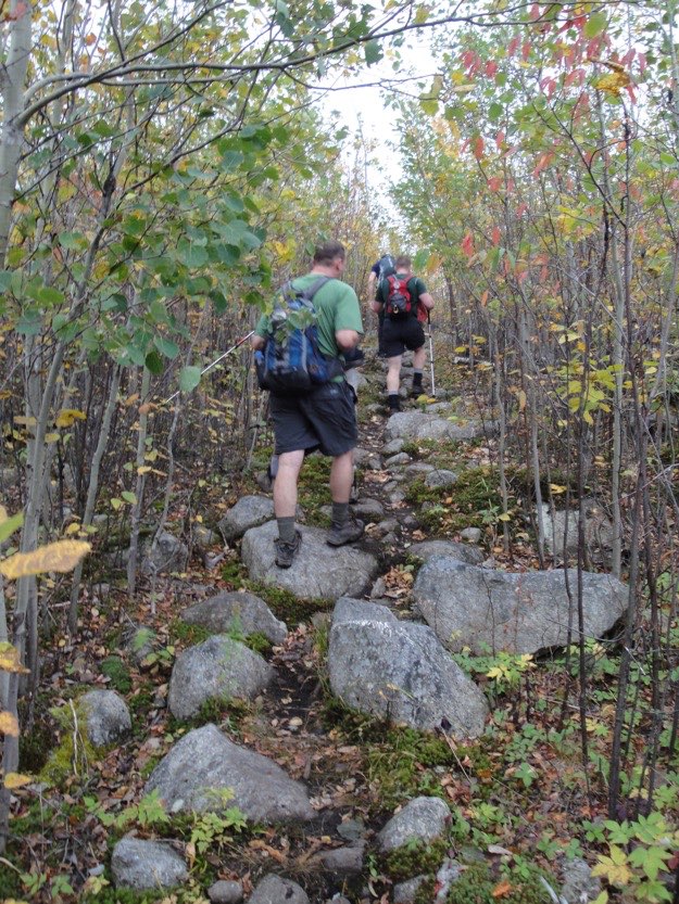
Now we’re heading down the blue trail, back to the cars, (eventually; there’s a long way to go still!)
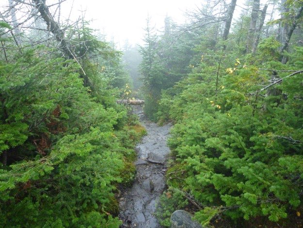
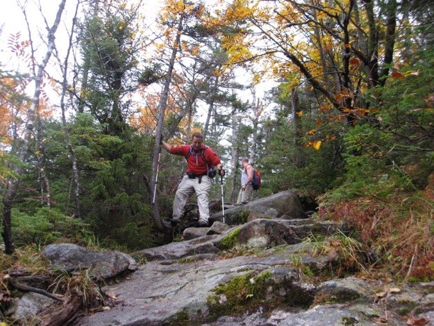
Yes, it is still raining as we descend down the slippery, leaf-covered rocks towards Elk Pass.
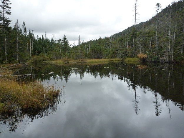
Elk Pass Lake.
Taking a break for some food at Elk Pass Lake.
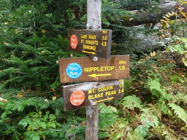
The sign at the intersection of the trail up Colvin and Blake. Only 4.9 miles to go!
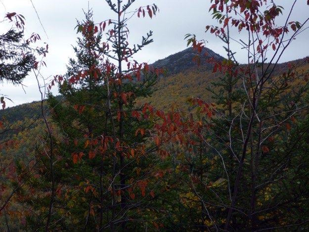
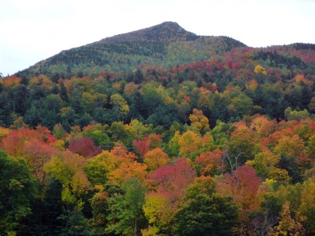
A slight view to the east, to a rock slide on the side of Dix Mountain.
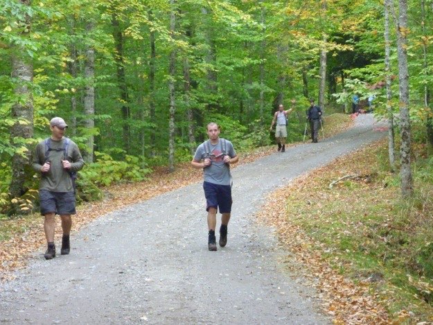
The first mile or so ascends gently along a road, taking you into the St. Hubert’s resort, past the golf course.
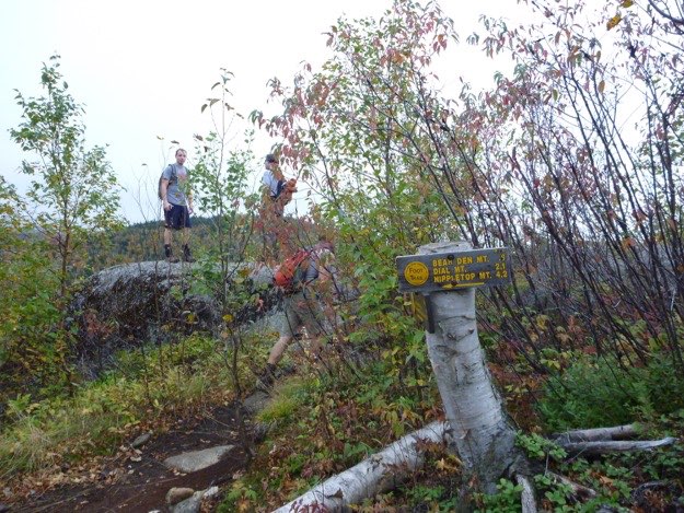
So according to the sign, we’ve gone 3 miles so far. It’s 0.9 mile to Bear Den’s summit, 2.1 to Dial’s summit, and 4.2 to Nippletop’s summit.
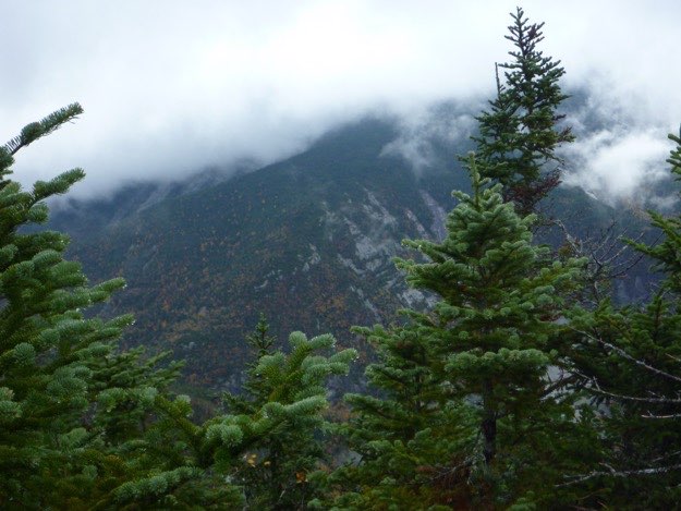
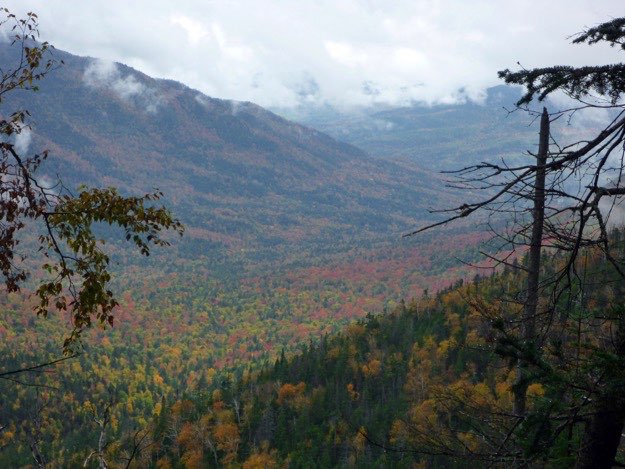
Our first vista of the day, and it reveals that there’s a cloud ceiling hovering around 4000 feet, which means we will not have a view from the top today, bummer!
Andy stands proudly in front of our next milestone, Bear Den mountain.
Time to leave now; much more hiking to do.
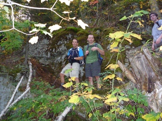
On the way up Bear Den, we stop for a quick break.
Dave and Zach reach the summit of Bear Den
A quick break atop Bear Den’s treed-in summit.
1.3 miles to Dial, 3.4 miles to Nippletop.
We’ve traveled 3.8 miles so far.
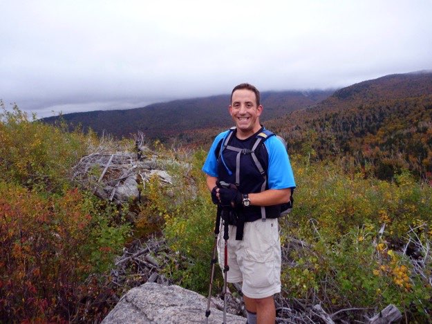
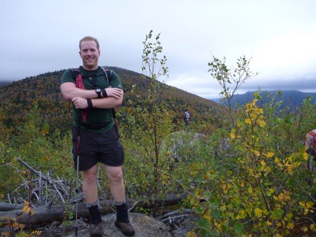
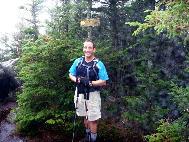
Here I am on top of our first official high peak of the day,
Dial mountain. By the way, it is raining. And cold.
And we have no view.
We’ve gone 4.7 miles so far.
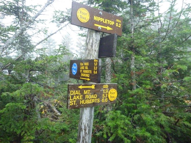
We finally arrive at the turn. Go to the right 0.2 miles to the summit of Nippletop. Behind us is the blue trail down to Elk Pass and Lake Road, the route we’ll be taking back to the cars. So far, we’ve gone 6.4 miles.
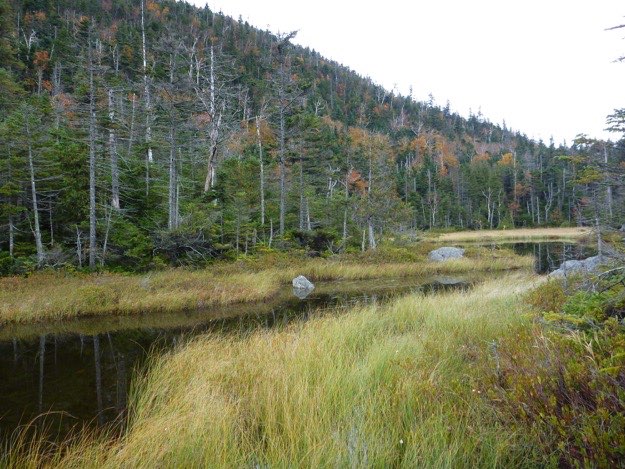
We get a view of the shoulder of Mt. Colvin. In front of that is Elk Pass.
Elk Pass Lake, again, with the shoulder of nearby Colvin mountain heading up off to the left.
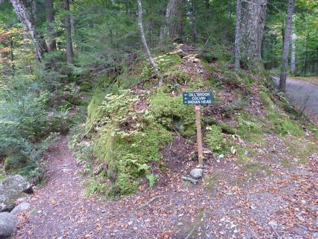
We’re back on AMR land, (Adirondack Mountain Reserve). How can you tell? The green signs, of course!
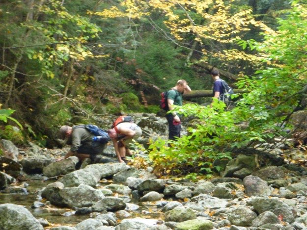
Much of the trail follows Gill Brook, which the guys cool off in here.
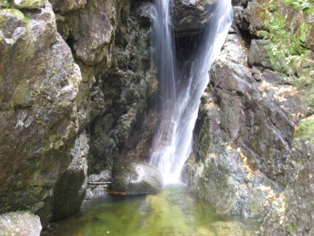
A nice waterfall and pool in Gill Brook.
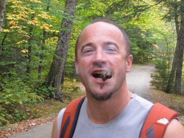
Knowing Lake Road is just ahead, Jim goes ahead and lights his victory cigar.
We finally reach the road! We came from the left trail. The road is on the right.
Jim shows of his victory cigar upon finally reaching Lake Road.
Heading north, down easy Lake Road, with Gill Brook to our right.
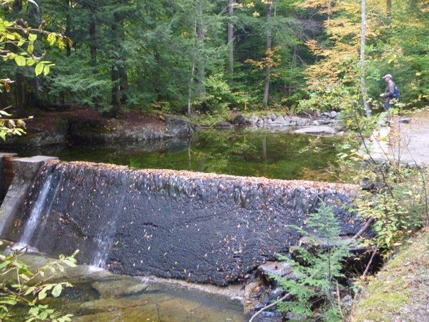
Dave observes a dam in the brook.
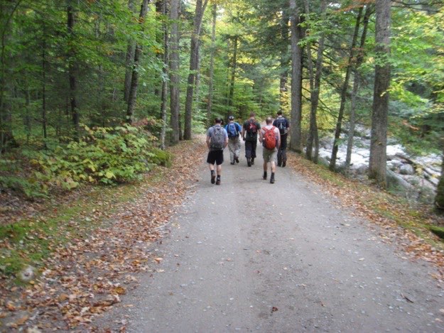
The guys heading back to St. Huberts. The road makes the return trip quite easy. We can go on auto-pilot, and enjoy conversations about our journey.
Back to the mysterious elvish gate; (a little less mysterious during the daytime)...
Noonmark Mountain from St. Huberts road.
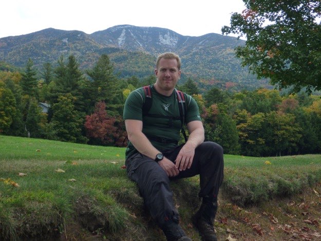
Andy sits on the edge of one of the golf fairways, with Giant Mountain behind him to the north.
A zoomed-in view of Giant.