Dix

When my niece Sam and her boyfriend Noah, who are huge fans of bouldering and climbing, asked to be introduced to the world of backpacking in the Adirondack high peaks, I excitedly began planning.
I wanted to do one of the high peaks with a great view, but perhaps from a different approach I’ve never done before, so it would be new for me, as well. I also wanted a trailhead that wouldn’t be too hard to find a parking spot, because too often these days, all the major trailheads are jam-packed, and I’m really getting tired of fighting the crowds.
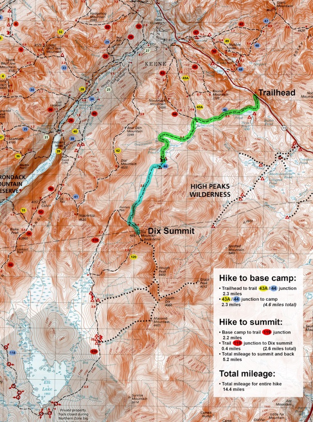
When studying my map of the high peaks, I found the perfect hike, leaving from a trailhead on Rt. 73 to Dix, that would do nicely. So we planned on leaving from the Round Pond trailhead, and hiking along the North fork of the Boquet River, to the campsites about two-thirds of the way.
Dix is 6th highest in NY, at 4857 ft.
So, we made our way to the trailhead, and miraculously, found one free parking space—like it was destiny or something... We divided the trip into 3 days:
DAY 1: Round Pond Trailhead to Boquet River Lean-To
• 4.6 miles
• 2 hours, 45 minutes
• 869 feet elevation gain
DAY 2
ASCENT: Boquet River Lean-To to Dix Summit
• 2.6 miles
• 2 hours 20 minutes
• 2399 feet elevation gain
DESCENT: Dix Summit to Boquet River Lean-To
• 2.6 miles
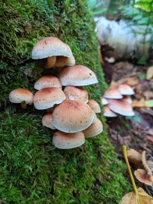
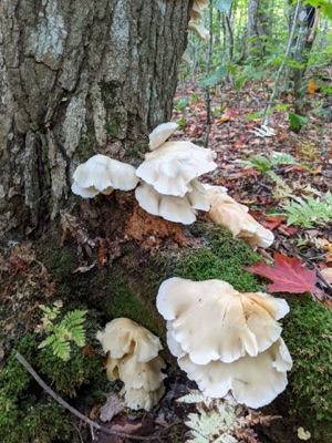
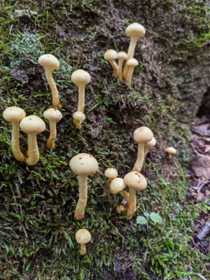
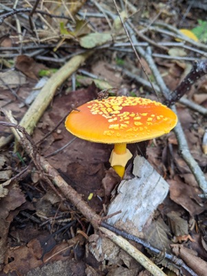
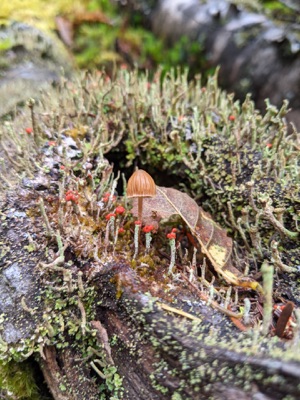
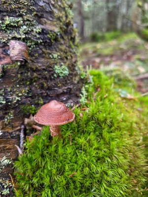
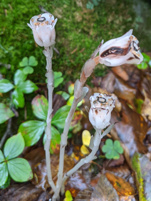
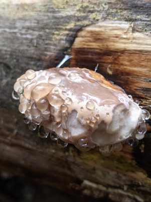
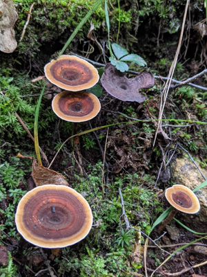
• 2 hours 40 minutes (more stopping to photograph fungi, and a relaxed pace)
• 2399 feet elevation loss
DAY 3: Boquet River Lean-To to Round Pond Trailhead
• 4.6 miles
• 2 hours 34 minutes
• 869 feet elevation loss
September 2021
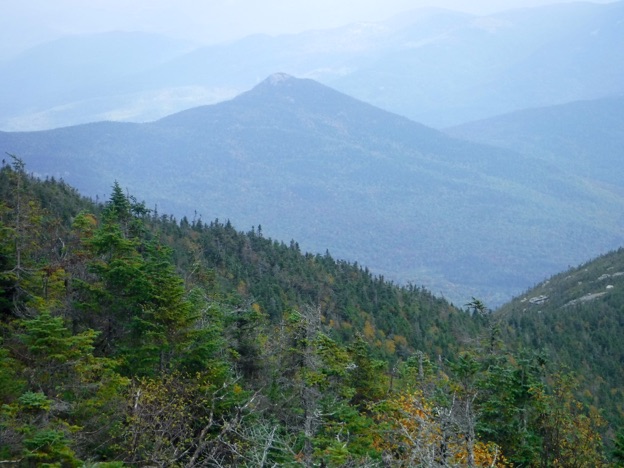
Dix Mountain, as seen from the summit of Hough Peak.
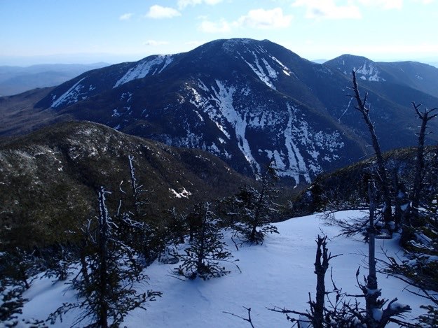
Dix as seen from Nippletop (in the winter)
DAY 1 – hike in to camp — 2 hours, 45 minutes —
4.6 miles — 869 ft. elevation gain
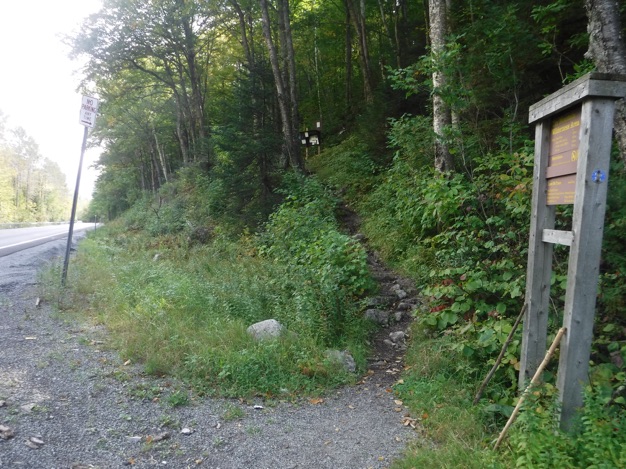
IMPORTANT NOTE: This trail that heads into the woods at the parking lot is NOT the trail!
Yes, we made the mistake of messing around in these woods for a few minutes, at the base of a steep embankment searching for the blue trail markers, and wasting time and effort.
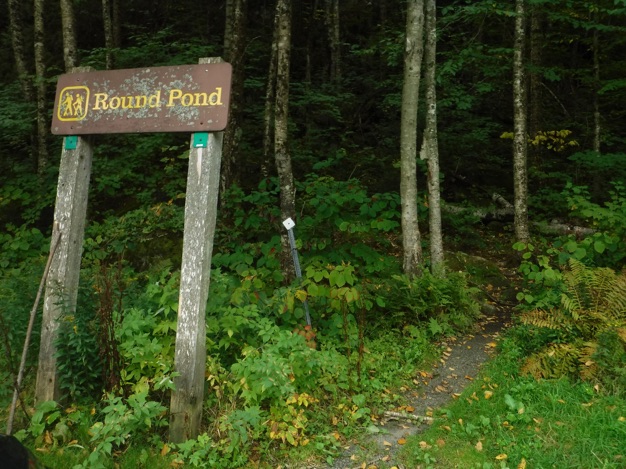
The actual trail starts by heading southeast along the shoulder of Rt. 73 for 300 feet, at which point, the trail becomes visible with a sign and a sign-in kiosk up a bit further. Read on to see what I mean...
After wasting time in the woods by the parking lot, we finally figured out the trailhead starts further down the road. Looking up past this sign by the road, you can see the trail leads up the hill, to the sign-in kiosk, and beyond.
DAY 2, ASCENT — 2 hours, 21 minutes — 2.3 miles,
— 2399 ft. gain
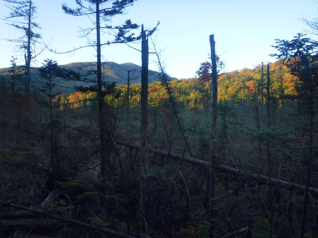
The steep ascent continues up through the woods, but the woods are noticeably thinning out, the higher we get.
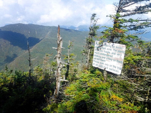
We enter the arctic alpine plant zone.
The trail leads us ever-closer to the top...
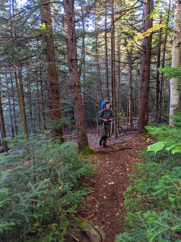
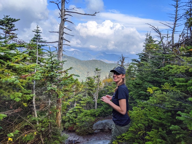
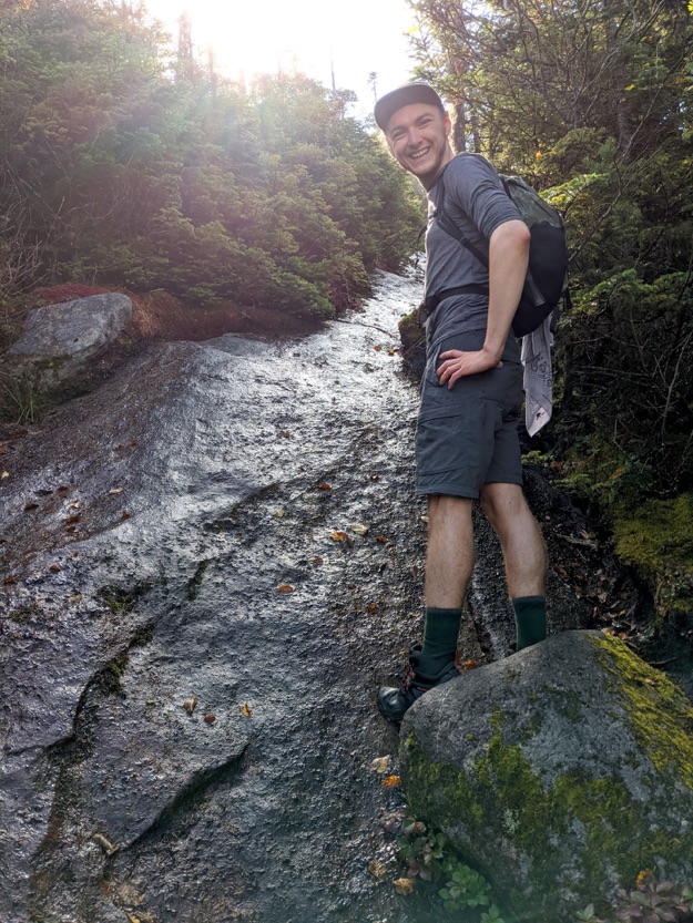
Sam in a great mood on our long hike out the next morning.
I take one last look on the amazing scenery.
Thanks for viewing. See you next hiking trip, folks.
Topographic map courtesy of the ADK
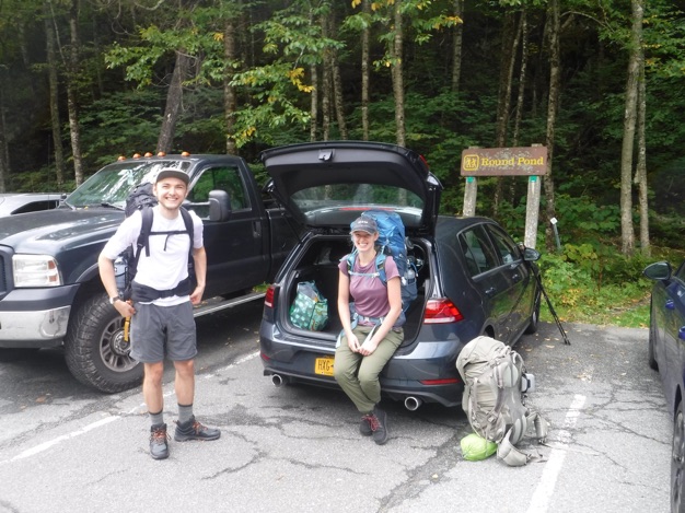
Noah and Sam ready to begin their first 46er adventure!
NOTE: THIS IS NOT THE TRAIL!!!

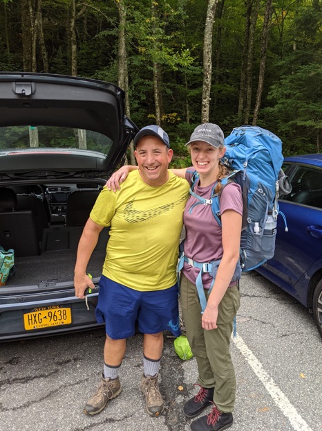
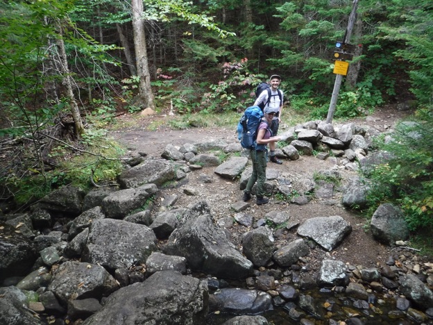
Sam and I at the car, just before we depart.
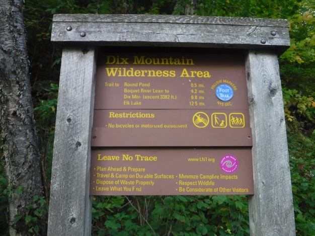
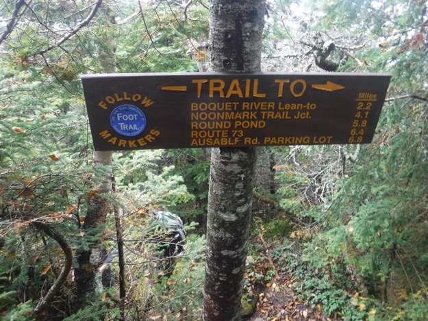
The sign with the mileage, (though the distances don’t match my most recent ADK map exactly).
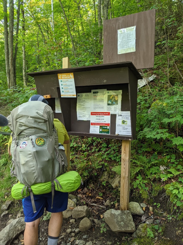
The sign-in kiosk. It’s official; we’re in the book, and ready to begin.
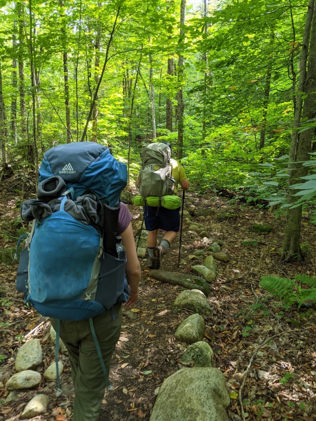
I lead as we make our way towards Round Pond.
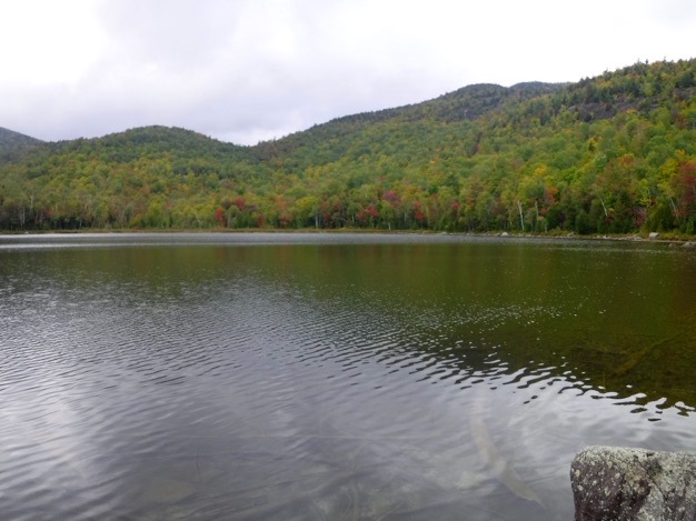
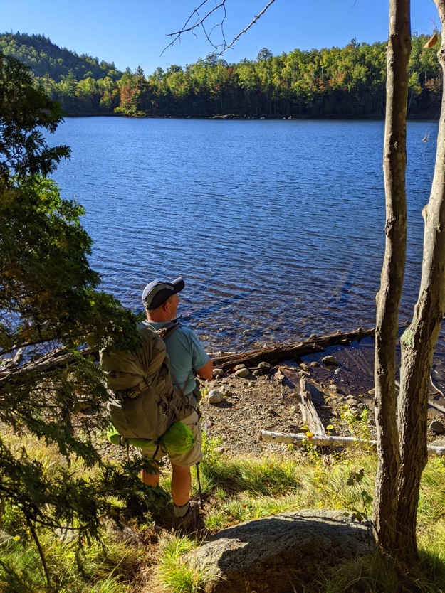
The crystal-clear waters of scenic Round Pond.
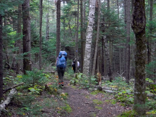
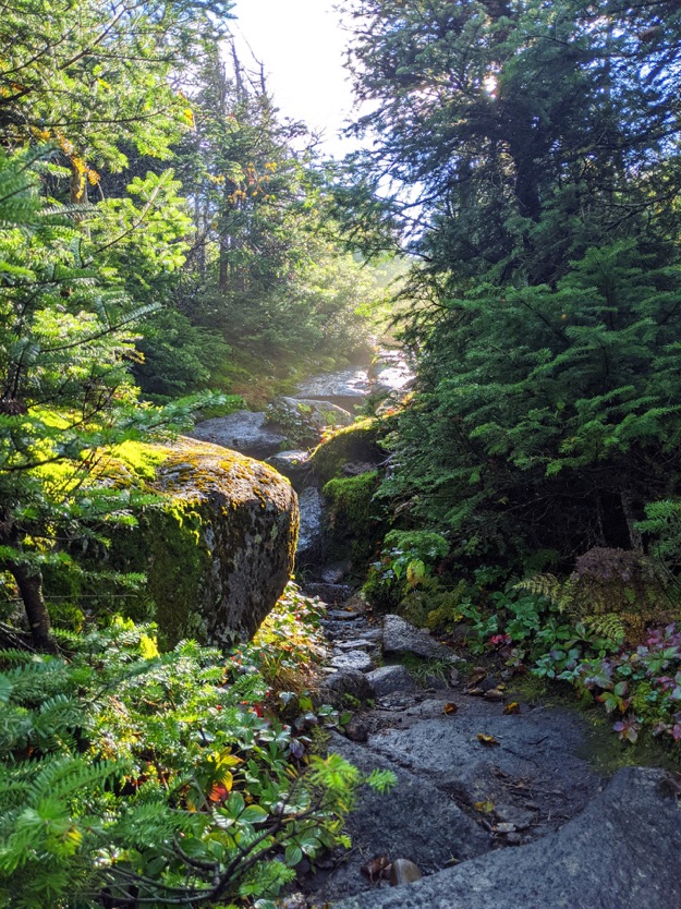
Hiking through a lovely forest.
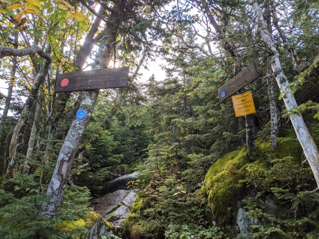
We arrive at the intersection of the yellow trail 43A that heads to Round Mountain, the red trail 44 that heads to Noonmark Mountain, but we stay on the blue trail 46 that heads to Dix.
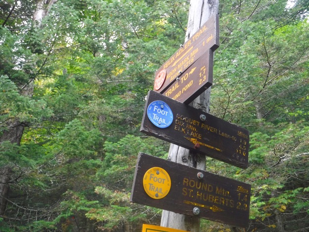
Zoom in on the signs.
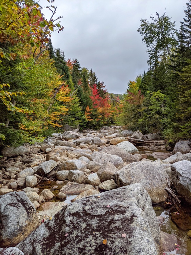
Crossing the Gravestone Brook.
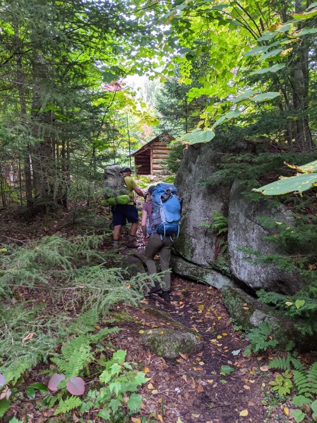
We arrive at the Boquet River lean-to!
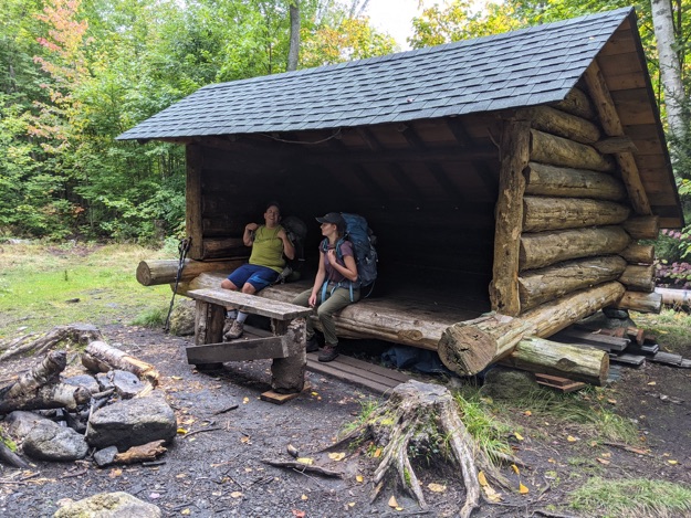
It feels so good to take our heavy packs off when we sit down in the lean-to. After this, we filter water in the river nearby, make dinner, hide our bear canisters, then have a nice campfire, (which is absolutely allowed in the Dix Mountain Wilderness, where we are located, unlike the Eastern High Peaks region).
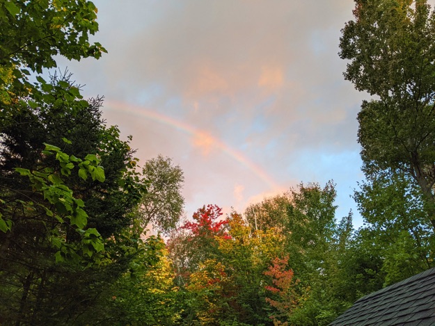
A nice, friendly rainbow appears to the west as we prepare to leave the lean-to for our day hike up Dix. We depart at 8:12 AM.
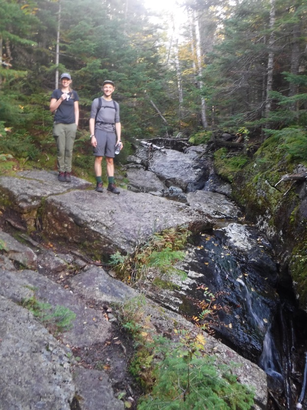
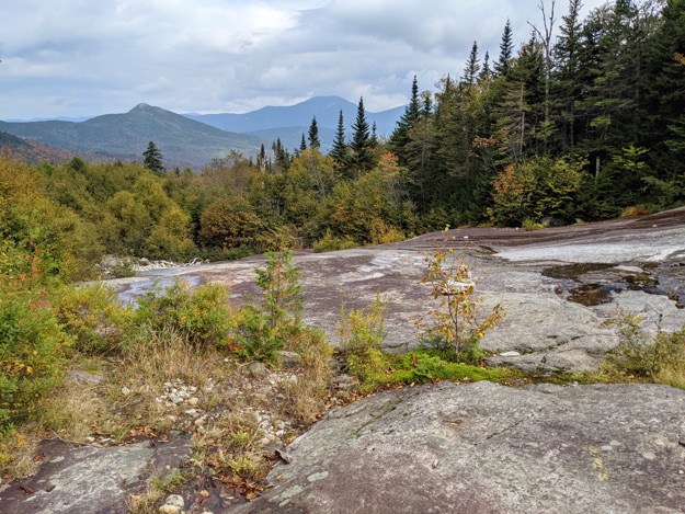
Sam and Noah pose near an interesting chute. (Apologies for the blurriness).
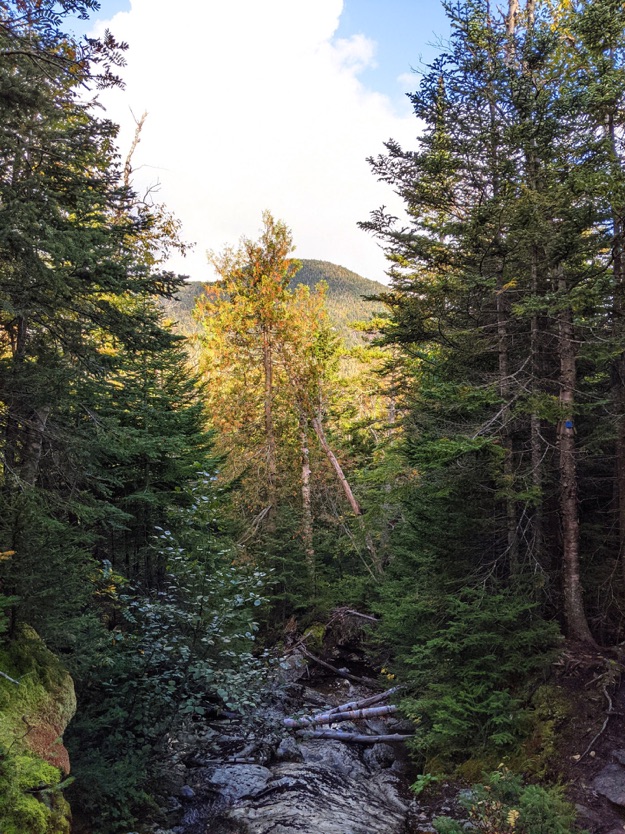
The higher we get, the more and more of mighty Dix is getting revealed, and we realize just how much more elevation we have ahead of us.
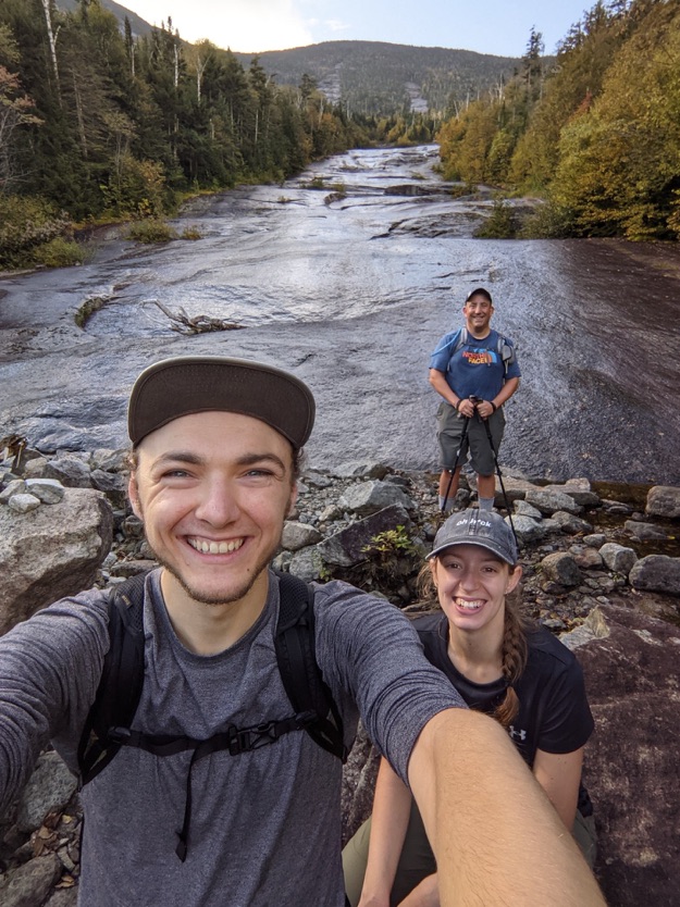
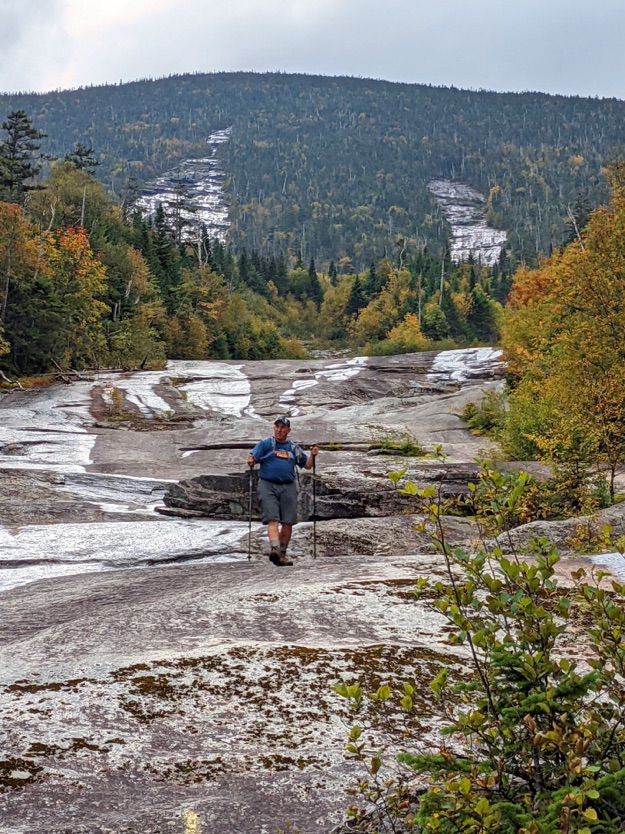
Noah takes a “group selfie” as we pose at the base of an exposed slide, one of the many long scars on the mountain. It is much steeper than this picture implies!
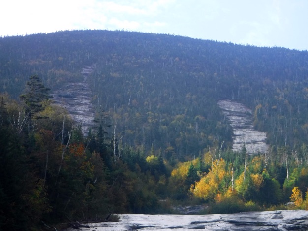
Zooming in, this slide goes a long way up the mountain, and splits in several places near the top.
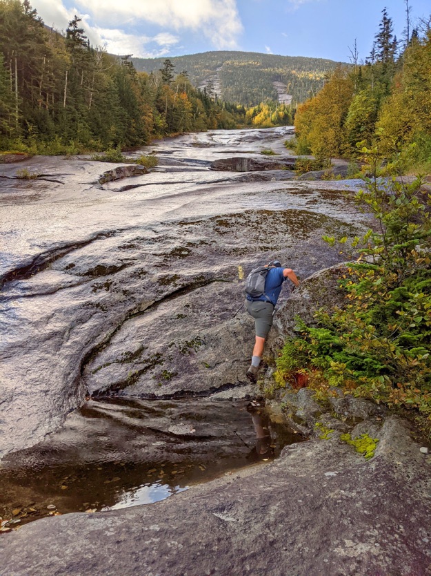
We take care on the wet, slimy, algae-covered slabs.
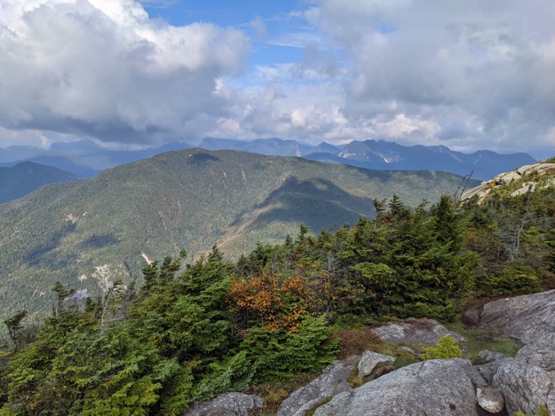
Sam looks back down the slide to take a picture. Noonmark mountain is in the center of the wonderful view. To the right of Noonmark is the darker, hulking mass of Giant mountain where the summit is covered by a thick bank of clouds.
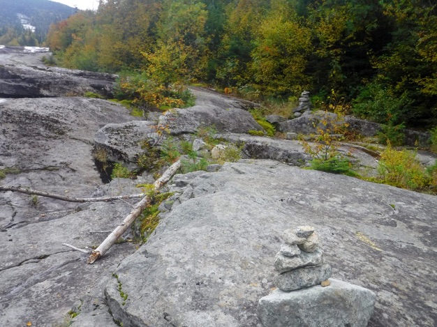
Our fun trip up the slide ends pretty quickly, as we notice the stack rock cairns leading us over to the right side as you look up the slide, back into the woods.
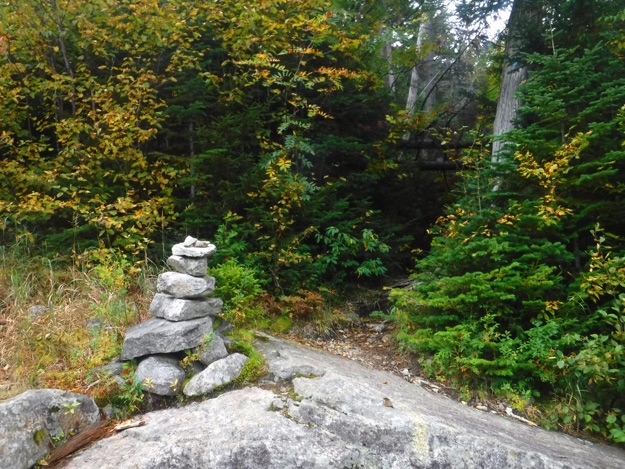
The last cairn at the edge of the woods. You can see the blue trail marker on the tree to the right.
Blue trail marker

Trail

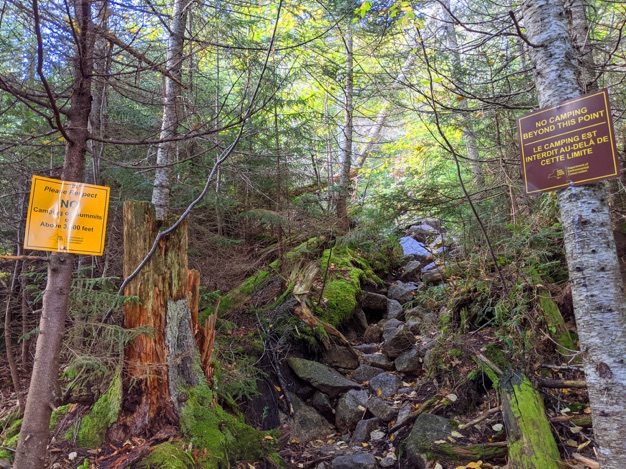
As the trail goes parallel to the slide, it gets very steep. Studying the topographic map, you’ll see lots of lines in this area... and we soon get above 3,500 feet of elevation, where camping is prohibited.
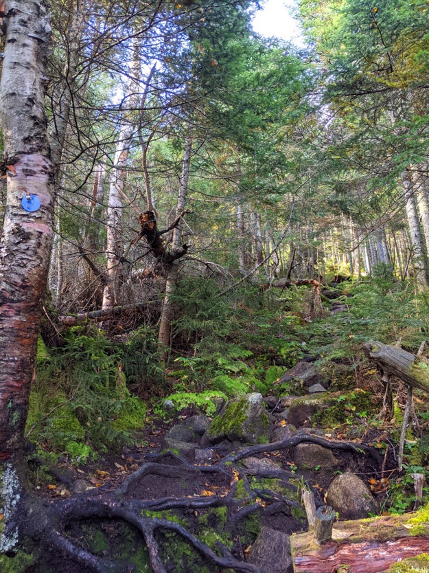
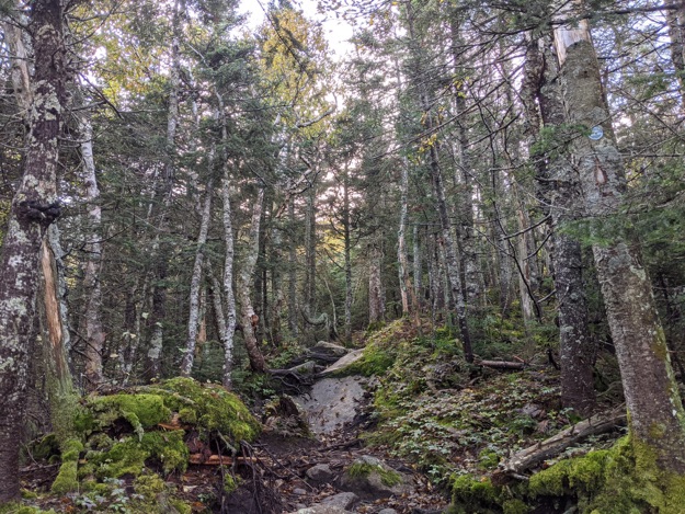
Mossy trail and trees all around.
We reach the final trail intersection, and continue along the blue trail that turns left and heads up to Dix’s summit.
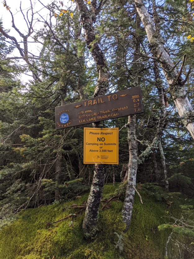
Only 0.4 miles to get to the summit of Dix!
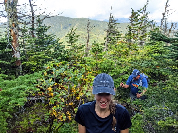
Noah captures Sam and I making our way through the narrow Krummholz; the stunted-growth connifer trees near the summit of most of these Adirondack high peaks.
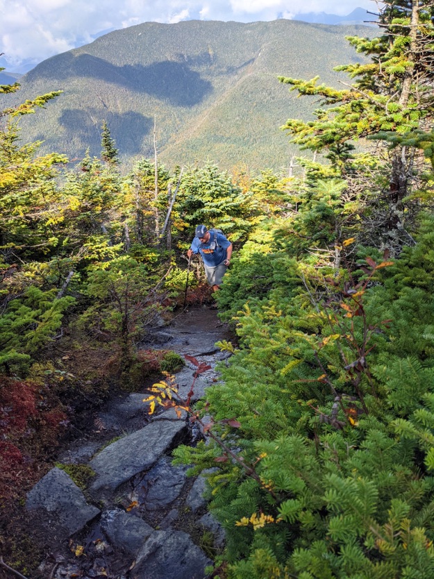
Noah takes a break on his way up the slick, steep slab.
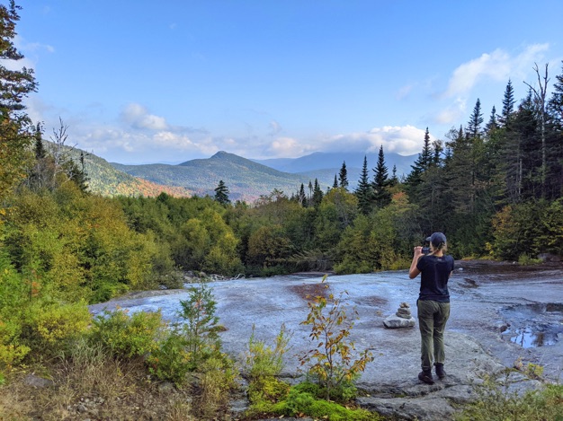
Sam marvels at the views being revealed as we climb higher and closer to the top.
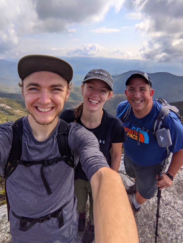
Another one of Noah’s great group selfies as we stand on the summit of Dix, triumphant and rejoicing.
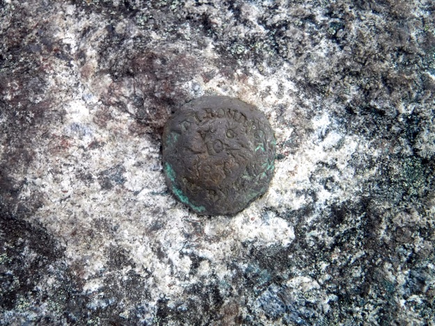
The summit marker, which has seen better days.
As I emerge from the trees that are getting smaller and shorter, the peak of Nippletop is behind in the background.
The obligatory boot shot at the summit marker.
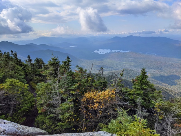
Looking south towards Elk Lake, with all the small islands it houses.
A zoomed-in view of Noonmark mountain from the summit of Dix.
Nippletop, with the Great Range stretching from left to right in the blue shadows of the clouds beyond.
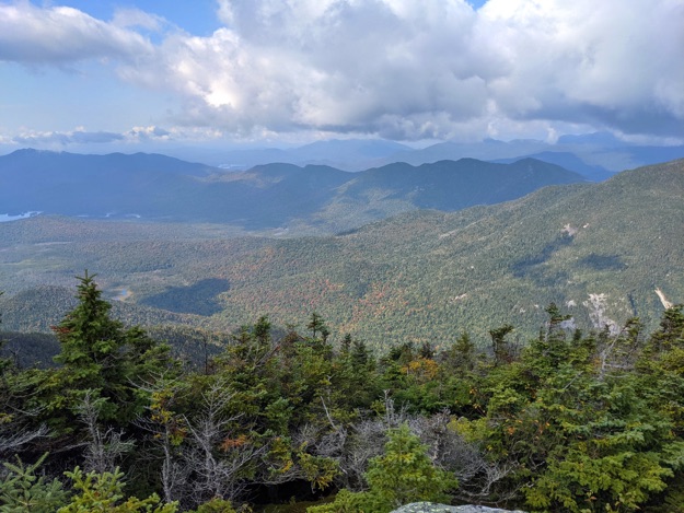
Looking past the southern slopes of Nippletop on the right side, you can see Blake Peak and the dark Pinnacle ridge extending to the south.
DAY 2, DESCENT — 2 hours, 40 minutes — 2.3 miles,
— 2399 ft. loss
Back at the trail intersection that is 0.4 miles south of the summit, on our way down. Our lean-to is 2.2 miles away at this point in the hike.
Back out onto the open slide, we can see angular Noonmark on the left, with Giant in the middle by the spires of the pine trees.
Sam captures me as I carefully descend the slide.
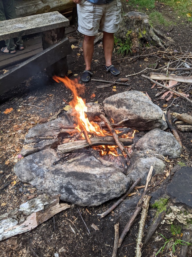
And suddenly, we’re back at camp, cleaned up, and changed! And there’s a nice warming campfire, too! Sweet!
DAY 3 — 2 hours, 35 minutes — 4.6 miles,
— 869 ft. loss


Open slide
It’s a gorgeous morning to be in the Adirondacks.
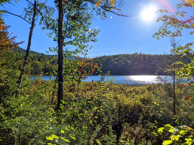
The sun is exceedingly bright, as it reflects off Round Pond.
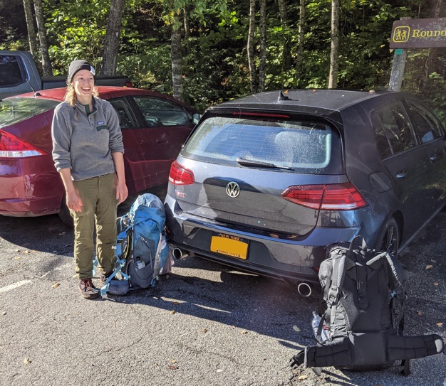
Sam rejoices as she takes her pack off back at the car. Job well-done, everyone!
The end...
...or is it?
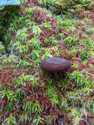
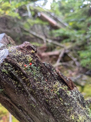
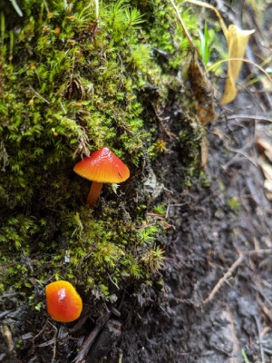
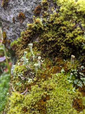
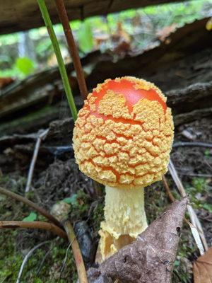
And now, for your viewing pleasure, a gallery
of unique and fun fungi and assorted mosses,
courtesy of all-around FUN GUY, Noah!
(wacka-wacka-wacka)