Giant, Rocky Peak Ridge

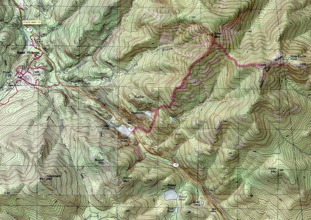
Topographic map courtesy of National Geographic
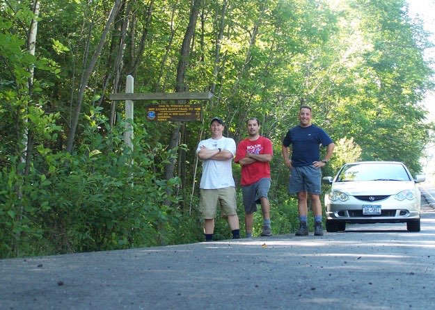
TRAILHEAD

August 2005
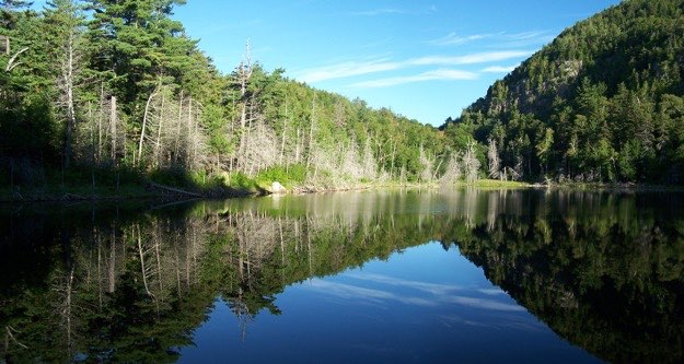
Giant’s washbowl – a quiet, secluded pond set into the shoulder of the mountain. There are some really nice campsites situated around this pond.

GIANT Mtn.
SUMMIT

Giant is just that; giant, and looks more so because its neighbors are quite a bit shorter. It is a very rewarding climb, offering many great views from not only the top, but all along the trail. It is also a unique trail, providing lots of variety, as you’ll see...
Leaving from the trailhead on Rt. 73, just south of St. Huberts, we proceeded up the Chapel Pond trail, and I mean up! No warm-up here; it’s just straight uphill huffin’ & puffin’. We camped at the tent sites adjacent to the scenic Giant Washbowl, a secluded little pond in the side of the mountain. This being outside the official high peaks area, we were able to have a campfire, which was a welcome departure from the norm. What a beautiful setting!
The next day, we ascended Giant, (12th at 4627 ft.), and then hiked over to Rocky Peak Ridge to the east, (20th at 4420 ft.). There is a nice open rock ridgeline going up Giant, allowing views back down the trail, towards Round, Noonmark and Bear Den mountains. The views are some of the nicest I’ve yet seen.
The hike between these two mountains was short but steep, and had us pretty winded. Giant was one of my favorite hikes thus far! It isn’t too difficult, as there isn’t much that your novice hiker couldn’t handle, except sheer incline.
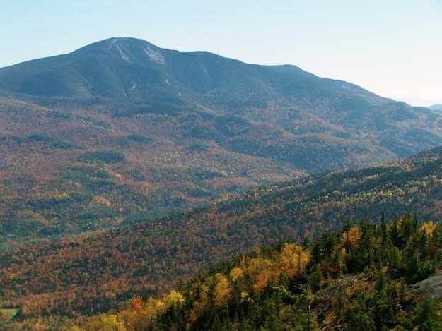
Giant Mountain as seen from Big Slide. Rocky Peak is also visible (barely) on the right side
ROCKY PEAK
SUMMIT
CAMPSITE

(Part of my Original 46er quest)
Back to the trailhead, ready for the long drive back home.
The end.
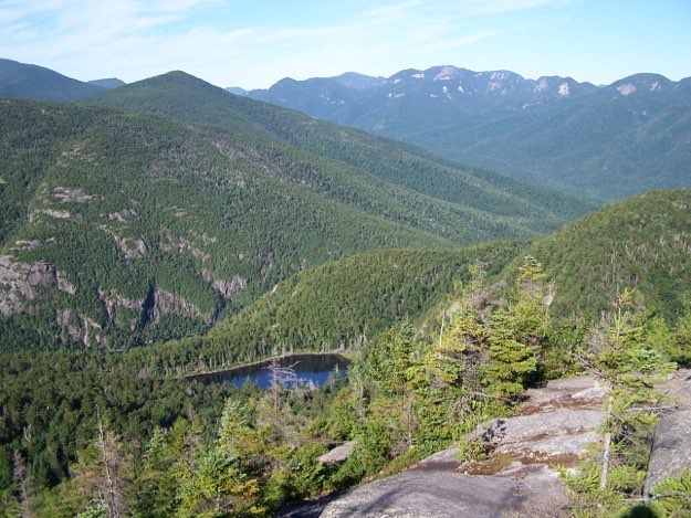
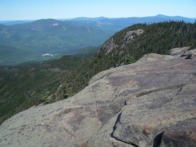
Soon after leaving our campsite, we emerge from the woods onto some bare rock. This is the view back towards Giant’s Washbowl, with Noonmark behind, and the Great Range in the distance along the right side.
This is the view looking back towards Round Mountain’s cliffs. The tallest peak in the center is Dix, with Hough and South Dix to the left. The peak on the right is Nippletop. I’ve always loved that cloud formation in this photo...
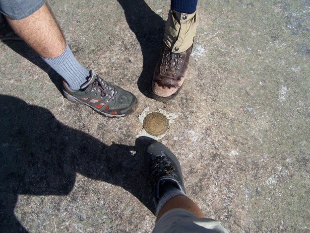
Our first obligatory boot shot of a summit marker!
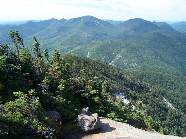
From Giant’s Summit (from left to right), Grace Peak, South Dix, Hough, Dix, Nippletop and Colvin
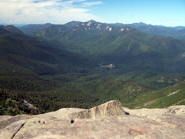
From Giant’s Summit, the St. Hubert’s in the cloud-covered valley below, with the entire Great Range directly behind. What a view – one of my favorite views from the top yet...
From Giant’s Summit, looking westward. The sharp pointy summit of Whiteface can be seen to the far right
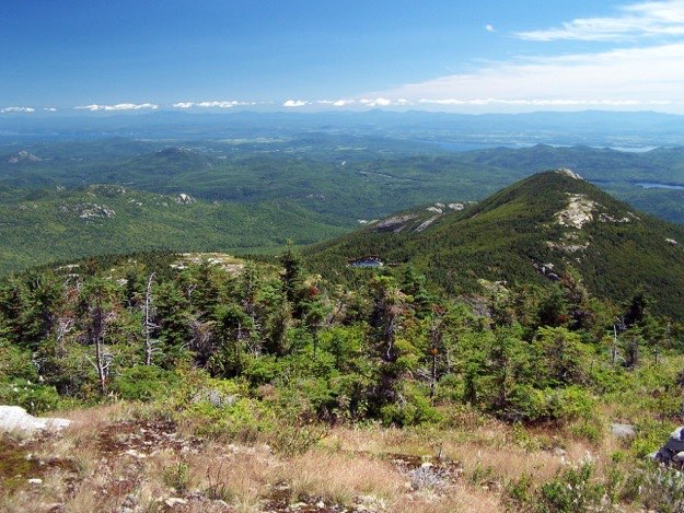
The view east from atop Rocky Peak Ridge. Lake Champlain is off in the distance, with Vermont’s Green Mountains on the horizon under the line of white clouds
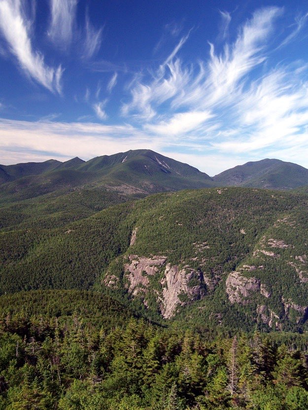
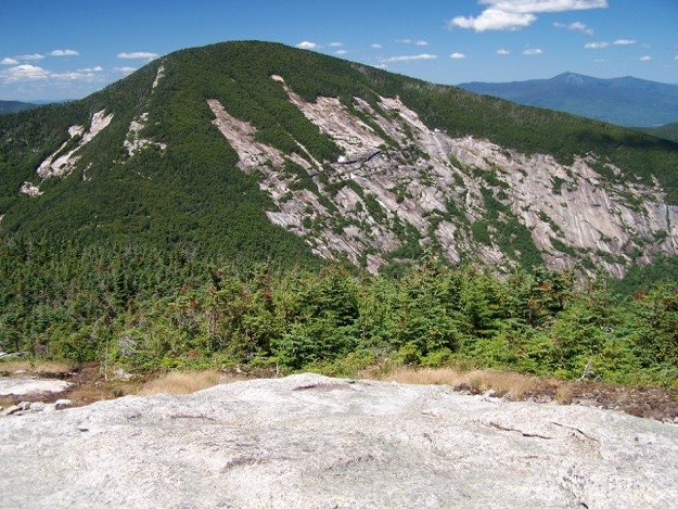
Looking back at Giant from Rocky Peak, you can see the pointy summit of Whiteface on the right side
Taking a break on the summit of Rocky Peak Ridge.
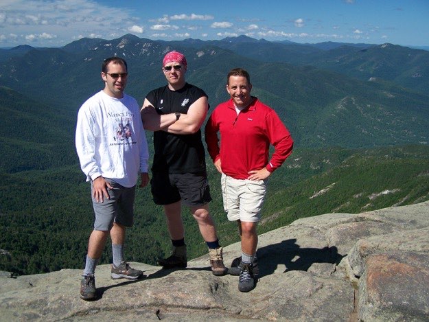
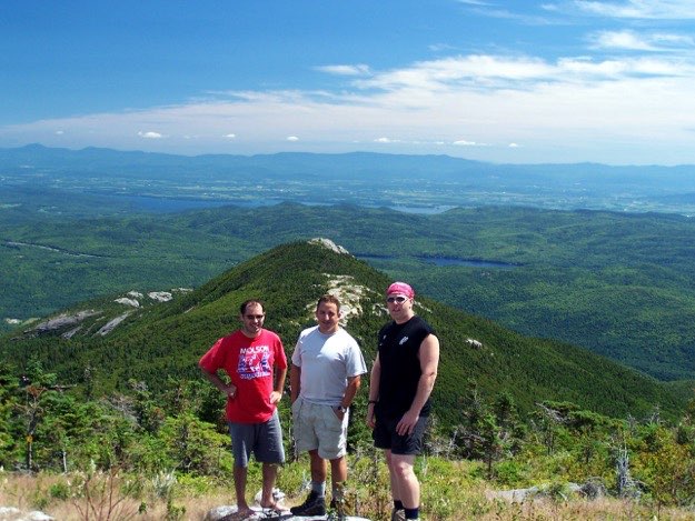
My cousin Mark, Andy and I atop the summit of Giant
On to Rocky Peak Ridge
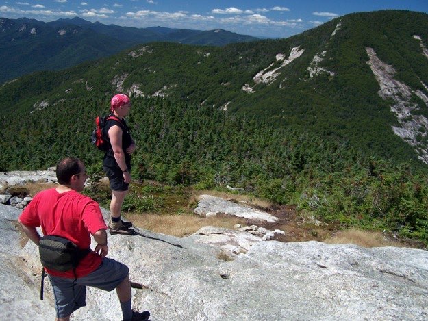
Andy and Mark discussing just how much hurt is coming, to get back up to the top of Giant, before we can then descend back down to the car... and yes; Mark is wearing a fanny pack. Let the severe taunting begin.