Haystack 2

My friend Tanner needed Haystack, Basin and Saddleback, so a few of us went with him for moral support. Since Haystack Mountain (3rd highest, at 4960 feet), was my very first high peak, and kind of clouded over the first time, I decided to tackle that one again, with my hiking buddy Andy.
Leaving from the busy “Garden” parking lot, we had a leisurely hike past the John’s Brook Lodge. We stayed at a campsite just southwest of the Lodge, where we made our base camp. More details below.
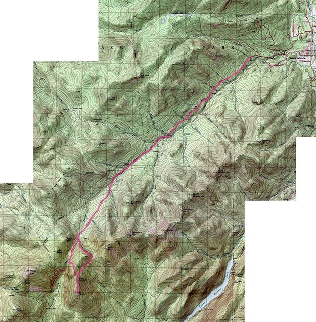
Topographic map courtesy of National Geographic
We reach the Johns Brook Lodge, and the main intersection of many, many trails.
TRAILHEAD
“The Garden”
HAYSTACK


July, 2016
Saddleback
Basin
Haystack
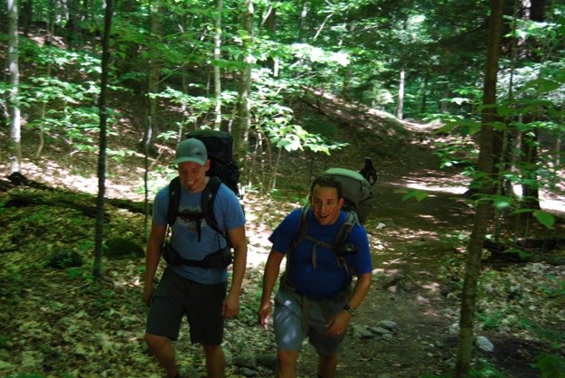
Jonathan and I discuss how nice it is to be hiking, instead of clicking a mouse on this great summer day.
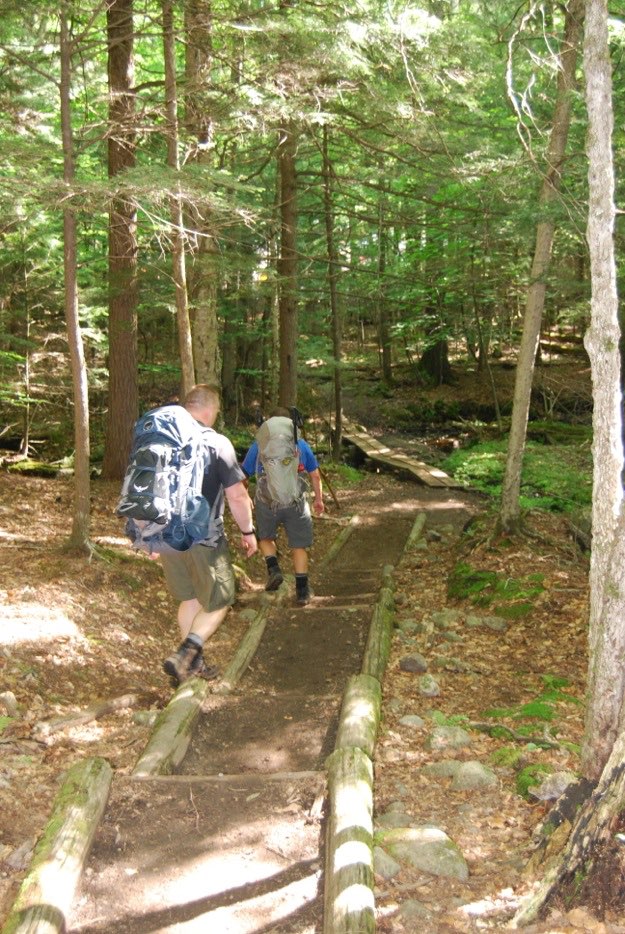
On the nice meandering forest path leaving the Garden.

CAMPSITE
Our first bit of incline to get the sweat-a-rollin’!
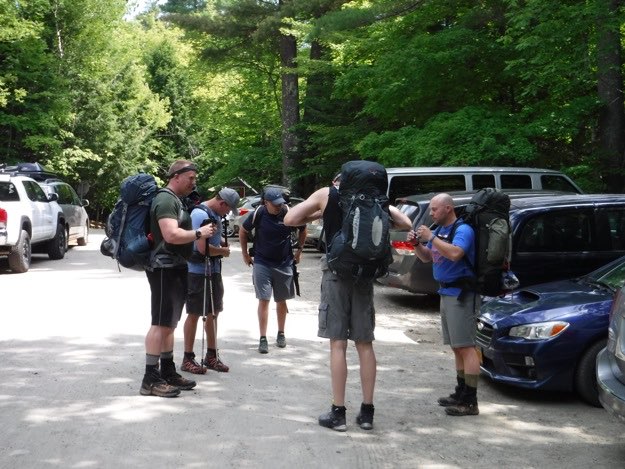
Getting ready at the Garden parking lot. Finding a parking spot here is very tough on a summer day!
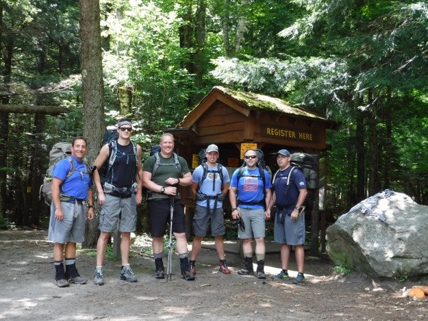
At the registration kiosk. From L to R: myself, Peter, Andy, Jonathan, Tanner and Mark.
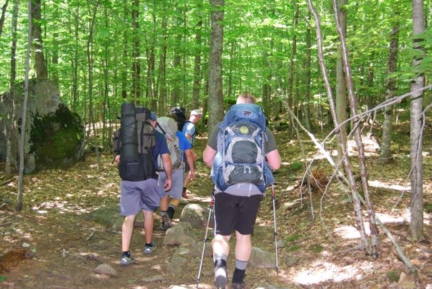
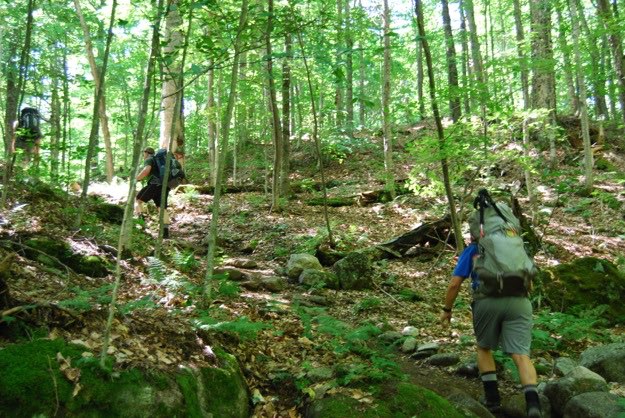
Getting used to our heavy pack sometimes takes us off trail just a bit...
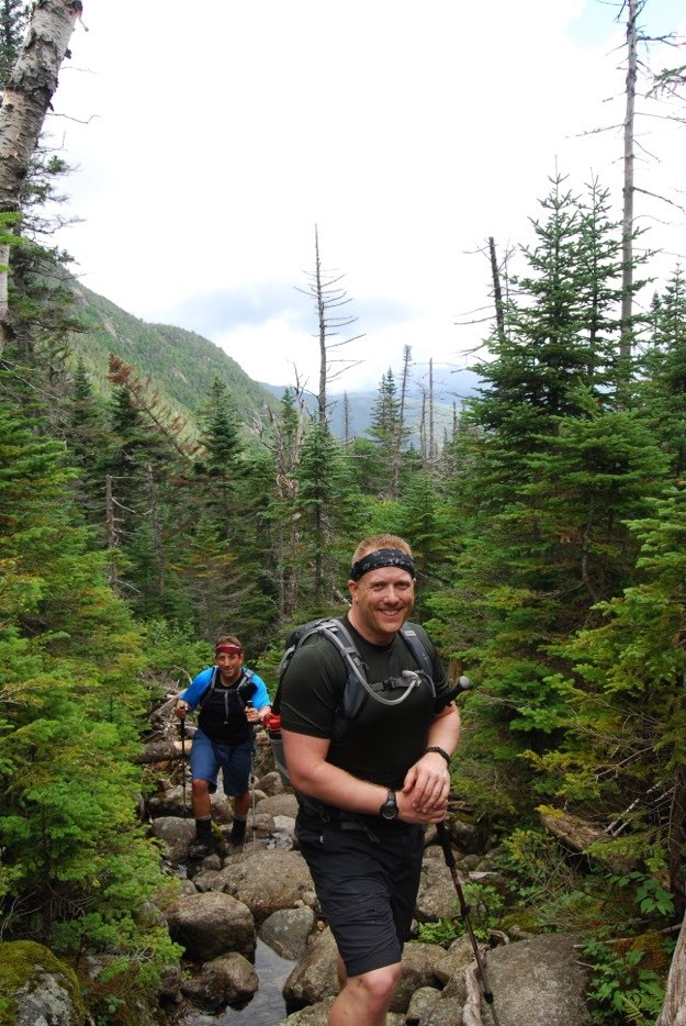
As we continue to climb, we start to get some views emerging from the forest.
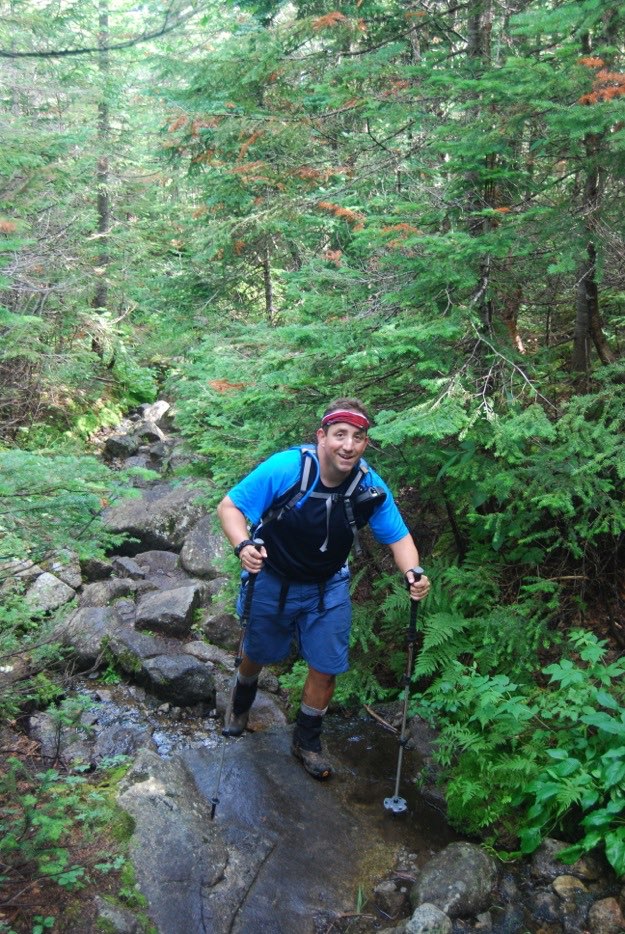
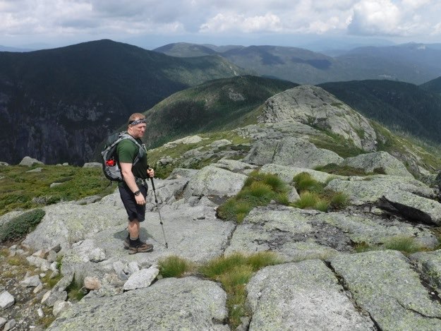
Starting to get steeper now, so out come the trekking poles. (Notice that winter basket on my left pole? Couldn’t find my other summer one, unfortunately, so I looked a bit strange, also because of that bandana headband thingy).
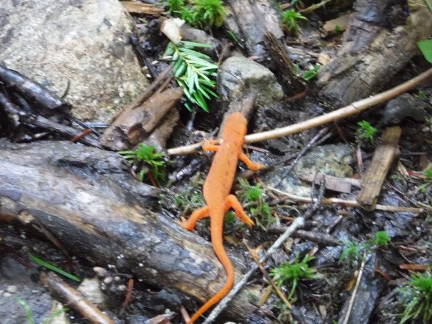
An orange newt on the trail. I took this to be a good omen...
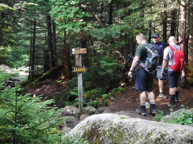
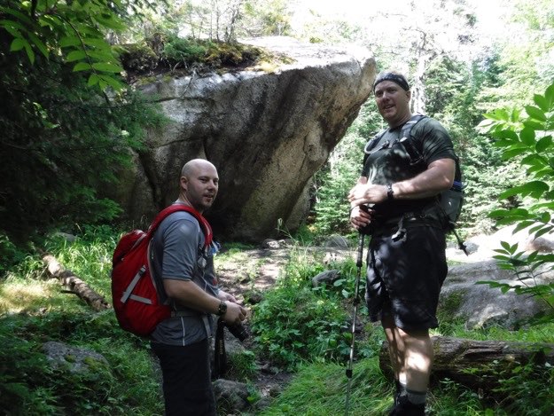
We take a break at a trail junction for the Hopkins Trail and Bushnell Falls. This is where we depart Mark, and he goes to check out the waterfall.
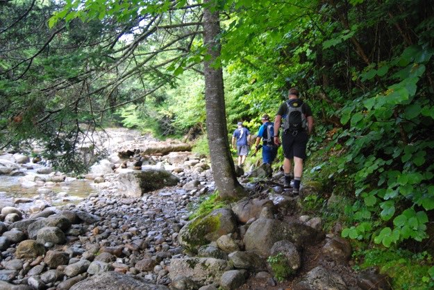
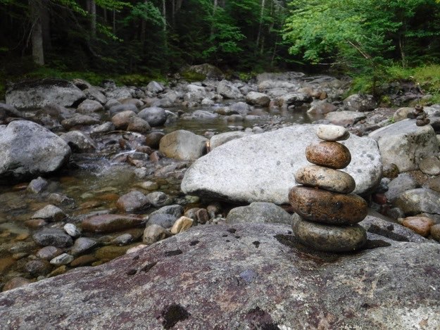
Following the trail, occasionally we’re dumped out onto the brook rocks. Luckily, there are cairns like these to help us stay on track.
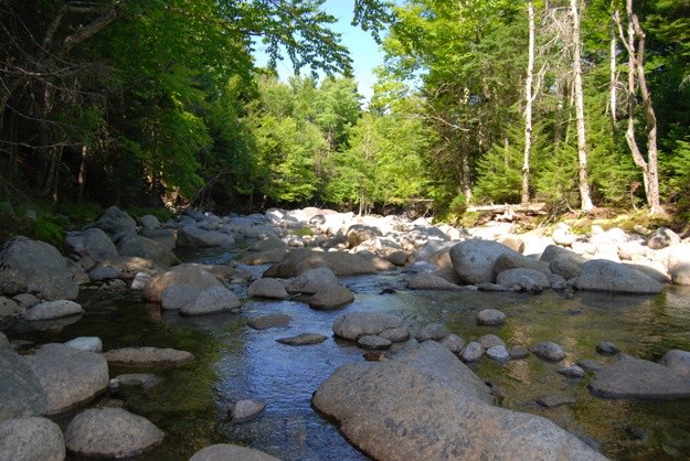
Johns Brook, in all its glory...
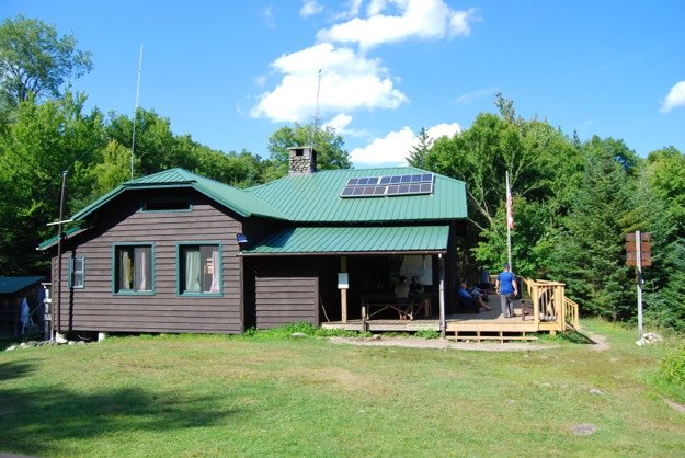
The Johns Brook Lodge, complete with excellent wooden deck, Adirondack chairs, (naturally), and potable water spigot on the side to refill all our Nalgene containers and water bladders.
Mark, myself and Andy are on the way towards Haystack. The trail goes parallel to Johns Brook.
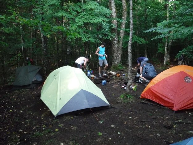
Setting up base camp at the tent sites south of the Johns Brook Lodge.
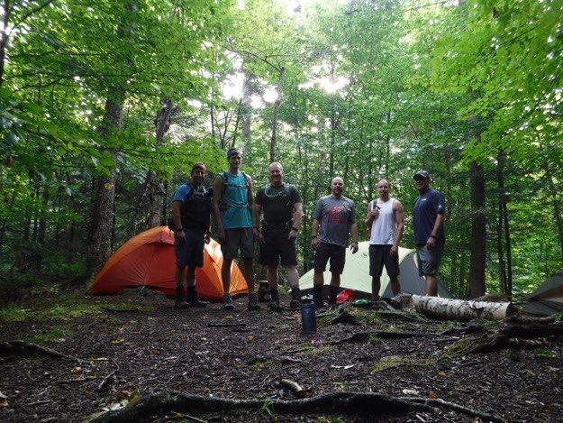
This is the next morning, as we all prepare for leaving for our respective hikes. Jonathan and Pete are doing Gothics, Armstrong, and the Wolfjaws. Tanner is doing Haystack Basin and Saddleback. Andy and I are doing just Haystack, and Mark is going with us to see Bushnell’s Falls.
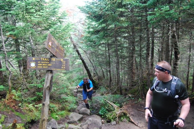
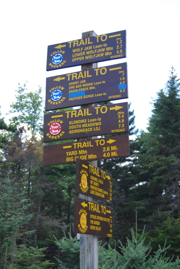
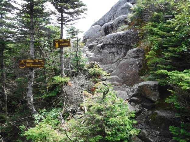
We reach an important milestone and intersection. This is where we could go to Mt. Marcy, or Haystack.
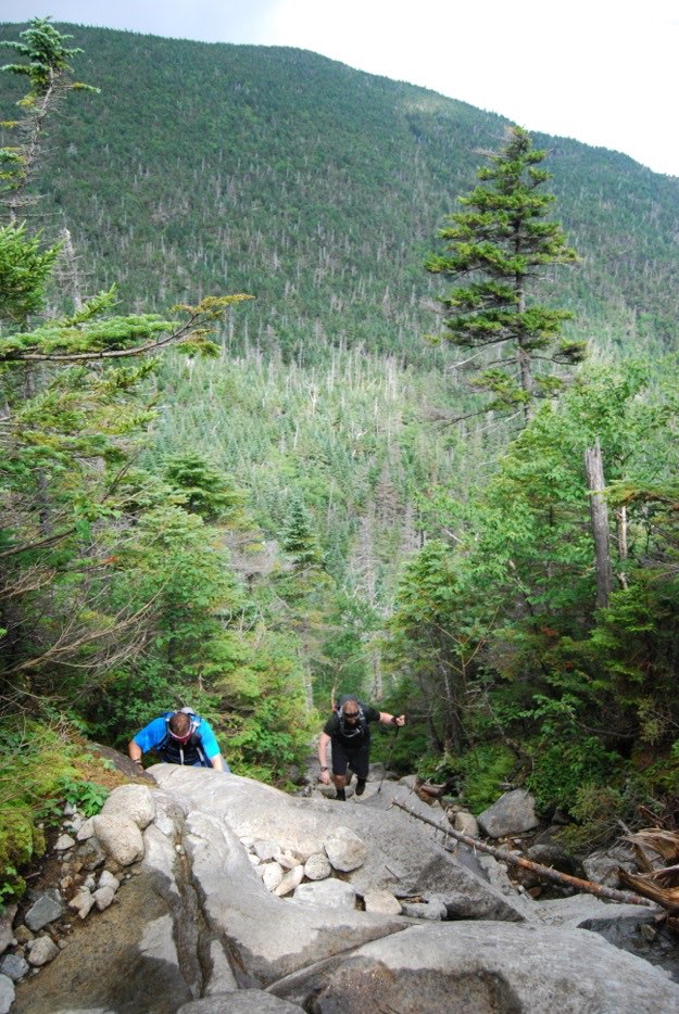
Now this is getting steep! We’re really sweating at this point.
Taking a break at a gigantic house-sized boulder.
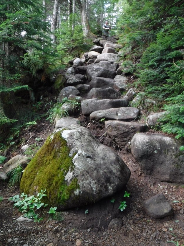
An amazing boulder staircase, built on the blood, sweat and tears of amazing volunteers; thanks everyone!
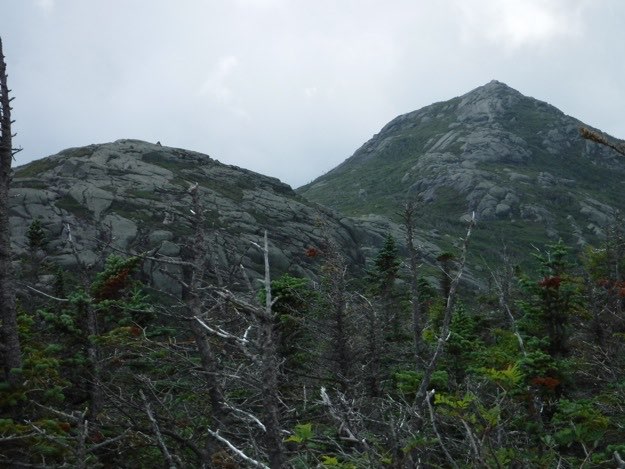
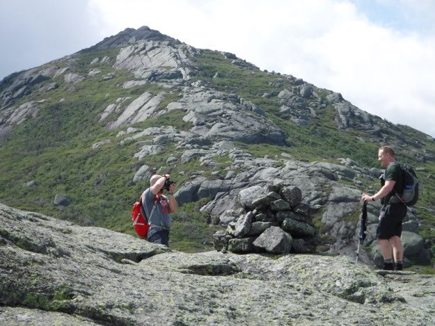
At a lookout, we can see our goal. First, we go up and over Little Haystack on the left, (notice the cairn), and then up to the top of Haystack on the right.
The intersection at the base of Little Haystack. We head straight, then up over Little Haystack.
Tanner takes Andy’s photo on top of Little Haystack, with Haystack looming in the distance.
We skirt around a big boulder with a cairn on it, on the way up Haystack.
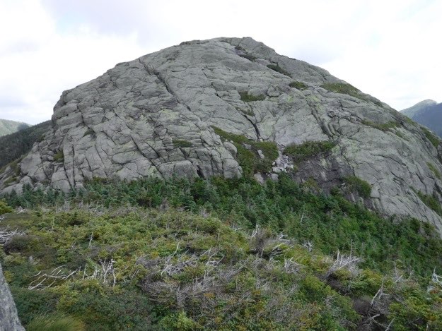
Looking back the way we came, we see Little Haystack.
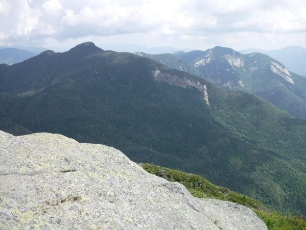
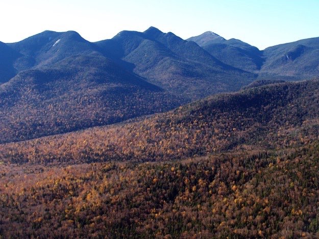
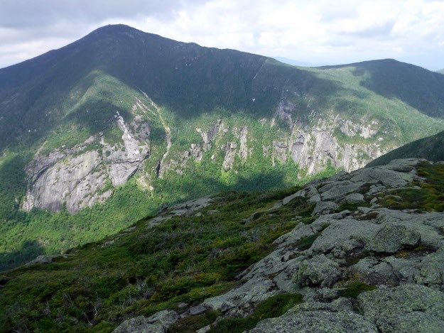
The view of dark Basin mountain, with Saddleback peeking out from behind. Further on is scarred Gothics and Pyramid Peak.
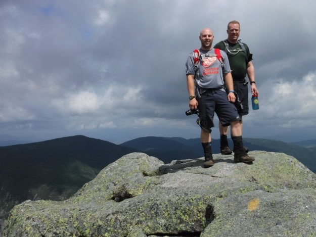
Tanner and Andy reach the summit first.
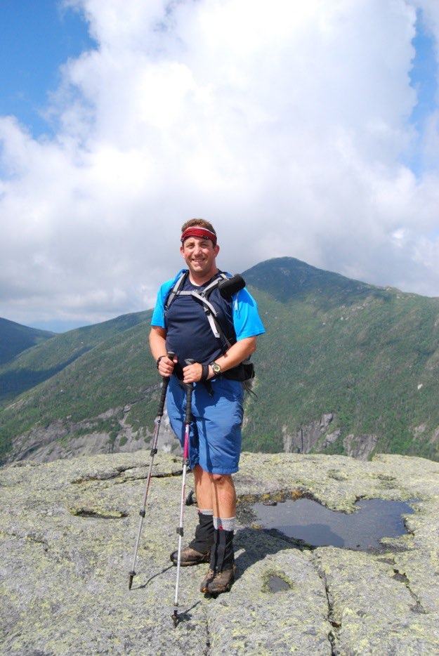
I stand triumphantly on the summit of Haystack, with Mt. Marcy directly behind.
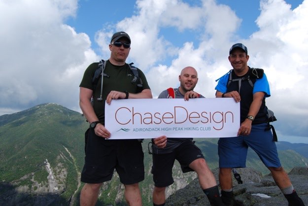
Another peak conquered in the name of ChaseDesign!
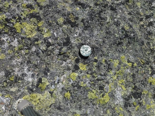
Summit Marker.
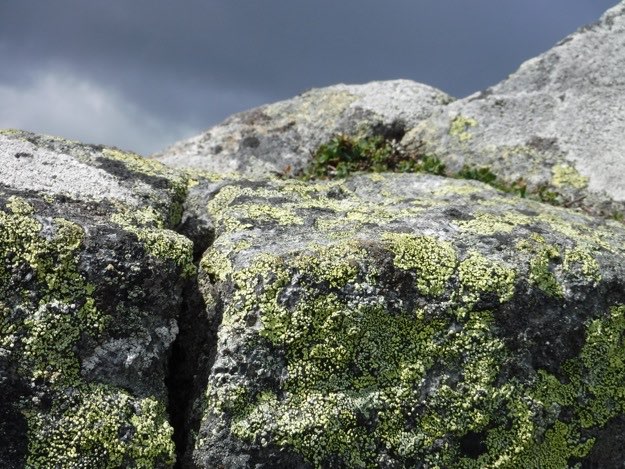
Lichens! Lichens! Lichens!
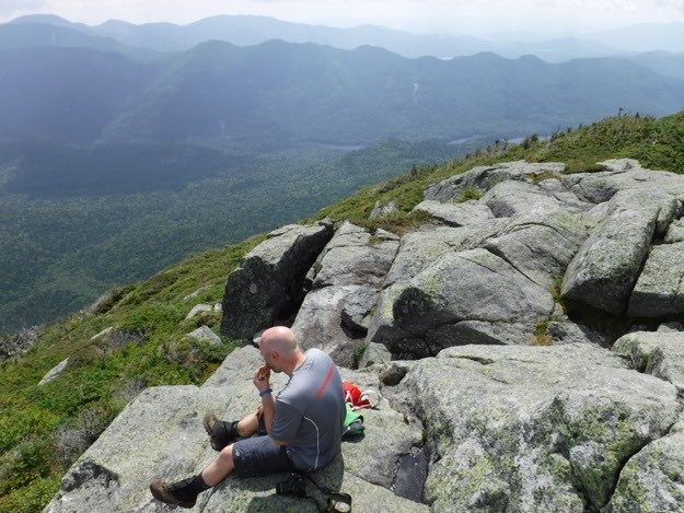
Tanner eats some food while checking out the dragon’s back that is the Pinnacle Range, south of Blake Peak.
The highest peak in New York State, Mount Marcy, with Panther Gorge down below.
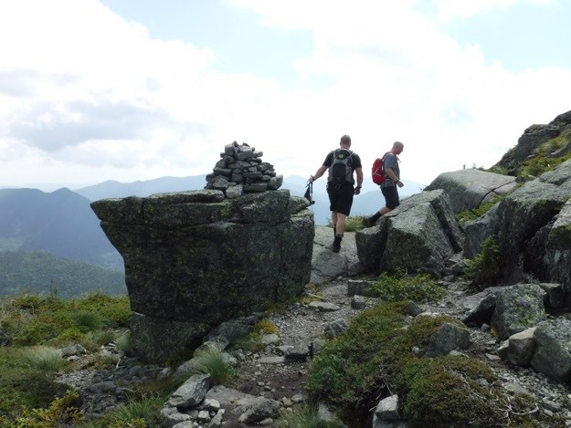
Andy and I head back down Haystack, towards Little Haystack.
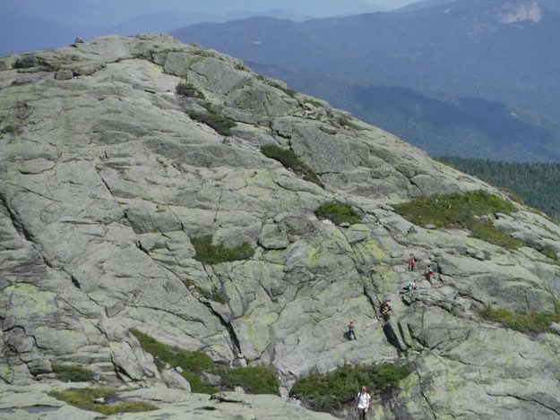
Little Haystack ahead. Our friend Tanner is with that group of 4 girls ahead of us, climbing back up Little Haystack. He’s actually looking back at us, taking a picture.
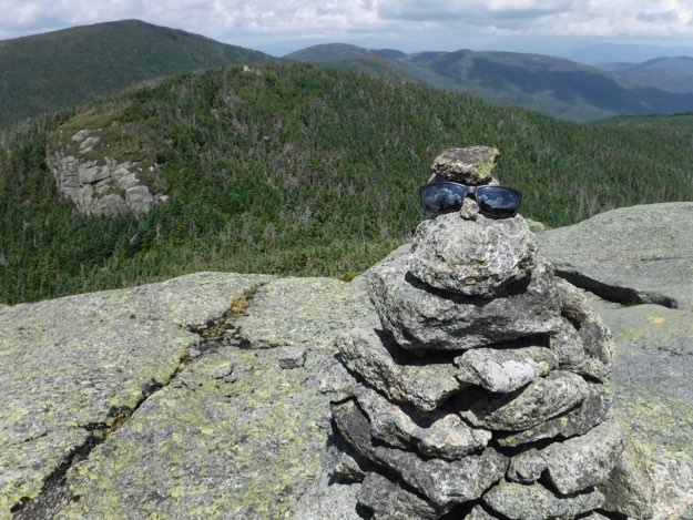
Andy found a pair of sunglasses on the way down, so he put them onto this cairn for the person who lost them. We have to head over that first forest-covered hump.

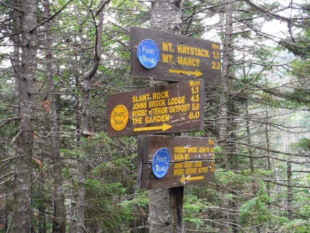
Back off Little Haystack now, at the intersection. NOTE! We totally missed these signs on the way back down. We had NO INTENTION of going towards Basin here. We wanted to go back the way we came, but we ended up inadvertently turning towards Basin, and didn’t realize our error until we were several hundreds of feet down. We opted not to climb all the way back up this steep trail to this intersection shown, and instead continue towards Basin, and then turn left onto the yellow Slant Rock trail. This would get us back on the correct trail back to camp, but it was definitely a harder, slower and more elevation-intensive way to go.
So long story short, pay attention coming off Little Haystack, so you don’t miss the signs!
This is the trail sign we saw that alerted us that we weren’t in Kansas anymore. It was not at all familiar to us, and left us scratching our heads for a few minutes. Luckily, we were carrying a map, and were able to realize precisely where we were!
At the point where the Slant Rock trail meets up with our main trail back to JBL, (Johns Brook Lodge), we sat and ate some food at a stream, and marveled at the “Smurf Village”.
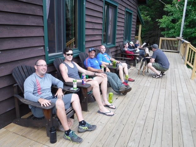
All the guys are cleaned up and happily reunited at the JBL. We got our cold beers out of the brook, and enjoyed relaxing in the Adirondack Chairs on the deck, reliving the day’s hiking.
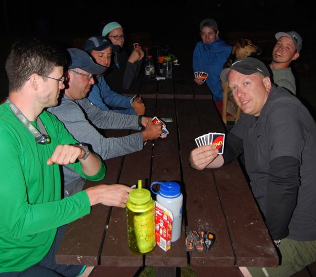
That night, we had a rousing game of UNO with some fellow campers at the picnic tables outside the JBL. Fun was had by all!
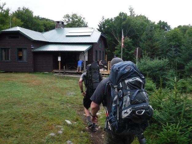
The next morning (Sunday), we packed up camp, and began our long hike out. Along the way, we bid goodbye to the JBL.
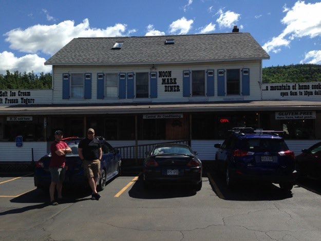
And of course, we end this trip with some refueling at the Noonmark Diner, with some cheeseburgers and chocolate milkshakes, before heading back home...
The End.