Iroquois, Algonquin & Marshall

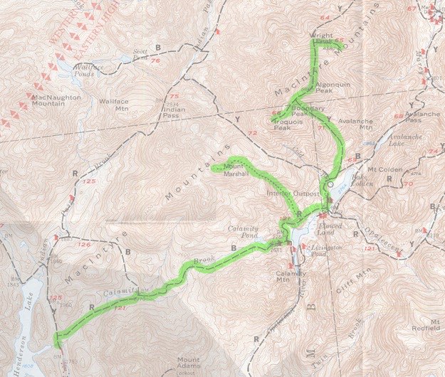
Topographic map courtesy of the Adirondack Mountain Club.
September, 2012
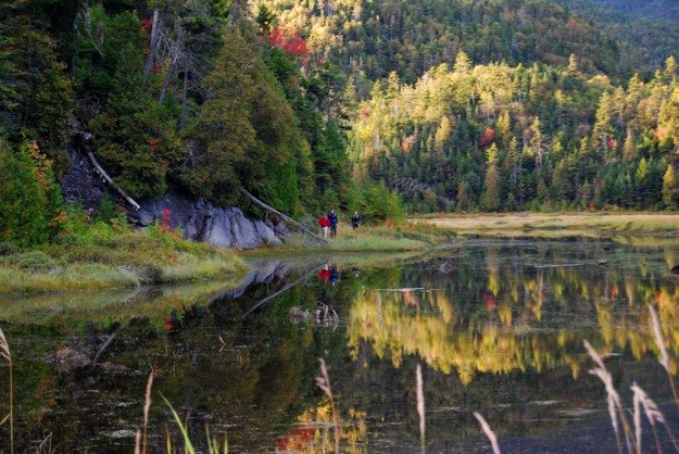
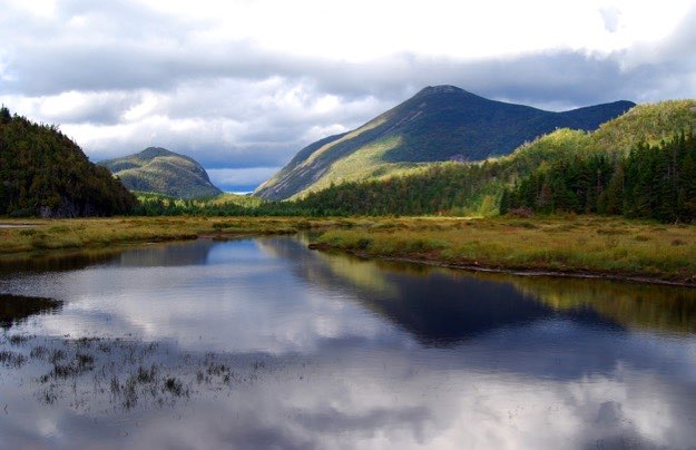
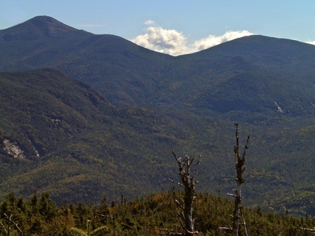
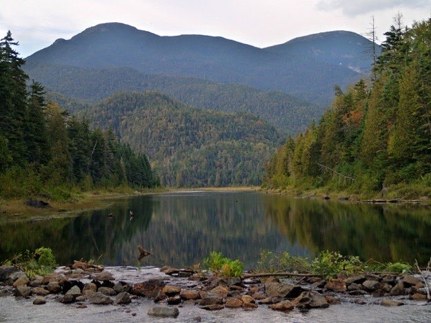
From left to right are Iroquois, (with the rocky nub known as the “Shepard’s Tooth” on the left slope), the intermediate hump of Boundary Peak, and Algonquin on the right. This is the view from the dam at the south end of the Flowed Lands.


ALGONQUIN
IROQUOIS
Here we go again...
The last time we were in this area of the high peaks, yours truly failed to summit Iroquois, due to a lack of energy (called a “bonk”), brought on by dehydration and/or lack of eating proper energy food combined with strenuous activity. In addition, we as a group decided to abort the plan to climb Mt. Marshall the next day. In a way, it was a double failure, as far as I was concerned. Of the 4 peaks in the MacIntyre range, I had only summited two of them. So this trip was designed to right that wrong, and make up the peaks I missed the first time.
MARSHALL
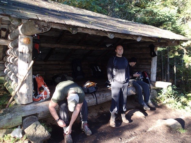
LEAN-TO
AT THE FLOWED LANDS
TRAILHEAD

(Part of my Original 46er quest)
Time to continue on our journey.
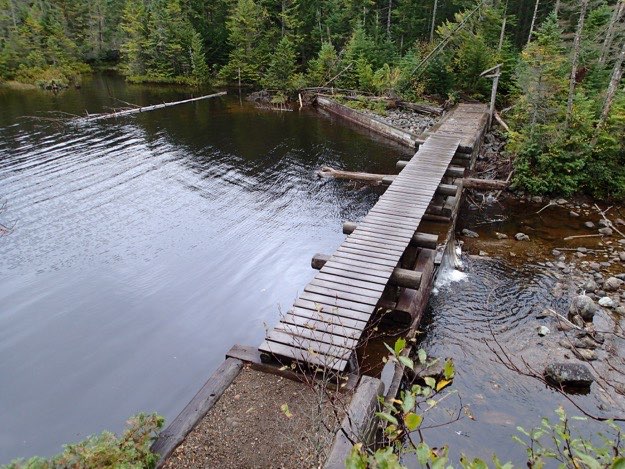
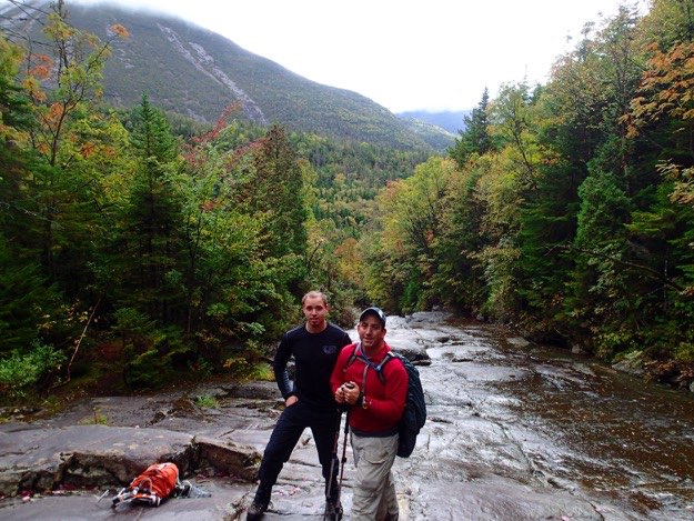
The dam at Lake Colden.
Saturday — peak hike day #1
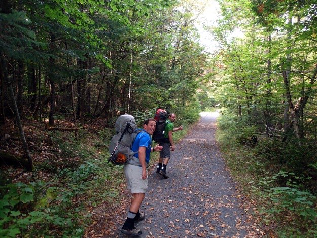
Friday — The hike to camp — approximately 4.8 miles
I stop on the way to check out the strangely purple fall foliage.
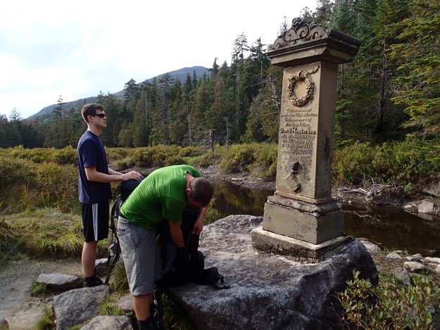
We stop for a break at the Henderson Monument.
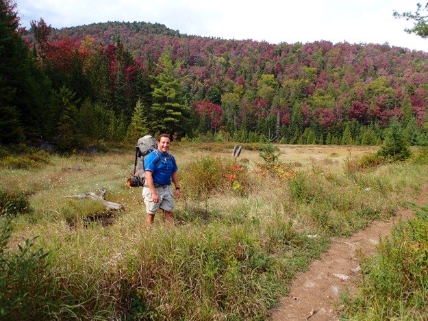
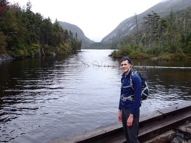
Pete stops at the Lake Colden dam to admire the view.
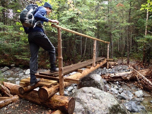
The new bridge across Cold Brook, built after the remnants of Hurricane Irene knocked the old one out.
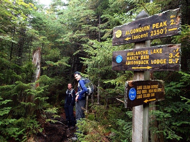
Here’s the trailhead up the eastern slope of the MacIntyre Range.
This looks pretty flat here, but it’s actually quite steep. Steep enough for us to need a break.
The view northeast. On the left, the cliff-like right side of Big Slide is clearly visible, as is the massive slide-riddled Giant Mountain to the right.
With a view this amazing, it was hard to leave to go hiking!
Time to get mobilized. Pack up the day packs, put on the boots. It’s time to go.
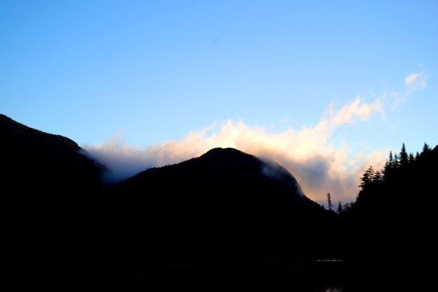
The sun rising above Avalanche Mountain, with a shroud of soon-to-be-burnt-off clouds.
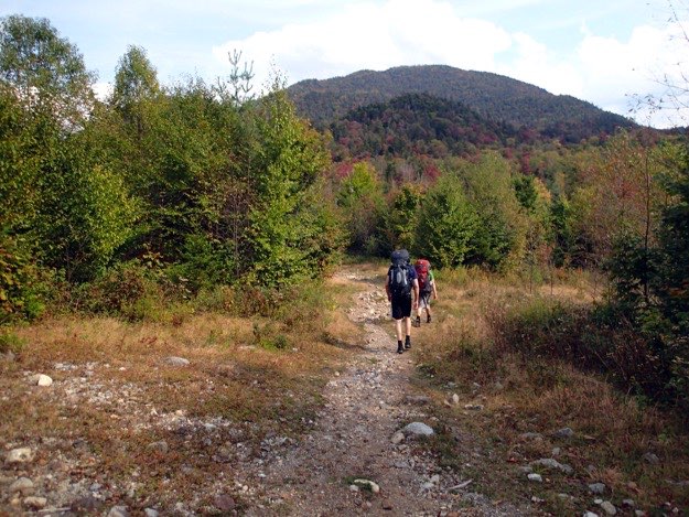
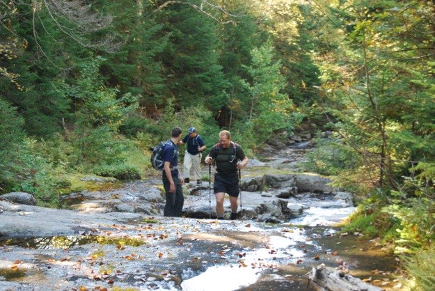
The two Jonathans, on their way. The bridge ahead spans the fledgling Hudson River as it leaves Henderson Lake.
Pete and Jonathan on the trail, with Calamity Mountain in the background.
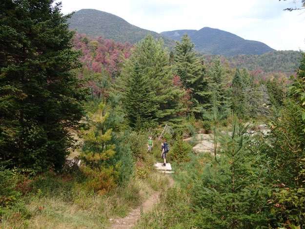
Mt. Marshall in the distance on the right.
Finally we arrive at the Flowed Lands, and we get to take off our packs at the lean-to. Behind us is the MacIntyre Range.
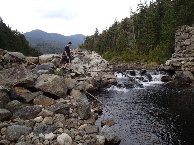
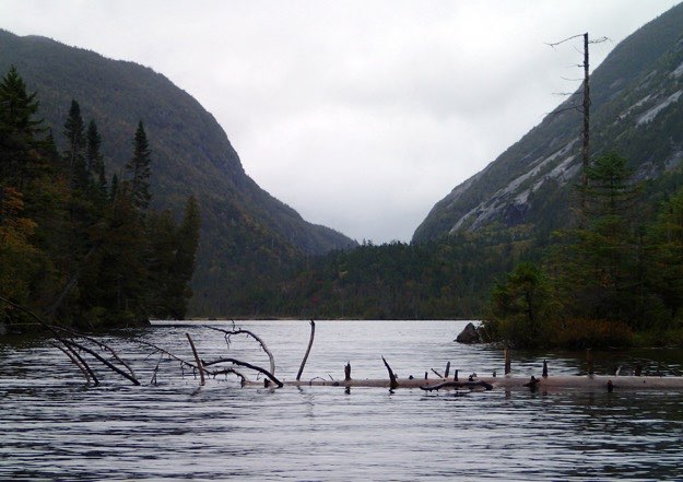
Just a bit further down the trail is the long-broken dam at the south end of the Flowed Lands, where the Opalescent River continues meandering southward.
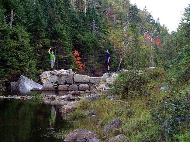
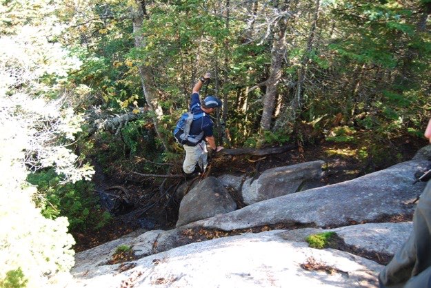
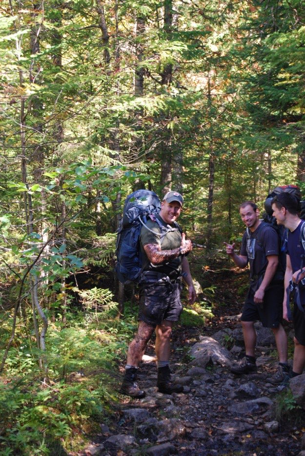
Pete looks for a place to wash up a bit.
Jonathan, (who I’m convinced is part otter), goes all-in...
The view northeast shows Avalanche Pass, between Avalanche Mountain on the left, and the scarred rock-slide slopes of Mt. Colden on the right.
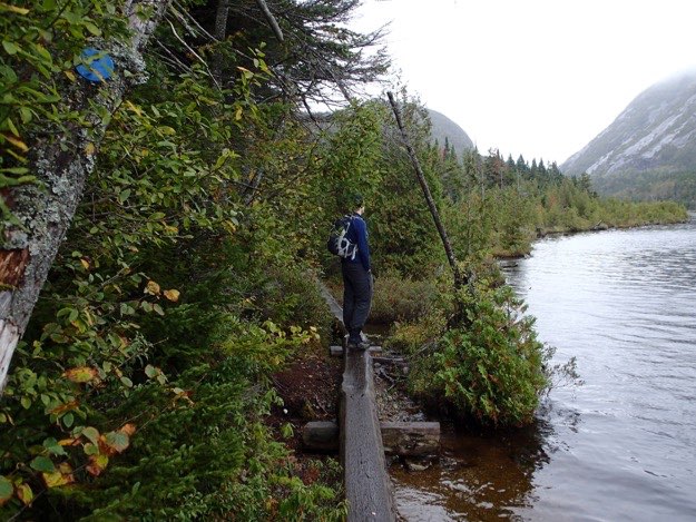
We stop to check out the view from the western shore of Lake Colden, along the “causeway”.
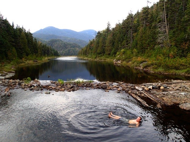
A lovely, inviting pool that would be perfect for a cool dip, (were it not 47 degrees out)...
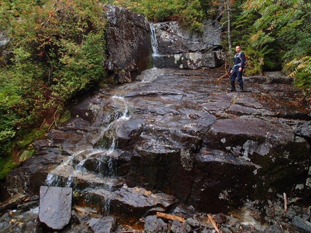
Jonathan checks out a slippery waterfall.
Walking up the rock slide provides a great view back towards Mt. Colden.
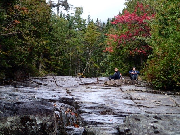
After what seems like an eternity later, we finally reach the alpine zone.
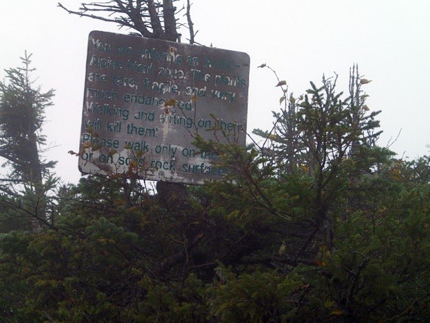
A preview of the talk we’ll receive later from the summit stewards at the top...
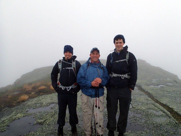
The three guys atop Iroquois. It was freezing cold, with high winds whipping past. There were no views, thanks to the low clouds we were inside of. We were disappointed.
BUT WAIT!!! What is that I see? The clouds seem to be lifting! I can see Lake Placid to the north! Perhaps there is hope for some views after all...
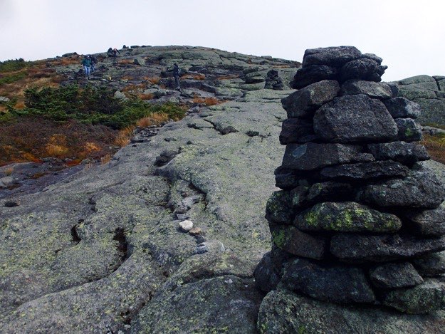
Here we begin the journey up to the top of Algonquin. The way is steep, but refreshingly open, bare rock, marked with cairns to aide in navigation through thick cloud cover.
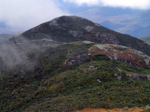
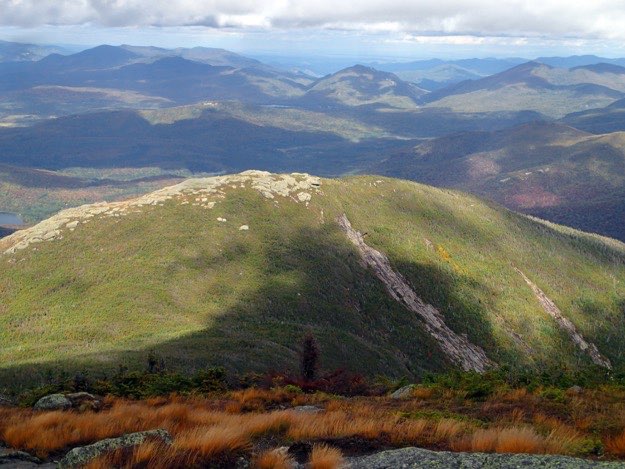
Looking back, we can see Boundary Peak in the foreground, with Iroquois immediately behind. You can actually see the people and cairns on both peaks.
Also visible is foreboding Wallface Cliff, at the bottom of which is treacherous Indian Pass, home of house-sized boulders and deep crevices that can hold snow inside them, even on the hottest summer days.
At the top of Algonquin (2nd highest peak in NY). We’re happy, because the skies are clearing, and giving us what we do all this hard work for; the view!
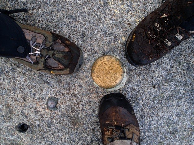
The summit marker(s) on top of Algonquin, and our therefore obligatory “boot shot”.
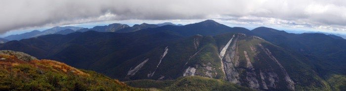
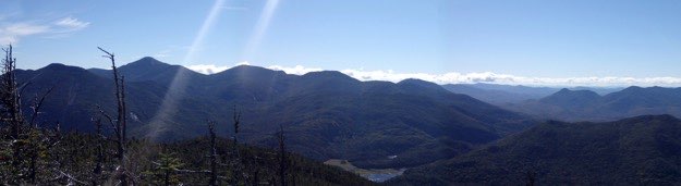
A panorama looking east.
Scarred Mt. Colden across the valley. Notice the new slide on the left side in white, leading from the summit, down into the trap dike, a popular bouldering route, (but not for me!!!). The new slide is thanks to Hurricane Irene.
Behind, from left to right is Mt. Marcy (highest mountain in New York), Gray Peak, and Mount Skylight.
The view back down to the Flowed Lands, where our camp is.
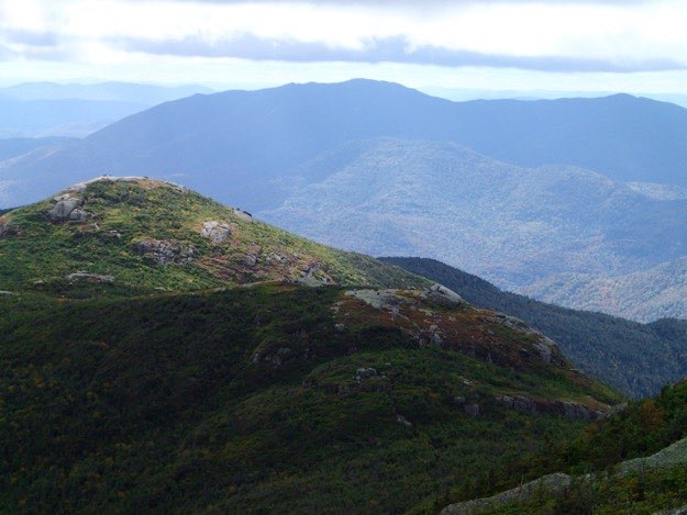
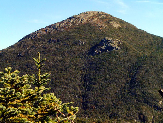
Another view of Iroquois, (highlighted nicely by the sun), with people visible on top. The hulking Santanoni Range is the ridge in the background.
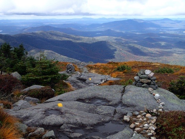
The alpine plants are cordoned off with small rocks, as the trail continues northeast, off the summit.
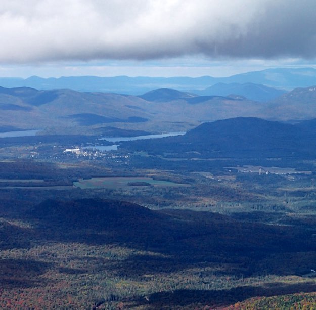
The village of Lake Placid. Can you see the big white Olympic Hockey Arena? How about the two ski jumps?
The next-door neighbor in the MacIntyre range to the northeast is Wright Peak. Having already completed that one, I didn’t feel it necessary to visit it again today. Perhaps I’ll revisit it another time in the future...
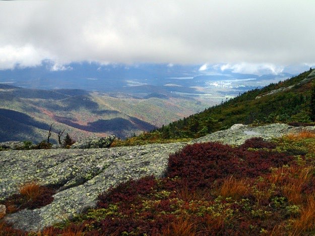
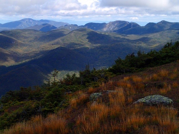
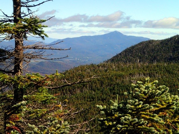
Middle distance is Tabletop Mountain, (and to the keen observer, the open rock of indian Falls). In the background is Giant on the left, with Rooster Comb, Upper and Lower Wolfjaw, Armstrong, Gothics, Saddleback and Basin.
The faintest blue mountains in the distance are the Green Mountains of Vermont.
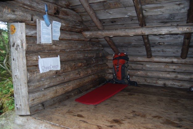
Back at the lean-to for the night, which we claimed in the name of ChaseDesign.
After many photographs at the top, we hiked the long journey back to the Flowed Lands. Here we come around the bend, back to the lean-to, to meet up with Andy and Tanner.
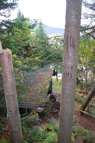
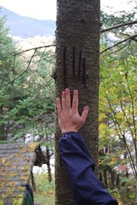
Clearly, this area is visited by black bears quite often...
Luckily, we did not see any bears; only the trees they use as scratching posts... right behind our lean-to!
Sunday — peak hike day #2
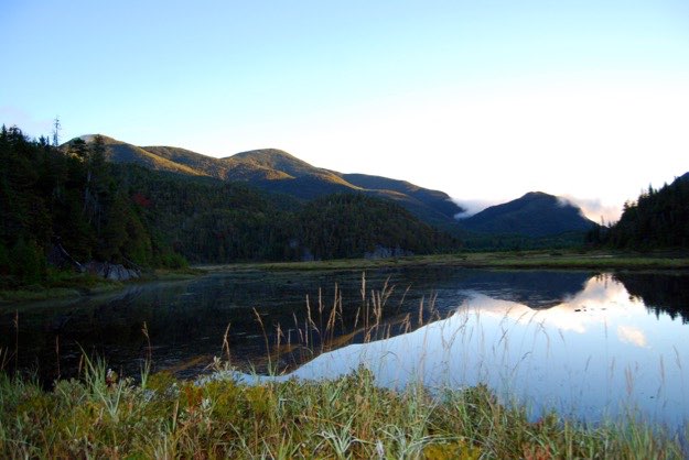
The evening sun lit the Flowed Lands beautifully.
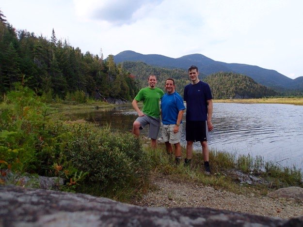
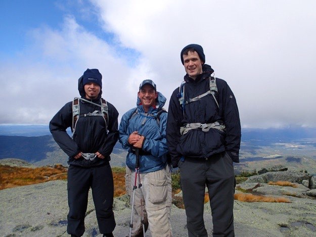
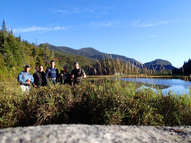
We pause for a quick group shot by the shoreline.
Special thanks, once again, to my buddy Tanner Gjersvig, who provided many of the images seen here on this page. He hikes with a big DSLR in his hand most of the time, and somehow never drops it or smashes it on a rock. Thanks for your help, Tanner!
The end.
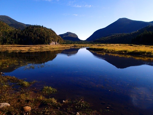
Did I mention how beautiful the view is here at the Flowed Lands???
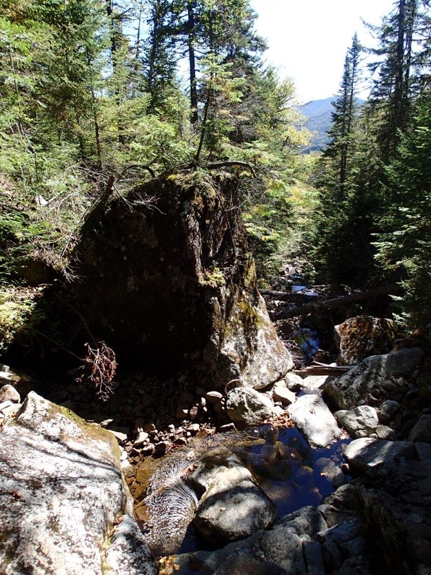
Jonathan climbs up the wonderful, but slippery slide that is Herbert Brook, going up the side of Mt. Marshall.
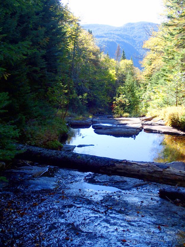
The slide is occasionally broken up by reflecting pools.
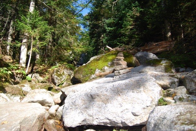
This picture is deceiving; it looks like an easy, flat trail. It is in fact, going up a rock slide, and at a steeper angle than what it looks like.
A small cairn showing the path up Herbert Brook.
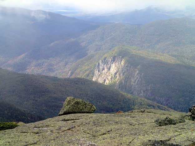
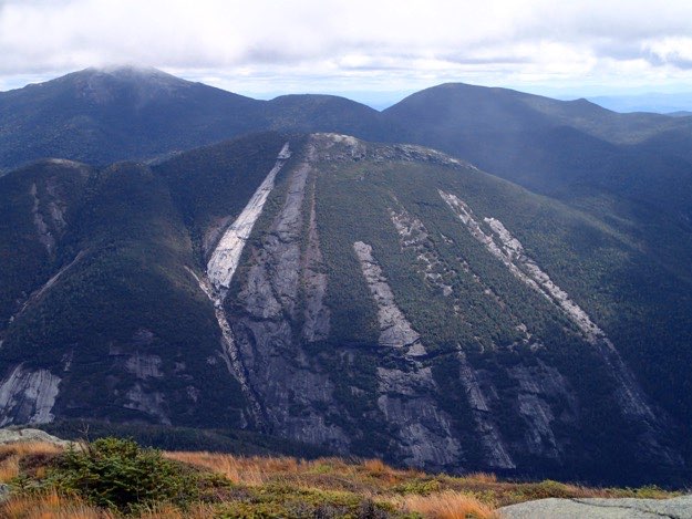
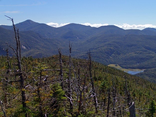
Nearing the summit of Mt. Marshall, we get an amazing view of the southern slope of Iroquois, with the Shepard’s Tooth feature clearly visible.
Also visible are the Olympic Ski Jumps, with lonely and massive Whiteface Mountain in the distance.
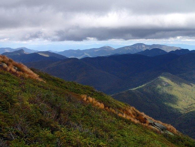
At a great viewing spot just before the summit is reached, you can see 180 degrees from east, south and to the west.
This view is of Colden to the left, Marcy, Gray, Skylight, Redfield, Cliff, Allen, and Calamity mountain.
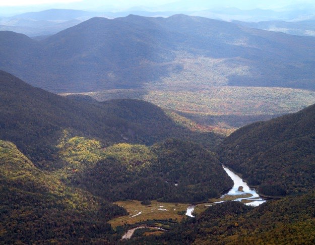
A bit more zoomed-in. You can see the Flowed Lands down in the valley a bit more clearly here.
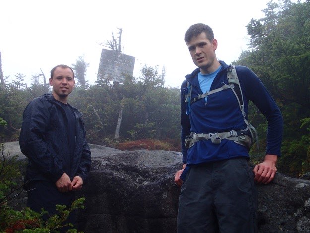
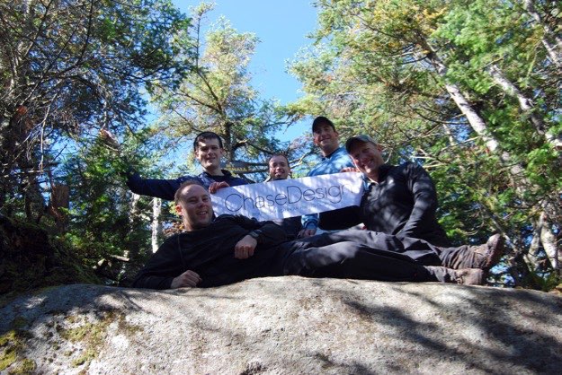
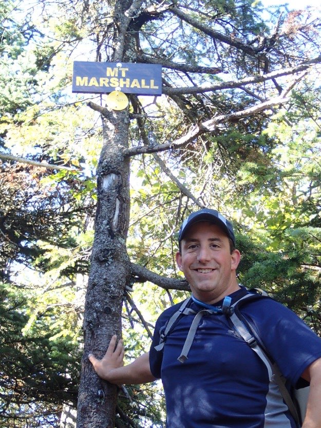
Success! We’ve reached the summit of elusive Mt. Marshall.
Finally!
The next mission: Mt. Marcy, Gray, Skylight, (and also Redfield and Cliff, which aren’t in this picture).
Climbing down off a steep section.
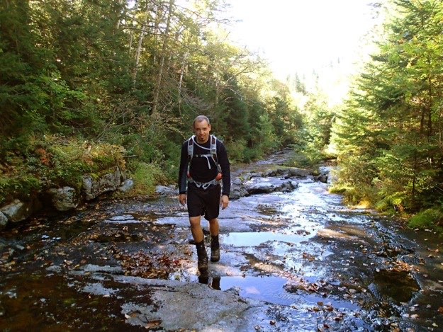
A view of the trail/Herbert Brook, on the way back down the mountain.
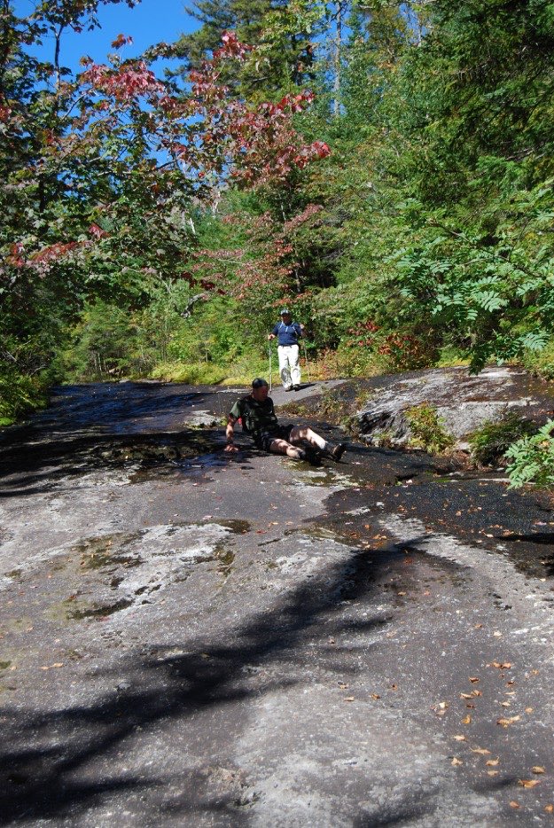
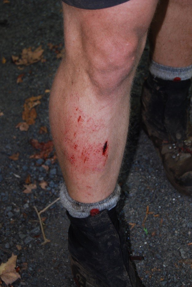
Ooops! Andy takes a very quick and impromptu “rest break” on the slimy, algae-covered rock slide.
Ooops again! Andy takes a very quick and impromptu “rest break” into a rock-filled mud pit, after we don our full packs back at the lean-to, and head towards the cars.
Andy’s shin will never forget that one!
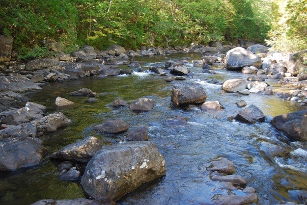
After arriving back at the cars, it’s time for our usual clean-up in the nearest body of water. In this case, it’s the Hudson River. Yes, the water was very brisk!
And, like after all hiking trips, we have to immediately find the nearest greasy spoon to fill up on massive quantities of food that WASN’T dehydrated... So here we are again at the good old Long Lake Diner...