Nippletop & Dial 2 (Winter)

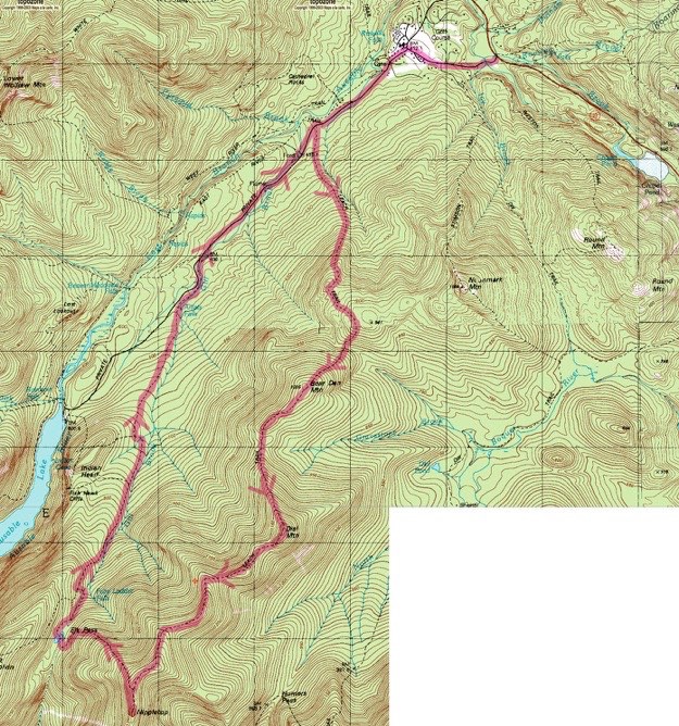
Note, we went counter-clockwise, hitting Nippletop first, (contrary to the arrows on this map). Topographic map courtesy of Topozone.com
March, 2016
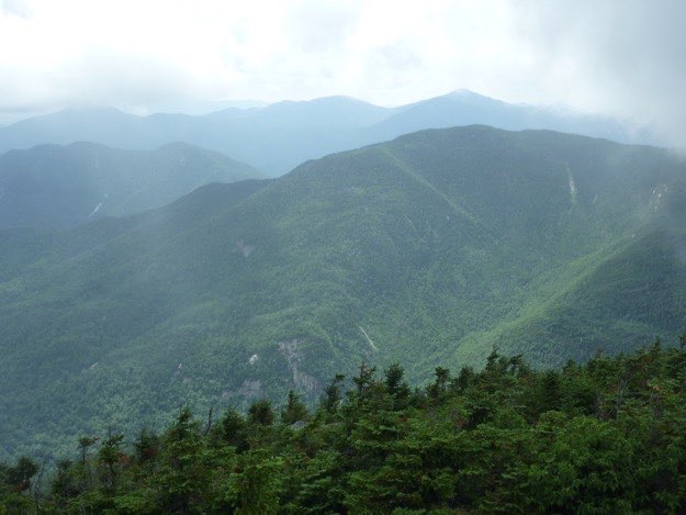
Nippletop seen from Dix Mountain.


DIAL
MOUNTAIN
TRAILHEAD

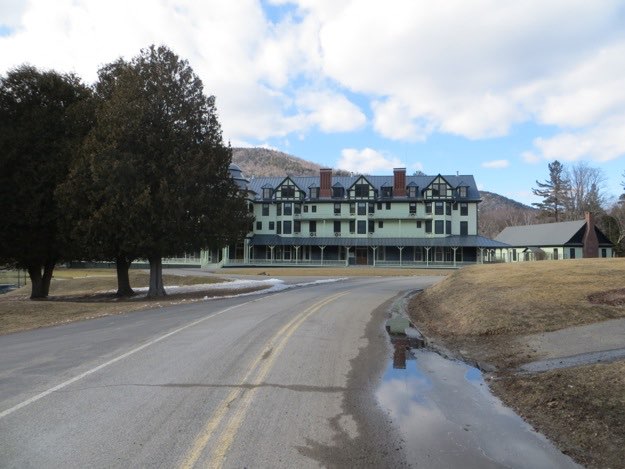
St. Hubert’s

Bear Den
Mountain
My friend Tanner needed this hike, and since we’d already done this hike in the summertime, and clockwise, (Dial, then Nippletop), we decided to do it in the winter, and counter-clockwise, (Nippletop, then Dial). So we drove up to Lake Placid, and stayed at Art Devlin’s Olympic Motor Inn, which we highly recommend. After a nice dinner out at Smoke Signals in Lake Placid, and an UBU at the Lake Placid Brewery, we retired for the night early.
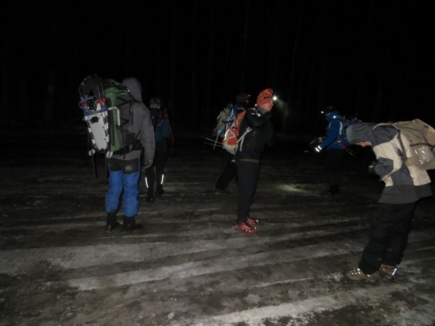
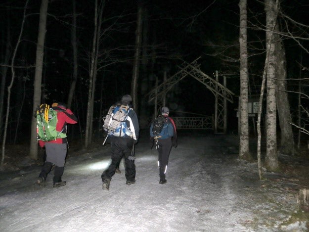
The next day, we awoke before dawn, and drove to the trailhead at St. Hubert’s, and started hiking with headlamps. The hike went great. We had amazing views this time, thankfully! It pays to redo those first hikes that were shrouded in clouds...

NIPPLETOP PEAK
Elk Pass

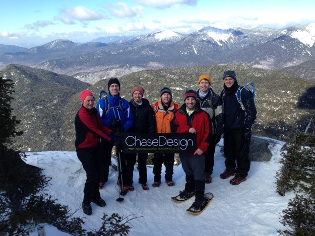
The ChaseDesign crew.
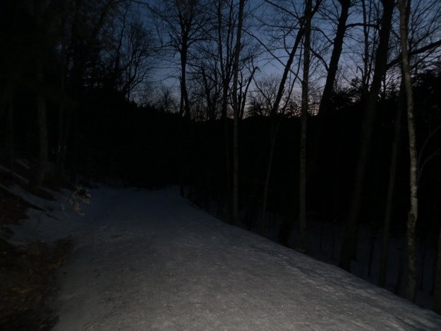
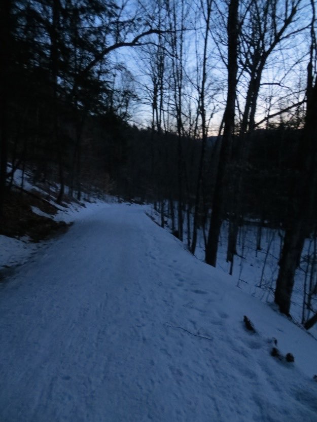
The road is a hump of ice, so caution must be used to not slip. Twilight is upon us.
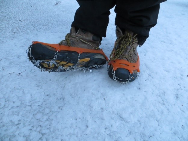
These micro-spikes work great for hiking on this ice.
The peak hike — a clockwise loop of 13.6 miles
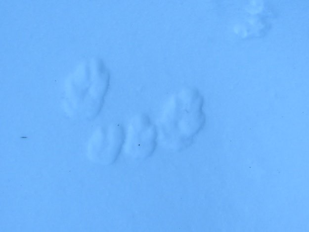
Rabbit tracks? I’m not really sure.
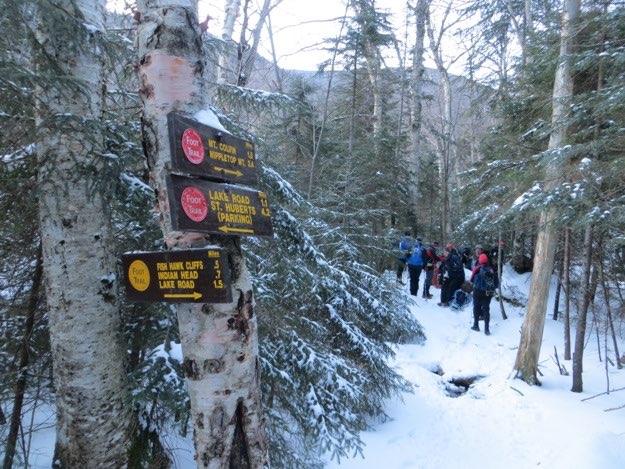
We’re now off the AMR land. This is evident with the more official DEC signage...
The view of next-door neighbor Dix, with Hough to the right.
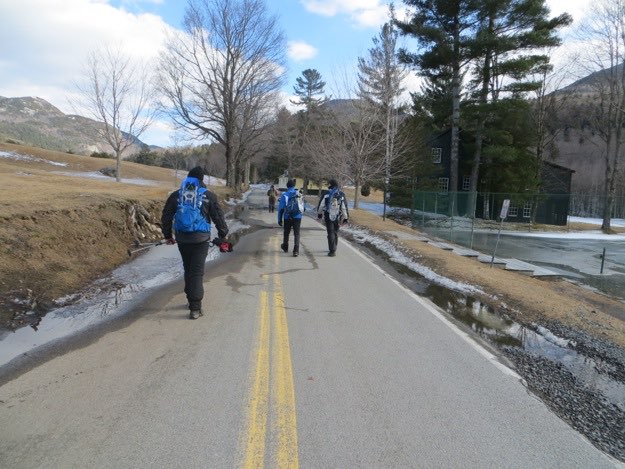
Getting on all our gear in the cold morning air. The St. Hubert’s trailhead parking lot was basically an ice rink.
We approach what looks like the Elven gate to Mirkwood Forest, (for your Tolkien fans).
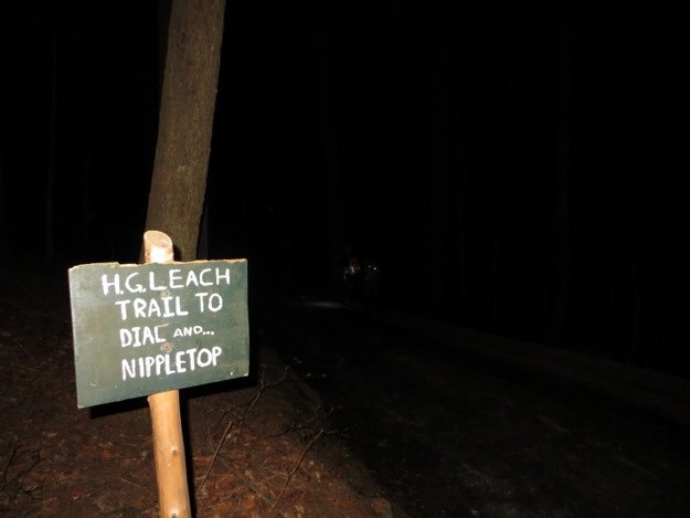
We follow the AMR lake road and see the sign for the H.G. Leach trail. This time, we opt to stay on the road. We will be returning back to the road on that trail later in the day, on our way out.
It is bright enough now to not need headlamps anymore, but dim enough to prevent my camera from accurately focusing on anything...
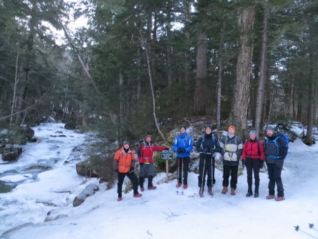
Finally, we meet up with our turn-off at Gill Brook, and pose for a group photo. From L to R: Tanner, myself, Chris, Chris’ nephew Dan, Chris (another one), Carol and Mark. (Not pictured: Kevin and Jonathan).
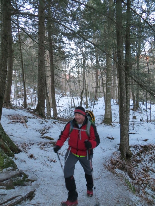
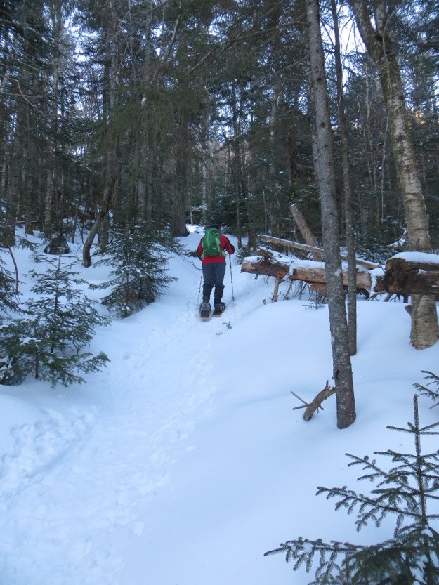
Not much snow to speak of at these lower elevations. Micro-spikes are working splendidly for us.
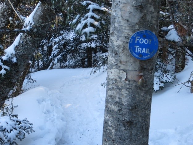
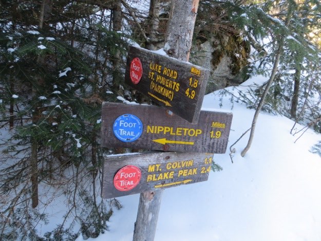
We’ve reached the trail split. To continue right, on the red trail would lead us to Colvin and Blake. We go left, on the blue trail to Elk Pass, and then UP to Nippletop.
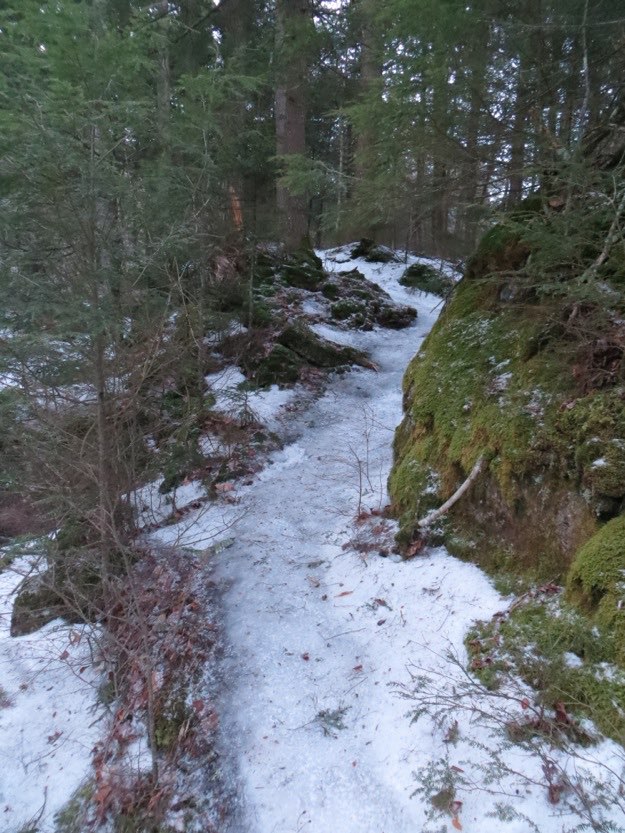
The trail is well-traveled, and easy to follow.
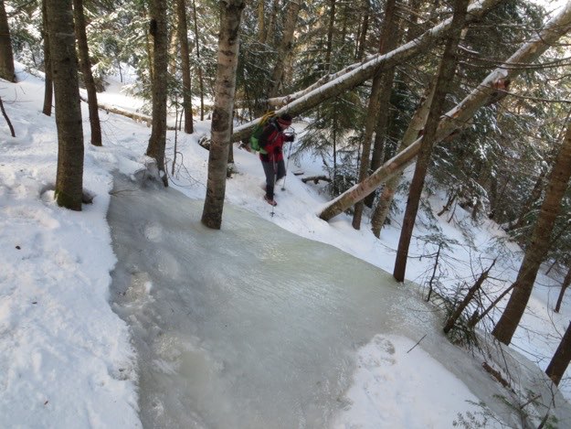
Here I try to find a way around a steep ice flow coming out of the mountain. It has slowly engulfed trees, and encased them in several feet of ice.
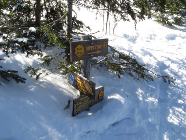
I fast-forwarded quite a bit, skipping most of the unpleasantness of our tough climb up the western side of Nippletop, from Elk Pass. It’s hard to be motivated to get the camera out when you’re huffing and puffing so much! This is the intersection at the top. We first turn right to hit Nippletop, before returning to this sign, and then going left towards Dial.
The guys pause on the short hike up to Nippletop’s summit to take in the unfolding views.
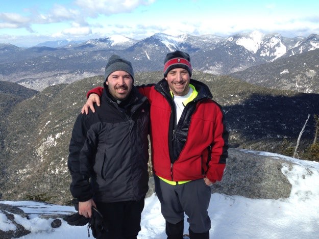
My cousin Mark and I congratulate each other on the summit.
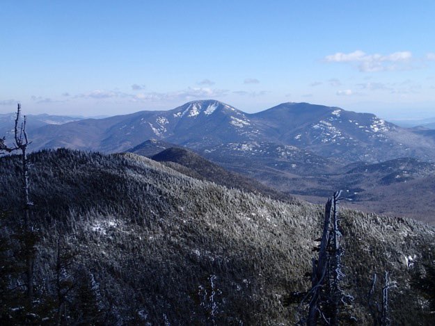
Nippletop has an amazing view. The cloud-shrouded green mountain in the foreground is Colvin. Behind that, from L to R is Skylight, Haystack, Marcy, Basin, Saddleback, Sawteeth, Gothics and Armstrong.
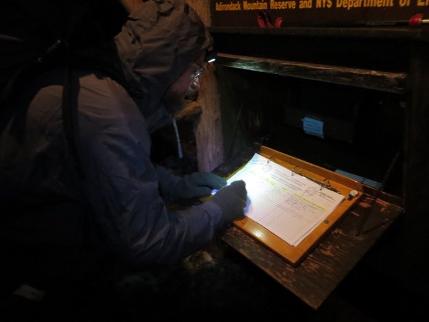
Kevin signs us all in at the registration kiosk.
Away we go. The icy trail leads off into the woods, following Gill Brook towards Elk Pass and then to Nippletop.
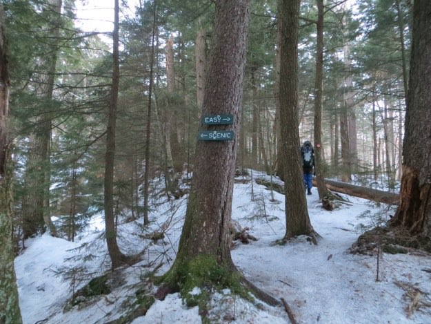
Some wisely opt for the Easy route here. Mark took the scenic route, and slipped on the ice and fell several feet. Nothing was injured but his pride...
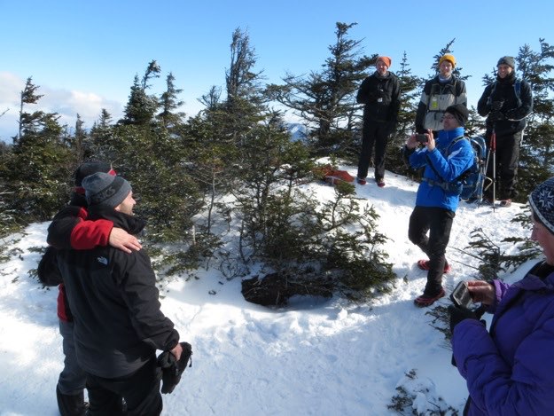
We hit the summit, and start documenting it with cameras and phones.
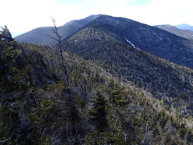
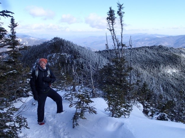
Heading back to the intersection now, Jonathan poses with Dial in the background, to the right.
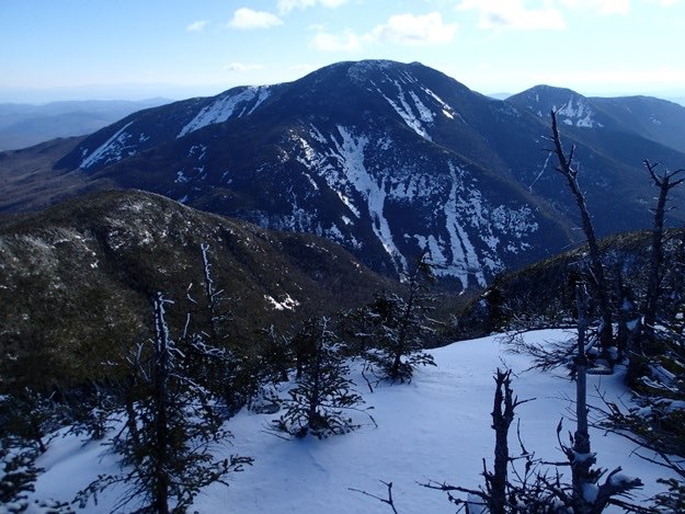
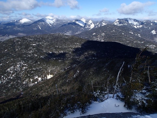
The view back to Nippletop, from Dial’s summit.
We emerge from the woods on Lake Road, and see the AMR property spread out before us.
A leisurely walk back to the car.
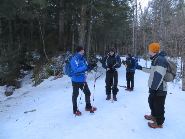
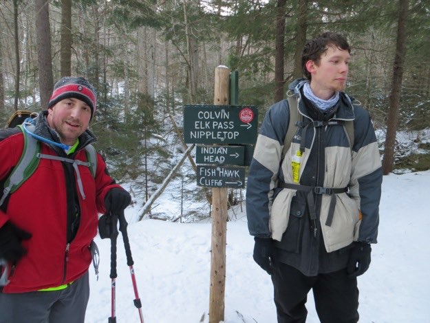
Here, we eat some food, and don our micro-spikes. The trail off to the left is pure ice.
Time to also extend the trekking poles.
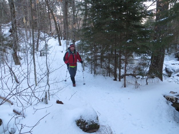
Yes, I’m just that fast a hiker, that the camera can’t focus on me.
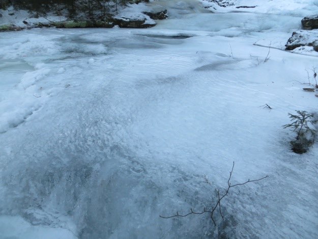
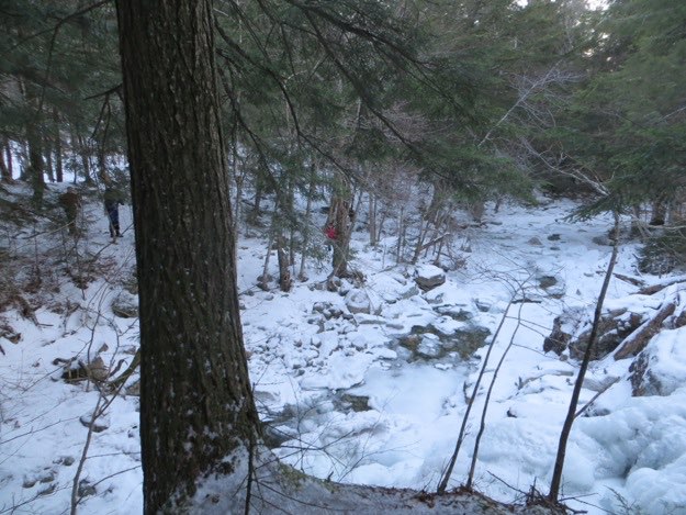
We love the unique ice formations we find on Gill Brook’s frozen shell.
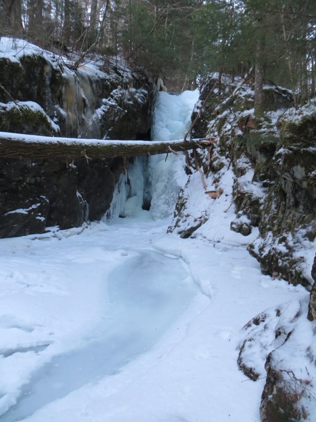
Being your photographer, I naturally chose the scenic route, which leads to this small waterfall. The things I do for you people...
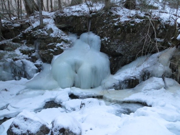
This is an obscure reference: this ice formation reminded me of the illustrated rock formations on the “Classic Yes” album cover, by the band Yes. Do you even know what an album is?
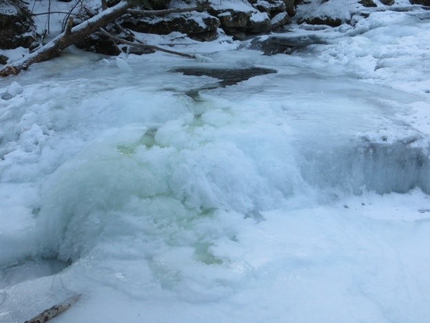
The actual running water of Gill Brook occasionally can be seen though holes in the ice layer.
The trail starts to pull away from Gill Brook after a couple miles.
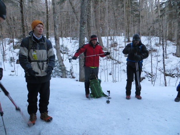
We meet up with a trail intersection, and stop for food and water.
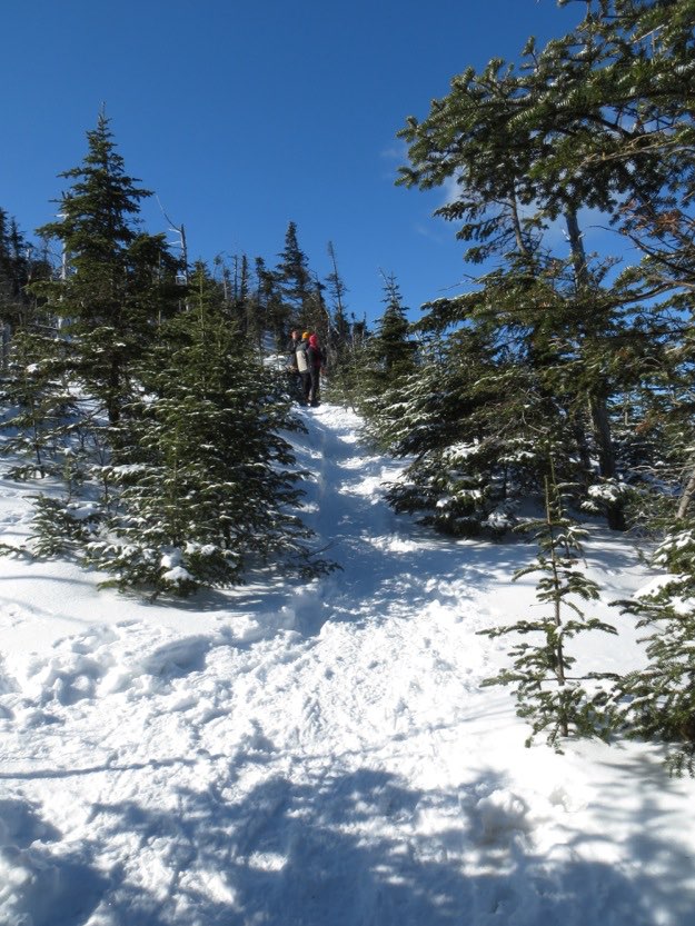
More snow, the higher up we climb, so I have put on my snowshoes.
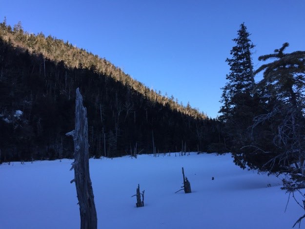
The pond at Elk Pass, between Nippletop and Colvin. From here, it’s up, up, up!
A nice view of scarred Giant, (middle), with dark Rocky Peak Ridge to the right. This view gives you a good idea about just how much down, then up there is between the two peaks...
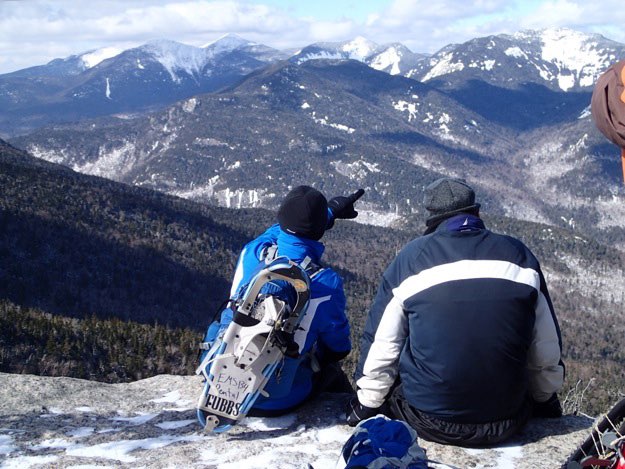
Sitting on a cliff edge, Chris points out the peaks of the Great Range to his nephew Dan.

The view of the St. Huberts Valley.
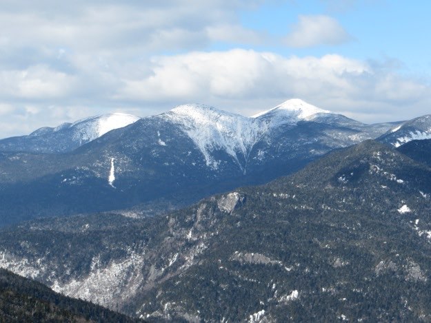
The view of Skylight, Haystack and Marcy, zoomed-in.

Here, I climb up “the burn”, the section of bare, and young-growth near the shoulder of Noonmark, after we tackled Dial. That dark hump of a mountain behind me is Bear Den. This burn section is a result of a forest fire many years ago. The sun was beating down on us, and we were sheltered from the wind. Therefore, I am sweating like crazy here!
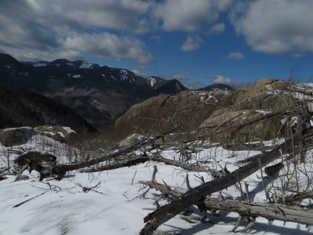
The Burn.
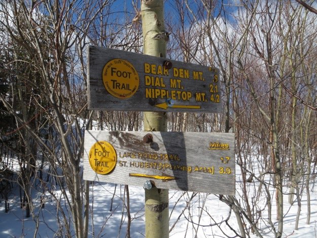
We came from the left, from Bear Den, Dial and Nippletop. We’re heading to the right, back to AMR land, the Lake Road, and St. Huberts.
One last view of Giant behind the golf course at St. Hubert’s.
The End.