Sawteeth, Colvin & Blake

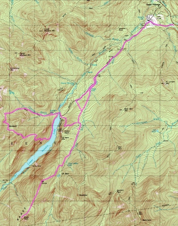
Topographic map courtesy of Topozone.com
TRAILHEAD

July 2007
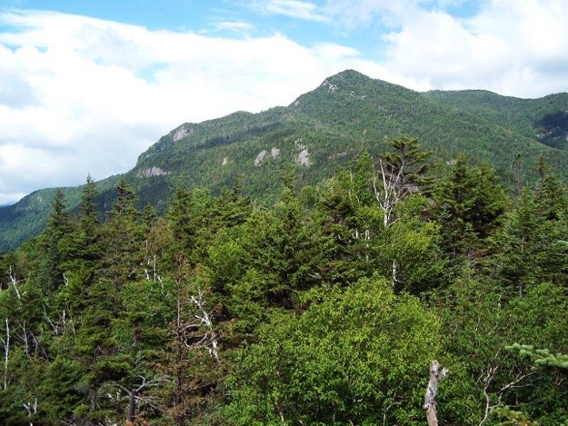
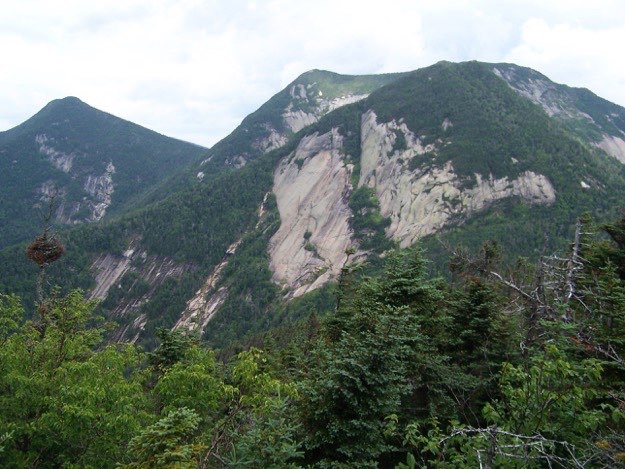
INDIAN HEAD LOOKOUT

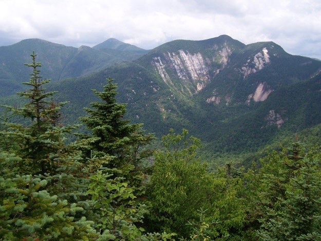
The jagged summit of Sawteeth, as seen from a lookout called Indian Head just to the north.
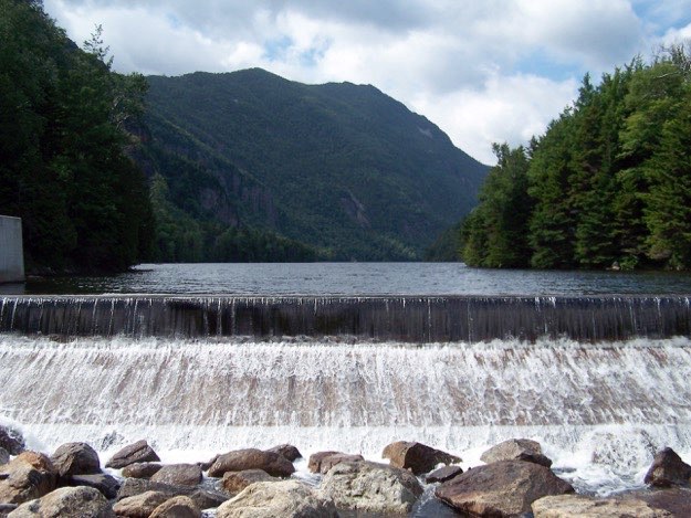
Leaving from the parking lot on Rt. 73 for the Ausable club, we hiked in via Lake road, then via Gill brook trail. We made camp just off AMR land, near Indian Head. The next day, we climbed up Indian Head, down to the Dam at the northern end of Lower Ausable Lake. This was necessary to reach the base of Sawteeth (35th highest, at 4100 feet). Taking a quick diversion to see beautiful Rainbow falls, we then ascended Sawteeth via the Weld trail, between Pyramid Peak and Sawteeth. The summit was smaller than expected, with no marker. The views of the southern great range was great. The rock slides of Basin, Saddleback, Gothics and Pyramid Peak were amazing to see so closely. Clearly visible was Mt. Marcy, behind Haystack, as well. After lunch atop Sawteeth, we descended via the “scenic” trail, down the teeth that give this mountain its’ name. The rain moved in, and added frustration, yet coolness to our tough descent. The views of Lower Ausable lake were nice at the many outlook points. Better yet, the small beach along the shore walk back to the Dam was so very inviting. We were very close to taking a swim in the dark waters, if it weren’t so cloudy and rainy.
The next day, we hiked south, up Mt. Colvin (39th highest, at 4057 feet). This hike up was very nice, because all the difficult steep parts were broken up perfectly by alternating flat sections. Colvin had a nice view of Lower Ausable Lake, the east side of the great range, and points north. There is also another cliff outlook point looking south and west, as you start heading toward Blake peak (43rd highest, at 3960 feet). The trail meanders easily along the ridge for some time, before a very steep and squishy descent down the black mud-laden trail to the valley between Colvin and Blake. This is a treacherous section, due simply to how slippery the trail was. Luckily, nobody fell!
The ascent up Blake was steep, but relatively short. Unfortunately, there was not marker at the wooded summit of Blake. We ate lunch among the stunted pine trees; sheltered from the wind. After lunch, it was time to turn around, and go back down Blake, up and over Colvin again, back to camp.
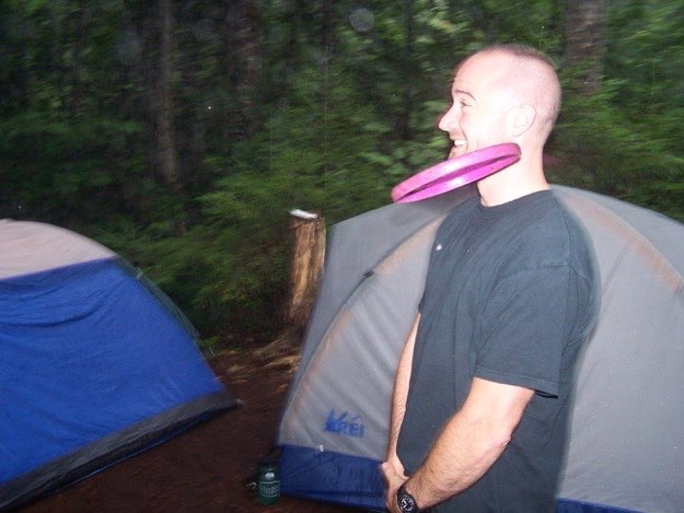
We had a fire that night, and filled up on crystal-clear water we filtered and purified from Gill brook. We had lots of rain during this trip, but the weather certainly could’ve been much worse, and much hotter. We even named our camp site, “Camp Sunshine”, rather sarcastically. We passed the time by either huddling under the two tarps we strung up for shelter, or playing “Guts”, a frisbee game in which you must not move as your opponent throws a frisbee at you, with intent to cause bodily harm. We had fun, despite the rain, and despite our aches and pains!
MOUNT COLVIN

BLAKE PEAK

SAWTEETH
MOUNTAIN

BASE CAMP

(Part of my Original 46er quest)
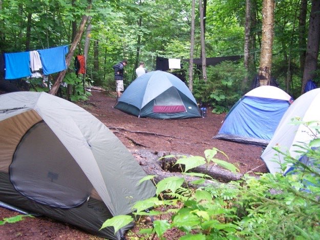
Our wet base camp just east of Indian Head. We string up some rope in a useless attempt to dry out our clothes.
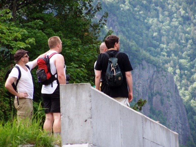
The guys survey the lake and surrounding mountains from the edge of the dam.
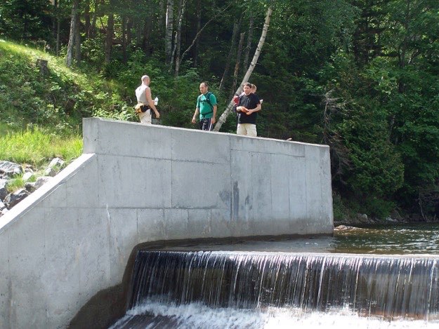
A better view of the dam at the top of Lower Ausable Lake, shot from the footbridge crossing the Ausable River.
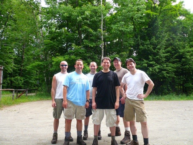
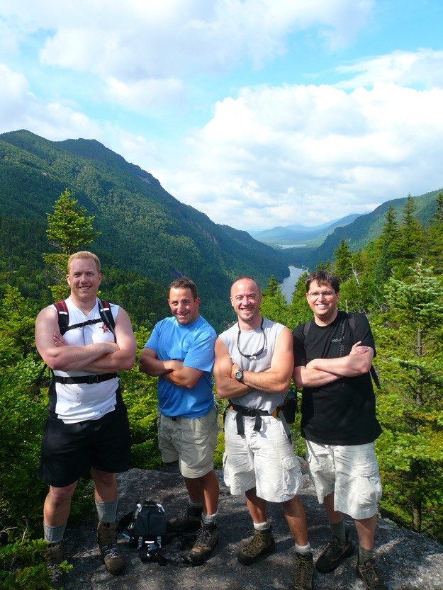
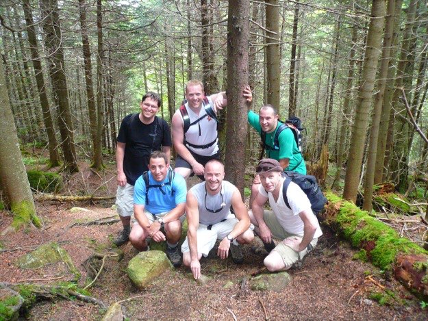
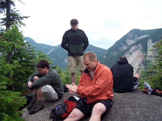
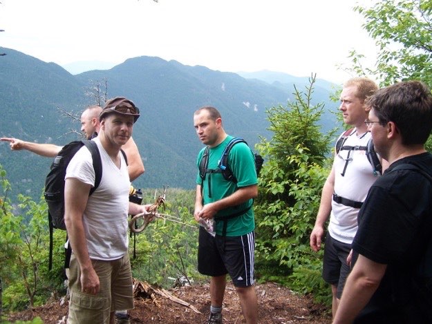
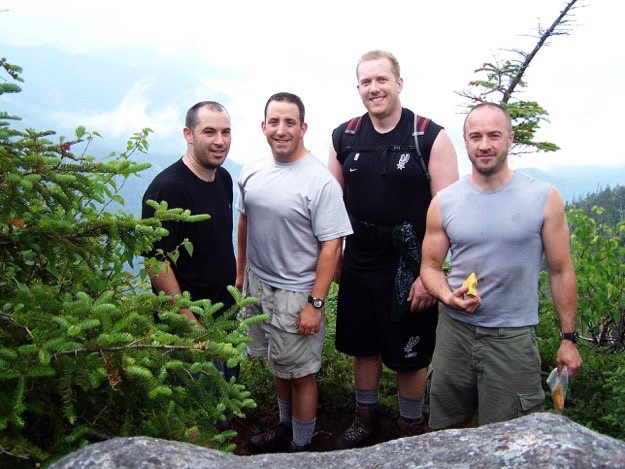
The guys stop for a quick break atop Indian Head. From left to right: Tom, my cousin Mark, Justin, Andy and my cousin Jim.
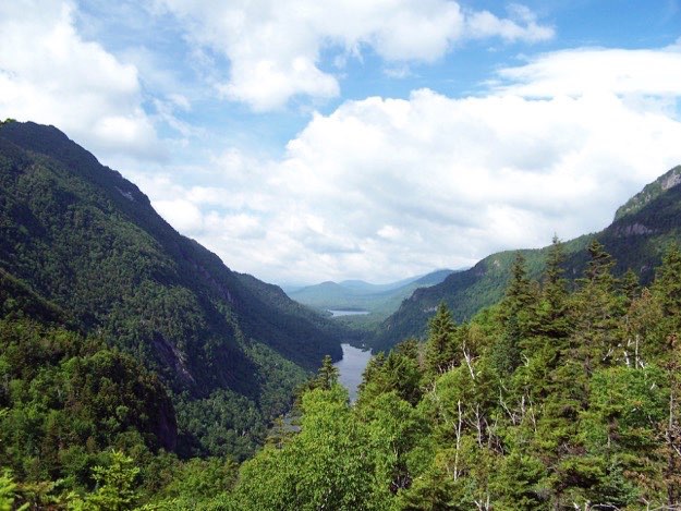
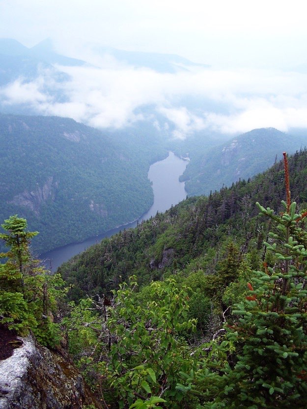
The view from near Indian head southward. To the left is the Colvin/Blake ridge, and to the right is the shoulder of Sawteeth, where we’re heading first. In the middle is Lower Ausable Lake, (the closer one), and in the distance is Upper Ausable Lake.
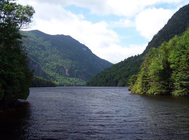
After descending off Indian Head, we were at the north end of Lower Ausable Lake. This view looks south, where you can see Blake Peak on the left in the distance.
Okay, enough sight-seeing; time to get going...
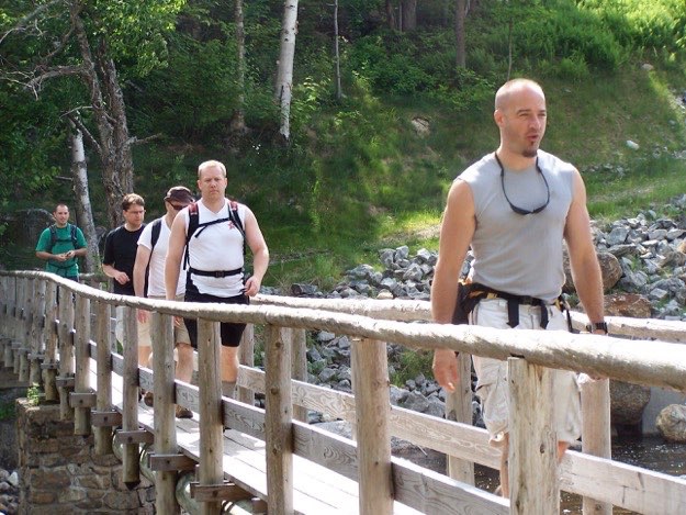
The guys cross the bridge to the other side.
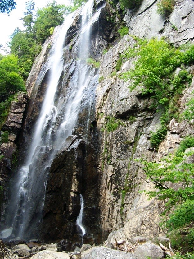
We took a quick and worthwhile side trip (15 minutes total), to go see Rainbow Falls.
The steep, rooty climb up rocks towards Colvin’s summit.
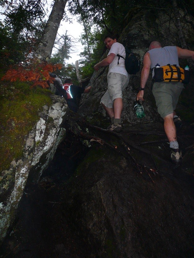
Jim readies himself for a bouldering maneuver up a crevice.
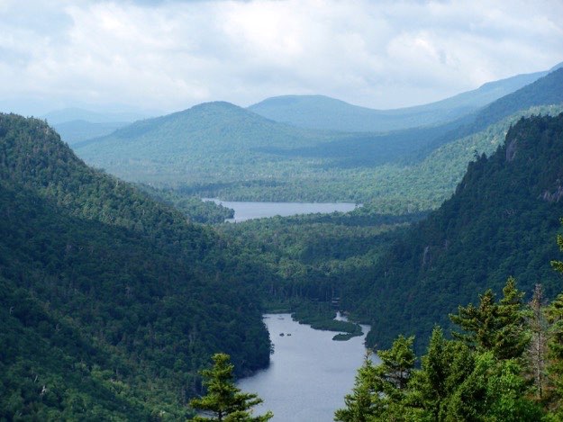
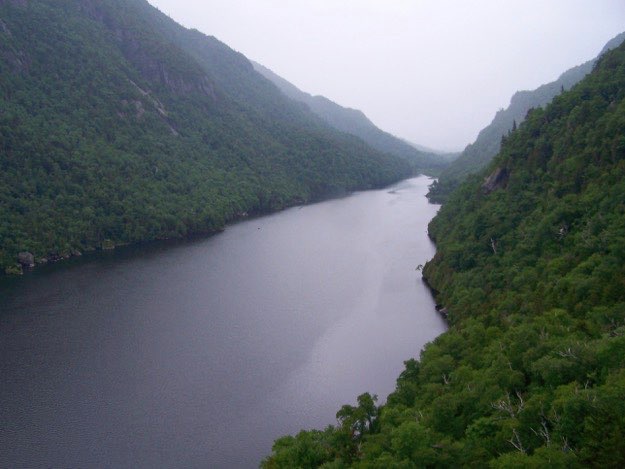
A zoomed-in view of the two Ausable Lakes.
1.75 hours later? We’re triumphantly on the summit of Sawteeth.
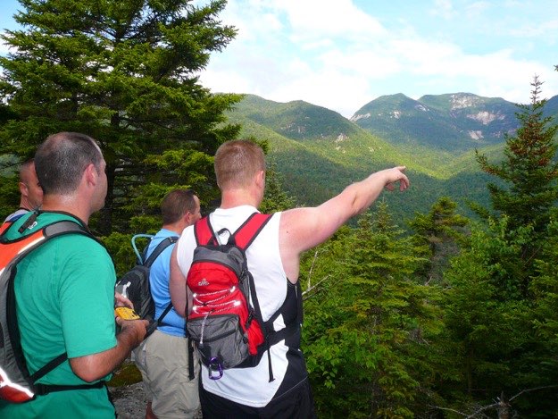
The Southern Great Range: from left to right: Haystack, Marcy (in the middle, in the distance) and Basin.
Panning to the right just a bit: from left to right: Saddleback, Gothics in the background and Pyramid Peak in the foreground.
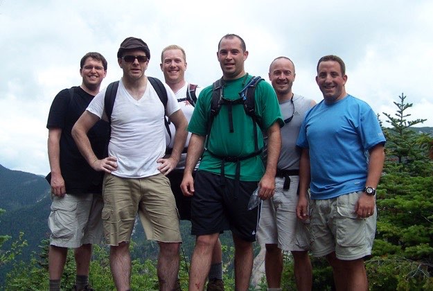
We all don some warmer clothes so as not to catch a chill on the summit.
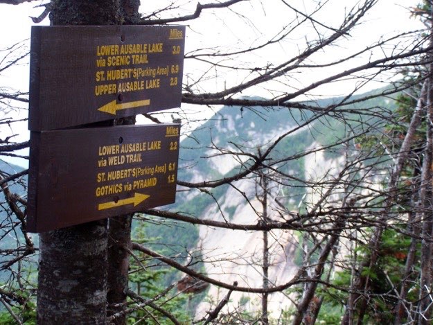
The trail splits near the summit. We head to the right, going back down Sawteeth via the Weld Trail.
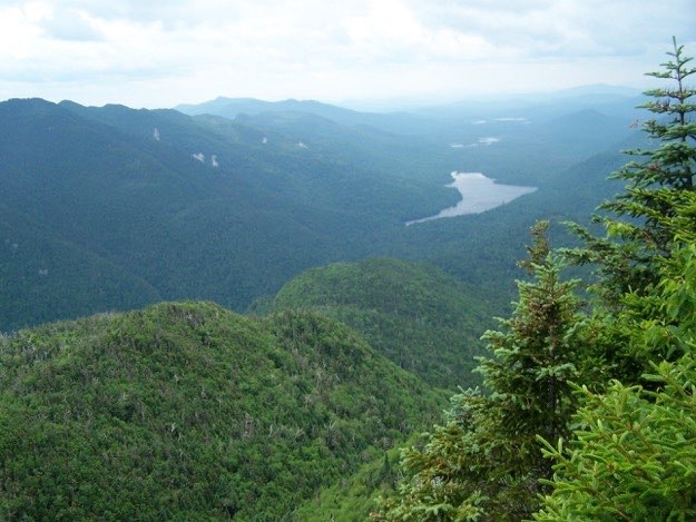
The view of Upper Ausable Lake with Blake Peak off to the left.
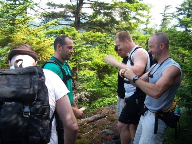
Jim points out the route we took up Sawteeth, farther up to the north, as Tom shows off the unique tree branch he found on the trail.
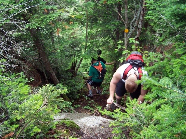
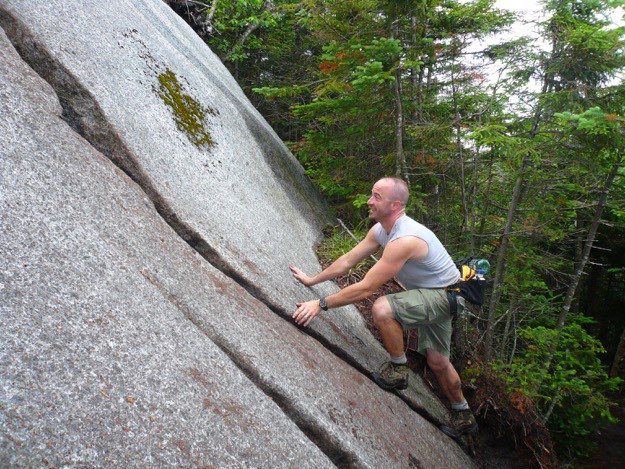
The Weld trail is steep!
The Weld trail offers nice views of Lower Ausable Lake.
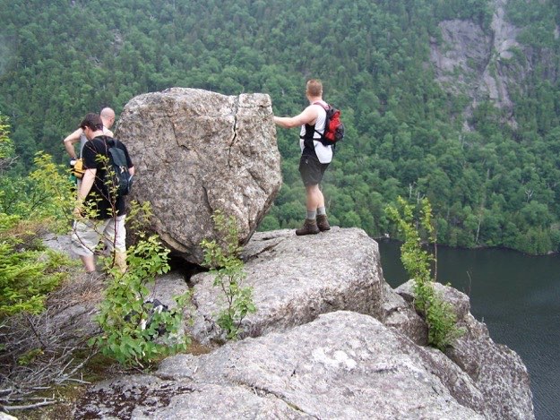
A boulder sits atop an open rock cliff on the side or Sawteeth, providing nice views down the lake.
Saturday — Sawteeth — approximately 6 miles
Friday — The hike to camp — approximately 4.8 miles
Sunday — Colvin and Blake — approximately 5 miles
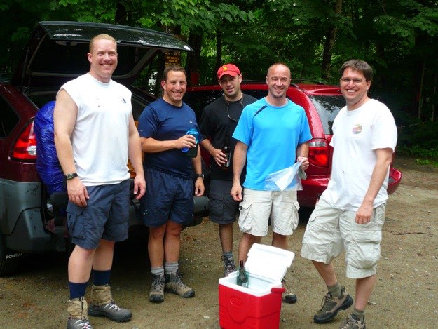
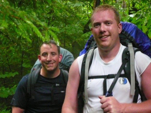
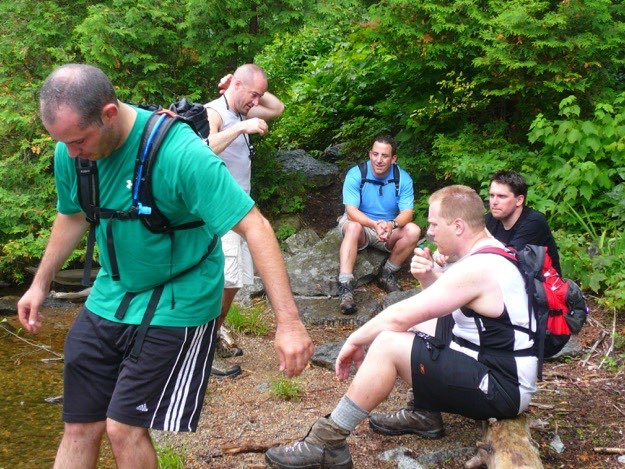
Nothing starts a hike off right more than some really strong microbrews. Right?
We get soaked from a heavy rain on the way to our campsite, but somehow remain in good spirits overall...
Andy points out some of the Great Range in the distance.
Andy, myself, Jim and Justin, atop Indian Head.
Taking a break going up the steep trail towards the summit of Sawteeth in a neat pine forest.
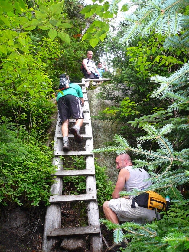
Climbing down a timber ladder.
The Weld trail leads all the way down to the shoreline of Lower Ausable lake, where we splash some cool water on our faces.
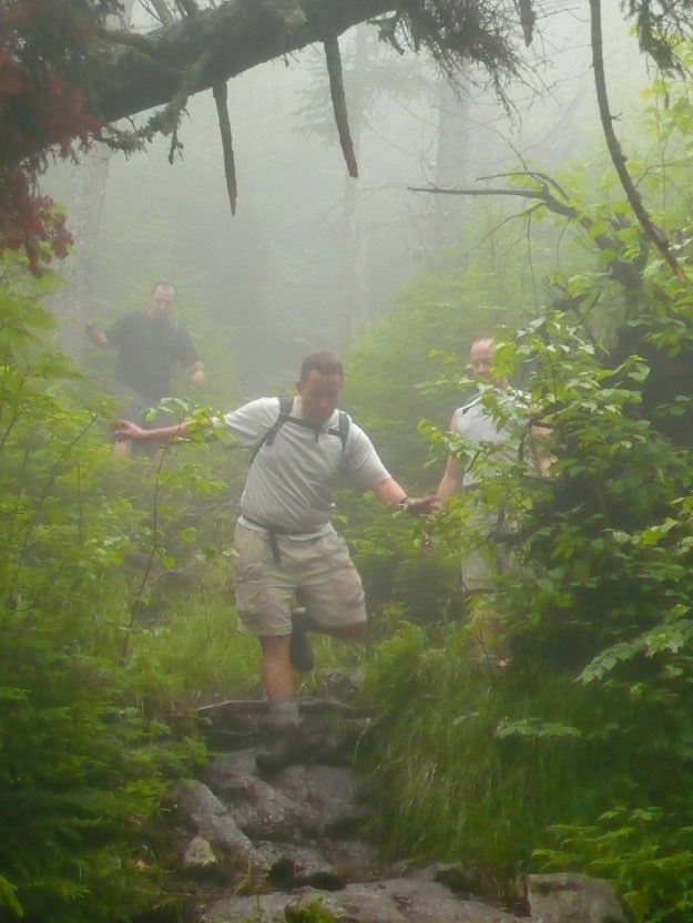
The rain and fog came in, making the rocks slippery. It also unfortunately forced the camera to be put away not too soon after. There honestly weren’t many good opportunities for photos, anyway. The views were quite limited on the summits of Colvin and Blake. There were lots of trees. Perhaps on a sunny day we’d see views through the trees, but not this day.
No pictures on the return trip, except for the end. We were all in good spirits, knowing we were heading to the Noonmark Diner for some massive cheesy/melty breakfast platters.
Monday — The hike back out to the cars — 4.8 miles
A view down to Lower Ausable Lake from Colvin.
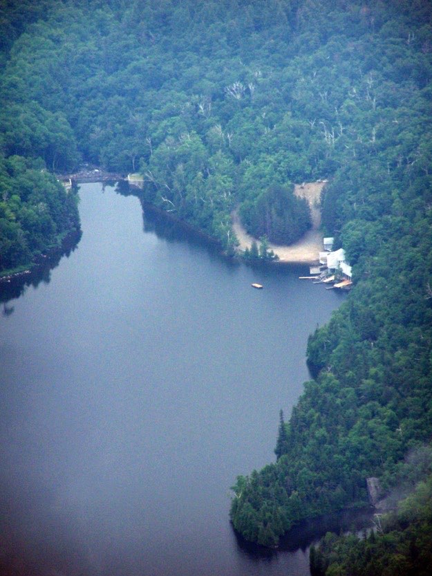
Zoomed in, you can see the Ausable Club beach, and the dam that we crossed over the day before on the way to Sawteeth.
Mark, myself, Andy and Jim pose at the summit of Colvin.
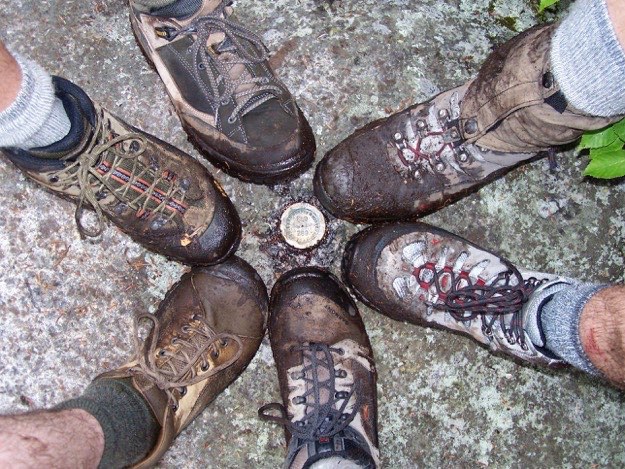
The obligatory boot shot at the summit.
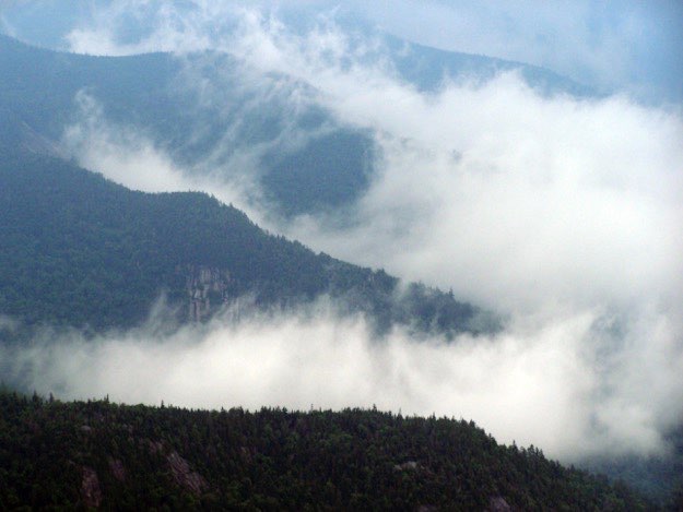
The many fingers of Pinnacle Ridge to the south fight against the attacking clouds trying to advance.
Back at camp that night, we play a game of ‘guts’, where we throw a frisbee at each other, and are dared not to move. It’s a test of one’s fortitude and bravery, (i.e. stupidity). Here is a near-miss for Jim.