The Seward Range
Seward, Donaldson, Emmons and Seymour

The Seward Range
Seward, Donaldson, Emmons and Seymour
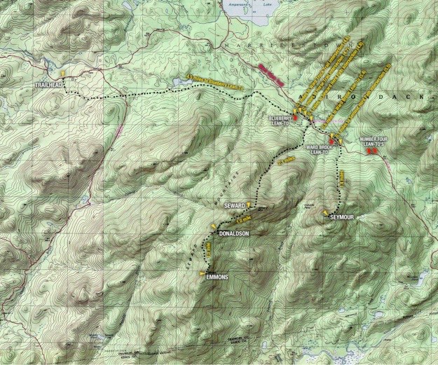
Topographic map courtesy of National Geographic.

July, 2012

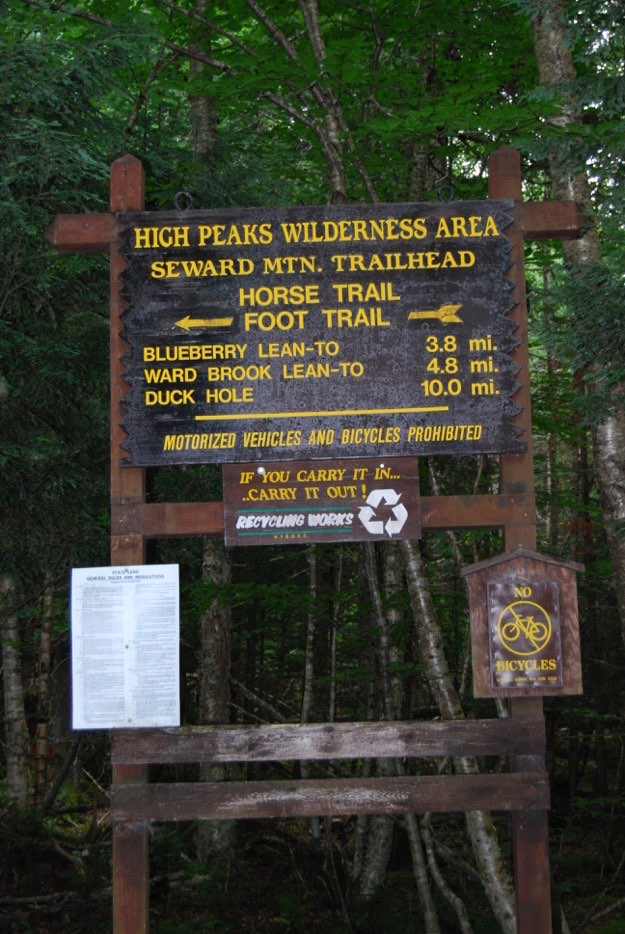
The Seward Range is a group of 4 peaks in the northwest corner of the high peaks region. They are very isolated, and some of the most remote peaks we’ve visited yet. The trailhead is located on Corey’s Road, which is halfway between Tupper Lake and Saranac Lake.
As you can see from the topographic map below, there is only one way to attack the range, if you’re doing the entire range in only one visit. You need to hike in to the lean-tos at the base, and then have 2 separate days for hiking. Day 1 is tougher, climbing 2.1 miles up boulder-strewn paths to reach Seward (24th highest at 4361 ft). But then it is a treacherous descent down to Donaldson (33rd highest at 4140 ft.), and across the ridge to southernmost Emmons (40th highest at 4040 ft.). Now that you’ve gotten all 3 of those peaks, guess what? You have to go back the way you came, and hike up Donaldson. Worse even still, you have to ascend through steep chimney-like boulder slides up the back of Seward again. It is exhausting. So even though you got credit for 3 peaks that day, you actually climbed up 5! Then it is a long, slow and incredibly technical decent down Seward.
Day 2 is a shorter 1.4 mile climb up the lonely Seymour (34th highest at 4140 ft.). The trail is quite surprisingly different than it’s next door neighbor, Seward. Instead of a boulder-strewn streambed, it is mostly a soft dirt trail, which was nice. But, there were tons of slippery tree roots to navigate, so caution was necessary. There was a steep section near the top that was a wet rock slide, which required slow navigation though...
Planning this trip was difficult, in that I didn’t know if it should be a 3-day trip, or a 4-day trip. I trusted that my training would be sufficient enough for me to do this range in 3 days, so we went ahead with that more ambitious plan. Here is the result of that, in detail...


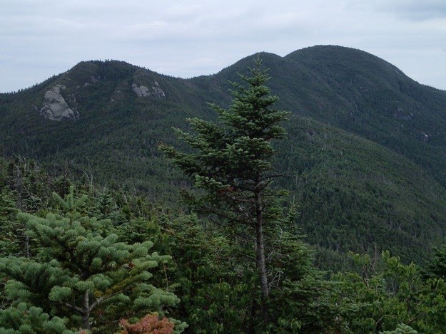
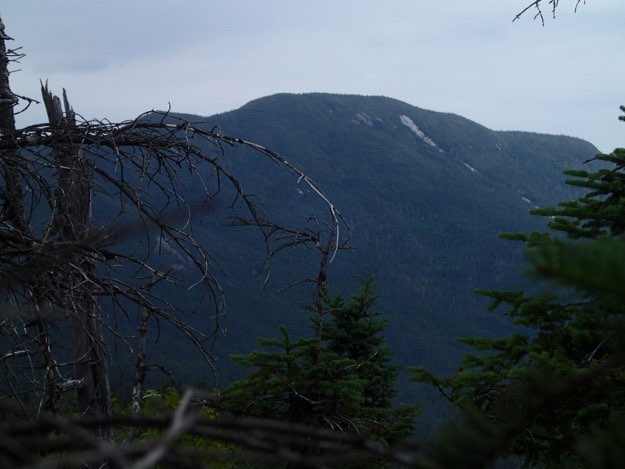
From let to right, Emmons, Donaldson, Seward and Seymour, as seen from Couchsachraga to the south.
Emmons
Donaldson
Seward
Seymour
(Part of my Original 46er quest)
CAMPSITE

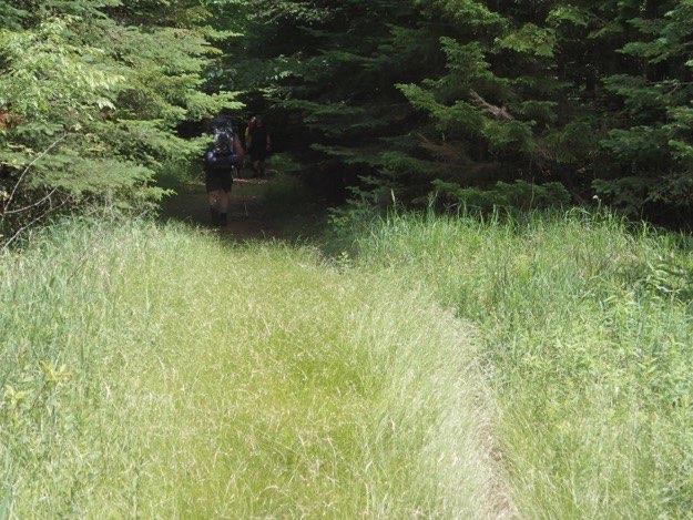
The trail meets up with the Ward Truck Trail in a delightful grassy clearing.
The end.
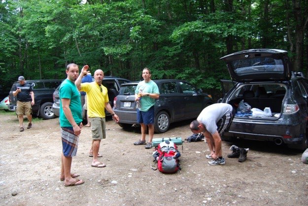
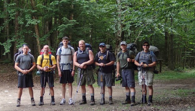
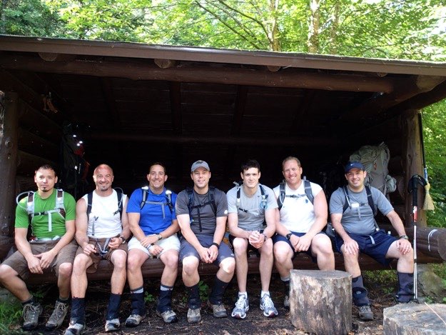
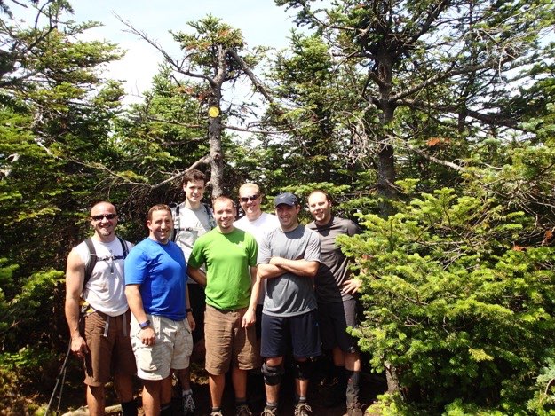
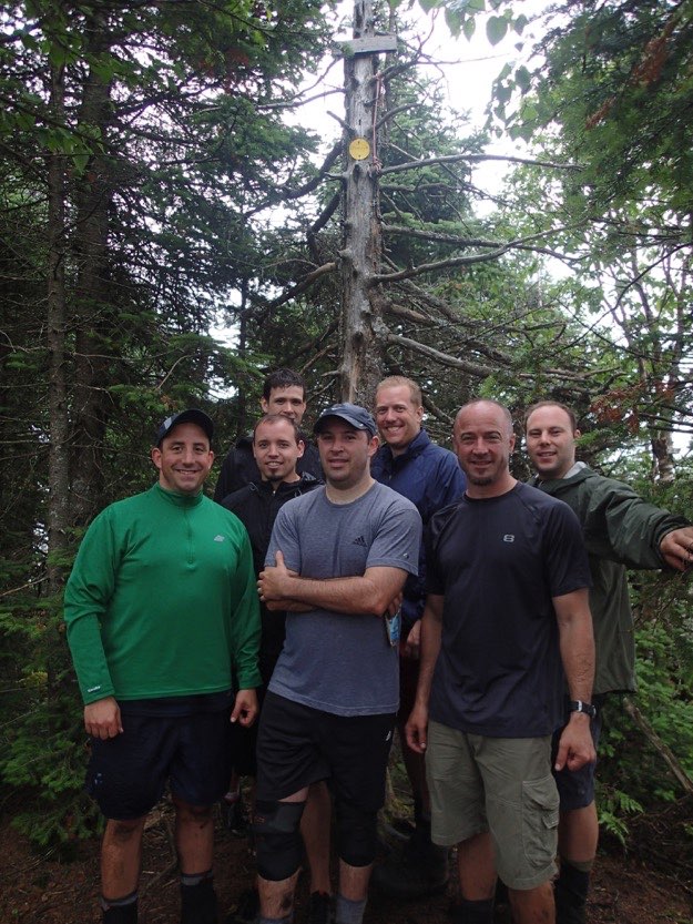
Jonathan, Jim, Pete, Andy, Mark, Tanner and myself, (from left to right).
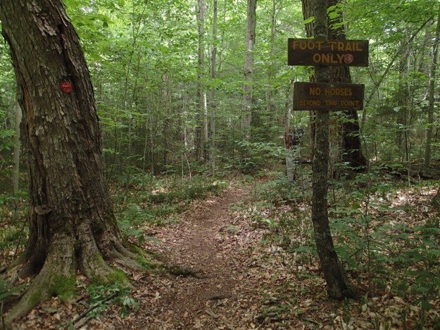
The left turn onto the red foot trail, which goes parallel to the horse trail.
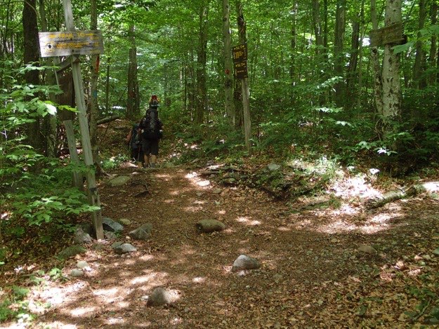
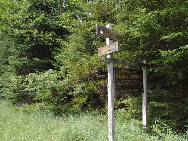
1.2 miles in, we cross over a private logging road, that leads to Caulkins Brook. We kept going straight.
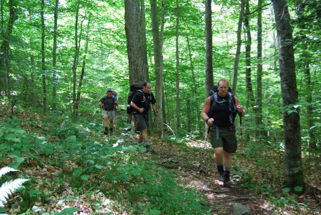
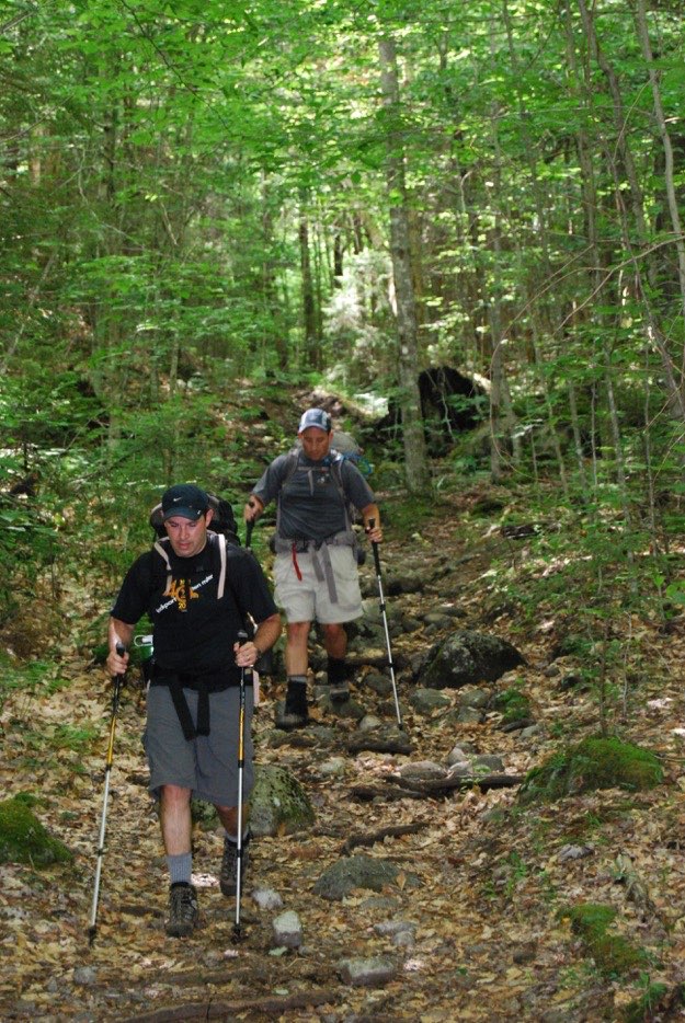
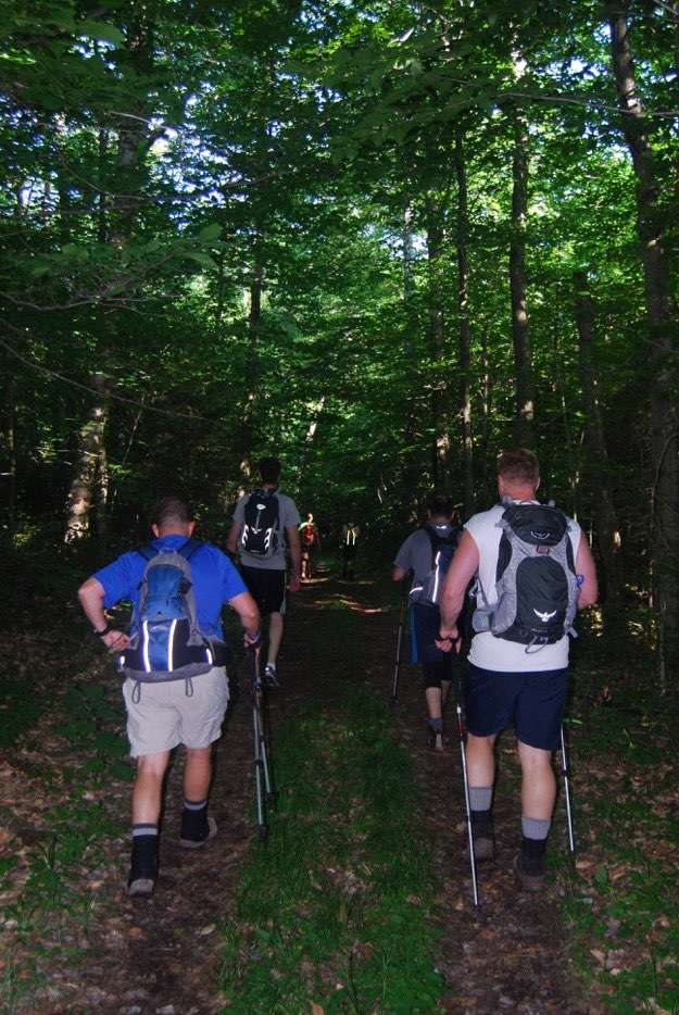
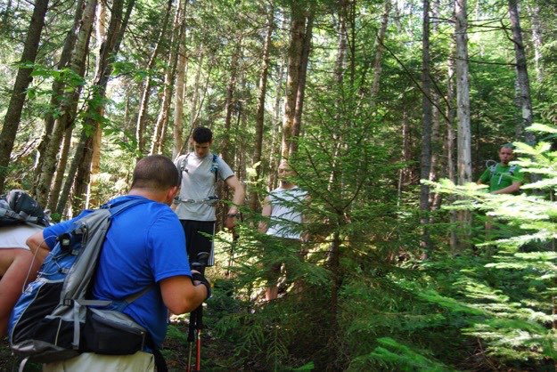
Andy, Mark and I hiking along the undulating forest path.
Mark and I descending a rocky section.
Back into the dark woods on a nice wide trail.
Thursday – the hike in to camp — 6.1 miles
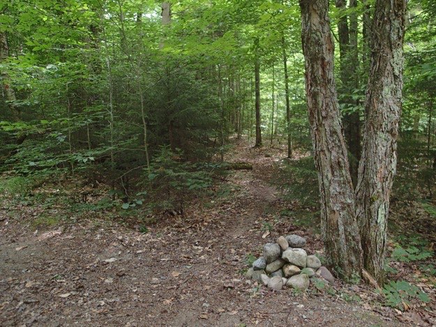
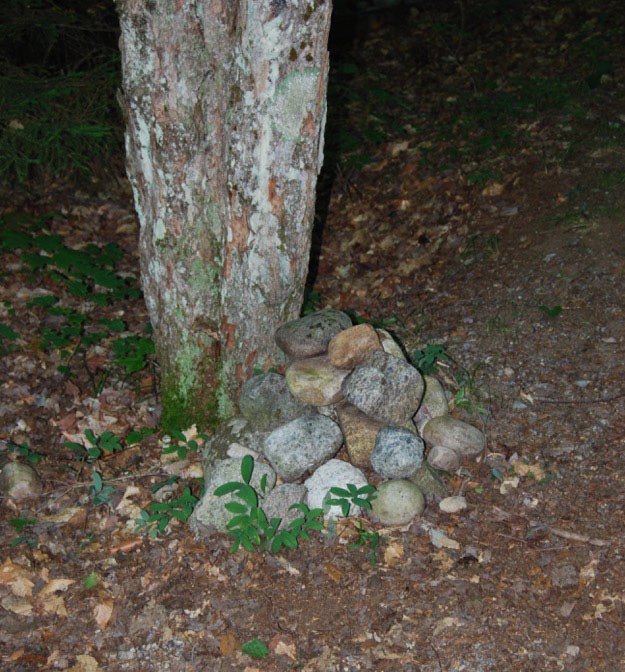
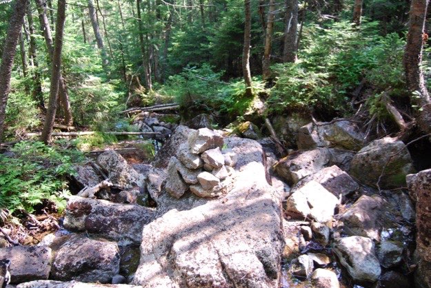
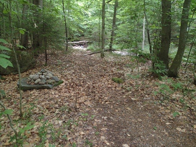
This cairn on the side of the trail indicates the turn off for the herd path up Seward, then Donaldson, then Emmons, which we’d take the next day.
This trail is the herd path up Seymour, a trail which we’d take in 2 days.
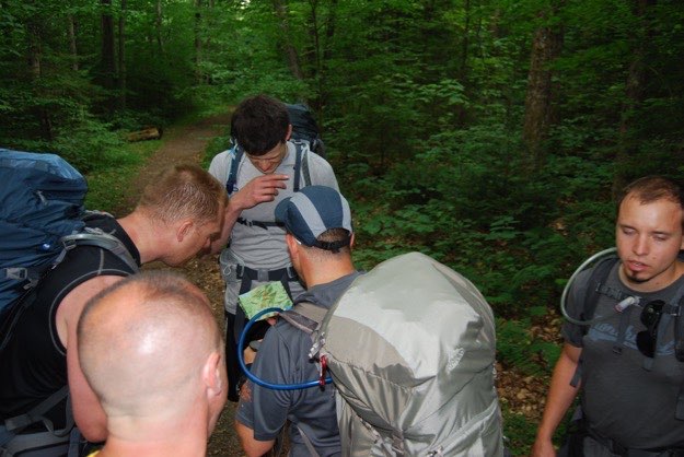
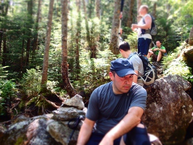
Taking a break to consult the map.
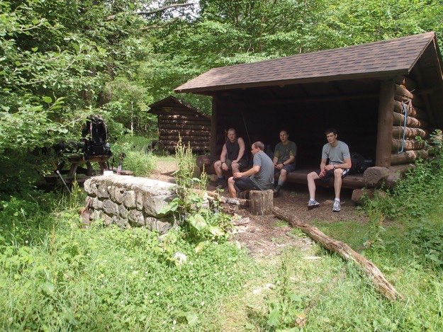
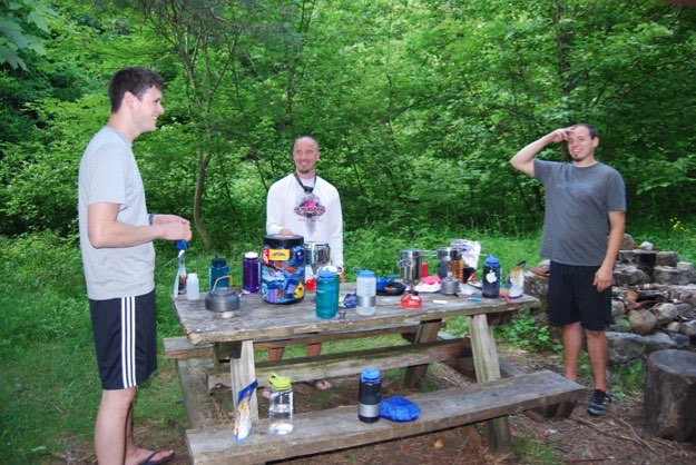
Our new base of operations! the Camp Four Lean-tos. These were the most luxurious lean-tos we’ve ever seen, with brand new roofs, paint, fire pits, picnic tables, a saw, and a full-size broom! I’m surprised there wasn’t maid service! We had them all to ourselves, so it made the extra bit of hiking totally worth it.
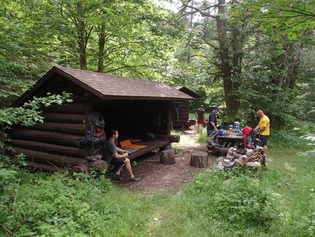
Unpacking and settling in.
Boiling water with our stoves, for our dehydrated dinners.
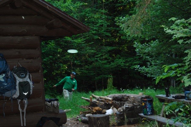
We even had time for a game of catch with a frisbee before it got dark. Here, I threw it right towards Tanner, and it proceeded to hit his lens!
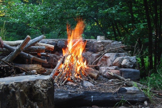
A nice campfire in the fire pit!
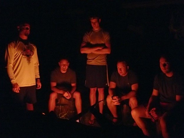
The guys enjoying the warm glow from the fire.
Friday – Seward, Donaldson and Emmons —
9.8 miles
We’re ready to depart at 8:15 AM.
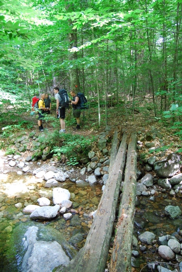
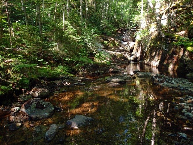
A great stream crossing where we splashed some cool water on our faces.
Mark huffin’ and puffin’ as the trail gets steeper. The flat land hiking is officially over; the climbing has begun.
Still in the taller trees at this stage of the climb, which is thankfully also cooler and in the shade.
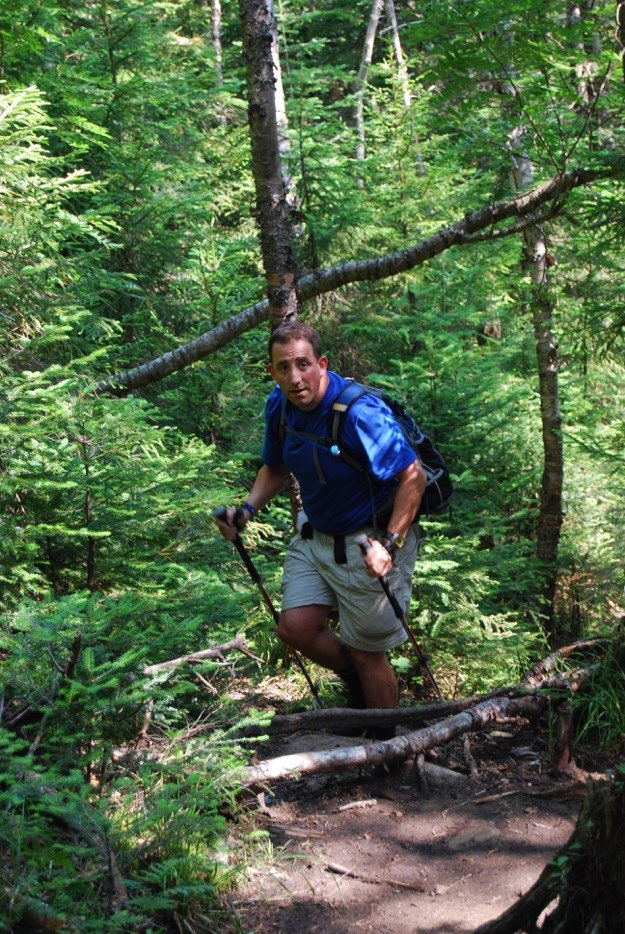
Mark is not appreciating my timing with the camera, as he takes a break on a boulder.
Looking down the trail, (which is a bouldery stream bed), you can see a cairn for us to know for sure that we’re on the trail still.
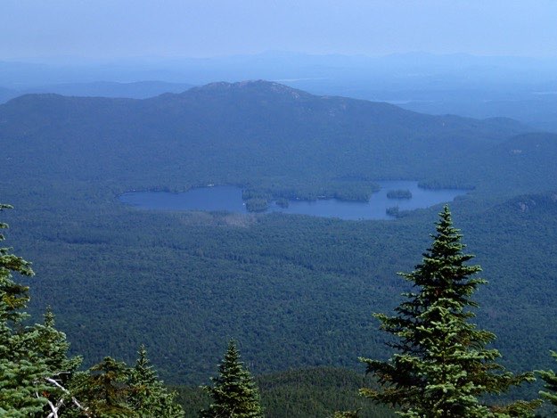
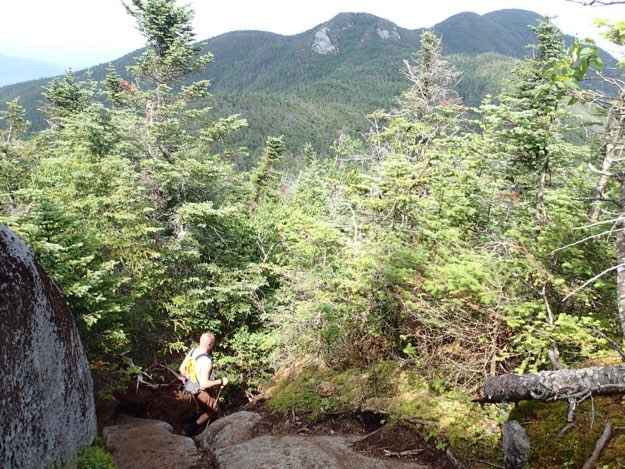
We’re high enough now to finally get some views. This is looking north towards Ampersand lake and Ampersand Mountain just behind that. even further is Saranac Lake and some other distant mountains.
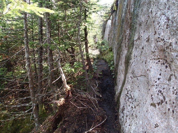
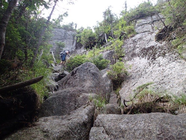
The rock headwall that forces us to go left, nearing the summit of Seward. Jim can be seen way off down the trail, if you look carefully.
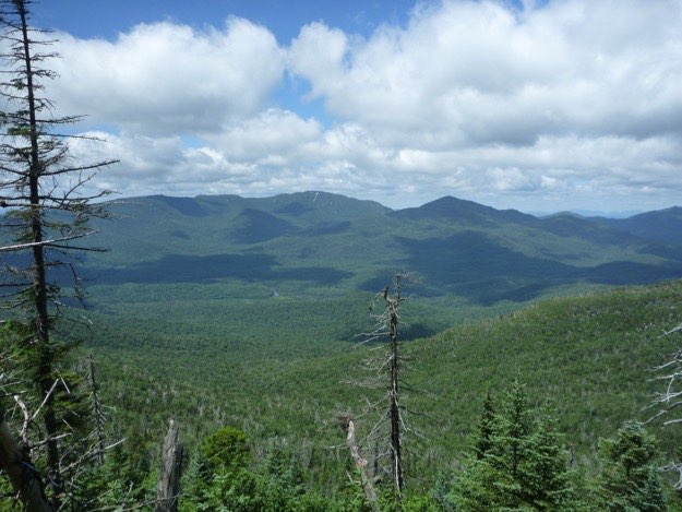
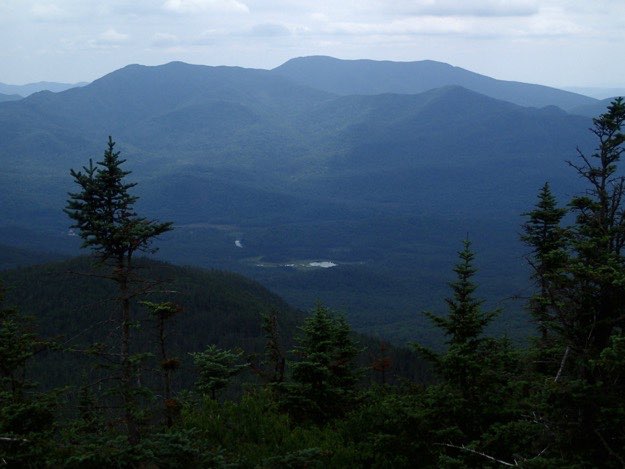
Shortly after the summit is this view south where you can see Donaldson (middle), and Emmons (far left). Way off in the distance is Long Lake.
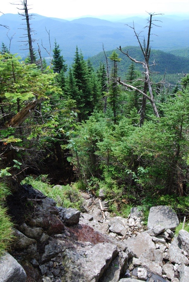
This boulder field at an insanely steep angle down into the dark woods is actually our trail. This should be fun to climb back up on the way back! (not).
Here I am on an outcropping on Donaldson, looking west.
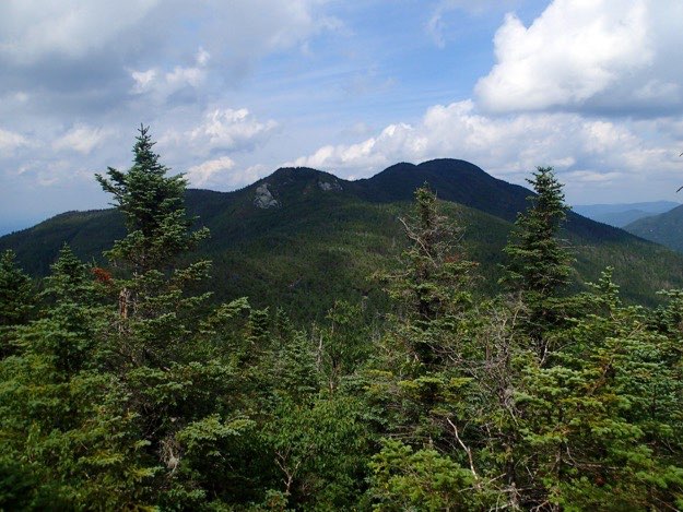
This is the view back towards Seward, where we just were. The tallest hump on the right side is Seward’s summit.
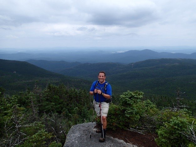
Made it to Donaldson’s summit.
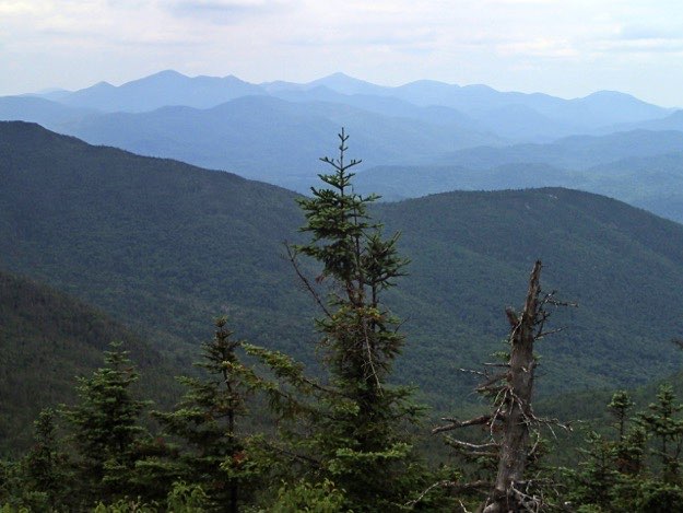
The view east towards the central high peaks region. I’ve marked the ones I know for sure, although there are certainly others in there that I know, but just couldn’t Identify.


The Santanoni Range to the south.
Panther
Santanoni
Couchsachraga
Seward on the left, Seymour on the right.
Then south for another mile to Emmons...
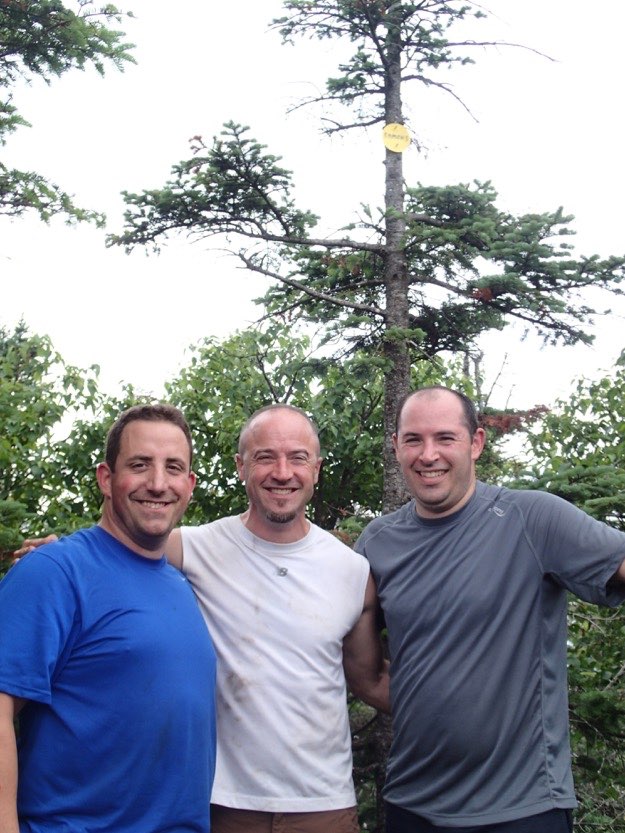
The three Cammarata cousins on top of Emmons.
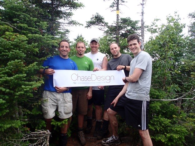
The five hikers from ChaseDesign on the summit of Emmons.
Seward from Emmons. The southeast-facing rock slide is visible from this angle.
Then back over to Donaldson, and then over to Seward again!
Jim descends off Donaldson, on his way to Seward in the distance northward.
Another beautiful, if not imposing view of Seward. Looks like it’ll be a tough climb back up to Seward!
Mark climbs a particularly steep and rocky section up the back side of Seward. We’re nearing the summit, thankfully. Then we can climb all the way back down to the lean-to and be done for the day.
Saturday – Seymour, and the hike back out to the trailhead — 8.9 miles
The trail up Seymour begins here, (note: photo was taken on Thursday; see the sunshine? It wasn’t sunny when we hiked up this path. It was raining hard, and therefore my camera wasn’t out. I have no pictures of the hike up, sorry!)
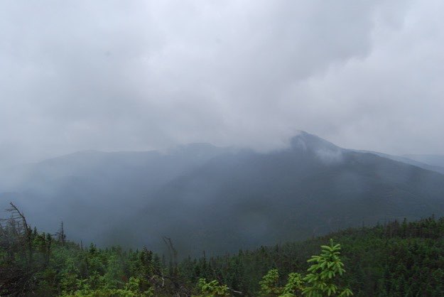
All of the sudden, (and 2 hours later), Ta da! we’re at the summit! In the misty drizzle that exists inside clouds, which is exactly what we were.
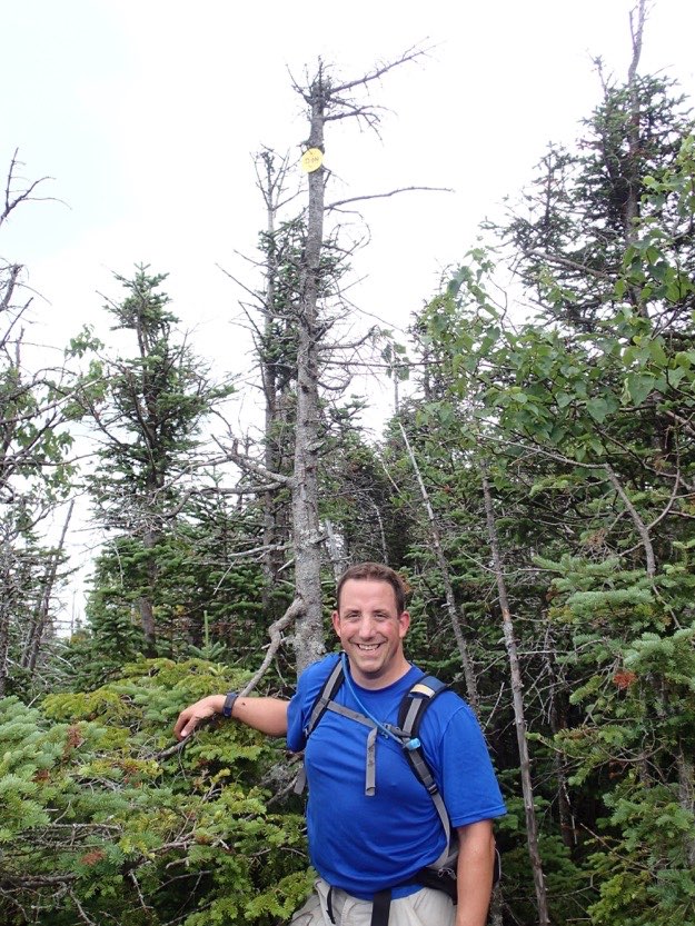
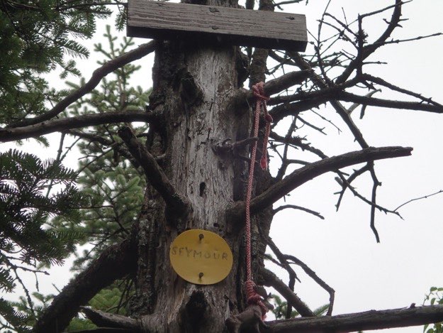
The marker for Seymour.
Our view of yesterday’s hike, (notice the rain drops on the lens). There are views to be had on Seymour, certainly, but the rain this day made the camera stay stashed away, unfortunately.


Packing up the cars, with fresh, dry clothes on. We’re outta here! Time to head to Tupper Lake’s Main Street Diner for some high-calorie comfort food!
One of the many stream crossings. This one was in need of repair. One of the three logs was broken and useless; the other two were spongy and on their way to failure...
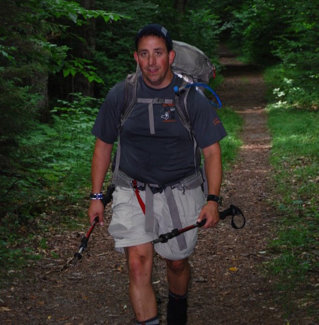
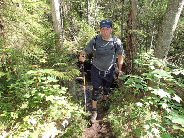
This is how I look after hiking 5 miles with 43 lbs. on my back, in 85 degrees, with 95% humidity... just in case you were curious.

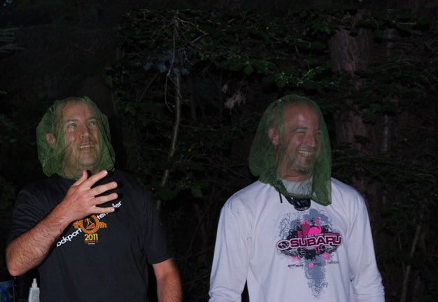
Mark and Jim were verbally and severely taunted for their less-than-fashionable bug nets.
Heading up the double-track toward the Seward trail turn off.
The cairn telling us that we’re at the Seward herd path. Time to turn left (south), and head up, up, up!
Sometimes we get a break, and the trail is softer dirt, but there are always slippery roots ready to either make you slip, or to trip you...
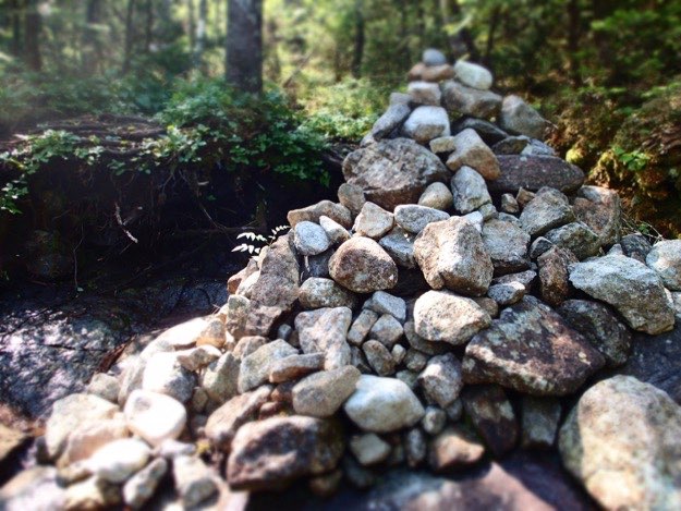
A massive cairn that, for some reason, reminded me of Jabba the Hutt.
SUCCESS! We finally reached the summit of Seward. It is treed-in quite a bit, and didn’t offer many views.


I remember the trail up Seymour being a very different one than Seward. Where Seward was the pretty typical hiking-up-a-bouldery-streambed kind of hike up, Seymour was much more often a dirt trail with exposed roots and moss. It was also tougher to follow. Remember, these are unmarked herd paths in the Seward Range. We never got lost on our hike the day before, doing Seward, Donaldson and Emmons, but we DID get off-trail halfway up Seymour. If it weren’t for my GPS, we would’ve had to back track down the mountain to pick up the trail again, but we were able to bushwhack over to the trail. Luckily, I had the GPS tracklog for this trail, and quickly was able to get us back on the right path again, (phew).
The summit of Seymour is wonderful. It has a flat top, with a forest on top, so hiking over to the summit marker is a delightful walk through the woods. While there weren’t too many great views that day, due to the low clouds, the summit is a place I’d love to spend more time on, on a nicer day...
Fast-forward 3.5 hours later, and voila! We’re back at the trailhead!