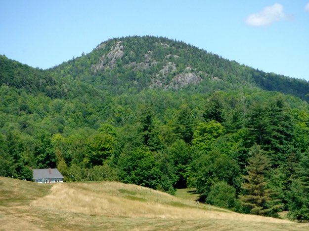
Snow Mountain

(Not one of the 46 high peaks)
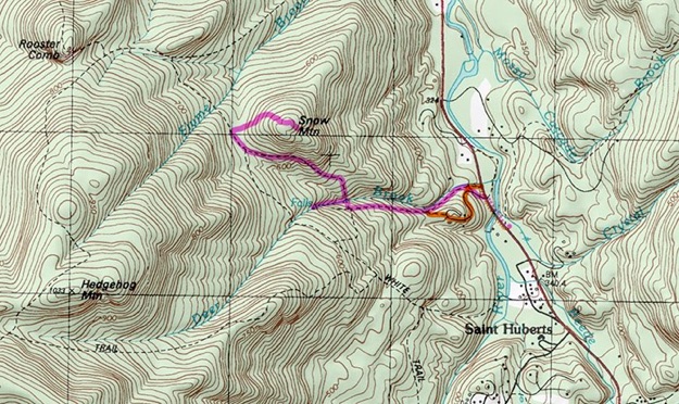
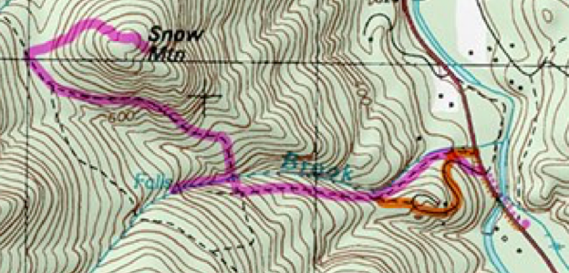
Topographic map courtesy of Topozone.
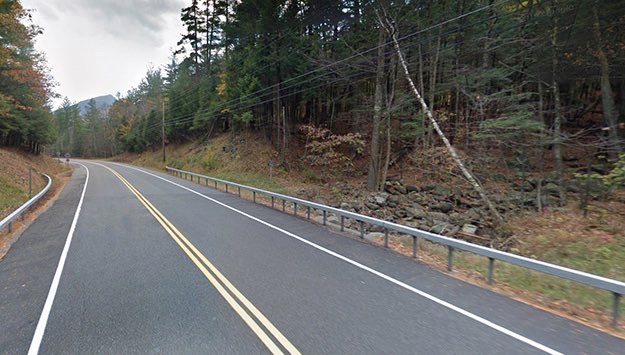
Continuing to look outside of the well-traveled 46 high peaks, we found this hidden gem in the heart of the high peaks region. I say hidden, but it really isn’t; it’s hiding in plain sight halfway between the village of Keene Valley and St. Huberts, right on the main road, Route 73. If you’ve hiked a few of the high peaks already, chances are you’ve driven past the trailhead many times without even noticing it.
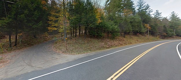
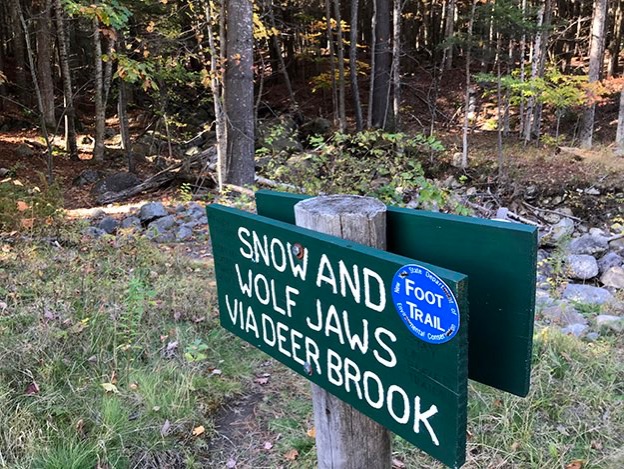
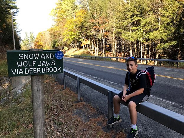
This is a really great shorter day hike that is family and dog-friendly, with a rich payoff of amazing views. Depending on the way(s) you take up and down, it can also vary from pretty easy, to more strenuous. As you’ll see by the map below, there are a couple ways you can take. One is the more scenic, and more challenging path that crisscrosses the boulders and pools of Deer Brook. This more official trailhead is shown by a green painted trailhead sign with white type, behind the guardrail on Rt. 73. This route is the more strenuous one that leads up the valley created by Deer Brook.
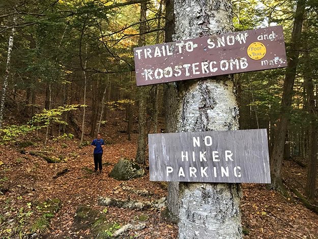
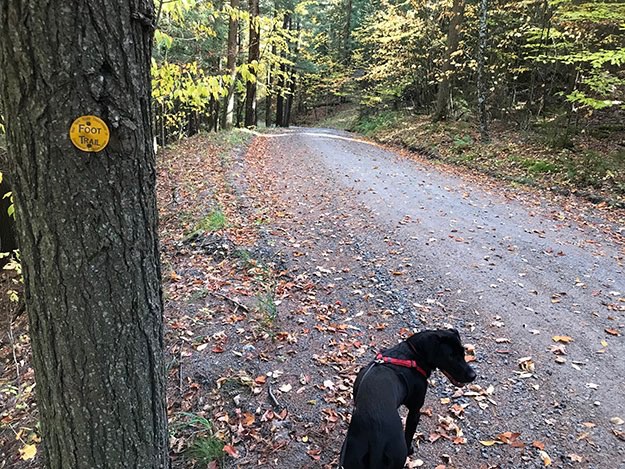
The other trailhead is the gravel roadway/driveway that is easier, but less fulfilling. There is a brown sign with yellow type on a tree, just off the driveway’s edge.
We split the difference, taking Deer Brook up the mountain, then the roadway/driveway down. The hike is about 1.7 miles to the summit, but plan on taking a short detour halfway up to look at the waterfall. It’s only a couple hundred feet off the main trail, and worth the side trip.
The actual summit has some bare spots, but there are many amazing views on either side of the mountain, so be sure to explore once you get up there!
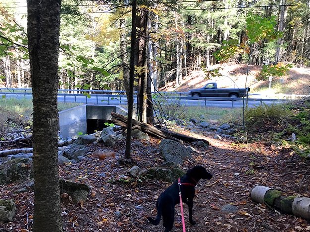
AN IMPORTANT NOTE ABOUT PARKING: both trailheads have no parking areas immediately nearby. There is one across the road, and down about 100 yards. It is a widened gravel shoulder you can park at to access the trail to Hopkins Mountain, and Giant. It’s a quick walk across the Ausable River bridge, and you’re at the trailhead.
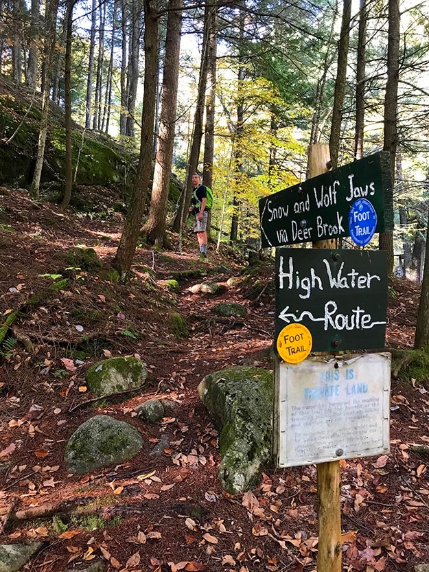
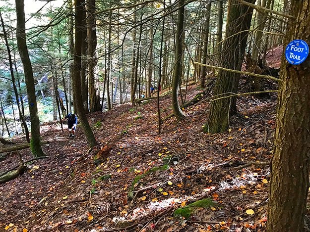
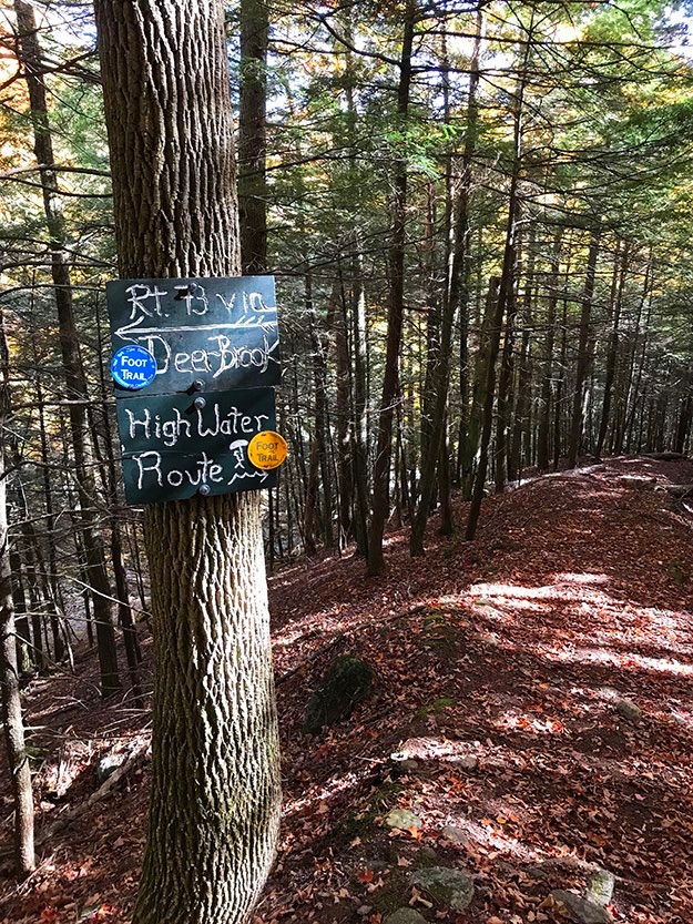
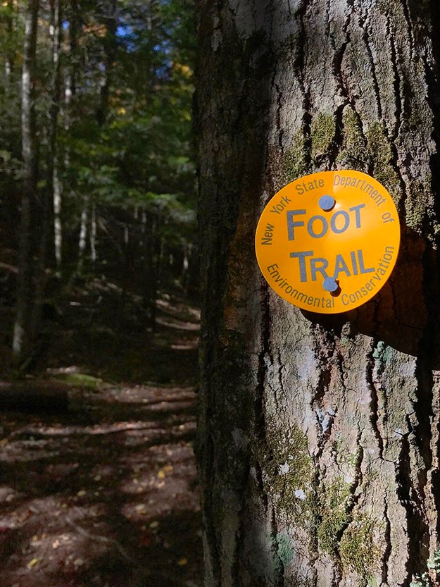
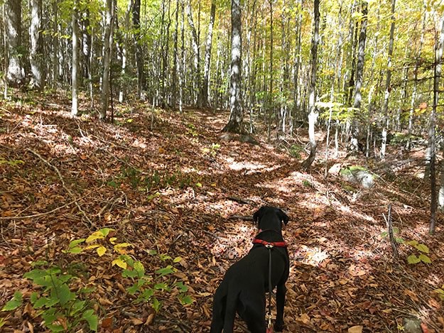
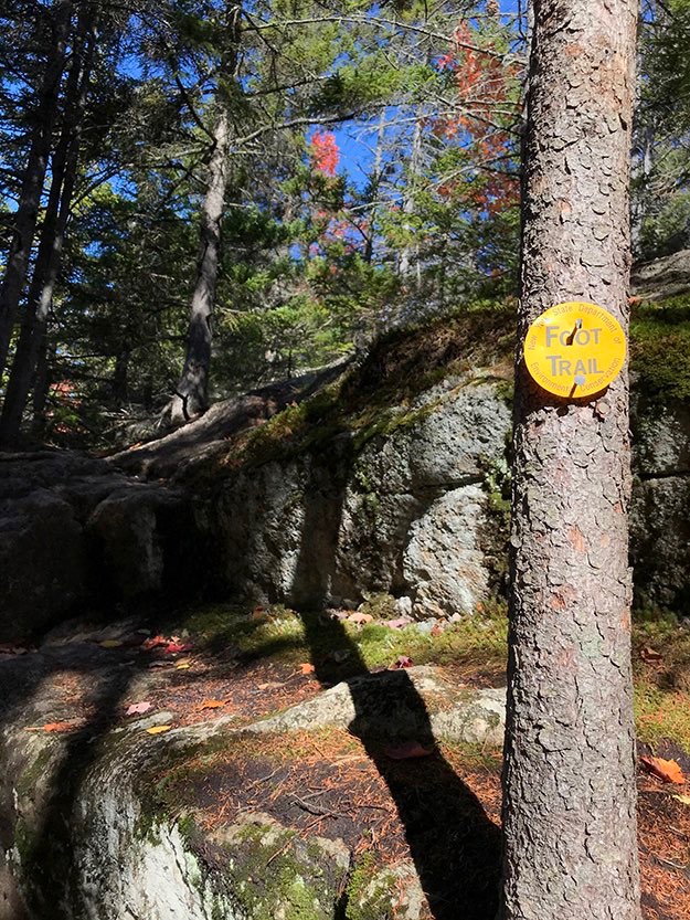
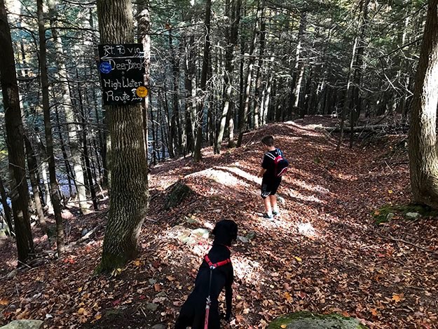
We took the blue trail, the more scenic and strenuous Deer Brook trial. Here, Collin waits for us to get going. The yellow trail is the high water route, when the brook route is too dangerous to take. This sign doesn’t really explain it too well, but the yellow trail is really the gravel driveway that leads up the hill.
Nate leads Alex and Collin back across Deer Brook once again.
The End.
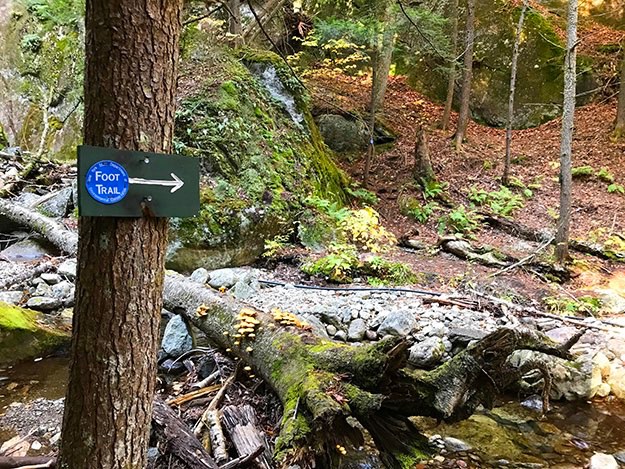
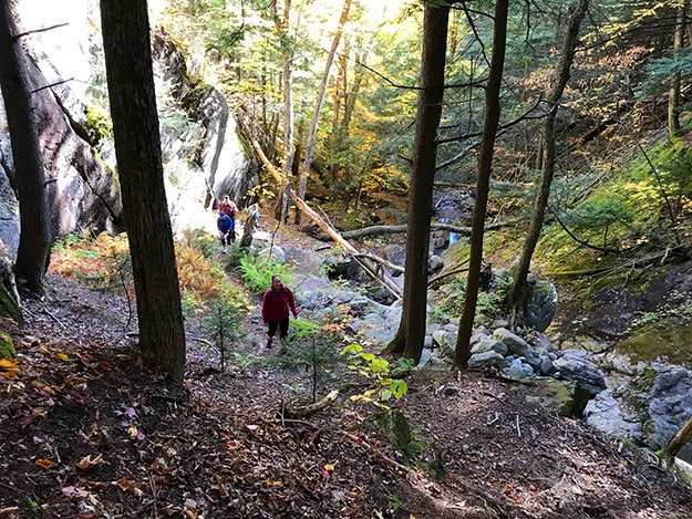
The trail criss-crosses the brook many times. This is the first crossing. Note the blue trail marker circled on the other side, on a thin tree.
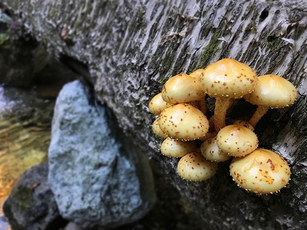
Lots of interesting sights to see on this route. Here, some fungus grows out of a downed tree across the brook.
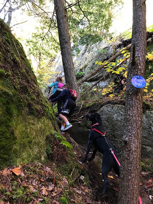
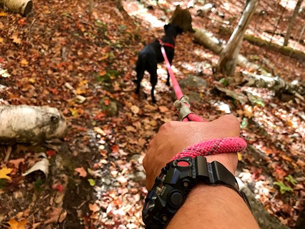
Lexi leads Nate and our dog Leia up a steep pitch between some big boulders.
Nate poses for a photo after triumphantly scaling that steep section.
Lexi waits as I follow Leia through a jumble of random boulders.
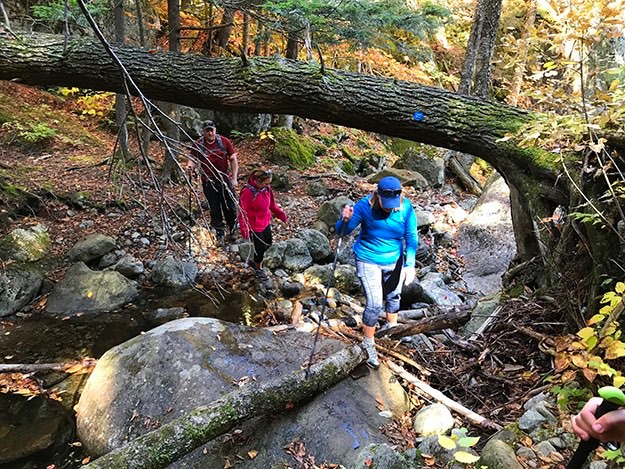
Karen leads Jen and Andy across Deer Brook under another downed tree.
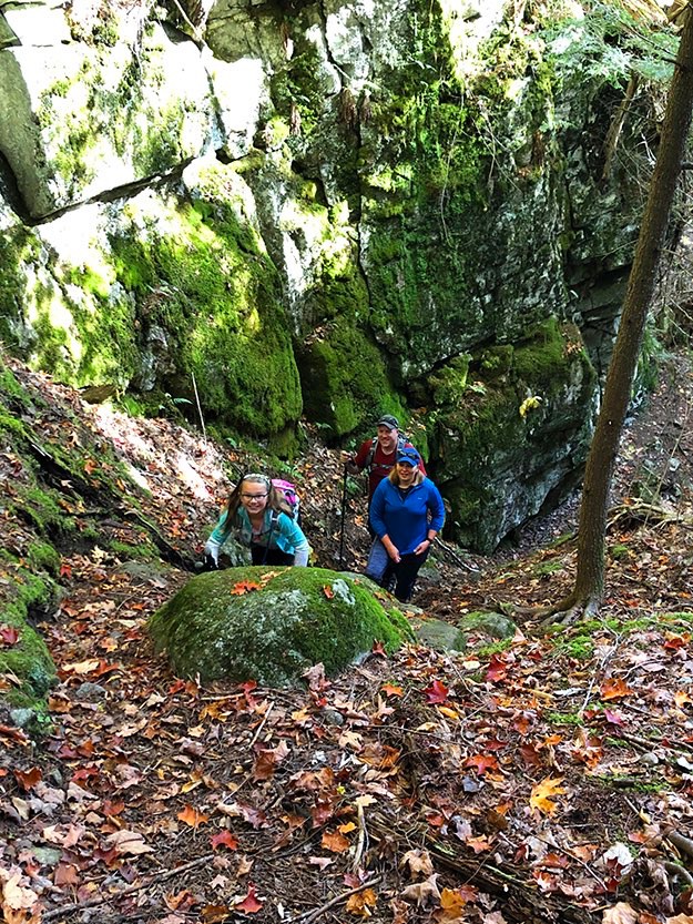
Lexi leads her parents up the steep crevice.
We’re starting to climb out of the valley now, onto the hillside.
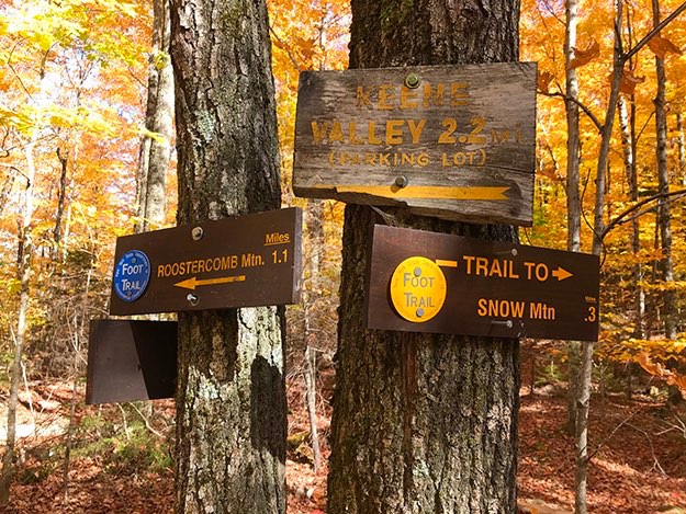
At the top of that rise, we meet up with the yellow trail, the high water safer trail, which came up from the driveway access road.
We’re now following the yellow trail up the hill on a wider track that may have been a primitive dirt road.
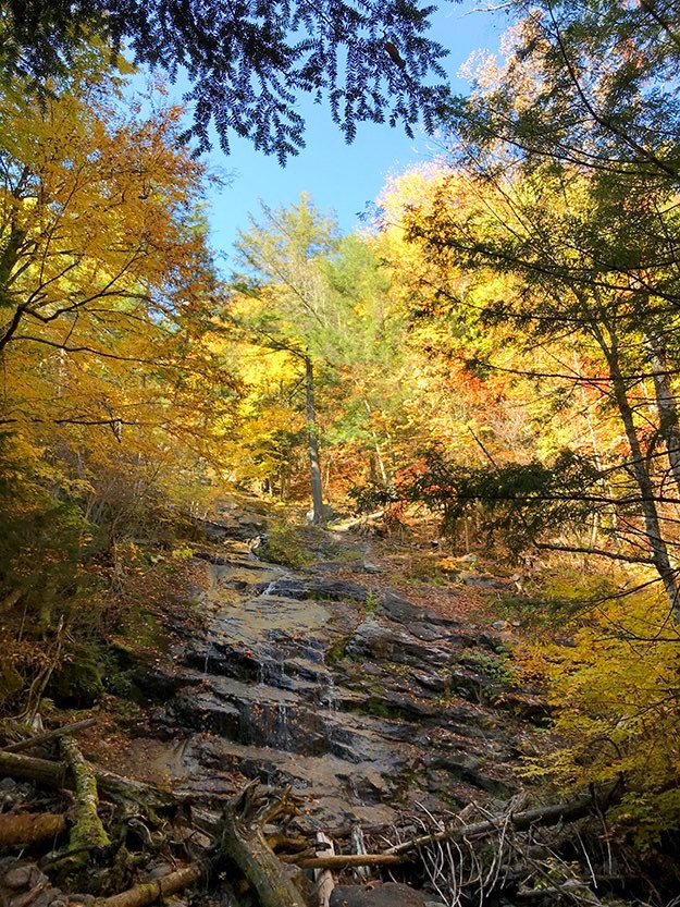
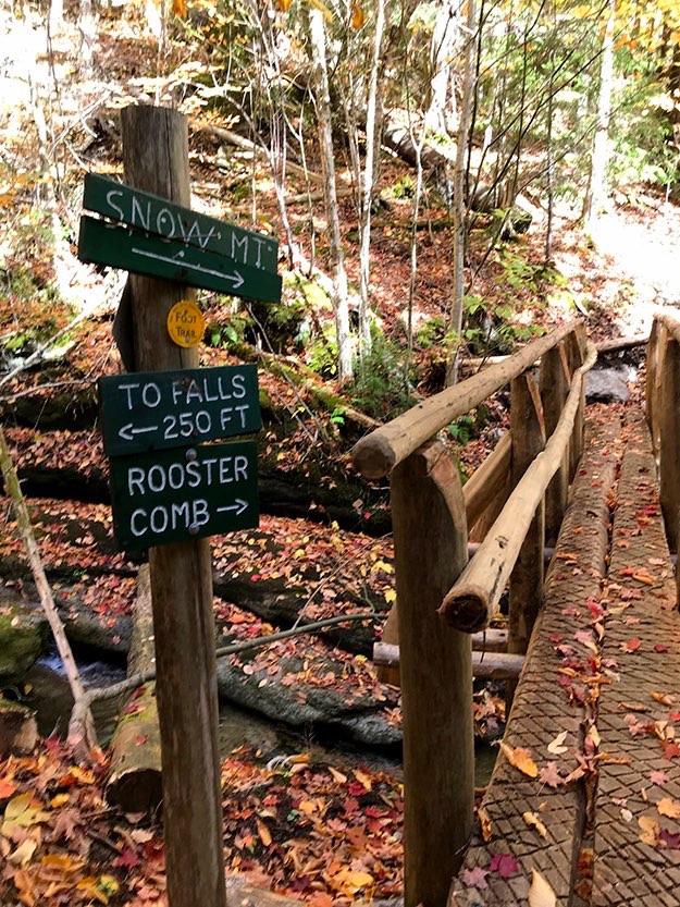
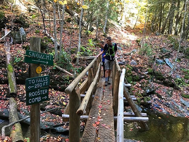
Soon, we came across a nice log bridge across Deer Brook. But instead of continuing on, we first went to check out the waterfall to the left. It was only a couple hundred feet away; well worth the little side trip.
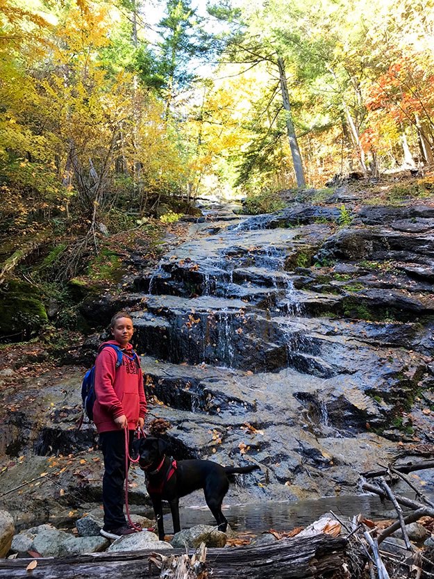
The falls weren’t flowing with much more than a trickle, but if you look at the piles of dead trees at the base, you get a sense that in the spring melt and heavy storms, there must be a strong flow.
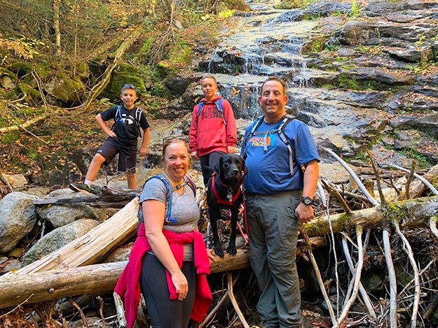
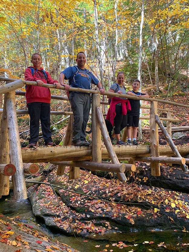
Then the family photo on the bridge.
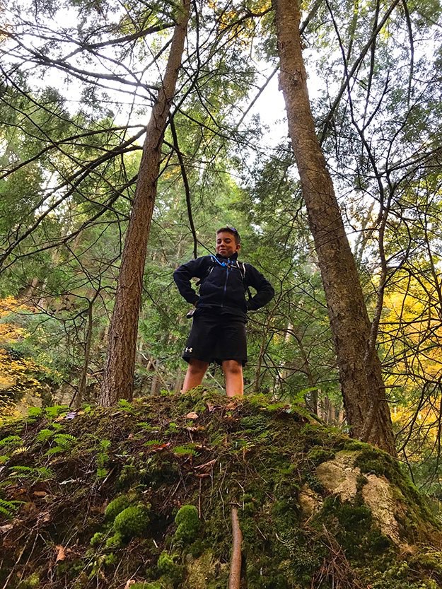
Nate stands at the top of the false summit.
The next tenth of a mile was delightfully flat and easy path through the forest.
Here was our right turn to get to the summit of Snow, only 0.3 miles up. Notice that we’re switching back to the yellow trail markers again...
Nate is climbing up the path, (he’s a bit difficult to spot, but he’s there...)
October, 2019

WATERFALL

PARKING

OFFICIAL TRAILHEAD


DRIVEWAY TRAILHEAD
PARKING


DRIVEWAY
TRAILHEAD
OFFICIAL
TRAILHEAD


SUMMIT
WATERFALL

Zoomed-in a bit more

DRIVEWAY
TRAILHEAD
(NO PARKING HERE OR ANYWHERE ON DRIVEWAY)
OFFICIAL
TRAILHEAD
(NO PARKING HERE)


DRIVEWAY
TRAILHEAD
OFFICIAL
TRAILHEAD
(NO PARKING HERE)

A view of the two different trailheads, looking NORTH from Rt. 73
A view of the two different trailheads, looking SOUTH from Rt. 73. Notice the rocks and boulders of Deer Brook near the official trailhead, and that there’s no room to park a car on the road here.

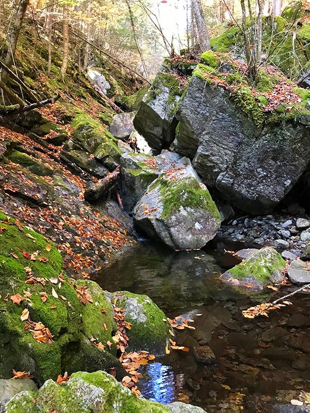
One of many inviting pools along the way; this one with massive boulders from long-ago landslides.
Looking up the trail.
Alex and Leia check out the pool at the bottom of the falls.
Family photo at the falls: Nate, Jen, Alex, Leia and myself.
I stand with Leia, Alex and Nate for a break along the way.
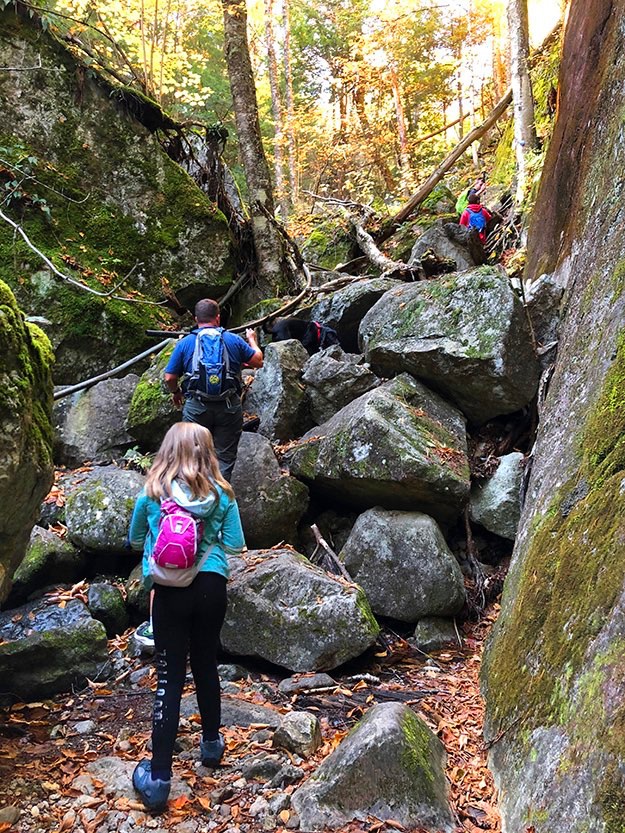
The crevice starts to widen into more of a valley as we get higher up Deer Brook.
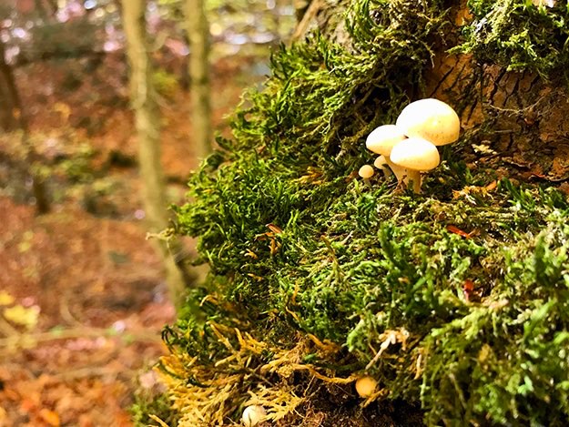
Tiny little mushrooms growing in some moss on a tree. I just thought it was cool...
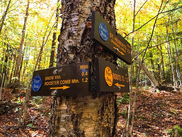
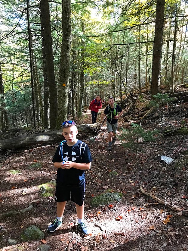
The first major trail junction. We kept going to the right, switching to the blue trail towards Snow and Roostercomb. At this point, we had hiked about 1.3 miles, (perhaps a bit more since we took the side trip to see the waterfall). We had 0.4 miles to the summit from here.
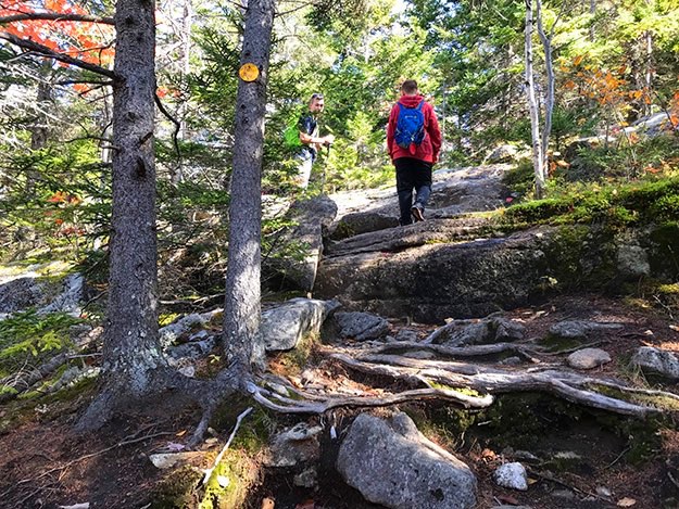
The trail gets a bit steeper, with some step-ups onto the shelves of rock.
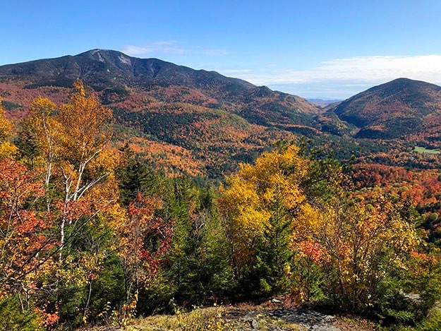
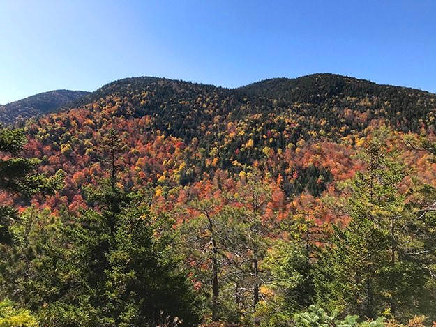
The views start to open up behind us as we ascend towards the summit. Here, we get a neat glimpse of nearby Roostercomb Mountain’s summit. It’s about 1.2 miles away at this point.
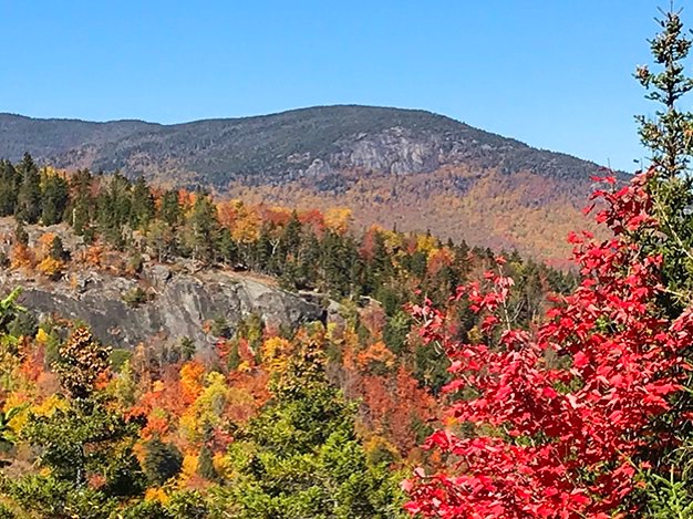
The mountain in the distance is Big Slide.
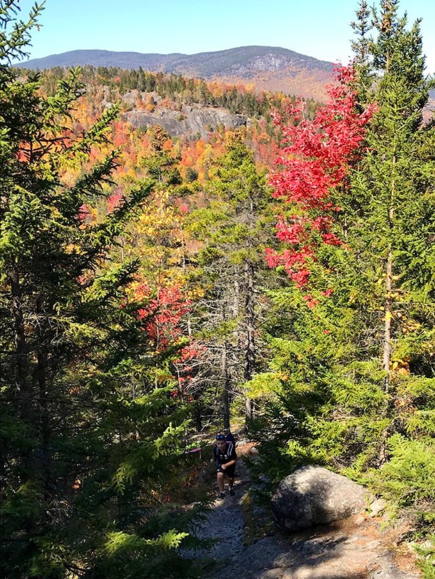
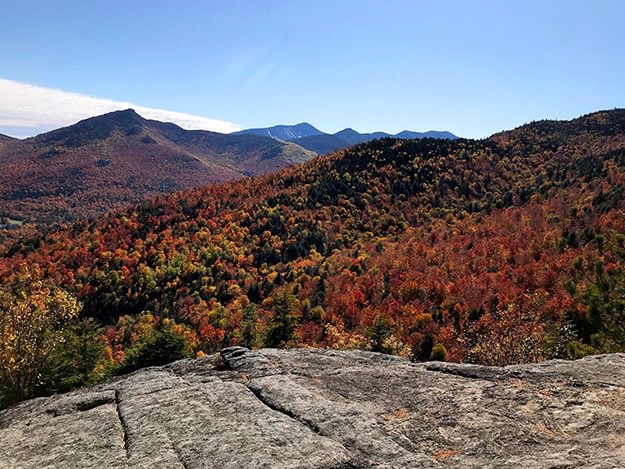
Alex and Collin soak up the views as Nate approaches. Roostercomb is to the left, with Big Slide in the distance on the right side.
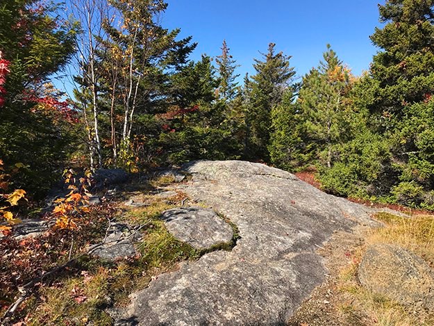
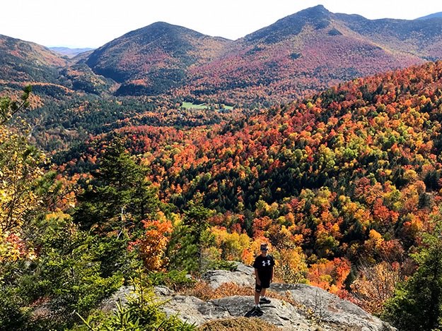
This is the summit of Snow. Not much of a view here, but keep walking eastward, and you’ll be rewarded handsomely with amazing views!
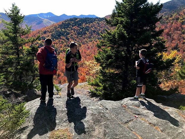
The three boys determine that this is a good spot to put down our packs and have lunch.
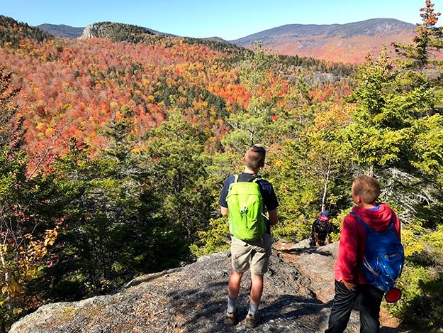
Just check out this epic view of Giant mountain on the left. Round mountain is on the right. In the valley between the two are the distant Green mountains of Vermont. Below Round and on the far edge of the photo is the green clearing that is the golf course of St. Hubert’s.
Continuing to pan to the right, you see the dark and jagged Noonmark mountain, followed by the wavy ridgeline of Dial mountain and Nippletop. The scarred face of Dix Mountain looms in the center, off in the distance.
Nate poses on the rock cliff with St. Huberts and Noonmark behind him.
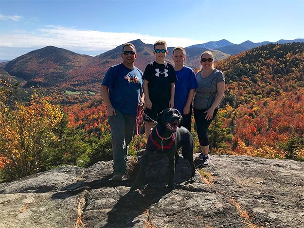
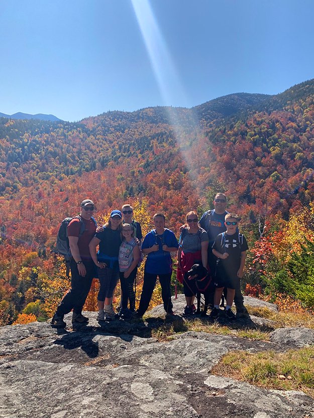
Family photo on the lookout.
Hedgehog mountain next door.
This is the last tougher part of the final climb to all the amazing views.
Heading back down the mountain now, Leia drags me on...
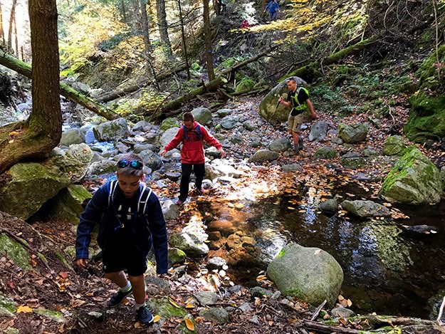
The boys cross back over the log bridge over Deer Brook.
Instead of turning onto the blue trail down into the valley of Deer Brook, we opted to take the easier high water route, the yellow trail straight ahead.
This is the view back up the hill as we emerge from the woods, out onto the driveway access road.
Leia leads the way down the driveway access road/yellow trail.
On the way back down to Rt. 73, we opted to take the blue trail parallel to Deer Brook as it heads to the official trailhead.
Here’s a look back into the woods and the trail, from the official trailhead sign.
Nate chills briefly on the guardrail (while no cars are coming), after completing this epic journey.
All of us at the top. I’m the one being beamed up by some alien spacecraft...
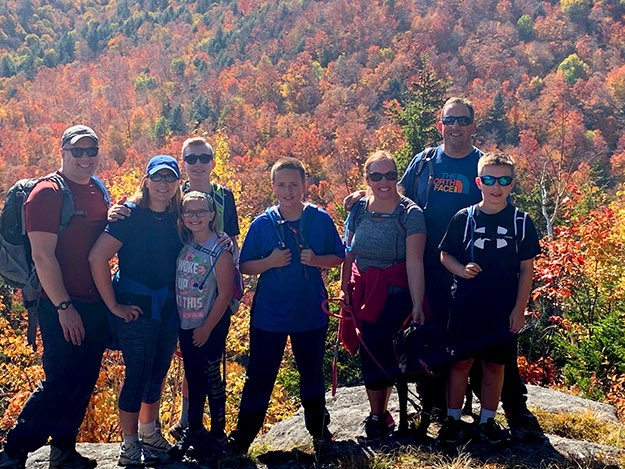
Group photo: Andy, Karen, Collin, Lexi, Alex, Jen, Leia, myself and Nate.
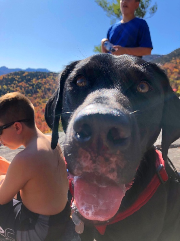
Extreme doggy close-up! As I always say, a hiking dog is a happy dog...
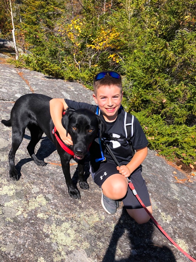
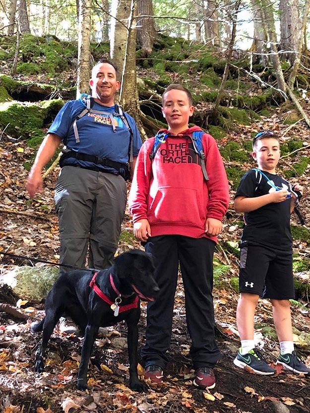
Nate and his hiking pal, Leia.
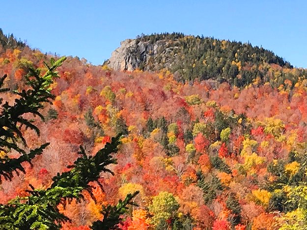
Snow Mountain as seen from the golf course of the Ausable Club at St. Huberts