Street & Nye

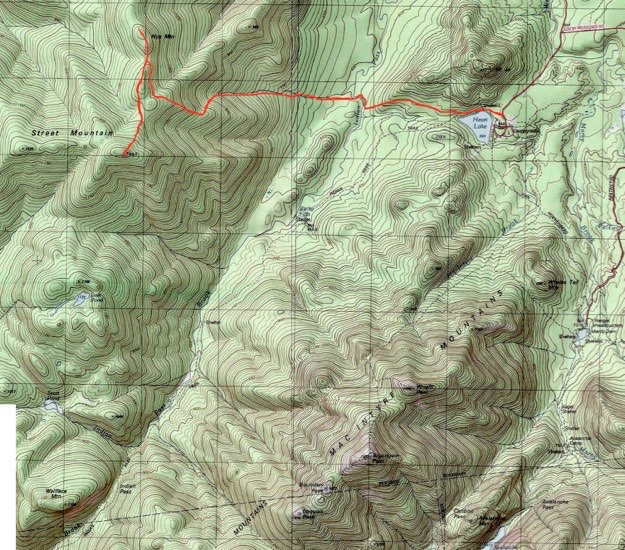
Topographic map courtesy of National Geographic.
TRAILHEAD

October 2007
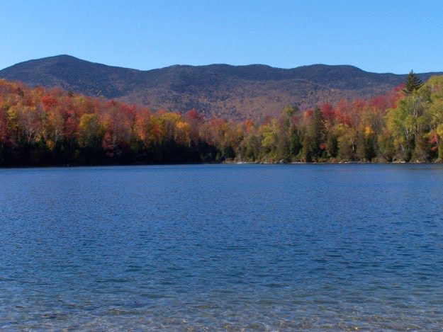
The view to the west of Street and Nye from the beachside dock at the Adirondak Loj on Heart Lake.
The trail to Street (31st highest at 4166 feet), & Nye (45th highest at 3895 feet), starts the same way that the Mt. Jo trail, heading west from the Heart Lake/Adirondak Loj parking lot. We continued on down the Indian Pass trail, then took a right onto the “Old Nye Ski Trail”. From this point on, the trail is unmarked. Street and Nye are “trail-less” peaks, but that just means that the trails doesn’t have official DEC trail markers. The trail was quite easy to follow, even with all the fallen leaves on the ground. Still, I recommend being fully prepared with accurate topographic maps and a compass.
The first hour of the hike is relatively flat, and meanders through the woods to Indian Pass brook. After turning north for a few minutes, the trial turns back west, immediately crossing Indian Pass brook. Make sure to look for little stacks of rocks, or cairns, which help mark where the trail is going.
Heading west again, you follow a stream bed up the mountain. There are no major rock slides or even boulders to climb, which is quite different than any other high peak I’ve yet hiked. Frankly, it was refreshing.
While ascending some of the steepest parts, you come to a place called “the Bump”. This is a huge boulder the size of a cabin, where the trail noticeably turns right at a 90-degree angle. About a half our later, there is a point where the trail seems to split, but it is a false split. When you see this point, just follow the left path. The right split rejoins the main trail fifty yards further up. The left trail you take is easier, and less overgrown. There is lots of evidence of blow-down from storms in the past, but the trail is definitely clear.
Finally, you come to a wide clearing with a cairn, where there is a left trail, (the trail that continues on to Street’s summit), and the right trail, (which continues on to Nye’s summit). We took the trail to Street first.
The summit of Street is in the trees. You will come to a small clearing, which has a large rock for a floor. Look up into the trees, while facing northeast, and you will see the brown painted summit marker.
NOTE: There are two offshoot trails from the summit. One takes you south to a decent viewpoint, but the best one goes east. It leads you down the mountain for about 50 yards, but it is well worth the effort. This is the best view, that looks southeast. There is a nice rock cliff that you can sit on and enjoy your lunch, and dry out your shirt on.
We then hiked back to the clearing, which took all of 15 minutes, along the ridge. It’s another 10 minutes to the summit of Nye, but don’t get excited; Nye has no view. You’ll see a marker on a tree as you face south. Then it’s back to the clearing, and down the mountain. There is one or two descent points where you can see directly east towards Mt. Jo and Heart Lake, which is nice.
Overall, it was a pretty easy hike. It is very dog and kid-friendly, due to there being no major bouldering or rock climbing sections. But, it is on the longish side, as far as distance. It took us a total of 7 hours of hiking, with the 45 minute lunch break included.
The Bump

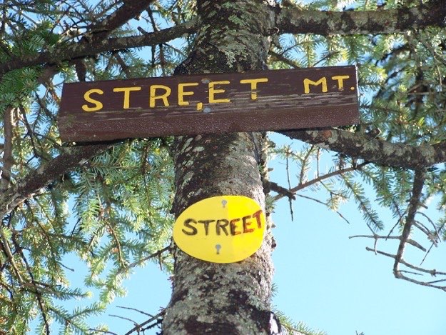
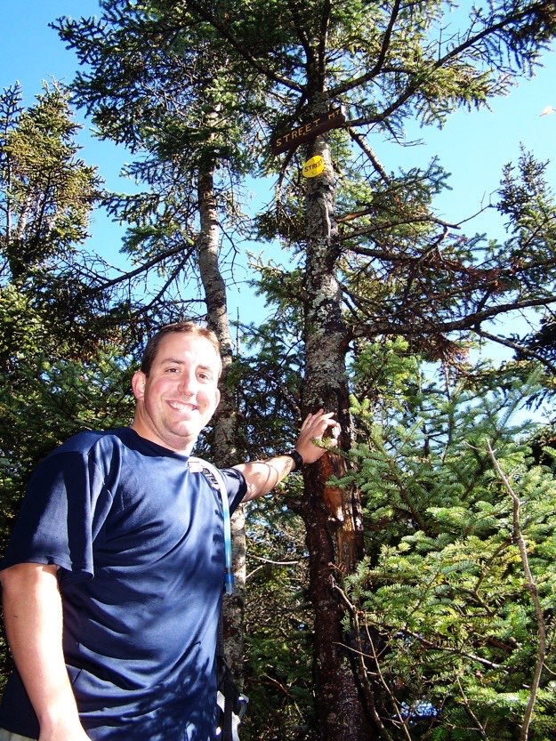
STREET MOUNTAIN

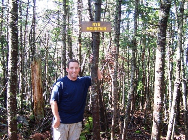
NYE MOUNTAIN

Street
Nye
(Part of my Original 46er quest)
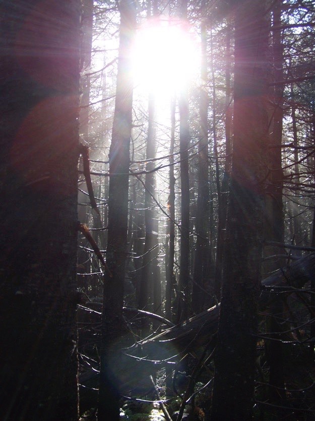
The sun beams through wet pine trees, creating a Tolkein-esque scene.
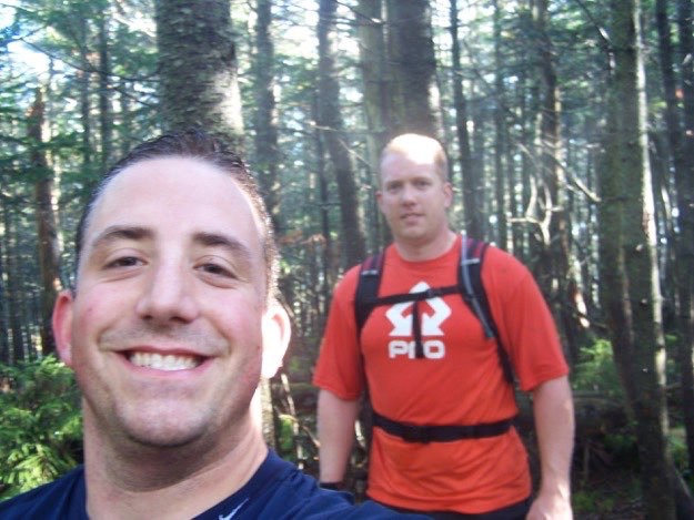
Your sweaty photographer’s first selfie near the top of the ridge, walking through dewey conifers, with Andy behind.
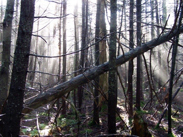
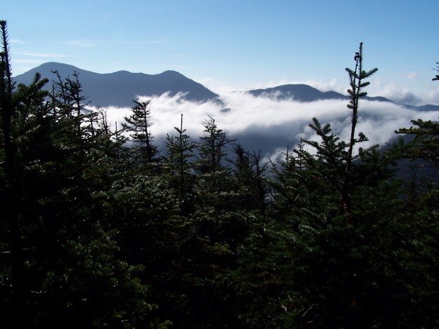
The sun beams were quite striking in the humid air...
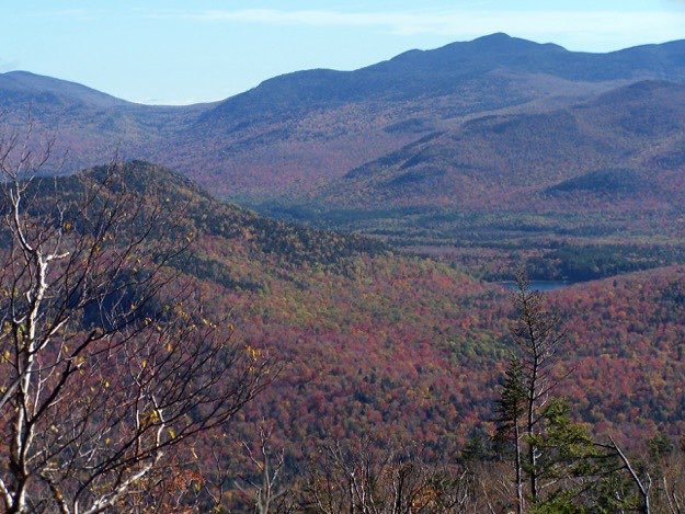
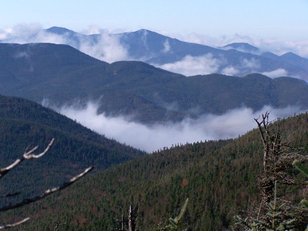
Our first glimpse of the MacIntyre Range. Algonquin to the left, Boundary Peak just to the right, and Iroquois in the middle of the photo. On the other side of Cold Brook Pass, (in the middle of the photo, where the clouds break up the range), is Mt. Marshall.
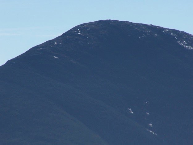
A zoomed-in view of Algonquin’s summit. You can see boulders and possibly even people atop the summit.
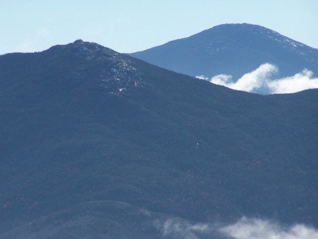
The top of Wright Peak, with Marcy looming in the background. You can also see 3 people atop the summit boulder on Wright.
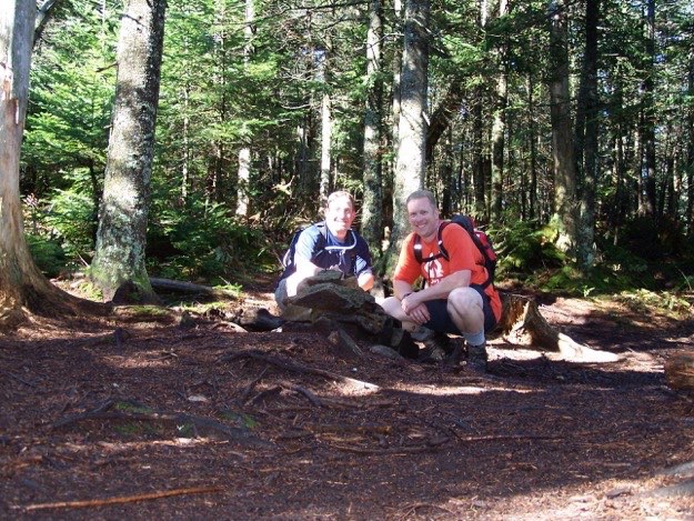
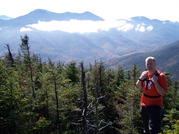
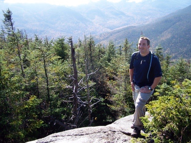
Andy with Indian Pass and the MacIntyre Range behind, from a lookout near the summit of Street.
Yours truly at the same point.
The summit marker(s).
Here we are in the clearing where the trail to Street and the trail to Nye split.
The unremarkable treed-in summit of Nye.
As we come back down the mountain, we see eastward. In the foreground are Mt. Jo with Heart Lake to its’ right.
Crossing back over Indian Pass Brook.
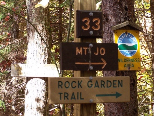
Some of the signs you see at the intersection where the trail splits towards either Street and Nye via the “Old Nye Ski Trail”, (the middle fork), and Mt. Jo’s “Rock Garden Trail” (the right fork).
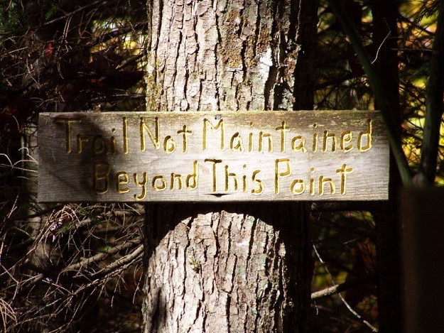
A stern, if not quaint warning.
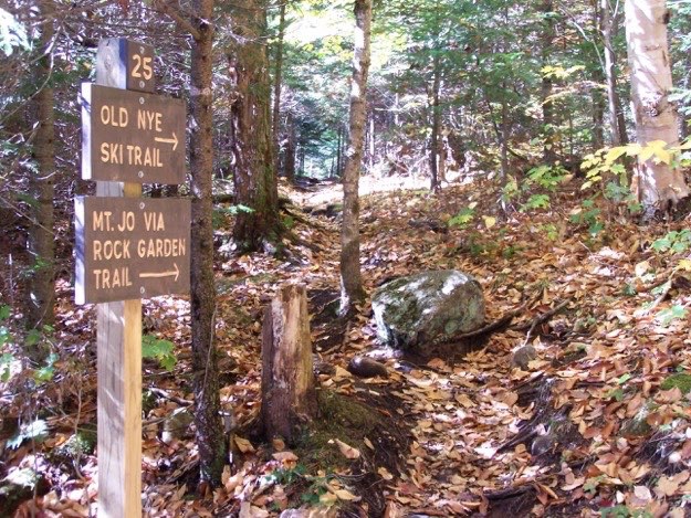
Some of the signs you see at the intersection with the main trail that splits towards either Indian Pass (the left fork), or Street and Nye via the “Old Nye Ski Trail”, (the right fork).
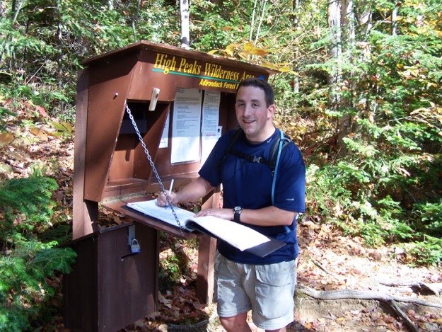
Signing out of the trail registry. Back safe and sound.
Looking back across Heart Lake at Street (on the left), and Nye, the wavy ridgeline in the middle.
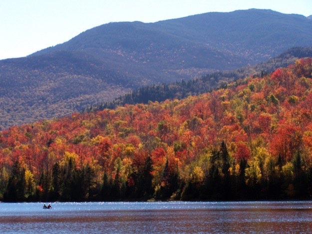
A canoe out on Heart Lake, with the brilliant fall foliage and base of the MacIntyre Range behind.
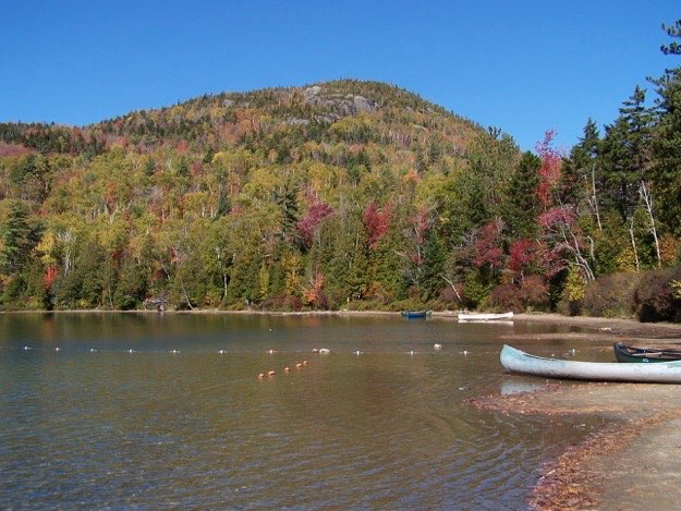
The shoreline of Heart Lake near the Loj, and Mt. Jo behind.
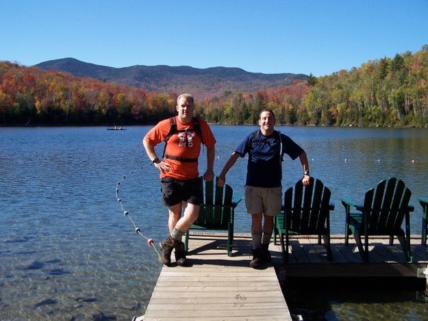
Standing on the dock at the Loj, with Street and Nye behind, acknowledging a job well done!
One down, one to go...
Just enjoying the view, which makes all that hiking so worth it!