Street & Nye 2 (Winter)

March 2014
During the past few winters, I had taken up snowshoeing as an activity that would allow me to continue my love for hiking in the winter months. I had grown so fond of it, that I had decided to try a winter 46er snowshoe hike, and invited my hiking buddies that still needed to cross Street and Nye mountains off their list to go with me.
So they all rented or borrowed the heavy-duty mountaineering snowshoes with the heel bars and really aggressive crampons, and we loaded up the cars and headed north. We thought it would be fun to stay overnight at the Adirondak Loj on a Saturday, and then begin our hike early the next morning, after the free breakfast at the Loj, (at 7:15 AM sharp).
We then began our journey at 8:30 AM, and exactly 7 hours later, we were back again, having covered 9.4 miles of snowshoeing. The weather was blessedly perfect for such a hike. We got very lucky with little to no wind, and even a large amount of sunshine. It was quite nice to have a view at the top of the peaks, for a change!
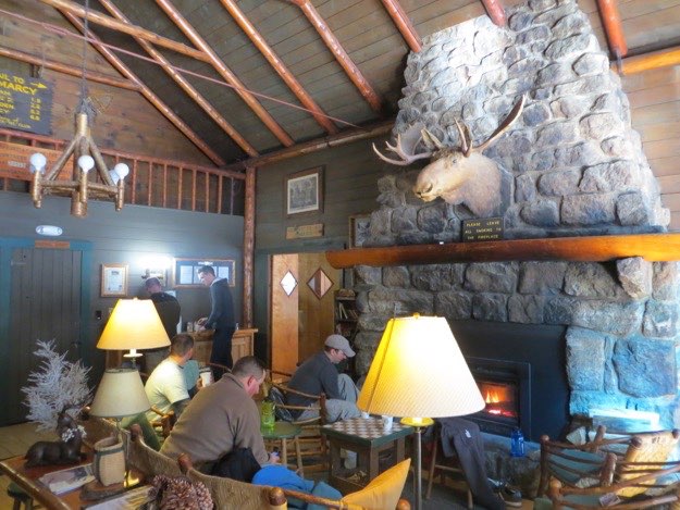
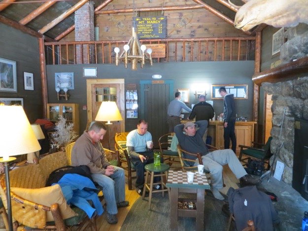
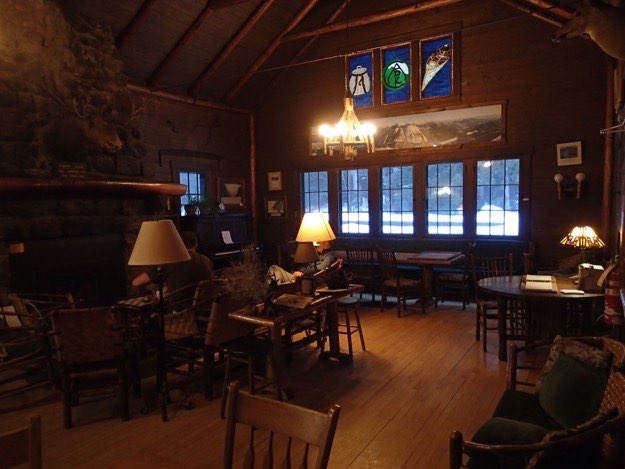
The main gathering area at the Adirondak Loj, complete with the large, warm fireplace and obligatory moose head.
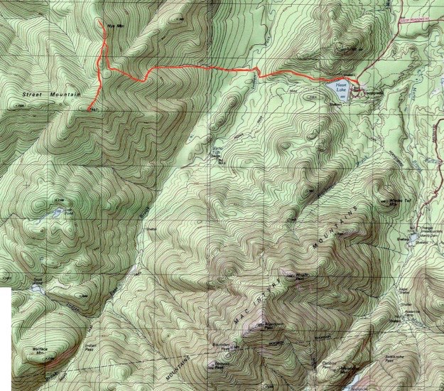
Topographic map courtesy of National Geographic.
TRAILHEAD

The Bump

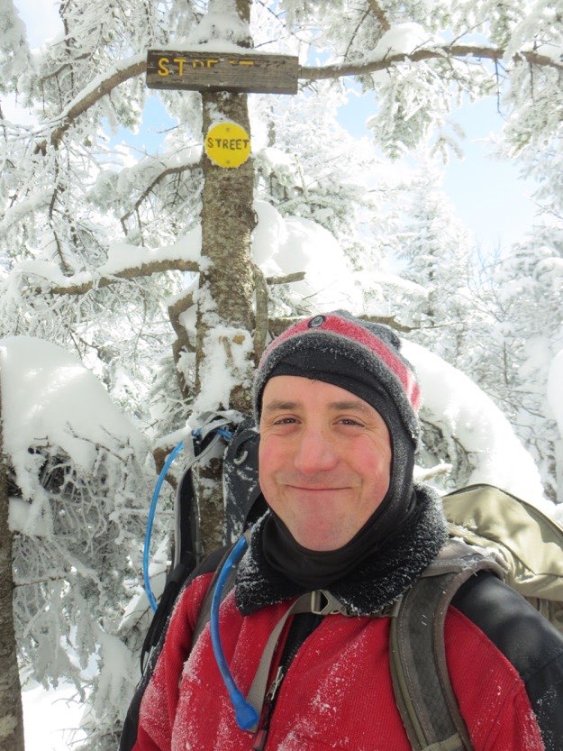
STREET MOUNTAIN

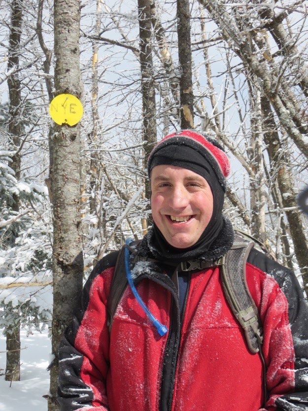
NYE MOUNTAIN

Not even a crack as we all stand on the snow-covered ice.
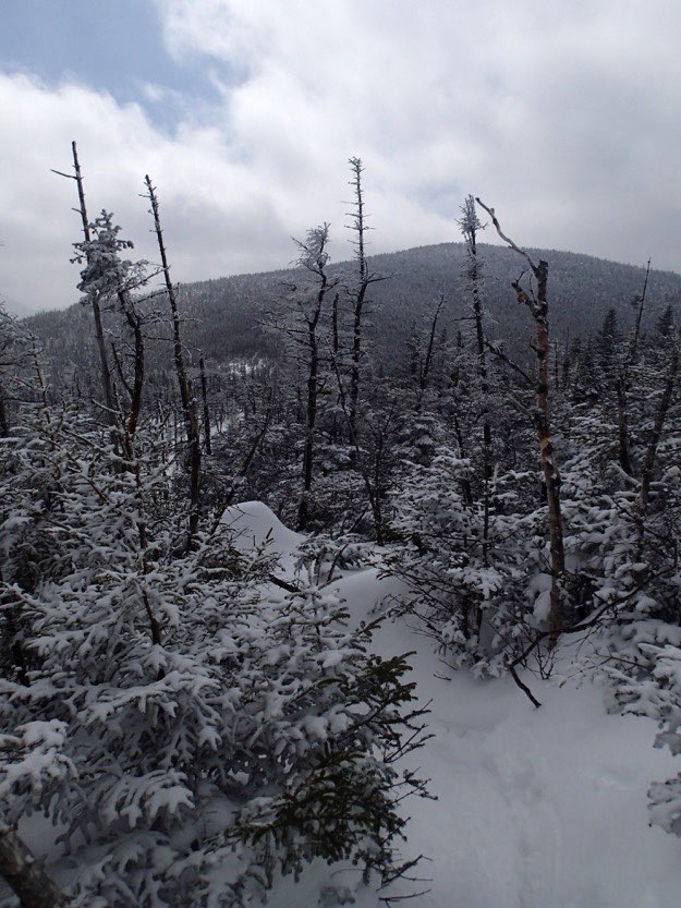
If you look very carefully, you can see the ridgeline of Street and Nye through the trees in the background.
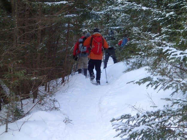
The climbing has begun. It is gentle at this point, as it goes through a beautiful hardwood forest.
The end.
A huge thanks to Tanner Gjersvig and Jonathan Fitch for contributing many of the fine photos seen on this page! They always seem to take pictures when I’m too tired to get my camera out of my pocket, (which is more often than I’d like)!
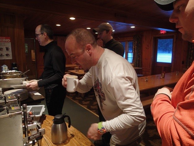
Jim starts out with the most important part of the meal: coffee...
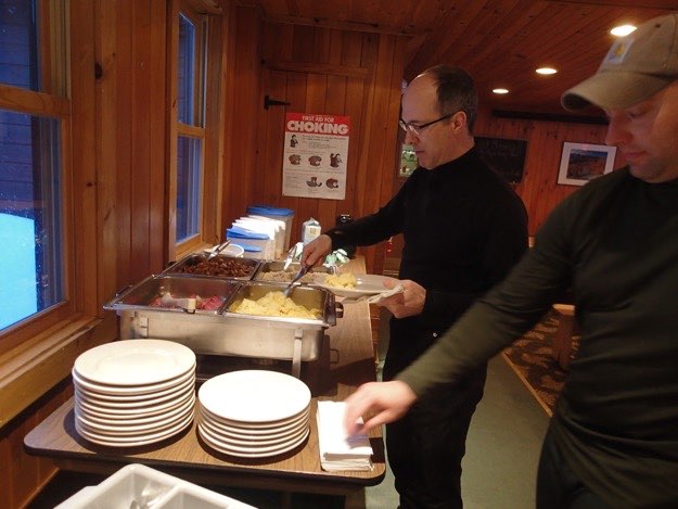
Chris dishes up some scrambled eggs.
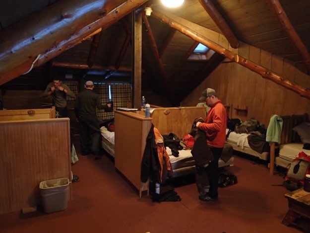
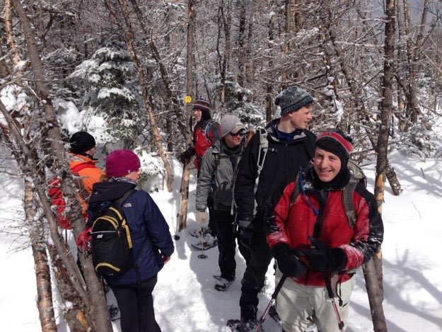
Tanner, Pete and Dave pack up their gear after breakfast, and get on all their hiking clothes. This is the top bunk area, known as the loft, which has 12 single beds.
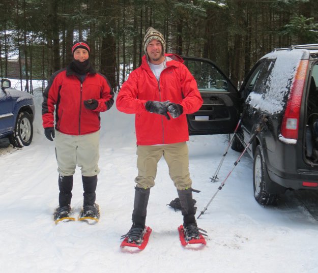
After donning our snowshoes, Jim and I are nearly ready to head out.
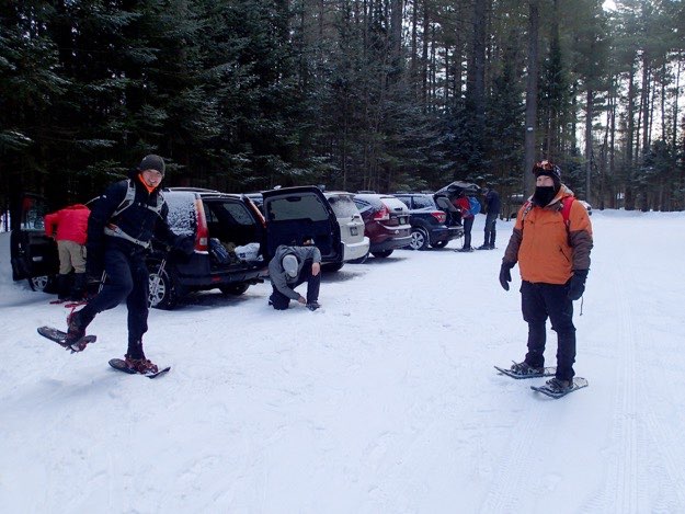
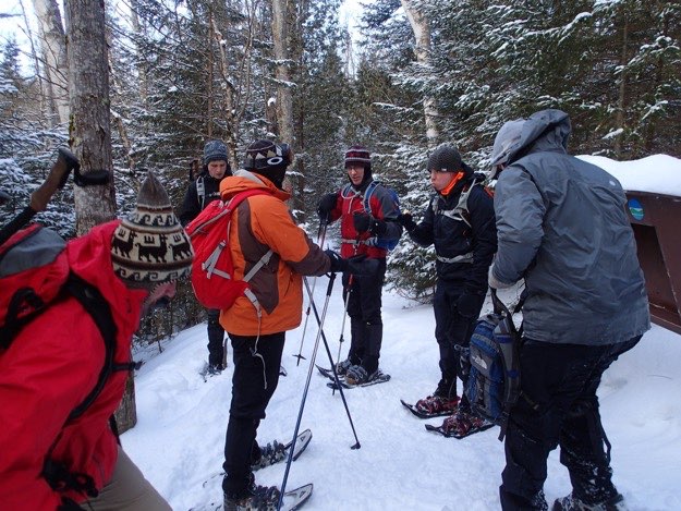
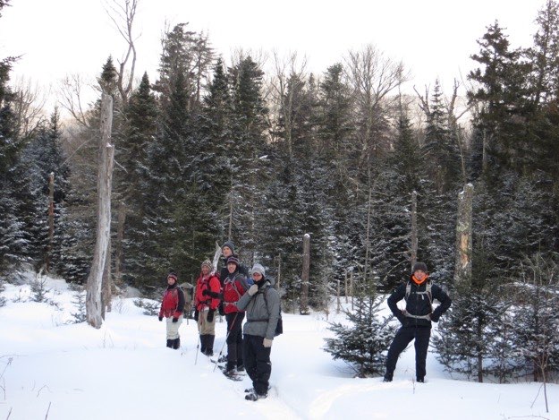
Making final preparations in the Adirondak Loj parking lot.
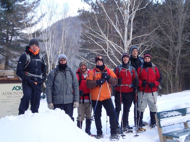
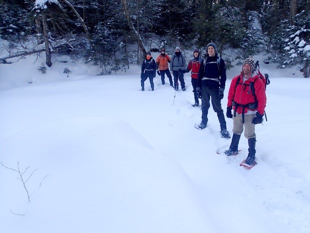
Posing for our departure picture at the Loj. It’s 8:29 AM.
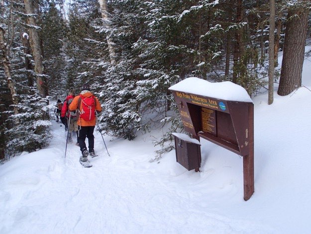
Leaving from the trail right behind the Adirondak Loj, we head around the top of Heart Lake, on our way to join the main trail.
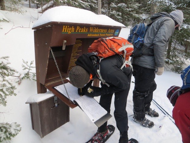
In a few minutes, we arrive at the sign-in kiosk.
Jonathan signs our group in.
After that, we continue on our way, heading west along the top of Heart Lake, just south of Mount Jo.
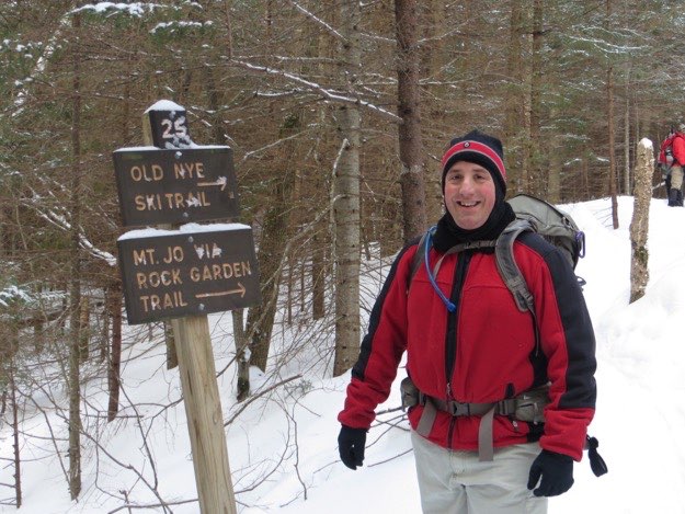
Staying on the main trail will take you southwest, to Indian Pass. We turn right, and take the Old Nye Ski Trail, (which was part of the 1932 winter Olympic cross-country ski trail system). This also another way to access Mt. Jo.
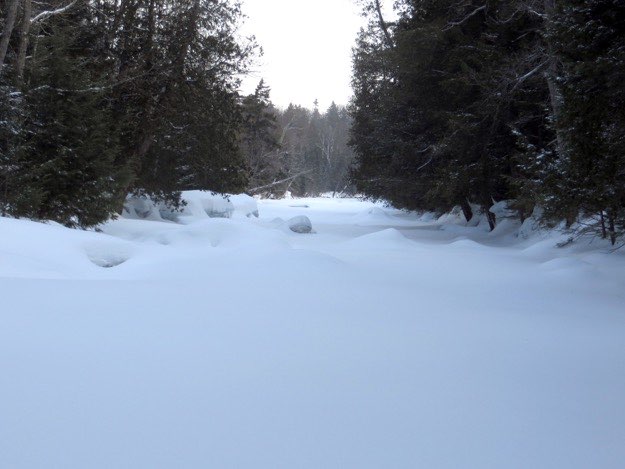
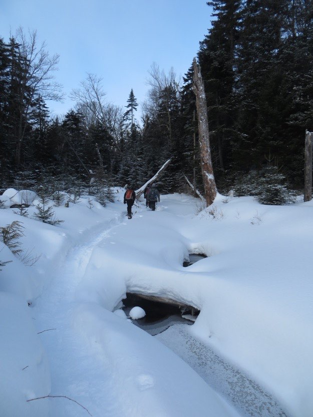
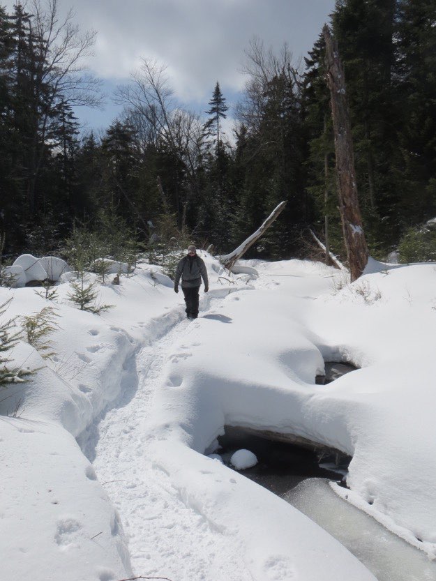
A little while later, we reach Indian Pass Brook, which was completely frozen over (thankfully).
On the western shore, we get ready to continue on.
There’s a nice open area following the brook crossing.
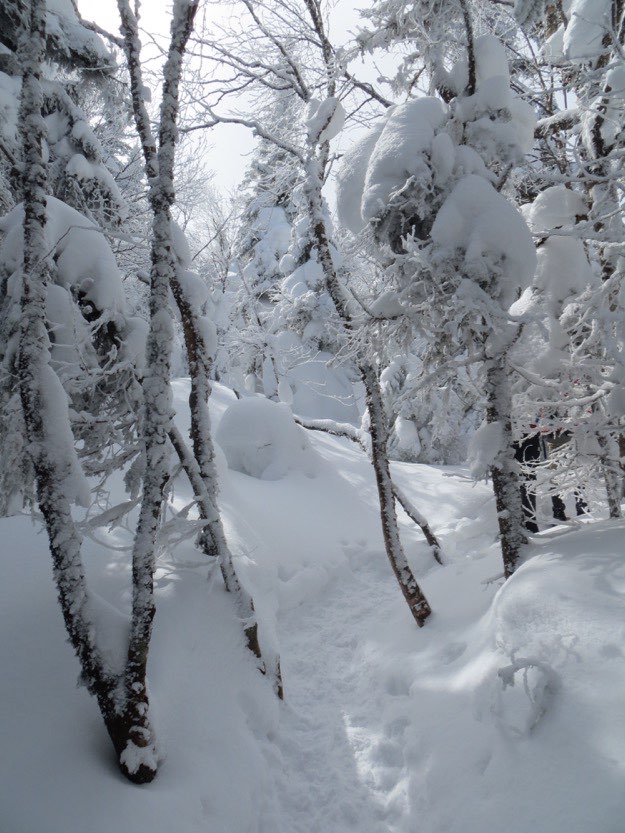
The trail continues along a babbling brook, before heading into the woods.
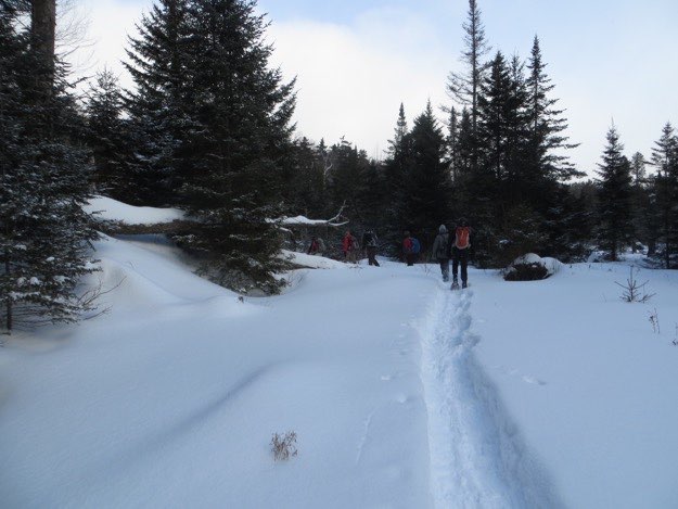
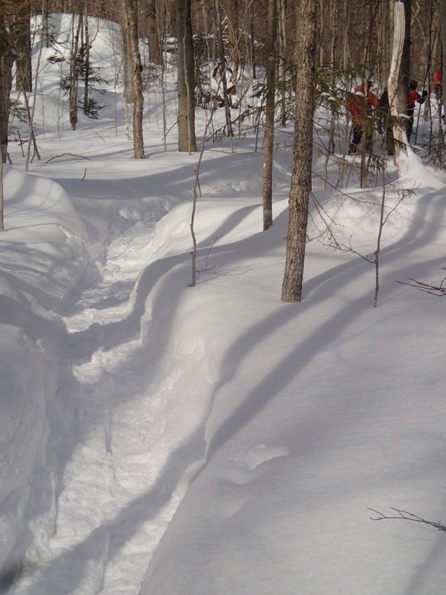
The packed trail is 18 inches below the surrounding powder, but step off into the powder, and you sink!
About 45 minutes later, we’re starting to really see signs of progress. The trees are thin pines, and the views are opening up.
Dave takes a breather while checking out the expanding views eastward.
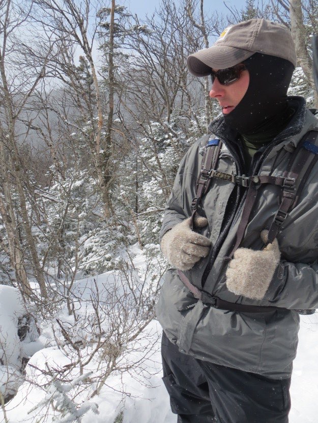
Huffing and puffing, I catch up to the guys.
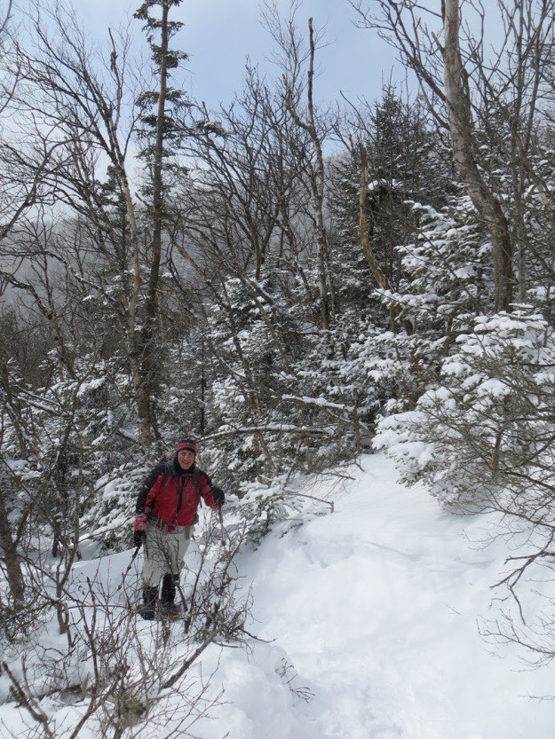
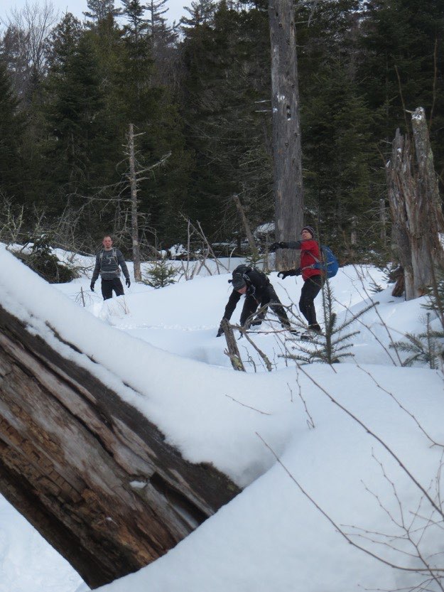
Jonathan ducks under a leaning tree.
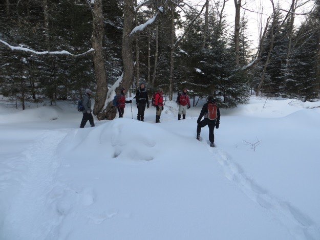
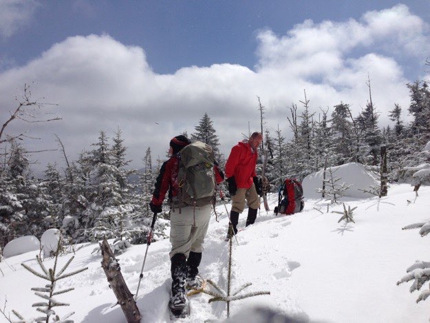
After reaching the trail split clearing at the top of the ridge, we first turn left, and head south towards Street. Here, Jonathan poses at an open area, where you can see the shoulder of Street going off into the right half of the photo. Behind Jonathan is the distant hulking mass of the MacIntyre range.
Looking towards Street’s summit, about a half mile away at this point.
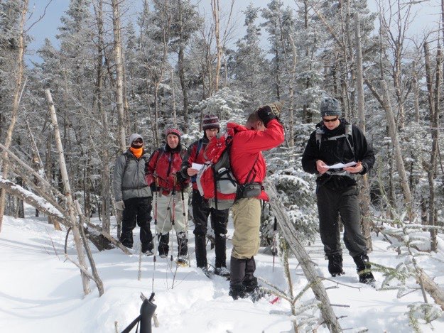
Checking the map for just a minute at the clearing.
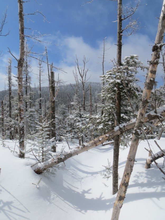
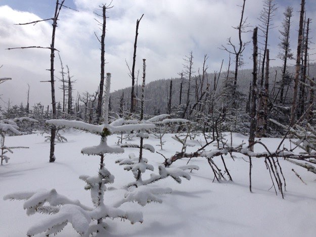
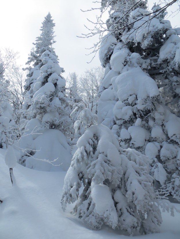
It has clearly snowed quite heavily near the summit in the past 12 hours.
The trees have taken on a magical Dr. Seuss-like look.
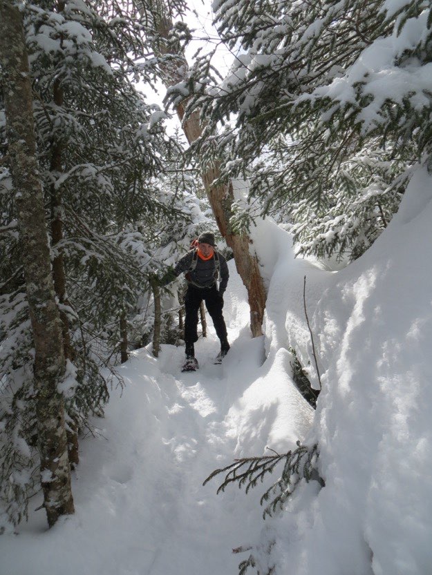
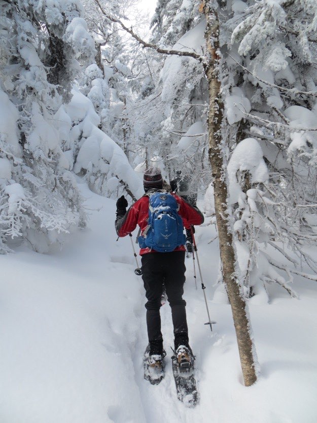
Chris and the rest of the guys head up the trail, dodging the snow-covered low-hanging branches.
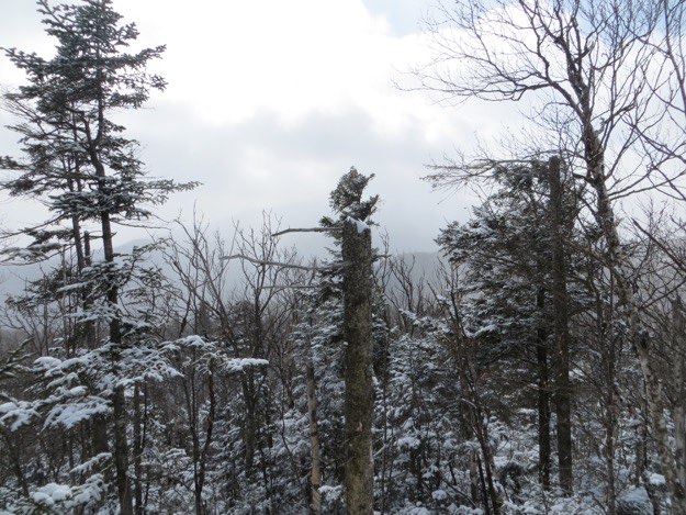
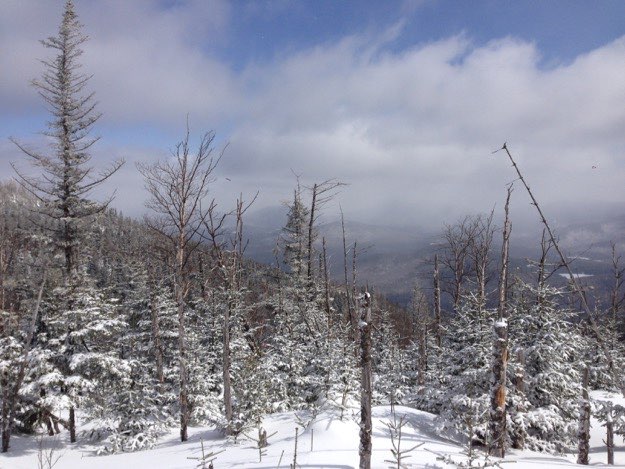
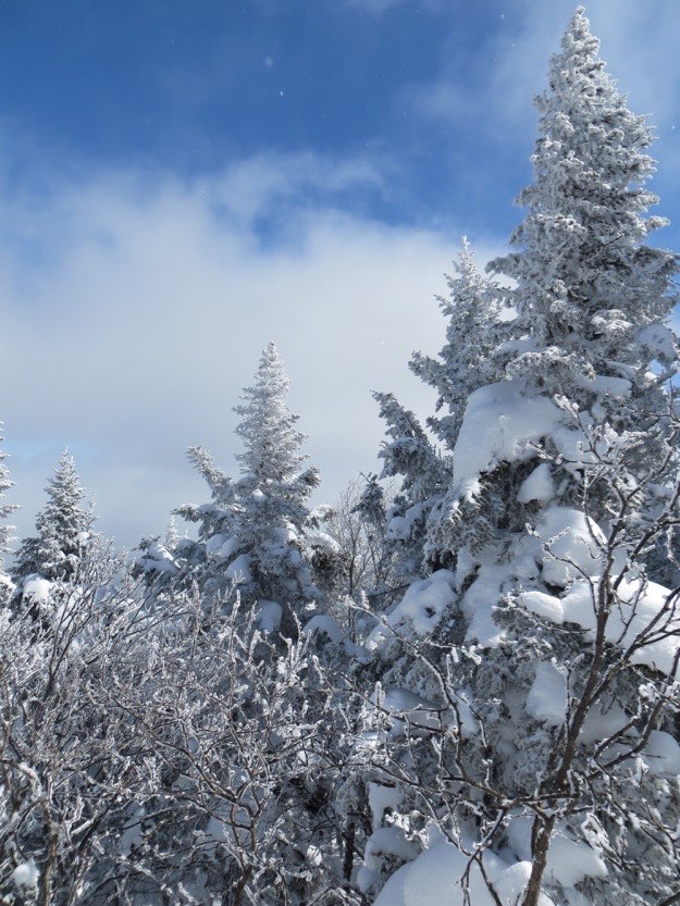
There are more and more windows of blue sky opening up!
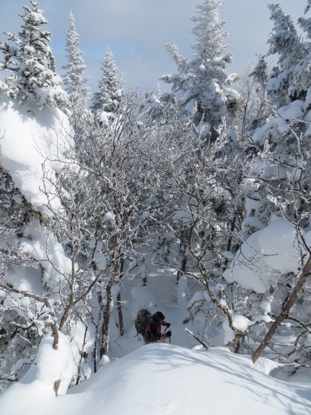
I’m photographed in a window down in the woods, on my way up and around.
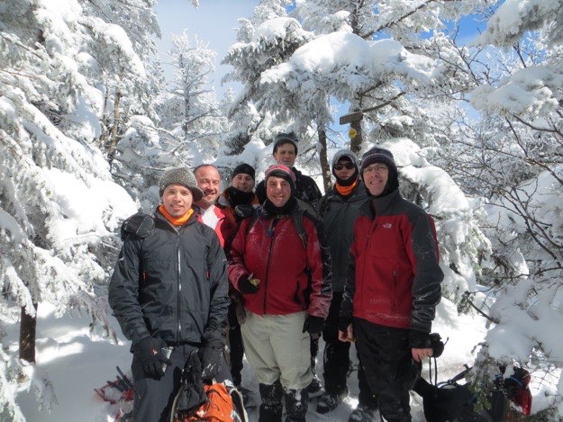
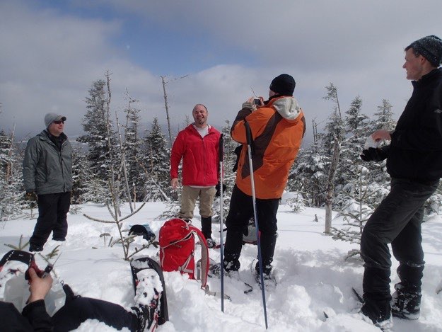
Finally made it to the summit of Street!
The guys gather at the summit sign.
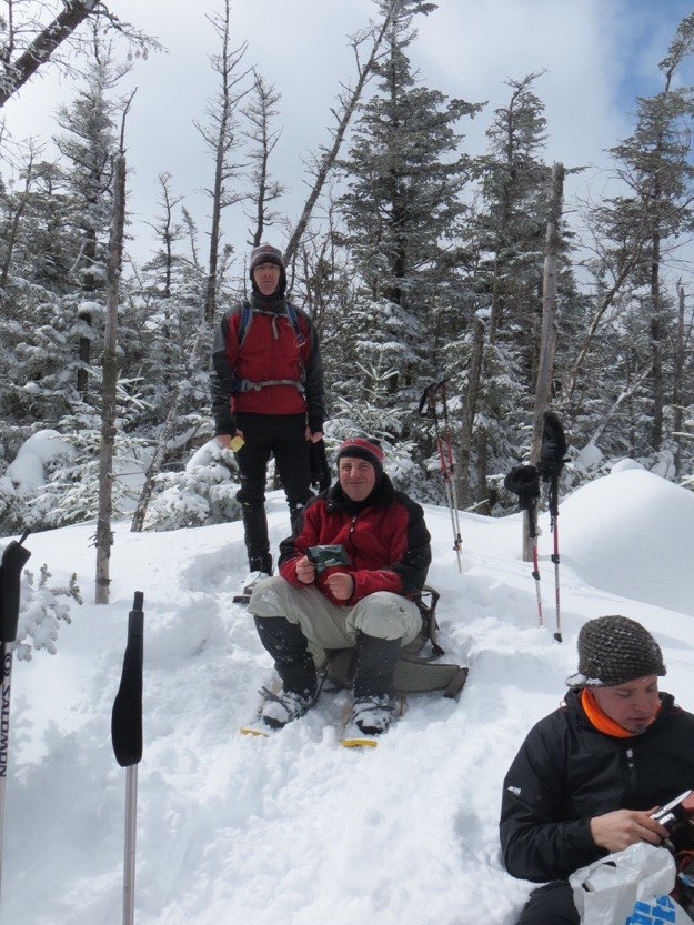
Fast-forward 30 minutes or so, and we’re on the summit for Nye.
Jim laughs about the icicles in his goatee. Note that contrary to popular belief, there IS a view from Nye’s summit. This may be rather new though, because of blow-down and/or the height of the snowpack. I certainly don’t remember a view when I hiked this back in the fall of 2007...
Time to take the pack off and eat some food.
Tanner capturing the moment above...
On our way back to the trail split, we get a nice view of Street again.
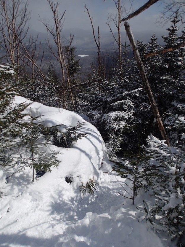
Heading down the mountain, you can see a nice view eastward at a place known as “the lookout”. That white shape in the distance is Heart Lake.
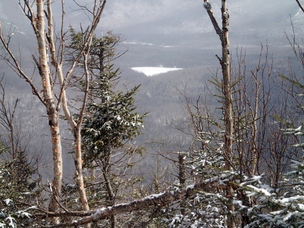
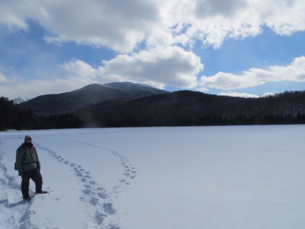
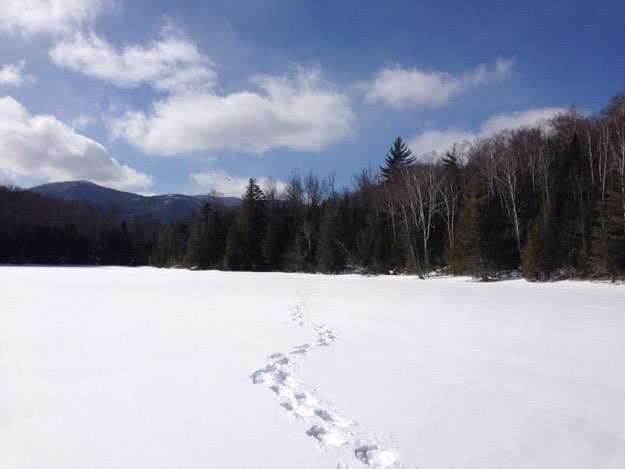
Looking at the frozen Heart Lake, can you see the clearing on the far shore, right in the center? That’s the start and endpoint of our hike; the Adirondak Loj.
Chris is about to launch a snowball at Tanner, who took this photo.
Jonathan sits down for a break in the clearing about a 10th of a mile west of Indian Pass Brook.
Dave emerges out of the woods towards the clearing, along a small stream.
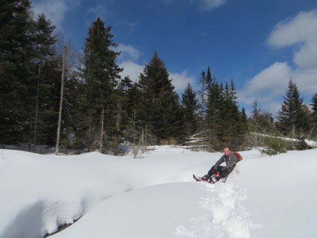
Quite a bit later, Dave takes the shortcut across Heart Lake, with the MacIntyre range behind, (and Mt. Colden peeking out there, too).
The MacIntyre range, from the shore of Heart Lake.
After getting back, we all changed into dry clothes, and warm up by the fire at the Adirondack Loj.
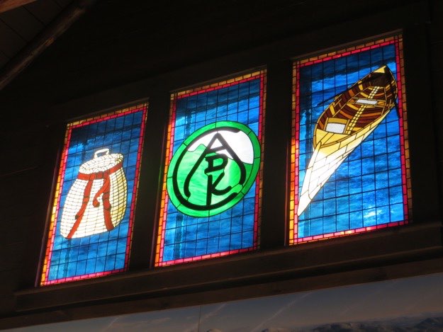
Sunlight streams through the stained glass windows in the Loj.
It felt good to get some hot beverages, and just sit in front of the fire!
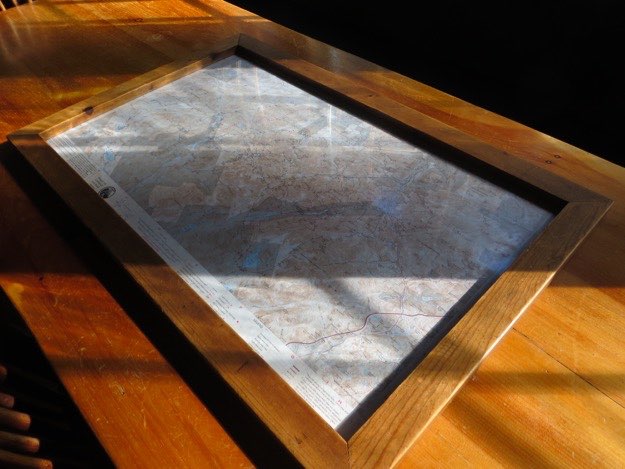
The framed ADK map at the Loj for planning your hikes.
On the way back to Lake Placid, we pull over at the meadow to say goodbye to the high peaks.
Street
Algonquin
Colden and the MacIntyre range.
Algonquin
Colden
Iroquois
Wright
Mt. Jo
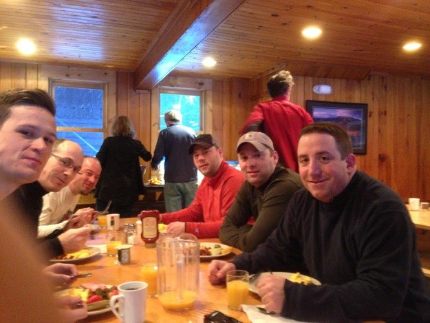
Loading up with a big breakfast before we get ready to depart.
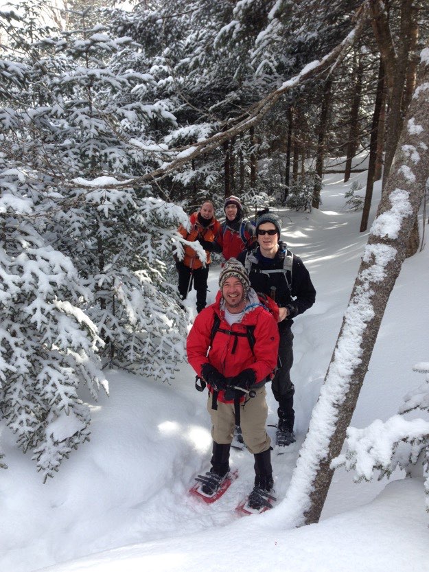
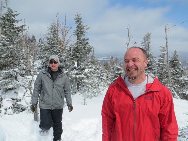
The guys take a break for a photo opportunity.
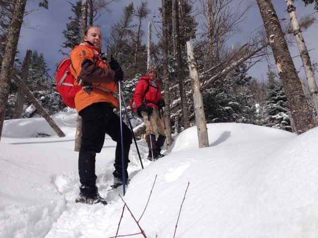
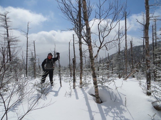
Tanner and Jim are encouraged to see the trees thinning out a bit, as we near the top of the ridge.
Where’s Waldo?
On top of the ridge, the snow is deep. Here, the snow is approximately 5 feet deep, as only the top of the pine trees are poking out of the snow. (And soon after this was taken, Tanner fell into one of the many spruce traps we encountered this day, all the way up to his armpits!)
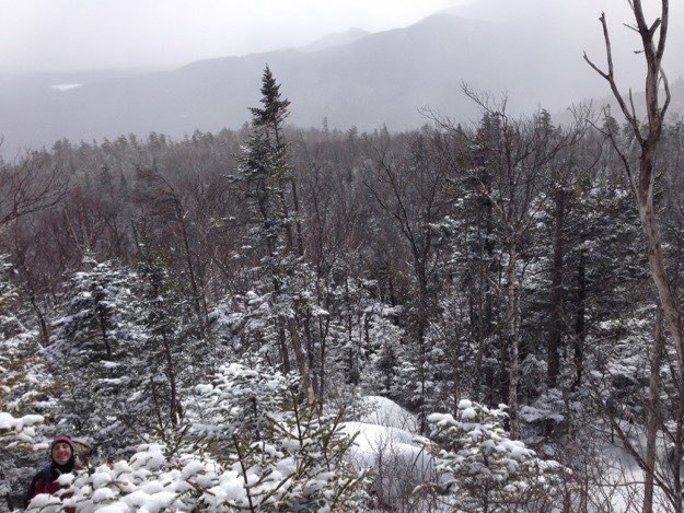
The view from the ridgeline, back eastward.
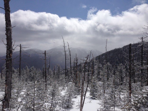
The view southeast, showing the MacIntyre Range, (from left to right: Wright Peak, Algonquin, Boundary and Iroquois)
Here we are loosely gathered at Nye’s summit, with another solo hiker.
Jim and I stake out a nice rest spot 20 yard east of the summit, which is sun-drenched and out of the wind.
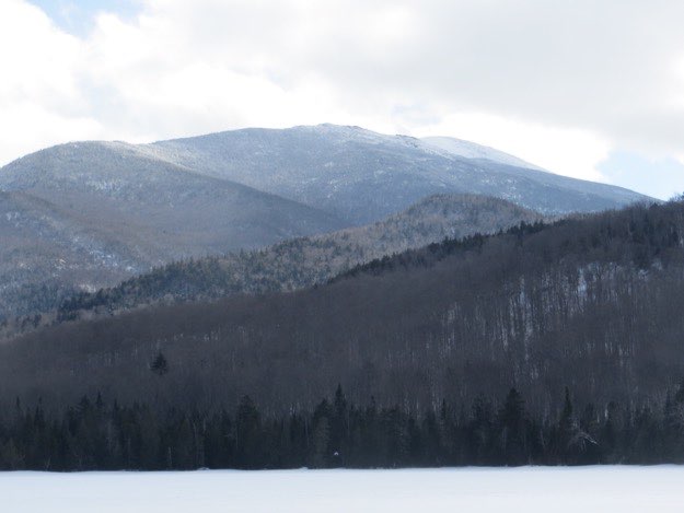
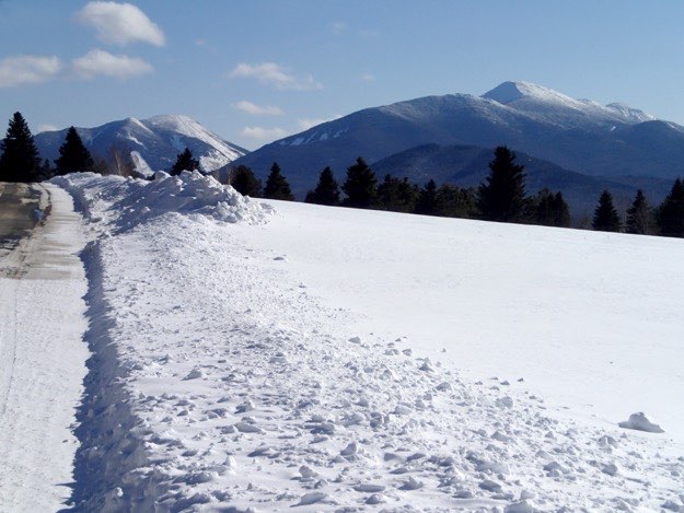
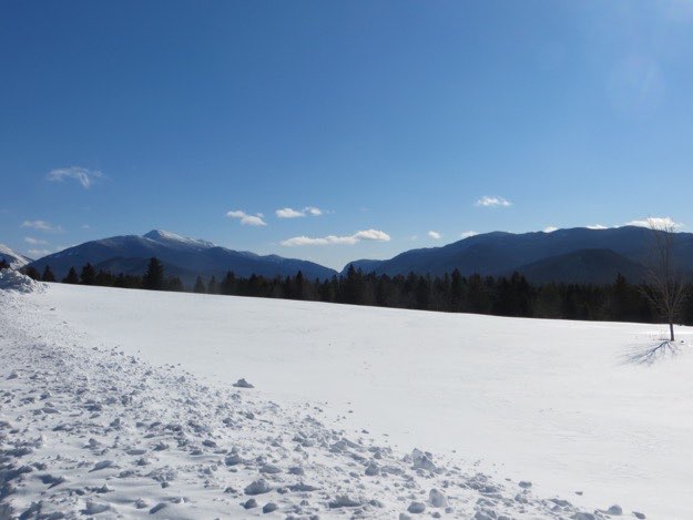
Looking west at Street and Nye from Heart Lake.
Street
Nye