Lower Wolfjaw, Upper Wolfjaw, Armstrong and Gothics

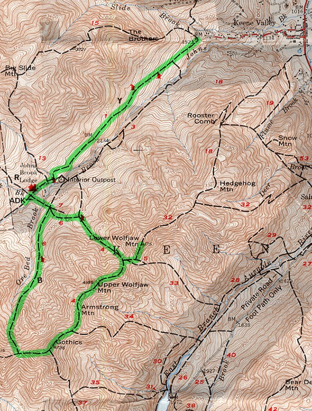
Topographic map courtesy of the Adirondack Mountain Club.

July, 2006


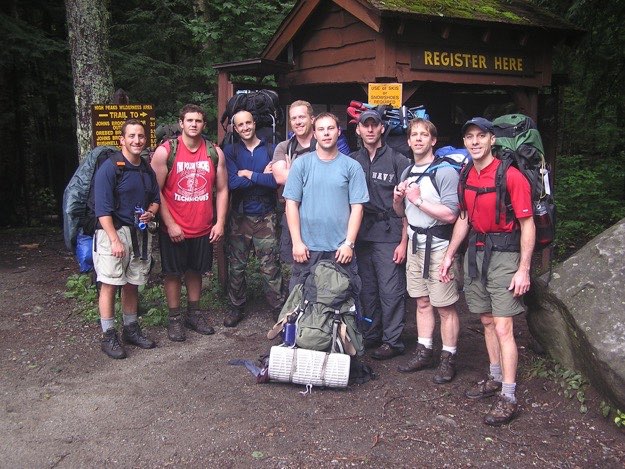
We did this trip as a 3-day weekend warrior trip, hiking in from “The Garden” in Keene Valley to the campsites that are just past the John’s Brook Lodge area. These campsites would be our base camp for the weekend.
The next day, we did a loop, first knocking off Lower Wolfjaw, (30th at 4175 ft.), Upper Wolfjaw, (29th at 4185 ft.), Armstrong, (22nd at 4400 ft.), and Gothics, (10th at 4736 ft.).
The weather that day was quite uncooperative, as you’ll see from the lack of photos. A discouraging lack of views due to cloud cover and rain made this hike certainly less enjoyable.
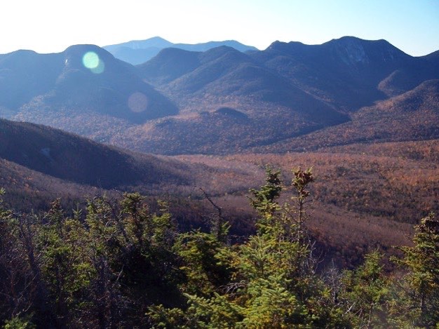
Northern Great Range as seen from Big Slide Mountain.
CAMPSITE
Gothics
Armstrong
Upper
Wolfjaw
Lower
Wolfjaw


(Part of my Original 46er quest)
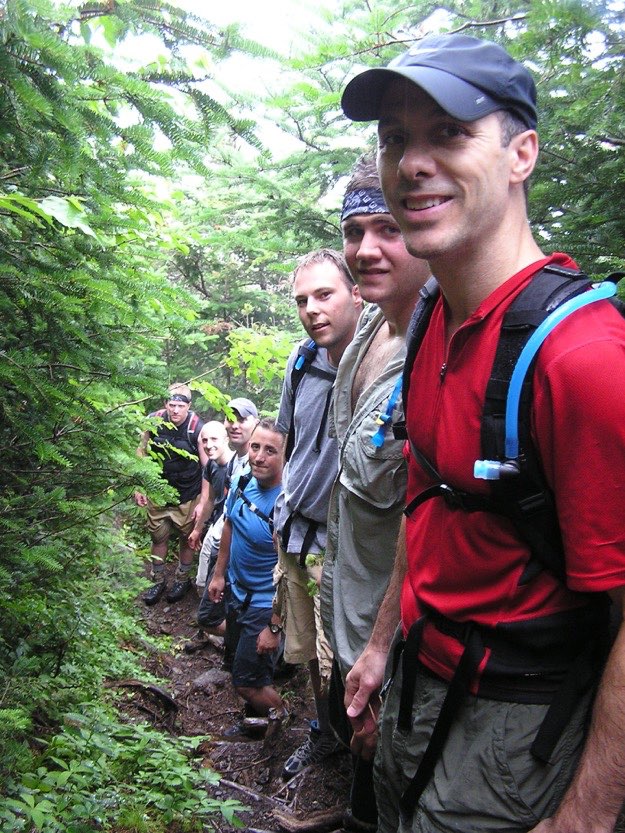
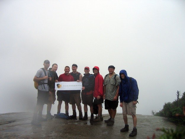
The intrepid hikers at the trailhead in the Garden. From left to right are myself, Justin, Pete, Andy, Tanner, Dave, Scott and Chris
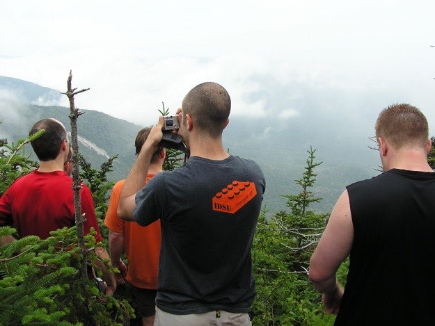
The guys soak in the view atop Lower Wolfjaw. It hasn’t started to rain, yet...
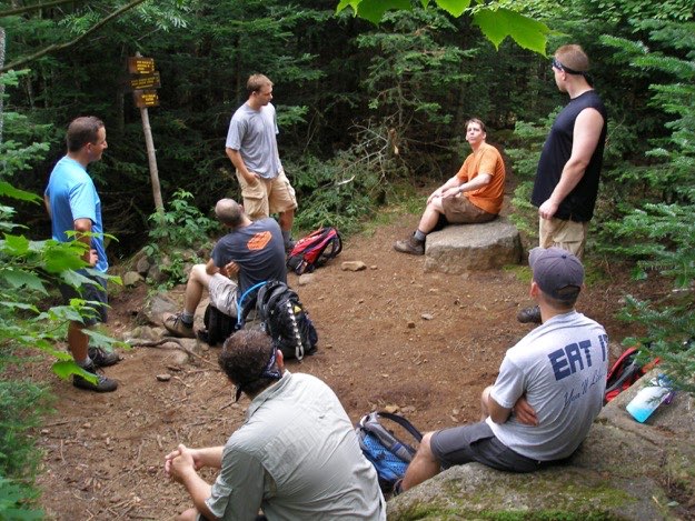
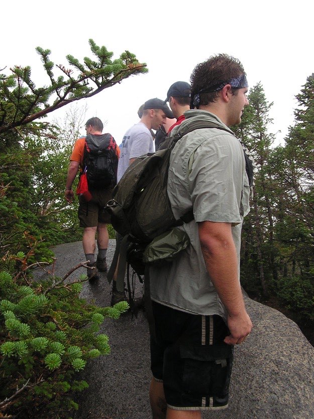
We stop for a break at the clearing which serves as the intersection between the two Wolfjaws, and the trail that heads back to John’s Brook Lodge.
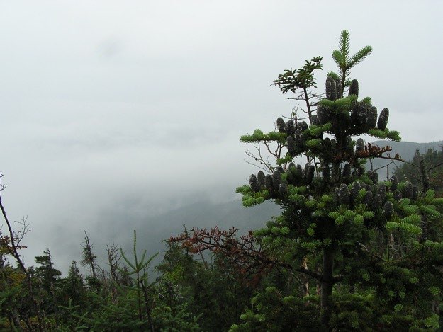
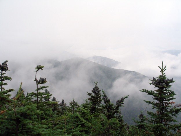
The only view we had of the day was on Lower Wolfjaw, but even that view was pretty weak...
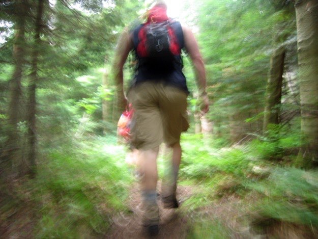
A cool action shot of Andy hiking up the trail. Yes, we were just going that hard and that fast... (not really).
A mysterious, if not ominous view from Upper Wolfjaw. Too many clouds to identify what peaks we’re looking at...
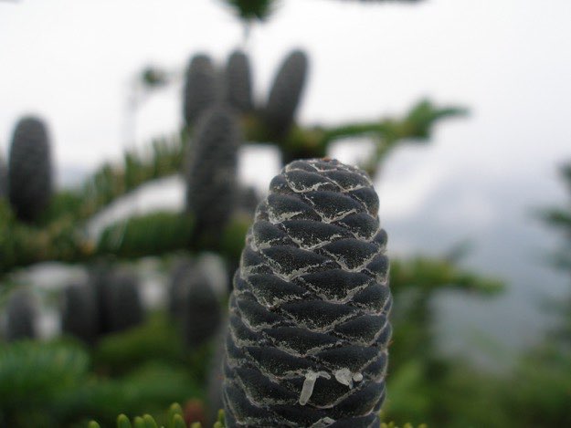
Macro lens time: extreme closeup of a pine cone at over 4000 feet...
On our way up to Armstrong. It has started raining, but we’re still in good spirits.
The guys standing on the tiny summit of Armstrong, in the rain, with absolutely no view whatsoever.
Standing in the wind and rain, quite literally inside of a cloud atop Gothics. After this photo, we quickly began descending, because it was too cold up there, and there was really no reason to stay.
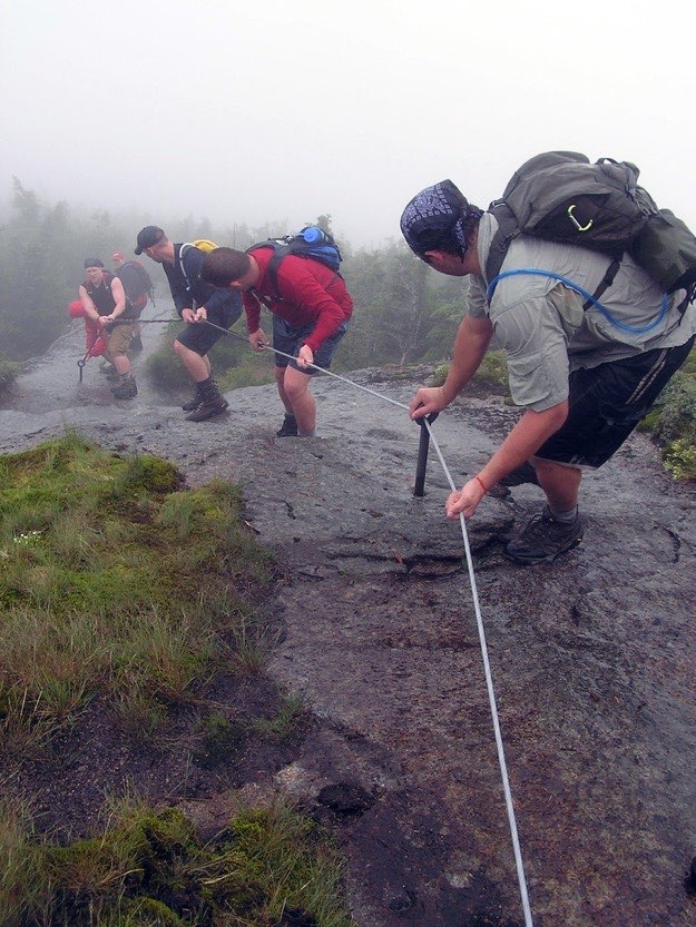
Precariously descending down the cables on Gothics. The rock was wet and very slippery.
This was quite thrilling, for my first high peak adventure!
We slipped and slid a lot on the way down Gothics. Then we hiked back to camp on the infamous Ore Bed Brook trail. This trail is marked at about 3 miles, but let me tell you, it seems more like 5 miles. I’ve hiked this many times now, and it always seems as if time literally slows down in this section of the high peaks. Maybe because it’s always at the end of a hike when I hit this trail, and my legs are jello and I’m dehydrated or something. But just be forewarned; it will seem to take longer than it seems it should!
After sleeping one more night at the campsite, we packed up our wet tents, and hiked out the next morning. It had rained for 24 straight hours on us. It wasn’t until after we got in our cars, and drove to the Noonmark Diner in Keene Valley, that we finally saw the sun come out. Ironic, no? Note: this is not the last time this happens to me...
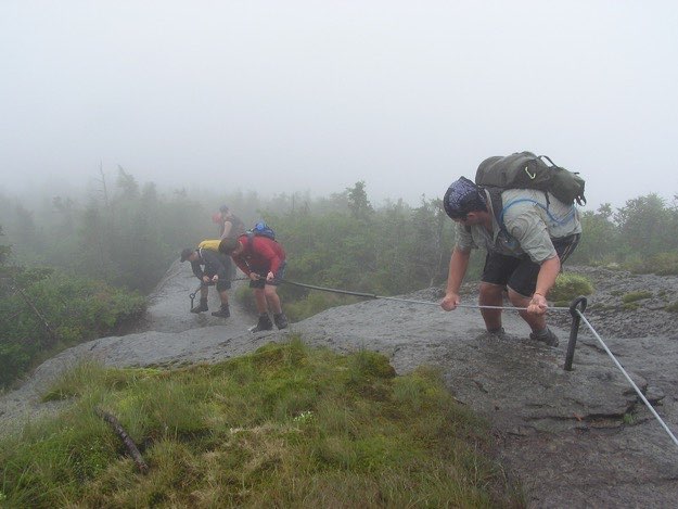
We start descending down into the col between Saddleback and Gothics, where there’s a cable installed for slippery days like this one, (thankfully)!